Road Signs

Learn traffic signs, signals and road markings.

Circles give orders
Triangles warn
Rectangles inform
Blue circles generally give a mandatory instruction, such as ‘turn left’, or indicate a route available only to particular classes of traffic, e
Red rings or circles tell you what you must not do, e
Blue rectangles are used for information signs except on motorways, where blue is used for direction signs
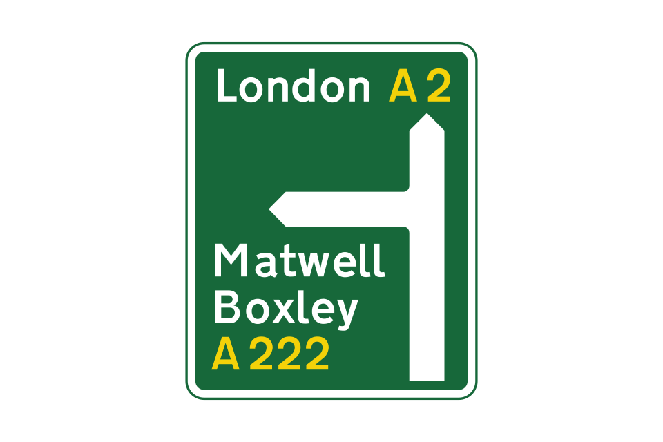
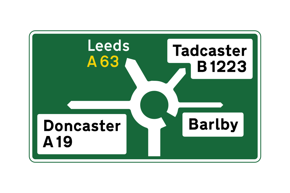
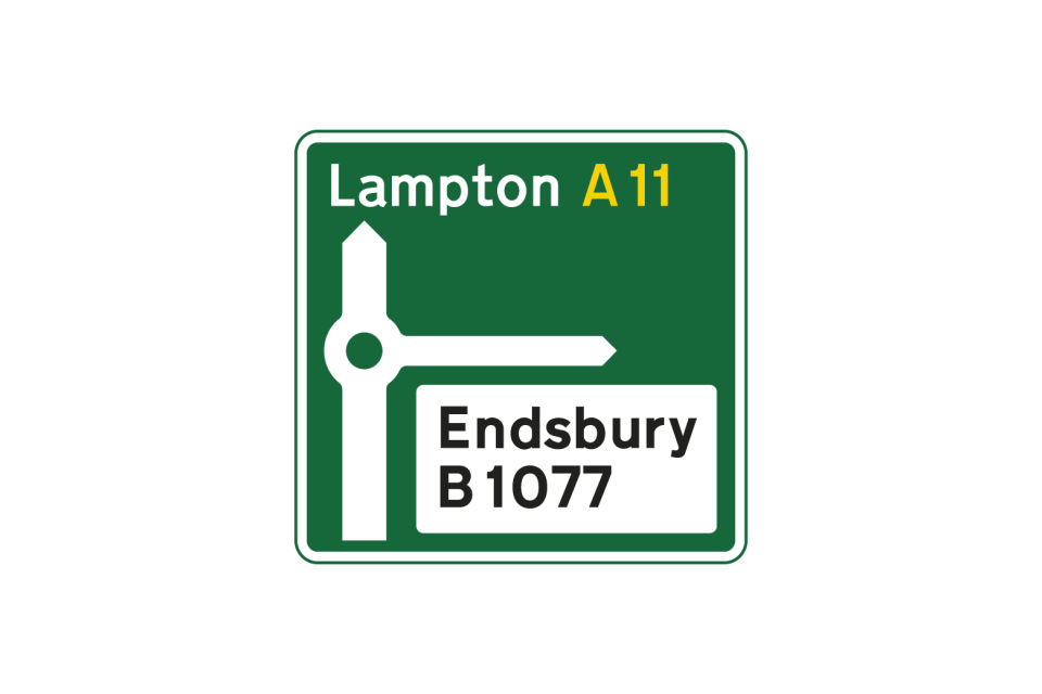
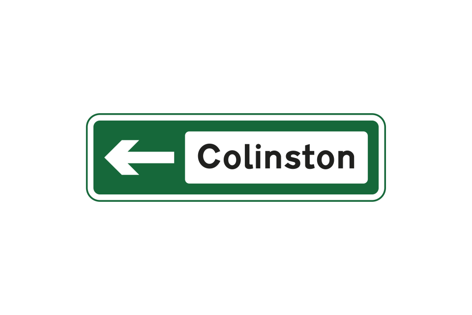
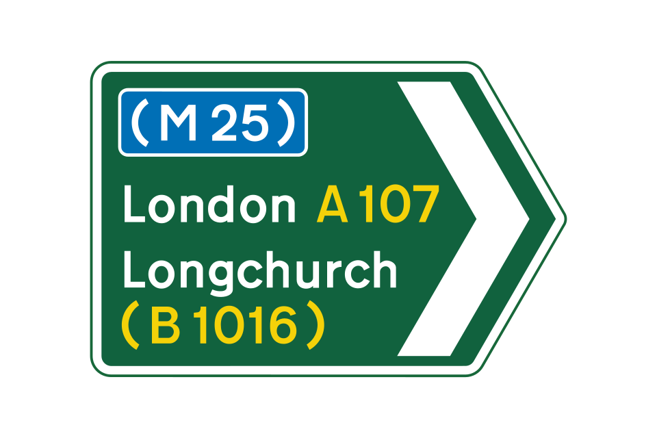
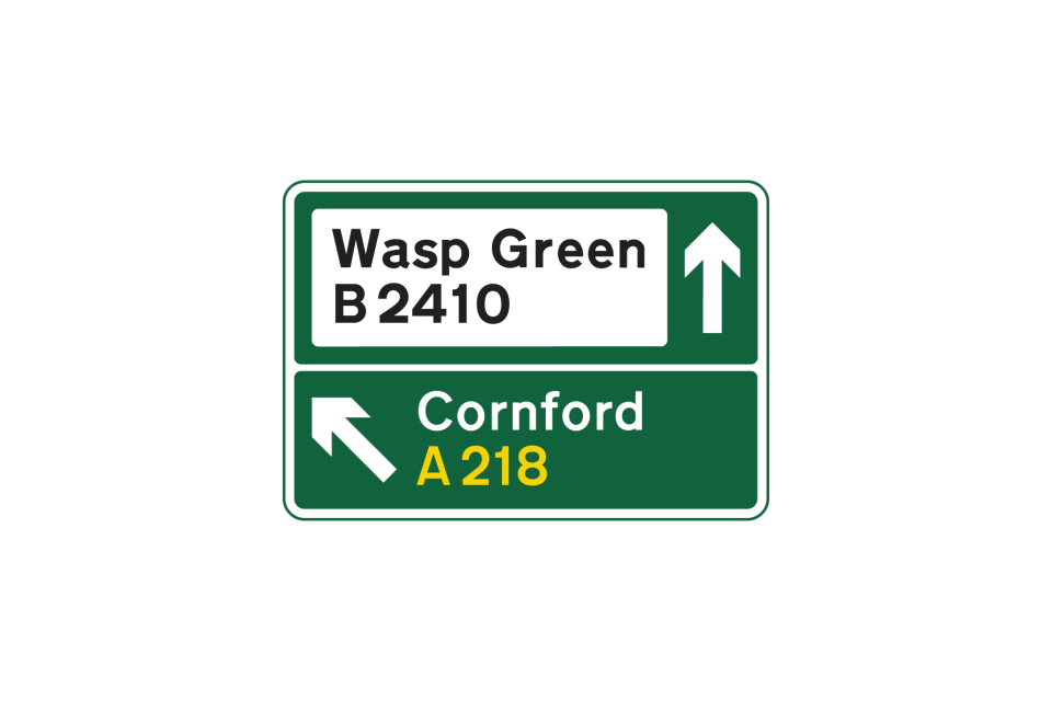
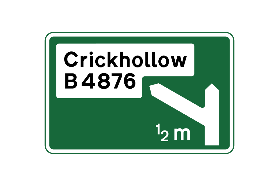
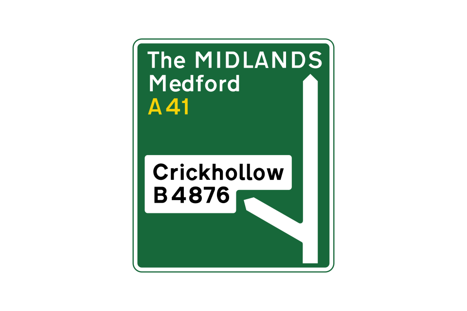
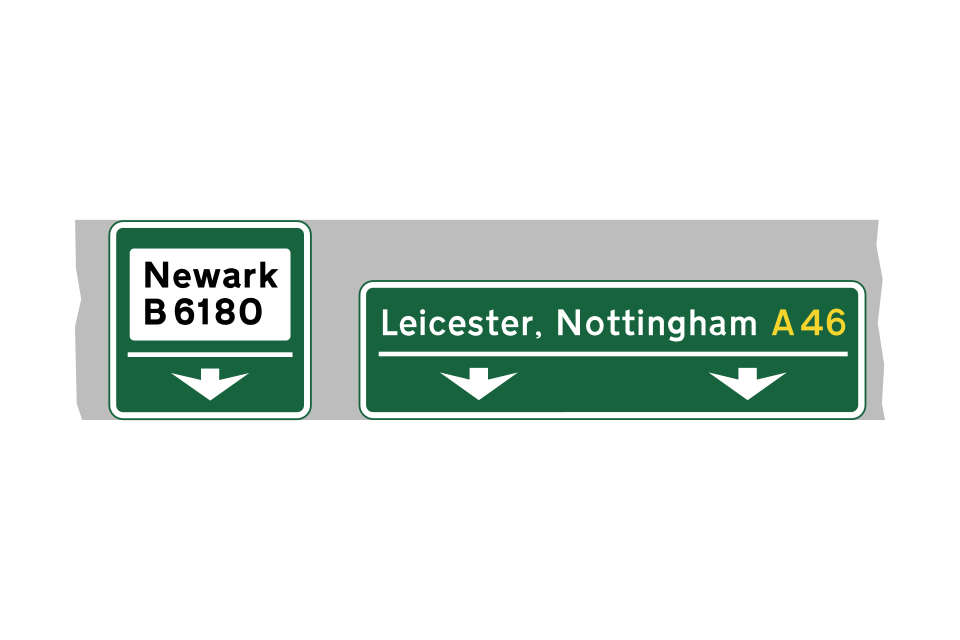
Green rectangles are used for direction signs on primary routes
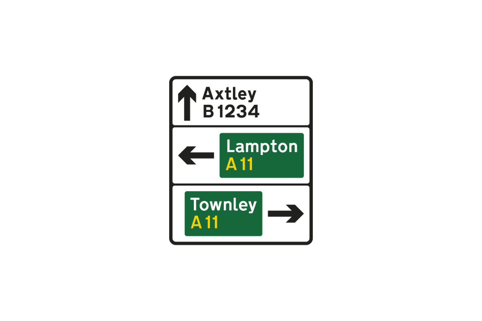
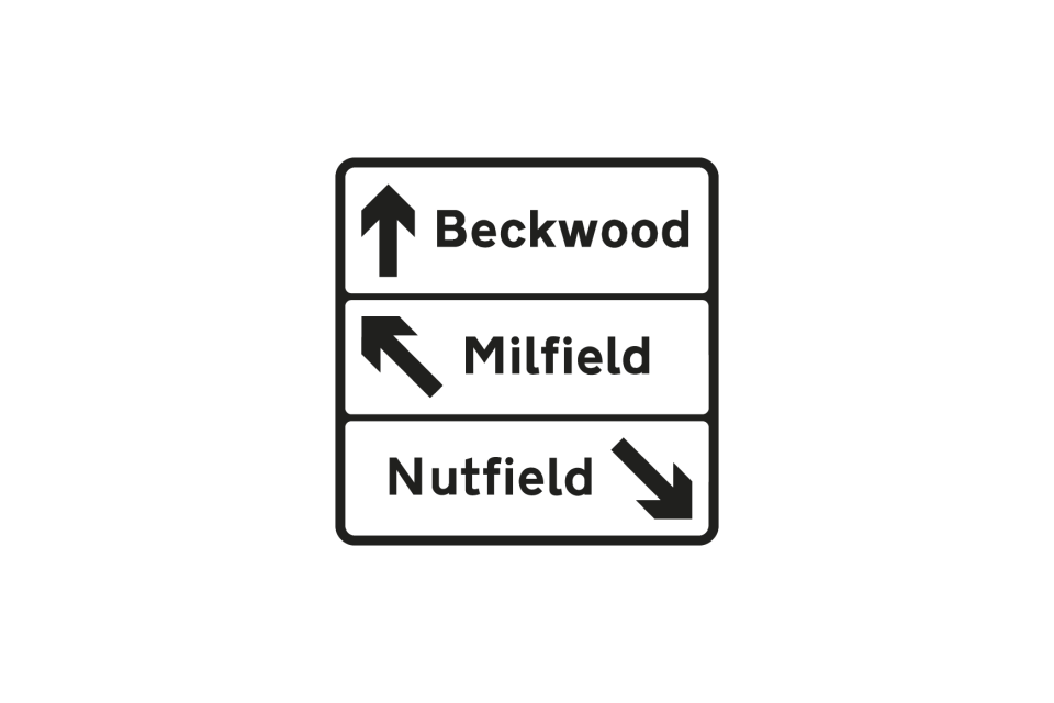
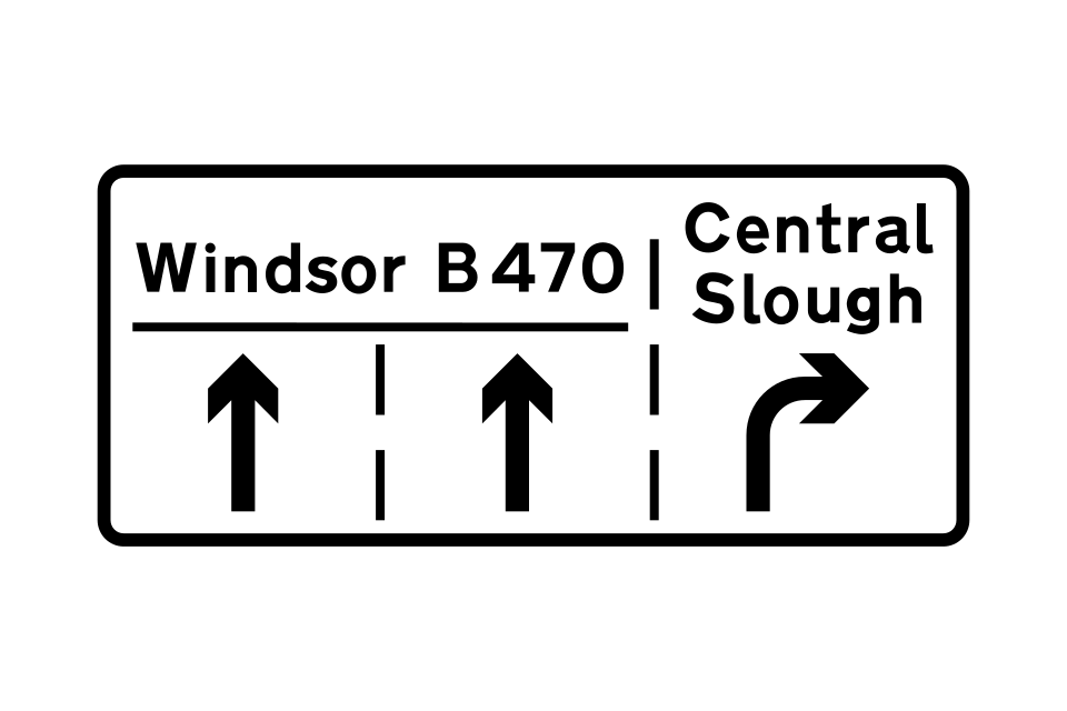
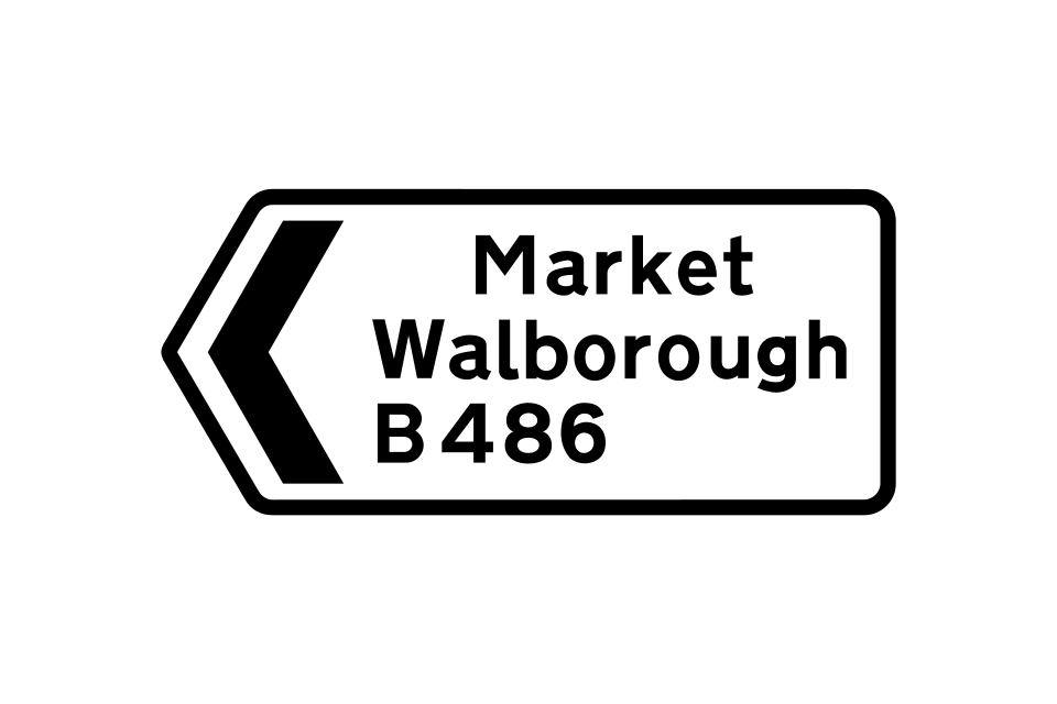
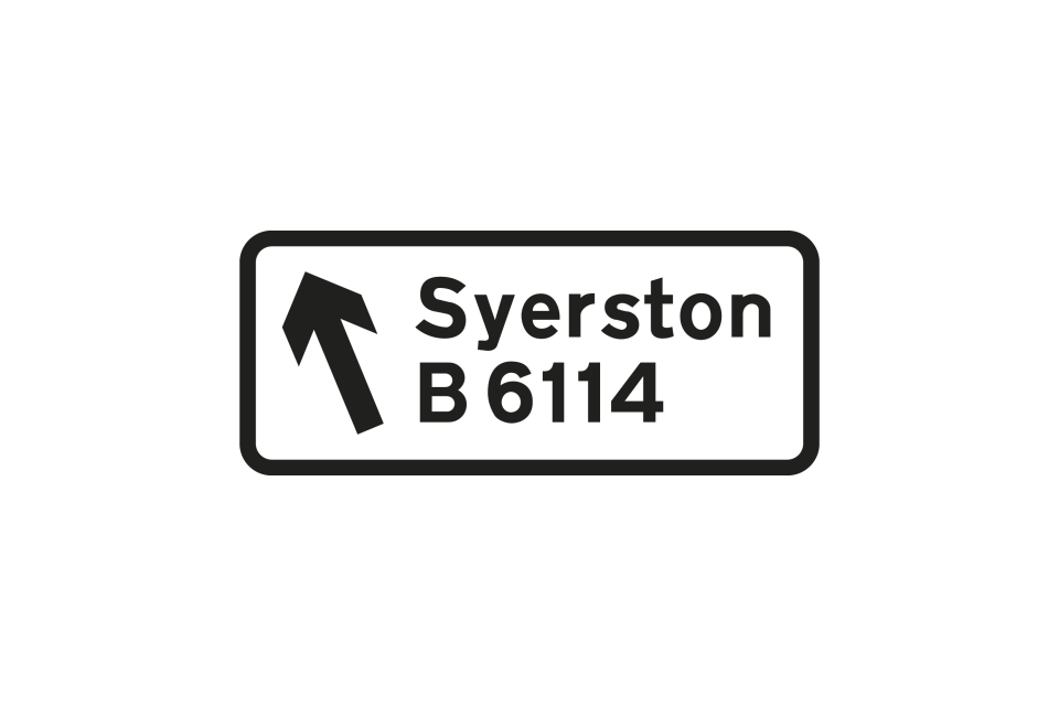
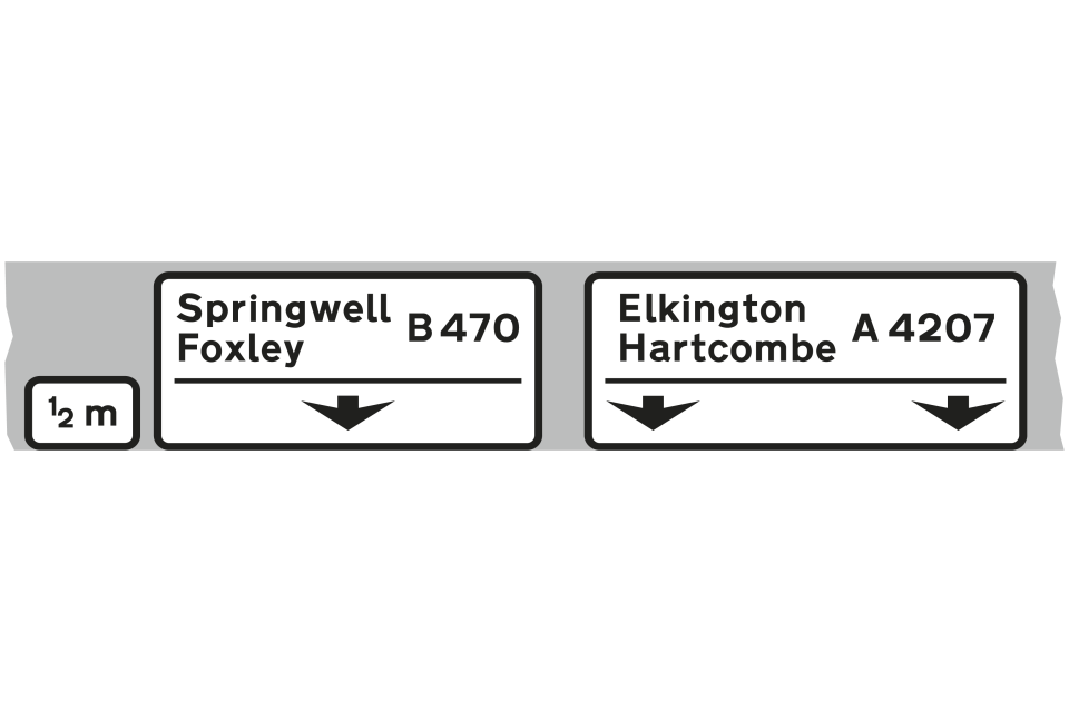
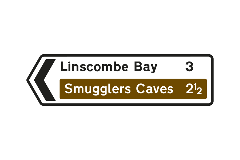
White rectangles are used for direction signs on non-primary routes, or for plates used in combination with warning and regulatory signs
Stop sign
There are a few exceptions to the shape and colour rules, to give certain signs greater prominence
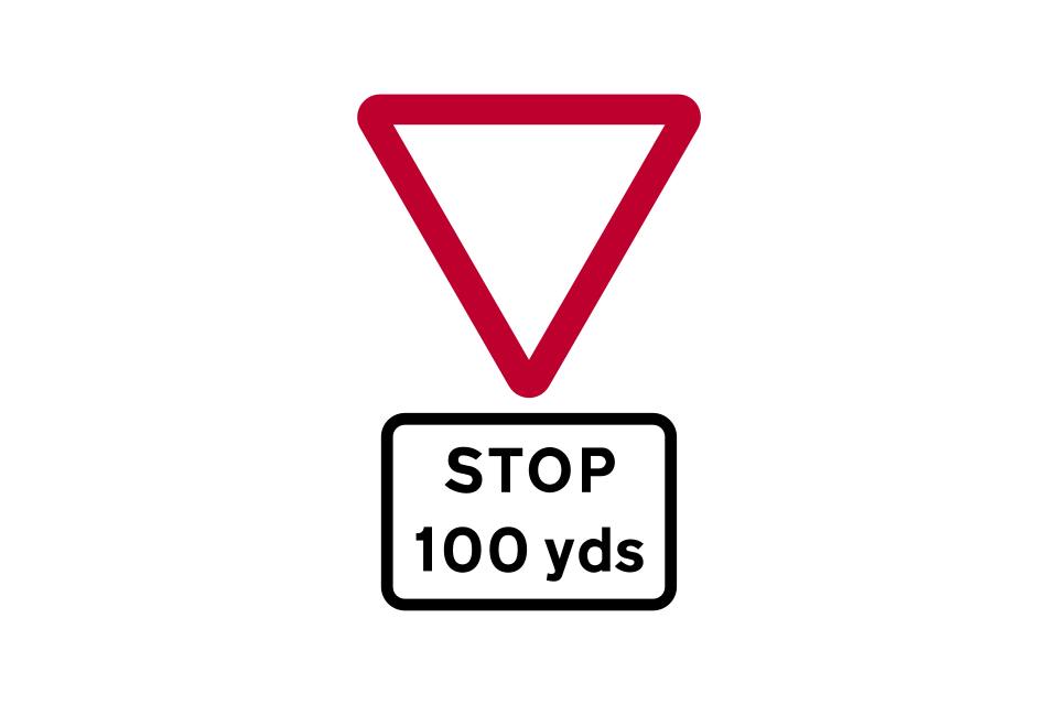
Distance to STOP line
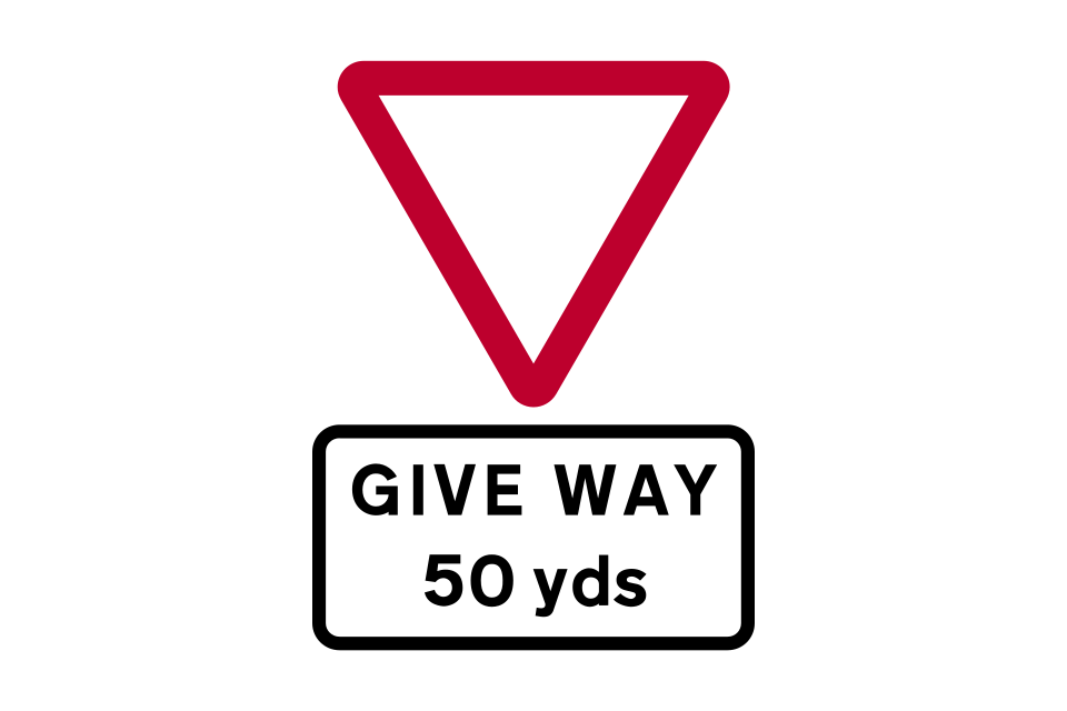
Distance to GIVE WAY line
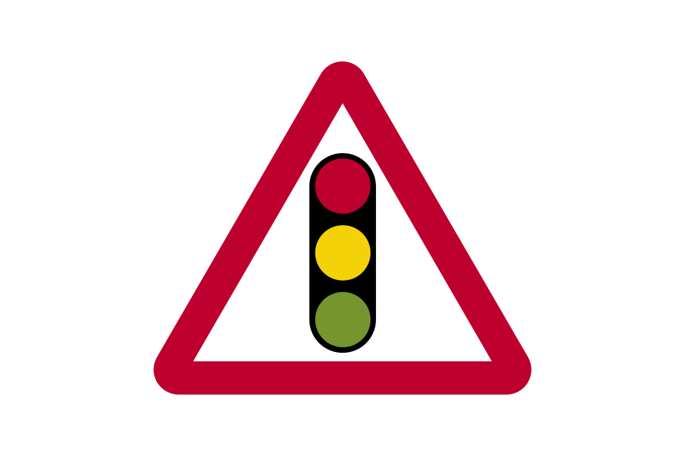
Traffic signals ahead
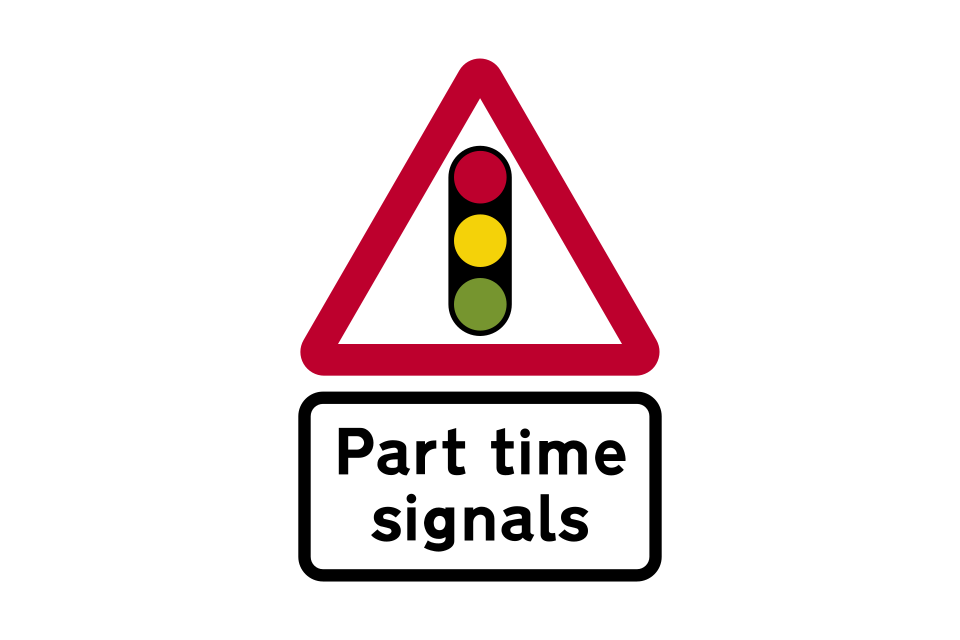
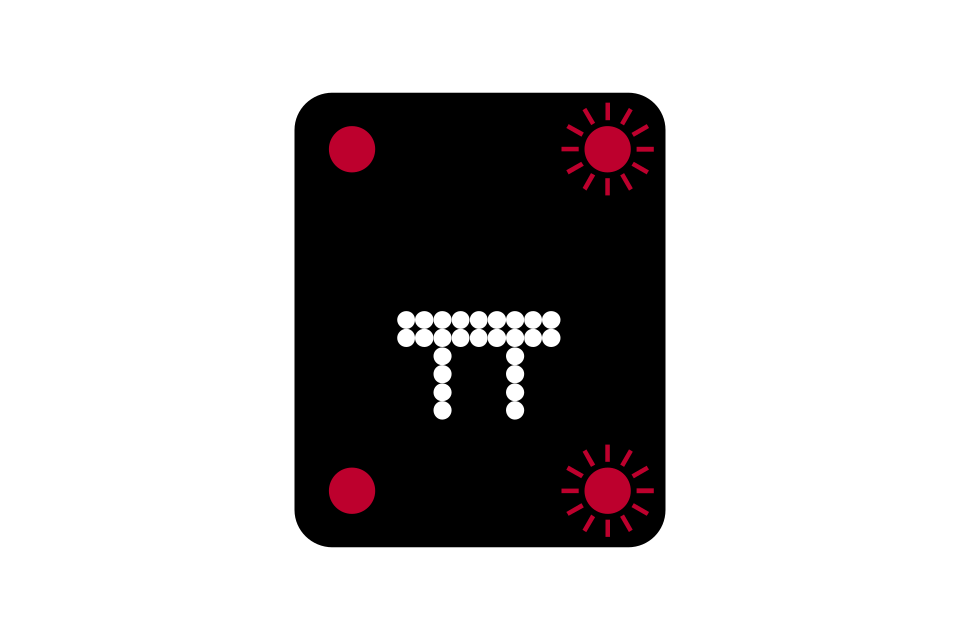
Traffic signals that operate only at certain times
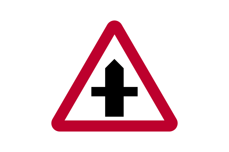
Crossroads
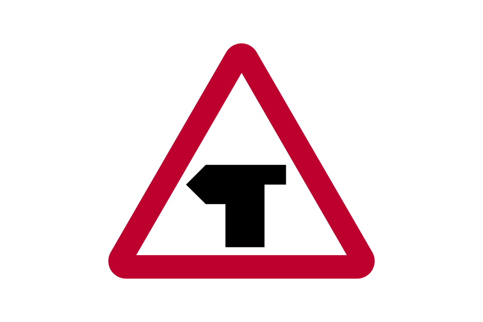
T-junction
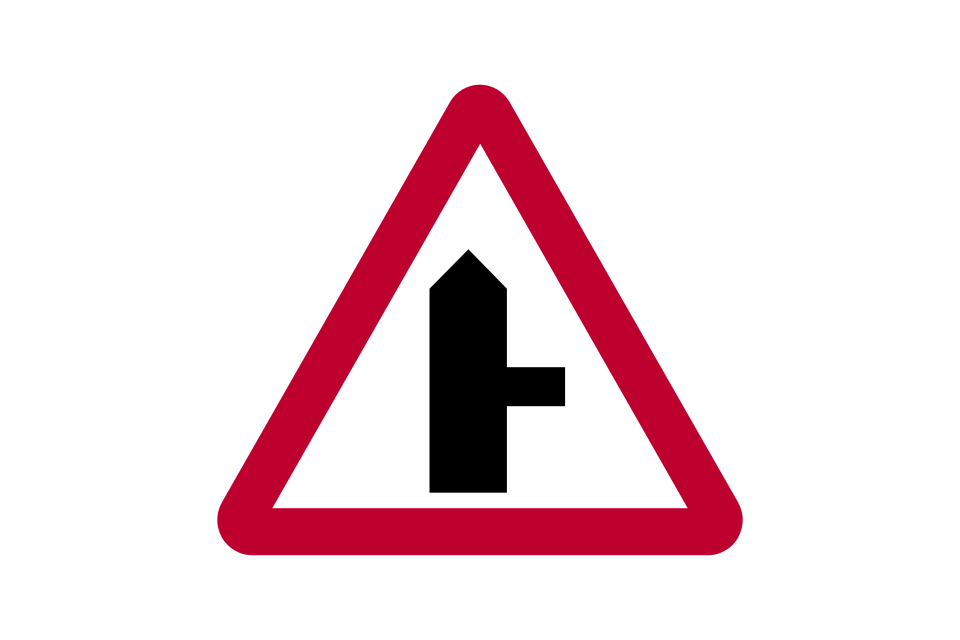
Side road
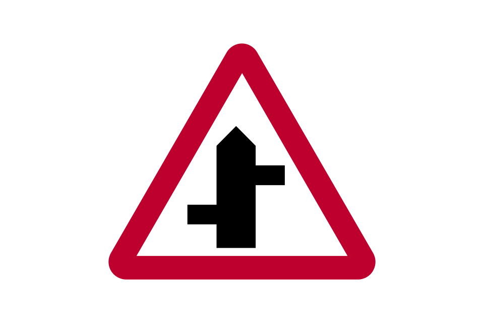
Staggered junction
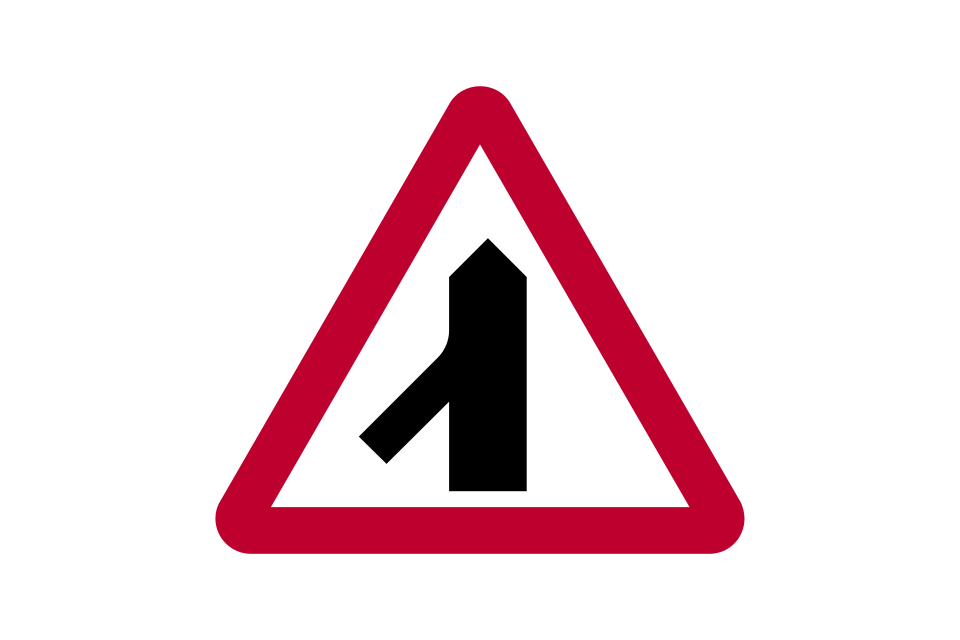
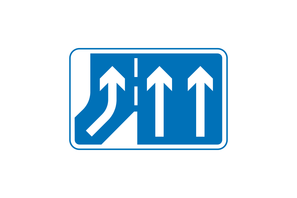
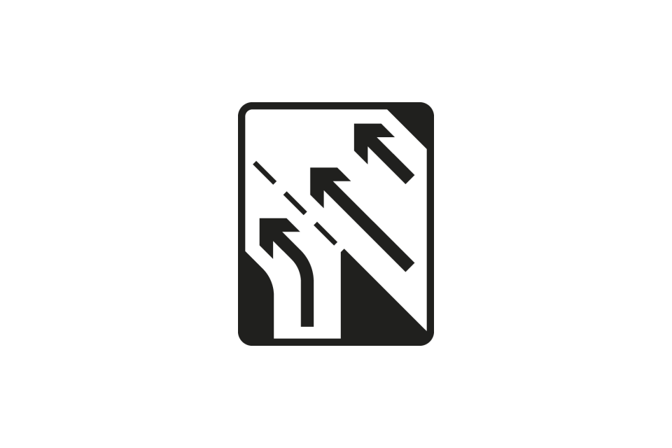
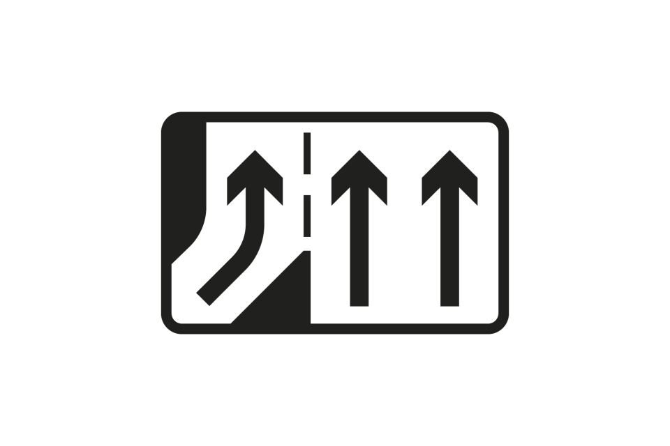
Traffic merges from the left
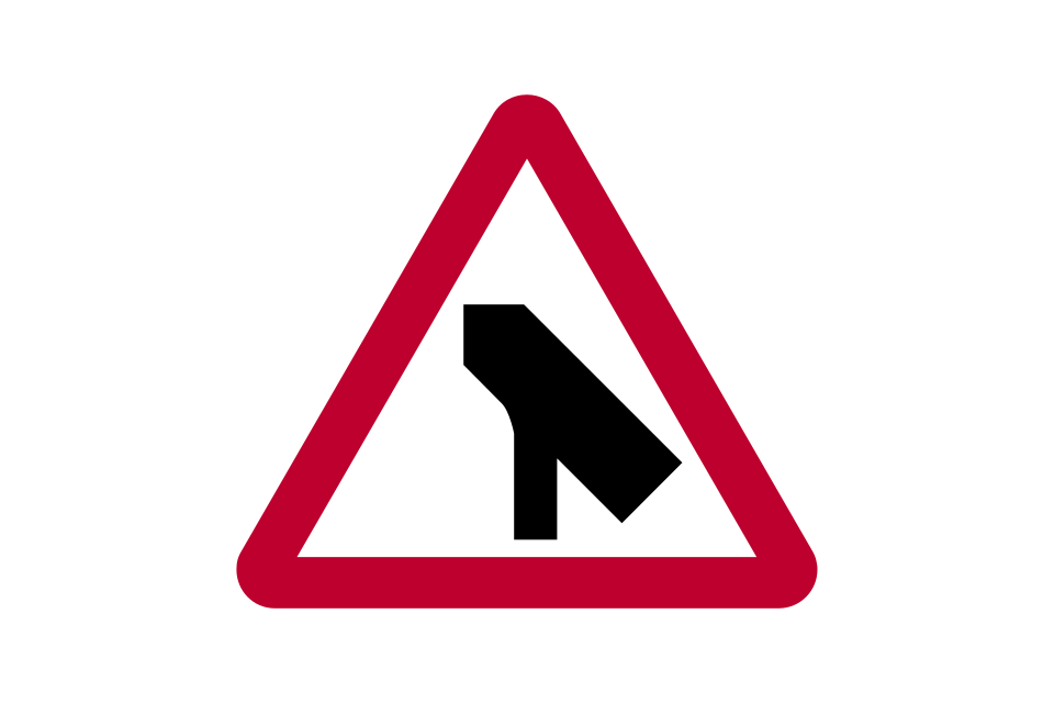
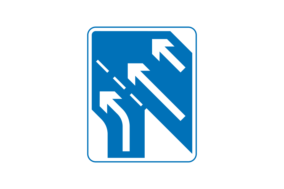
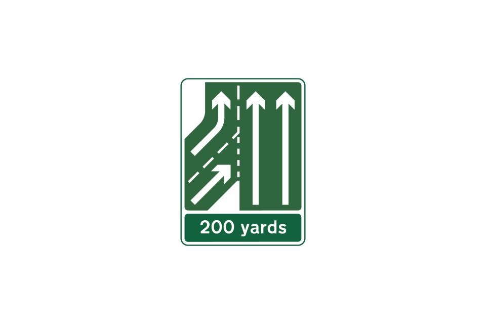
Traffic merges onto main carriageway
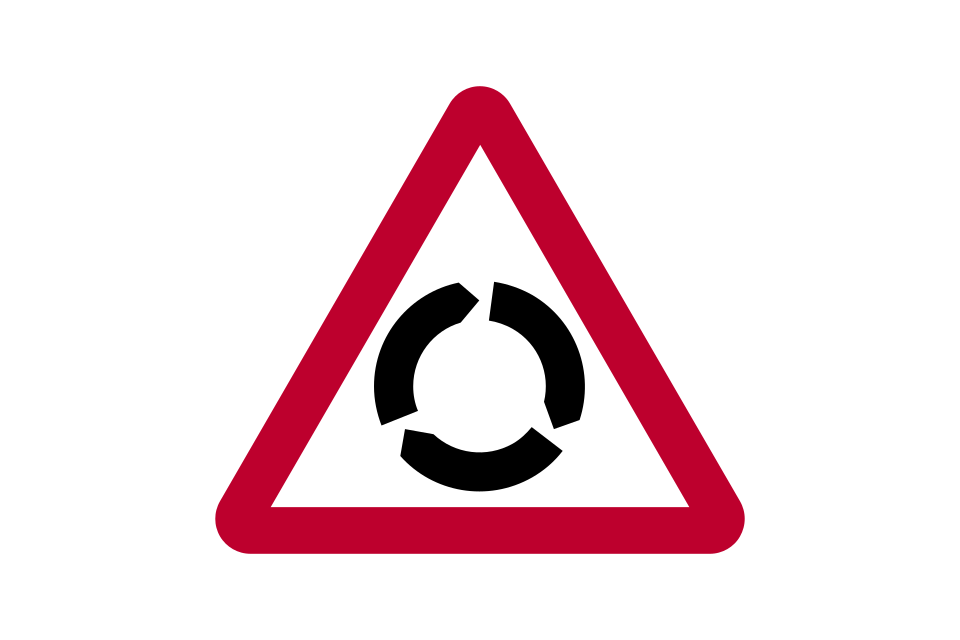
Roundabout
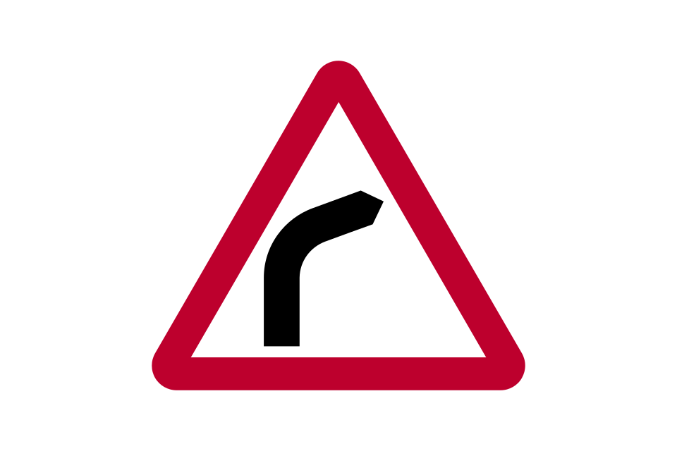
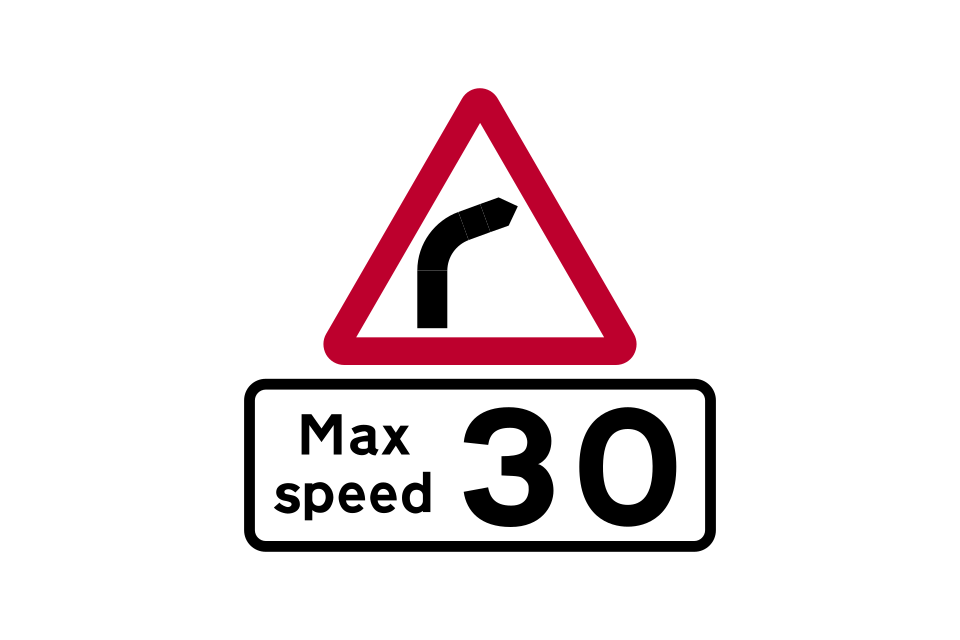
Bend to right (left if symbol reversed)
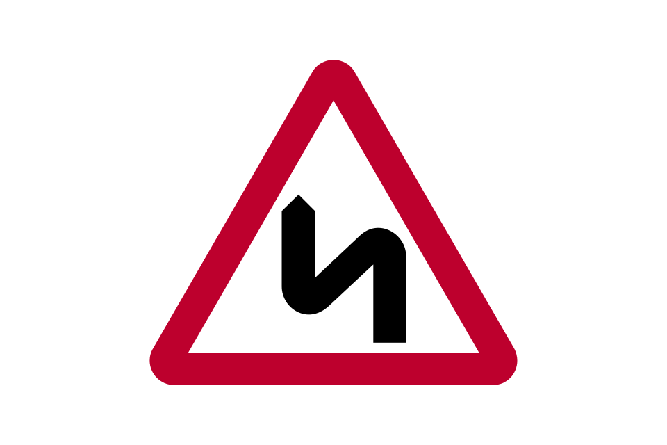
Double bend first to the left (right if symbol reversed)
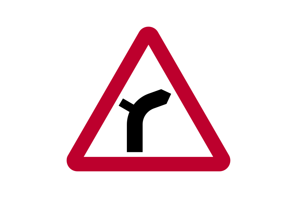
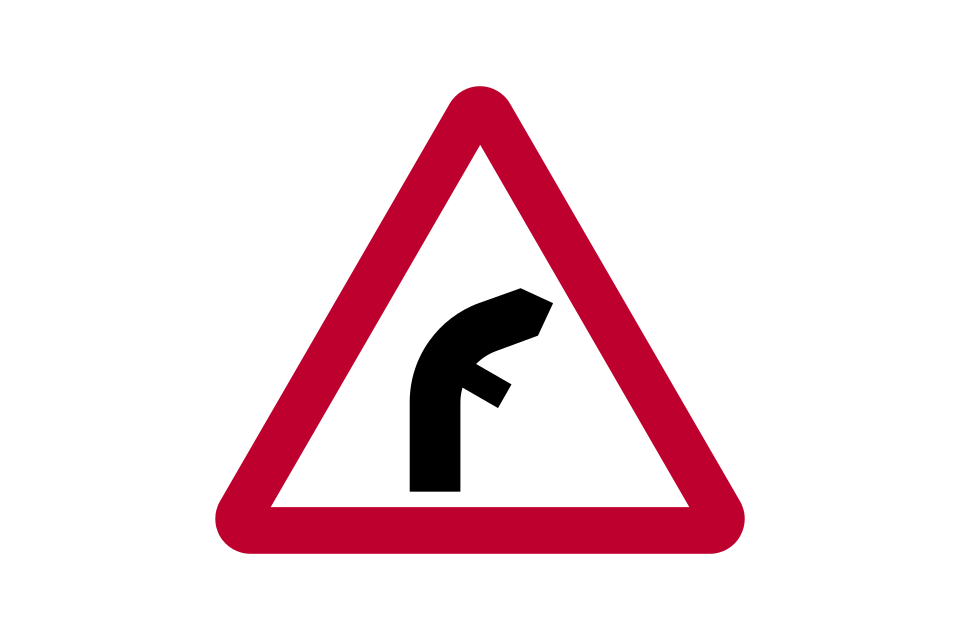
Junction on a bend (symbols may be reversed)
Plate used with ‘roundabout’ or ‘bend’ signs
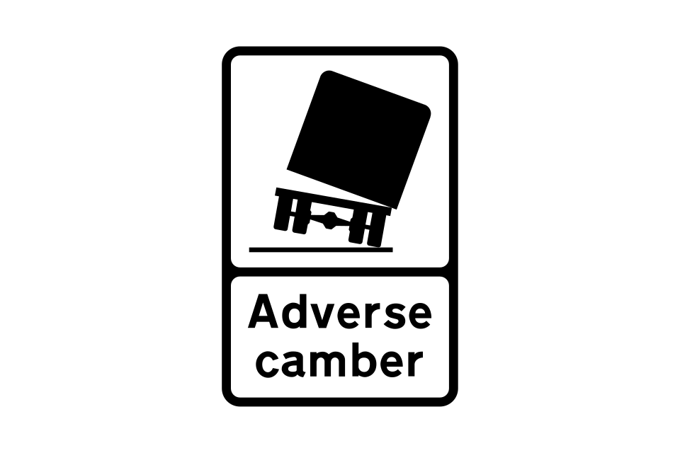
Risk of lorries overturning on bend to the left (right if symbol reversed)
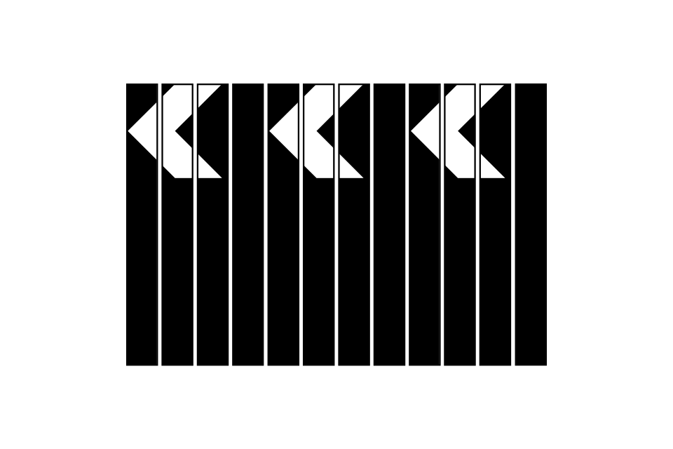
Sharp deviation of route to the left (right if chevrons reversed) (alternative designs)
Plate used with warning signs where a reduction in speed is necessary
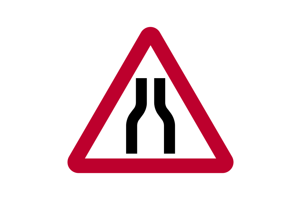
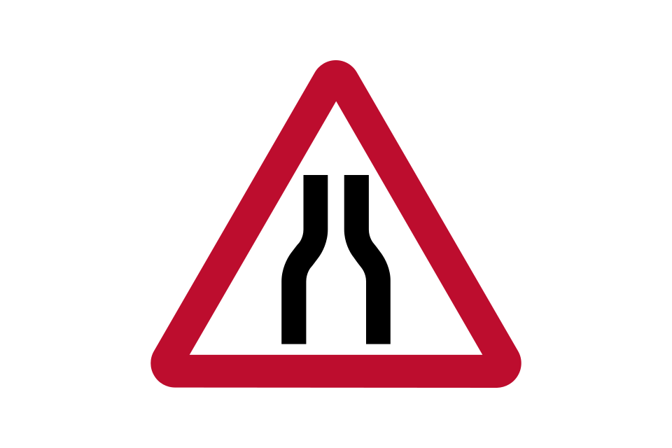
Road narrows on both sides
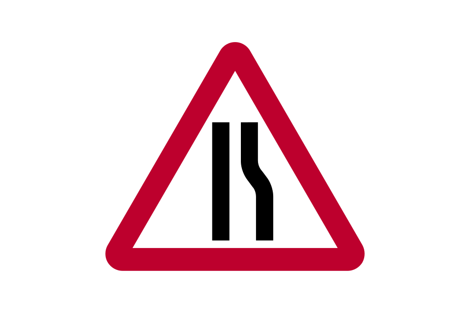
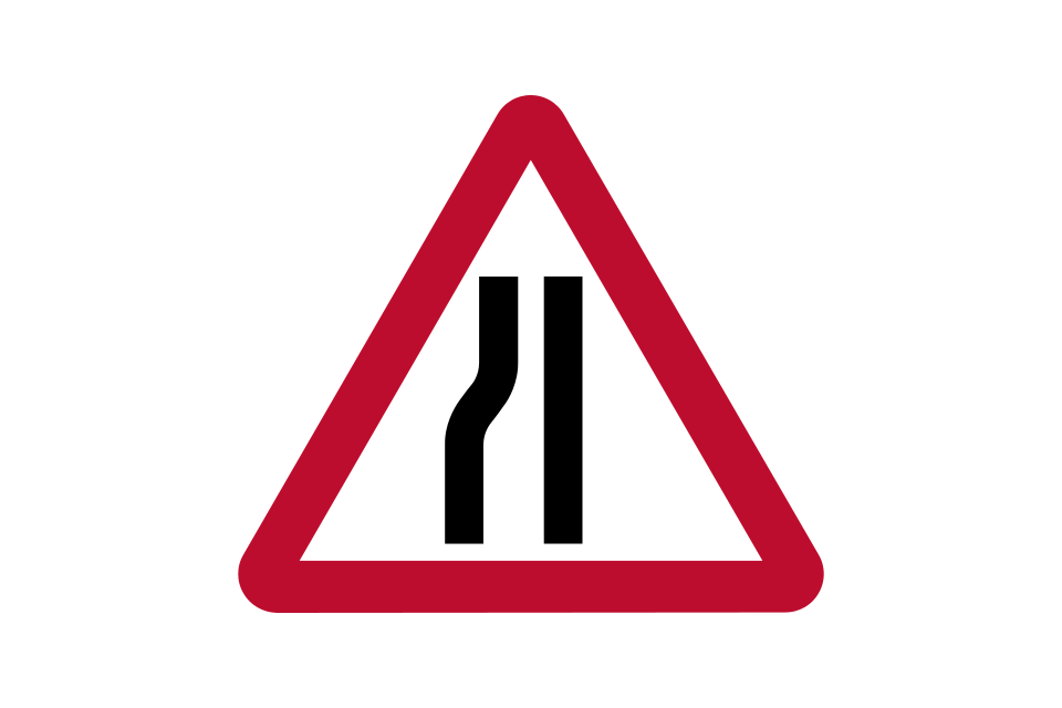
Road narrows on right (left if symbol reversed)
Near-side edge of carriageway or obstruction near that edge (alternative shapes)
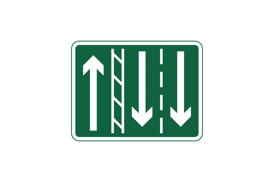
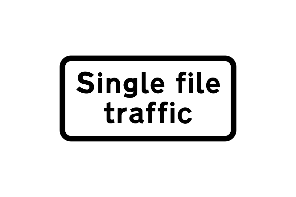
Single-file traffic in each direction
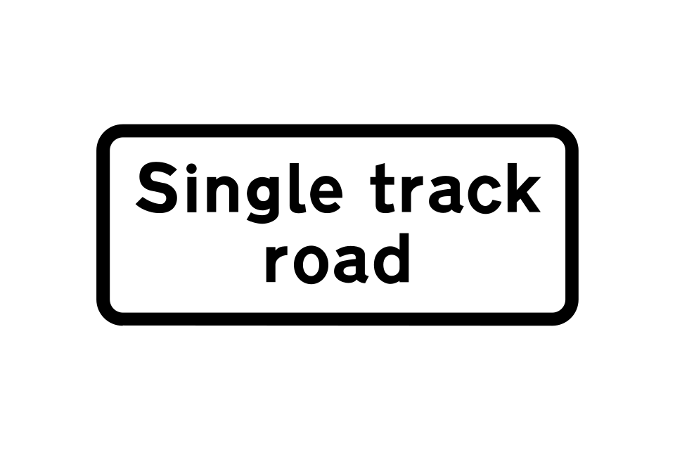
Road wide enough for only one line of vehicles
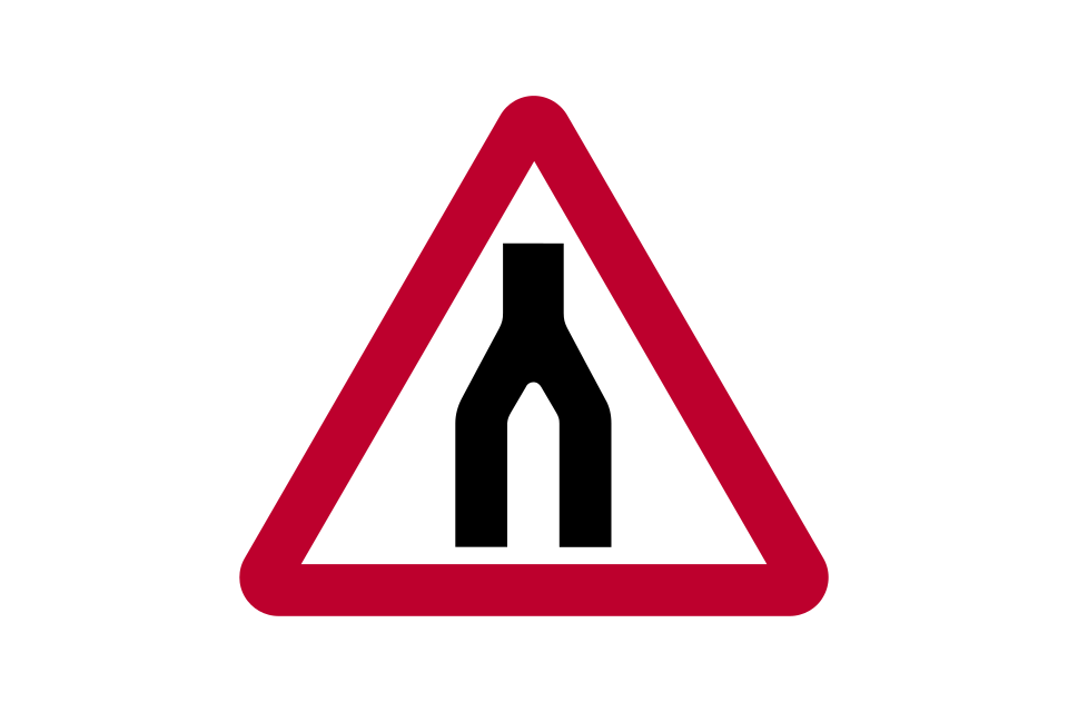
End of dual carriageway
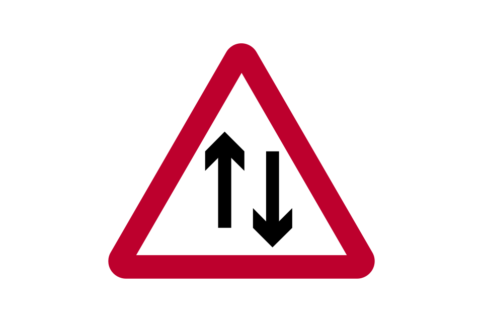
Two-way traffic
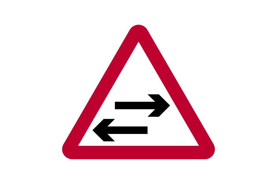
Two-way traffic on route crossing ahead
Near-side edge of carriageway or obstruction near that edge (alternative shapes)
Worded warning
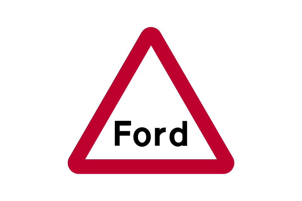
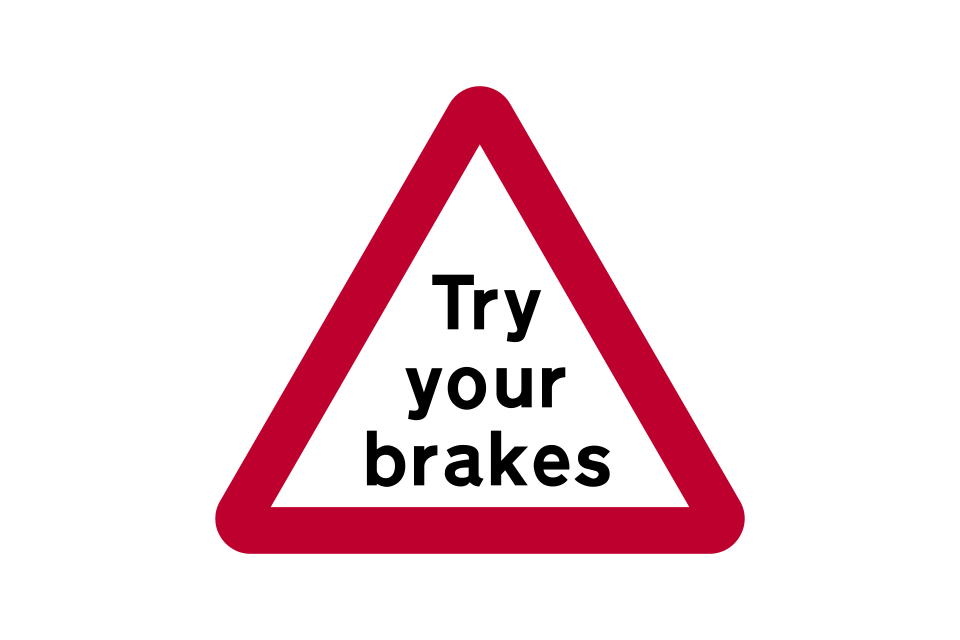
Try brakes after crossing a ford or before descending a steep hill
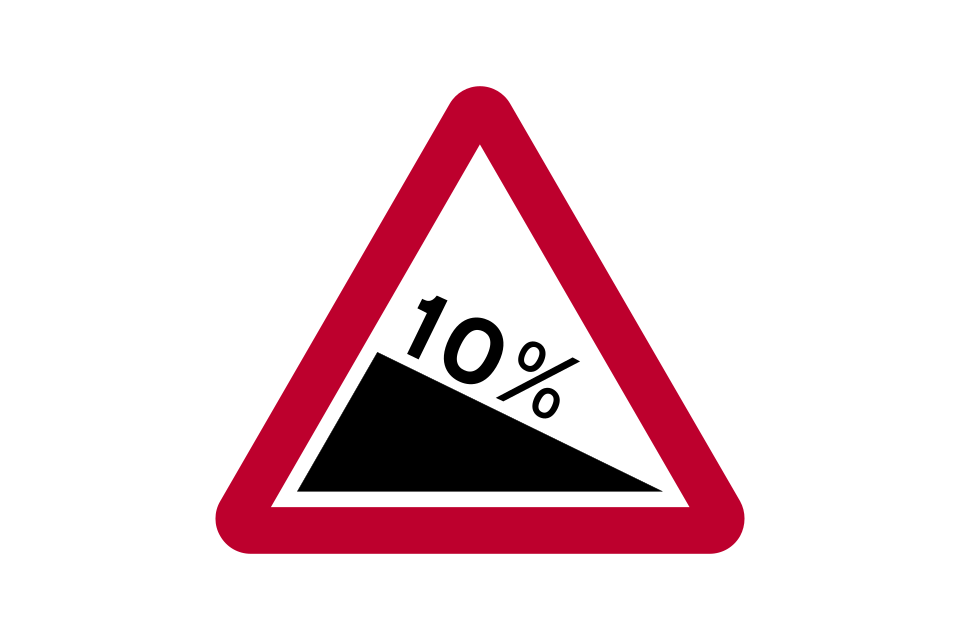
Steep hill downwards (10% is equivalent to 1:10)
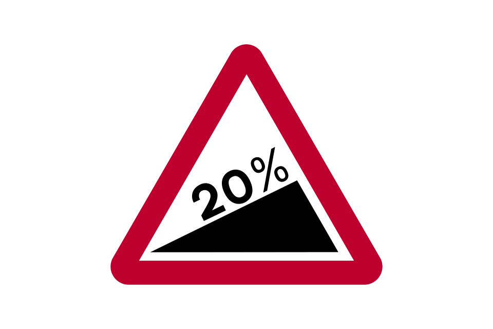
Steep hill upwards (20% is equivalent to 1:5)
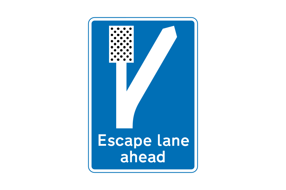
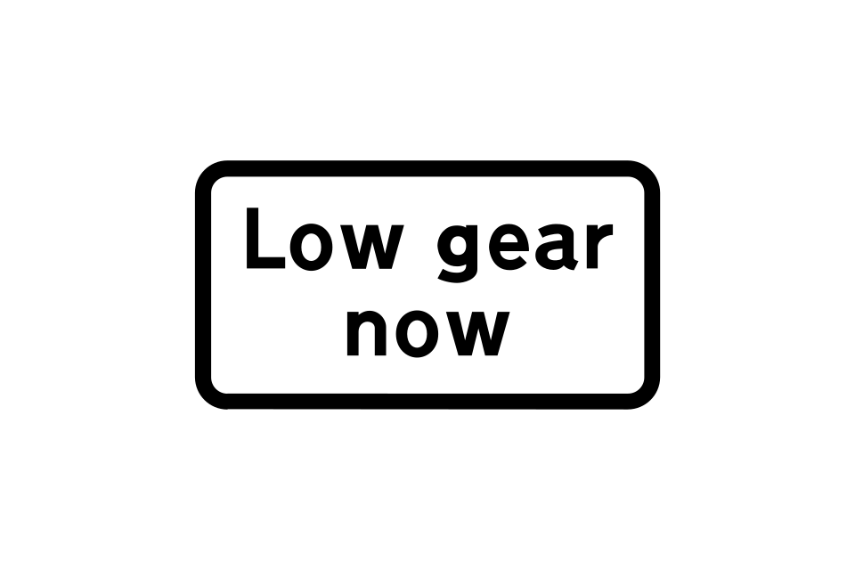
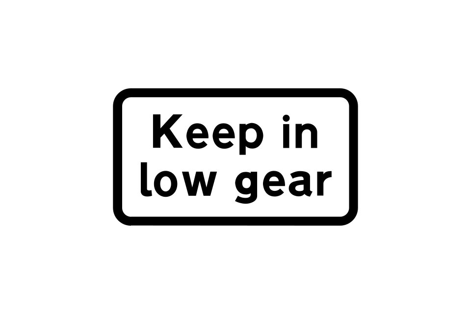
Sign used with ‘steep hill’ or ‘try your brakes’ signs
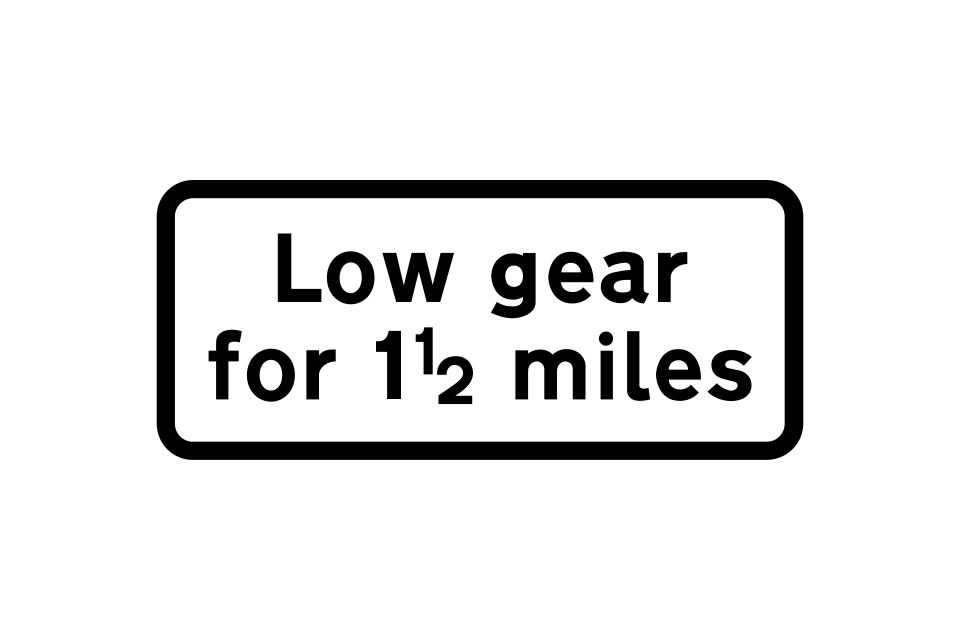
Plates used with ‘steep hill’ signs
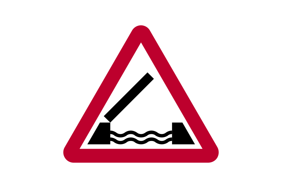
Opening or swing bridge
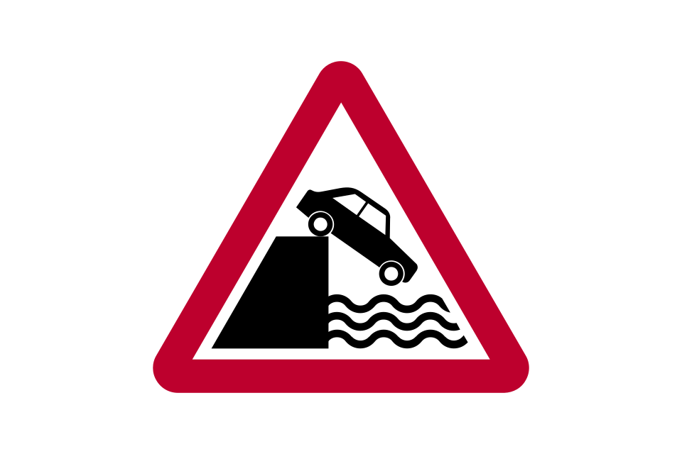
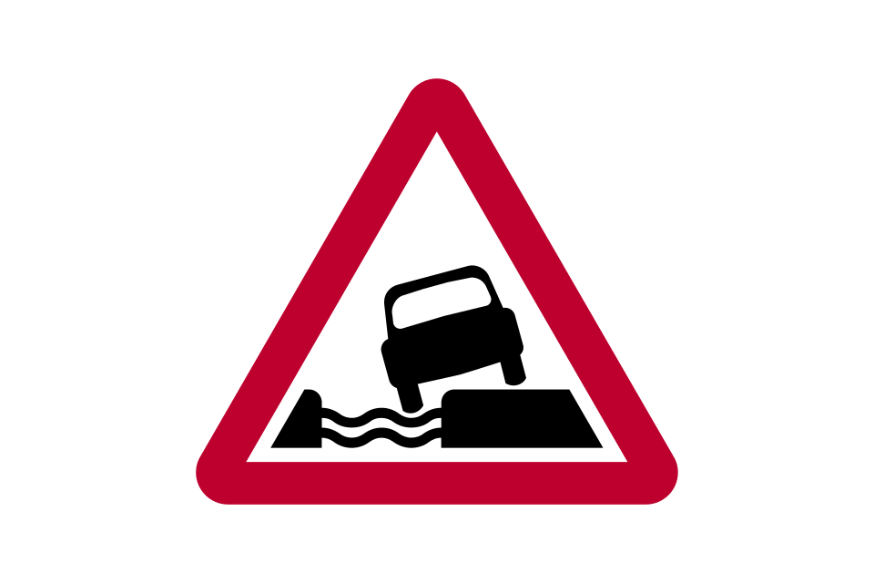
Quayside or river bank
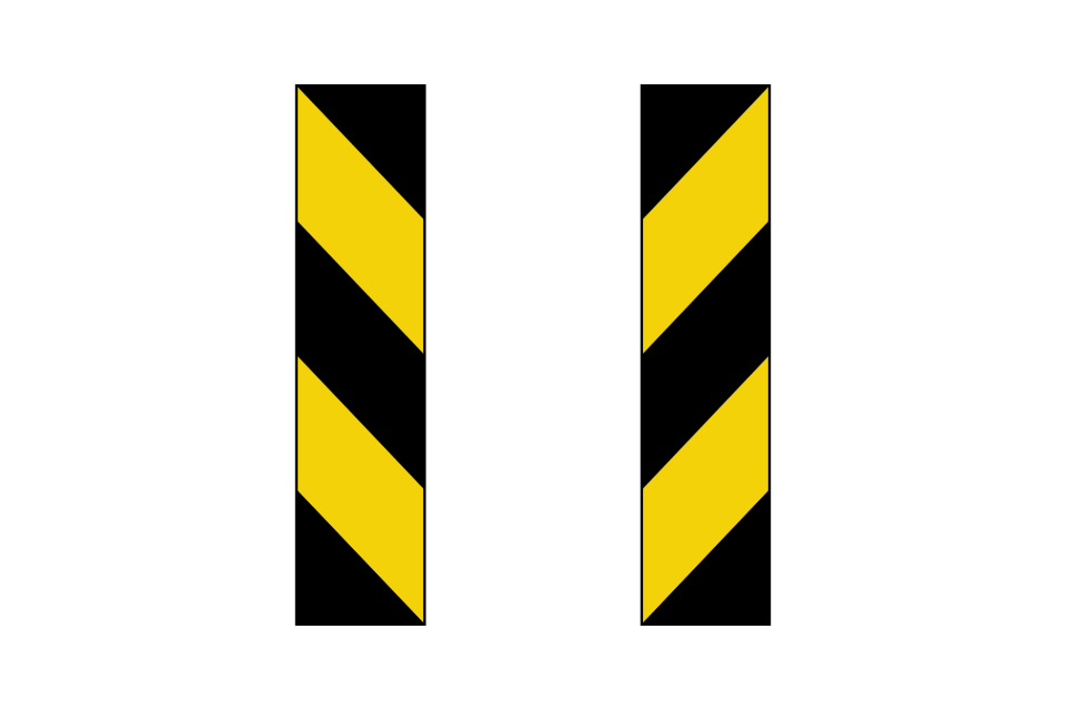
End of bridge parapet, abutment wall, tunnel mouth etc
Water course alongside road
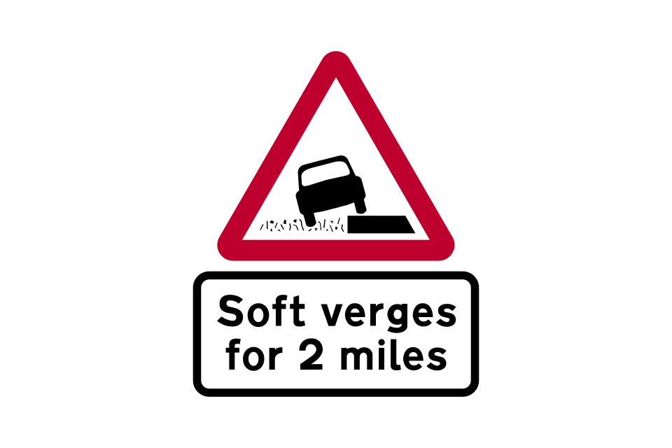
Soft verges for distance shown
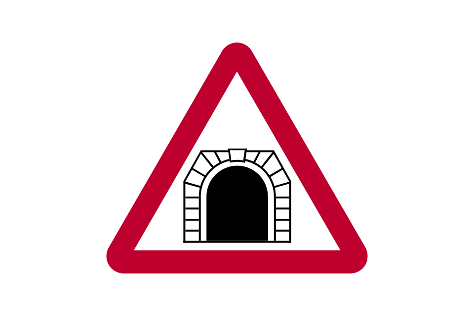
Tunnel
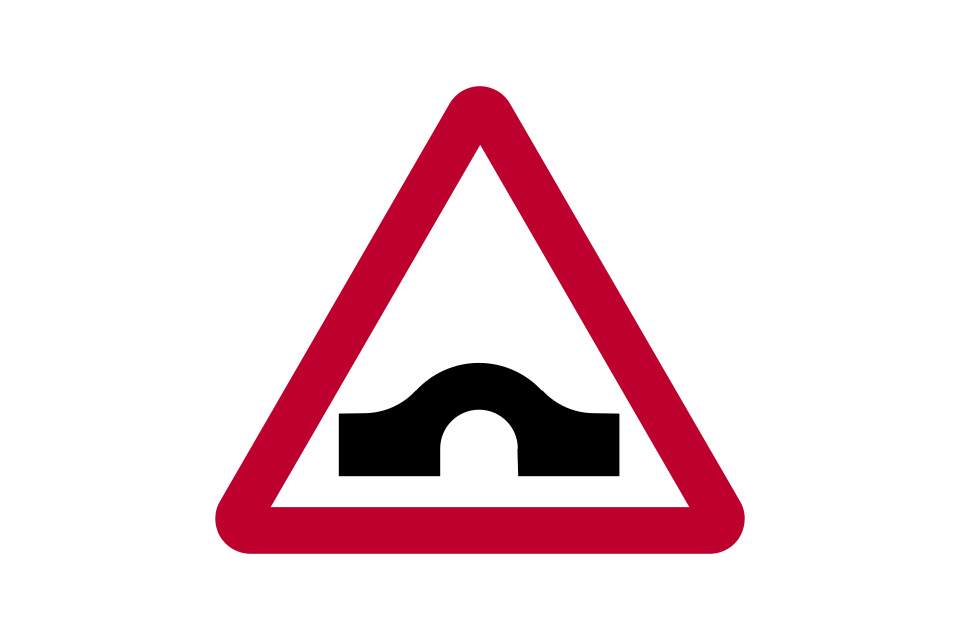
Hump bridge
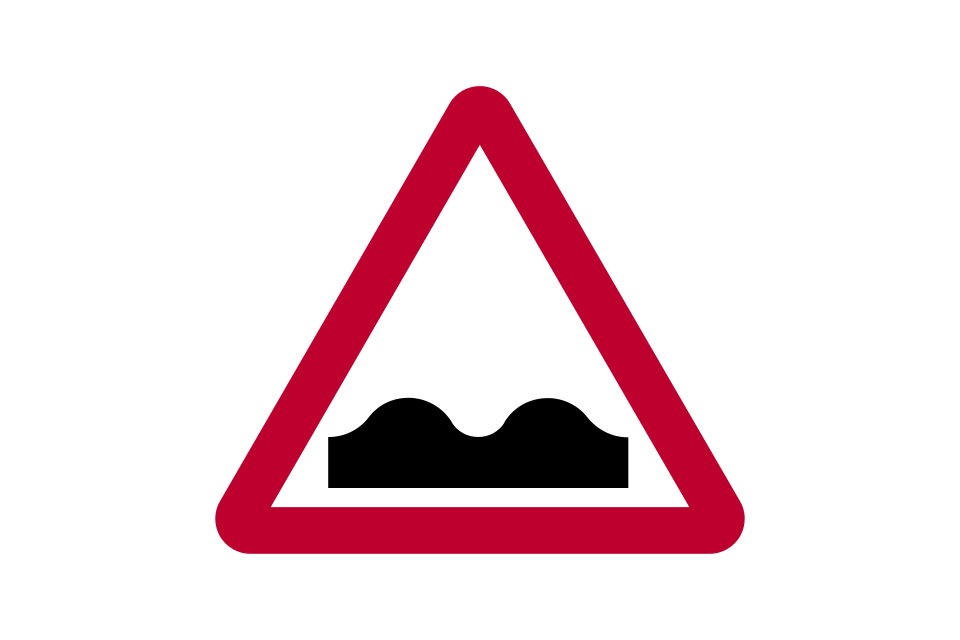
Uneven road
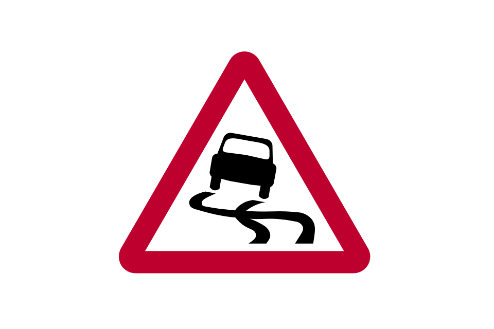
Slippery road
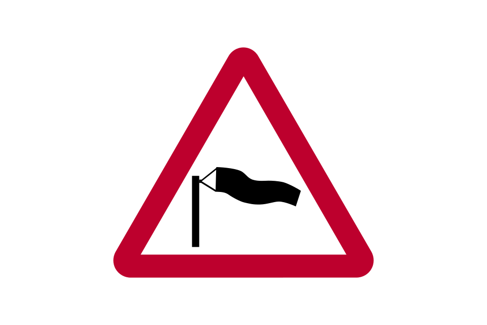
Side winds
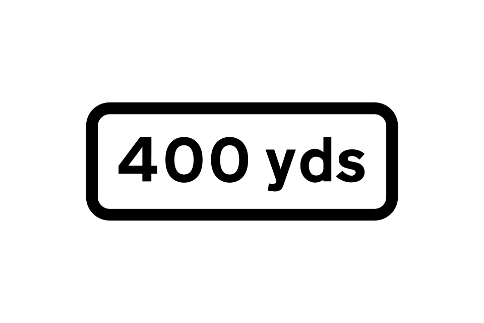
Distance to hazard
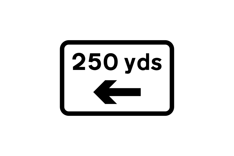
Distance and direction to hazard
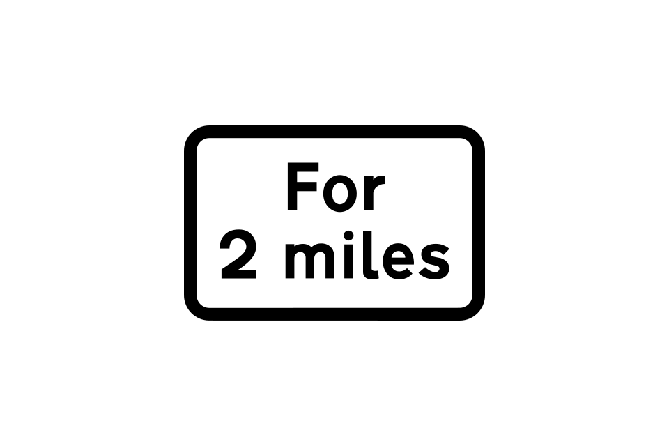
Distance over which hazard extends
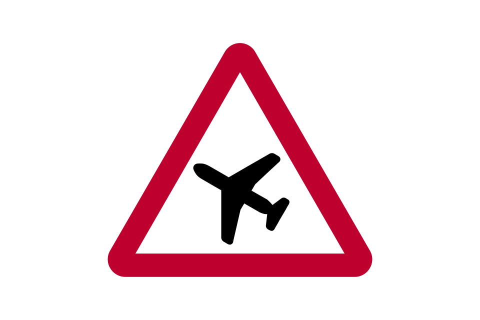
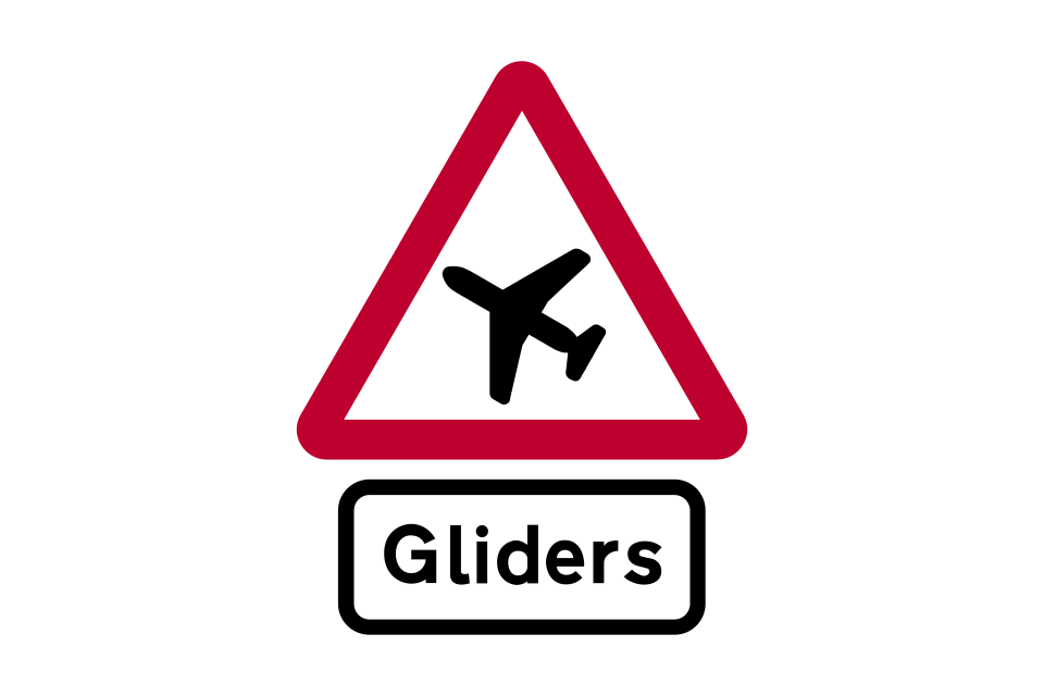
Low-flying aircraft or sudden aircraft noise
Gliders likely
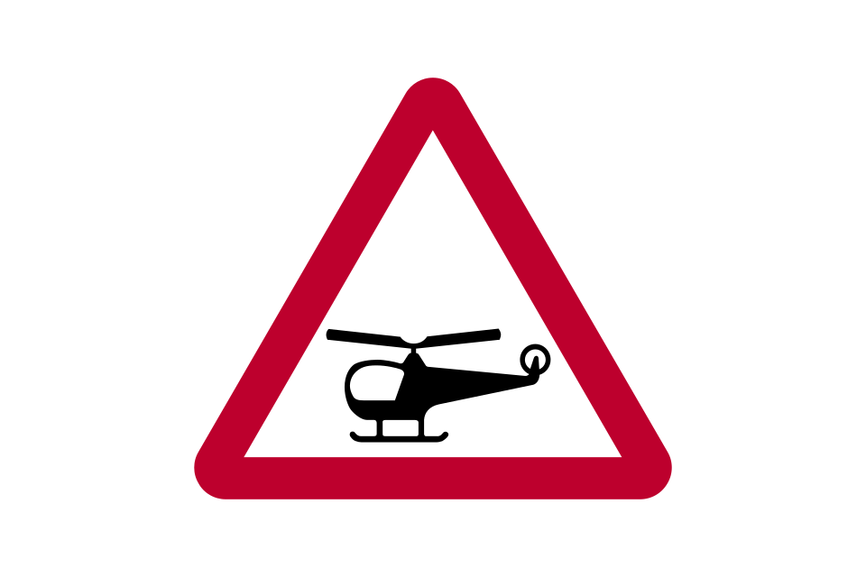
Low-flying helicopters or sudden helicopter noise
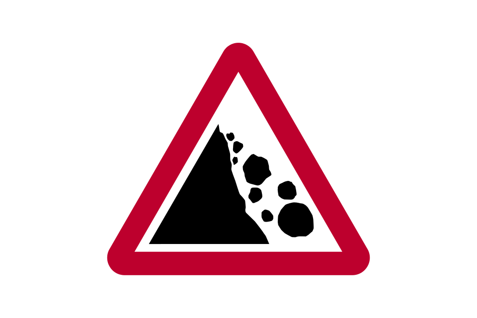
Risk of falling or fallen rocks
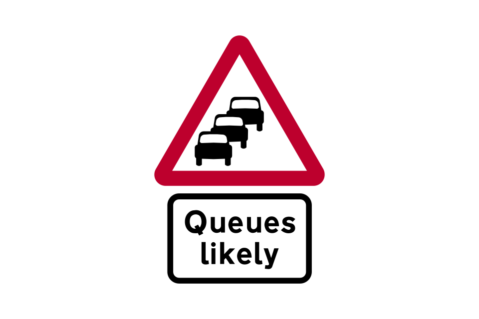
Traffic queues likely ahead
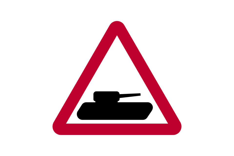
Slow-moving military vehicles likely to be in or crossing the road
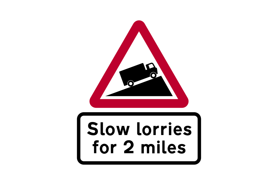
Slow-moving vehicles for distance shown
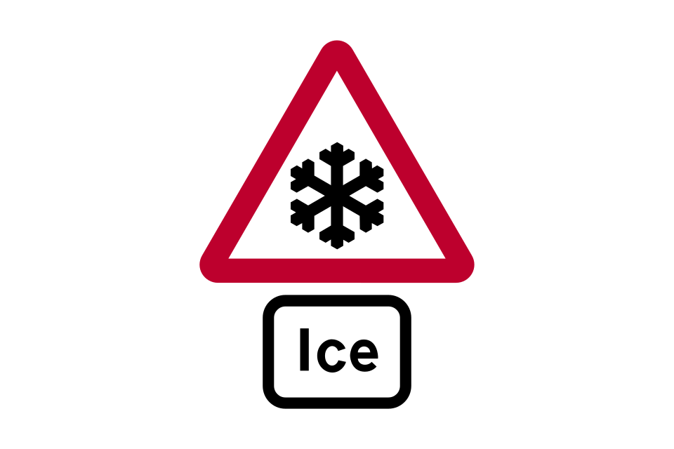
Risk of ice
Warning of signals
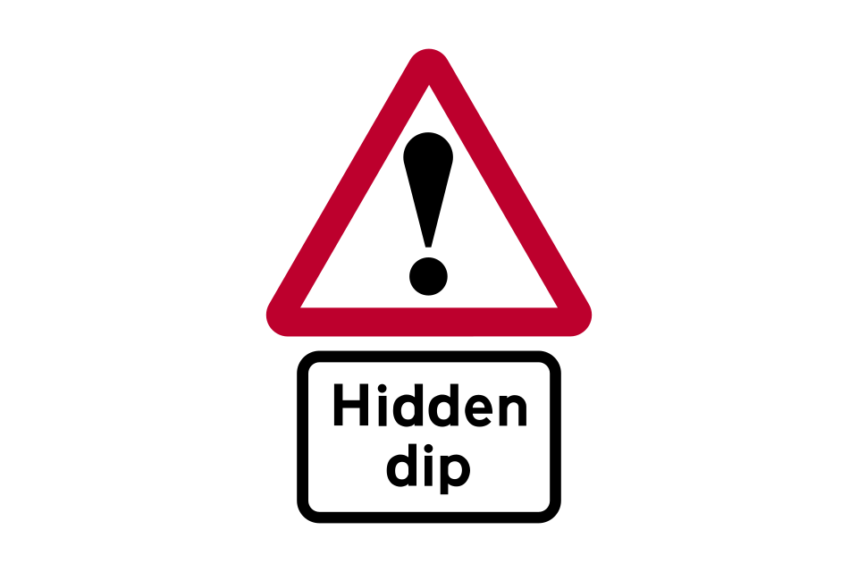
Other danger
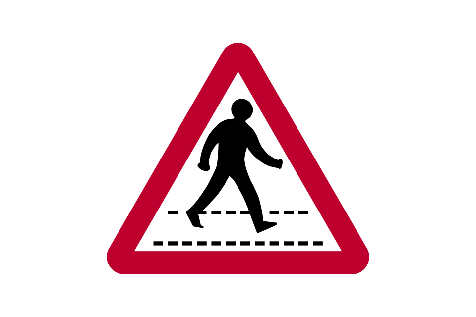
Zebra or parallel crossing
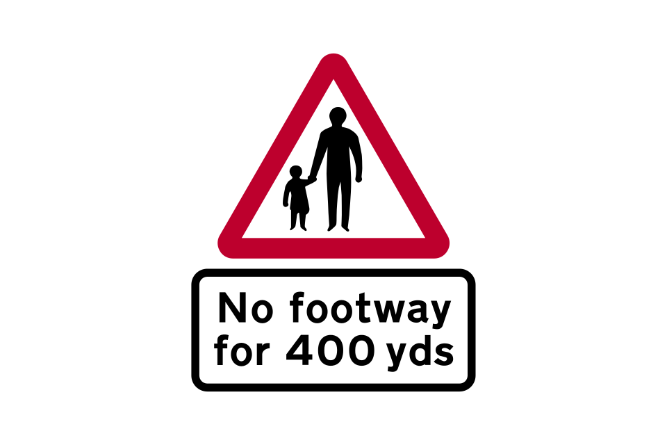
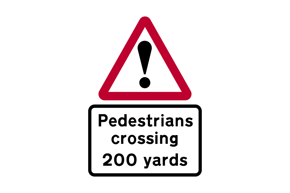
Pedestrians in road for distance shown
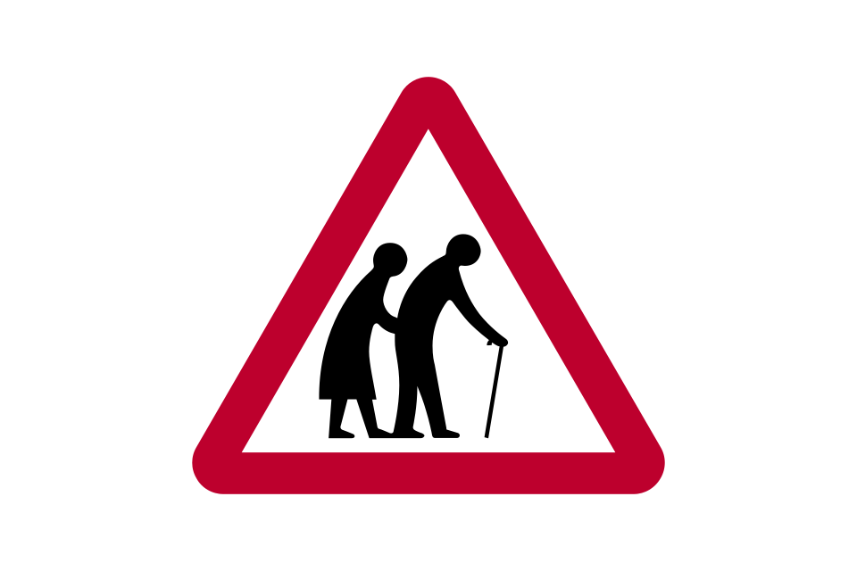
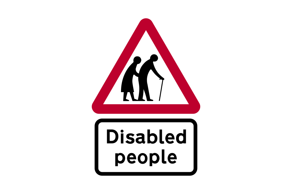
Frail pedestrians likely to cross
Disabled pedestrians
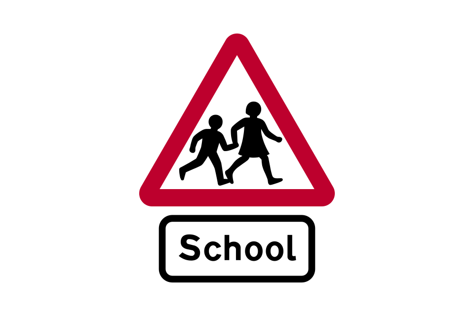
Children going to or from school
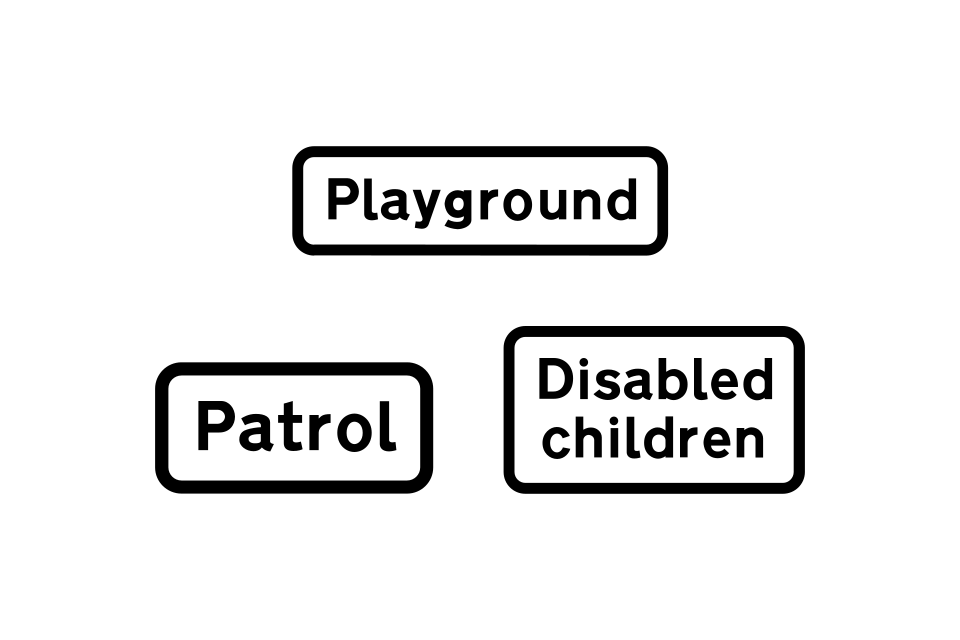
Alternative plates used with ‘school’ sign
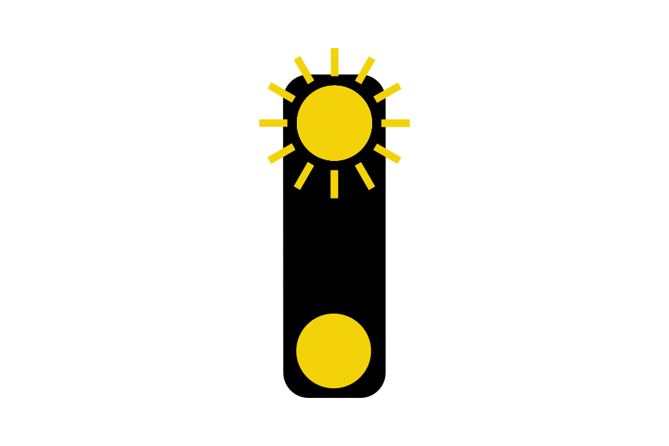
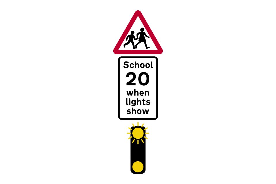
Lights warning of children likely to be crossing the road on their way to or from school (used with ‘school’ sign)
Pedestrians likely to be crossing a high-speed road where there is no formal crossing point
Part-time advisory 20 mph speed limit at or near a school
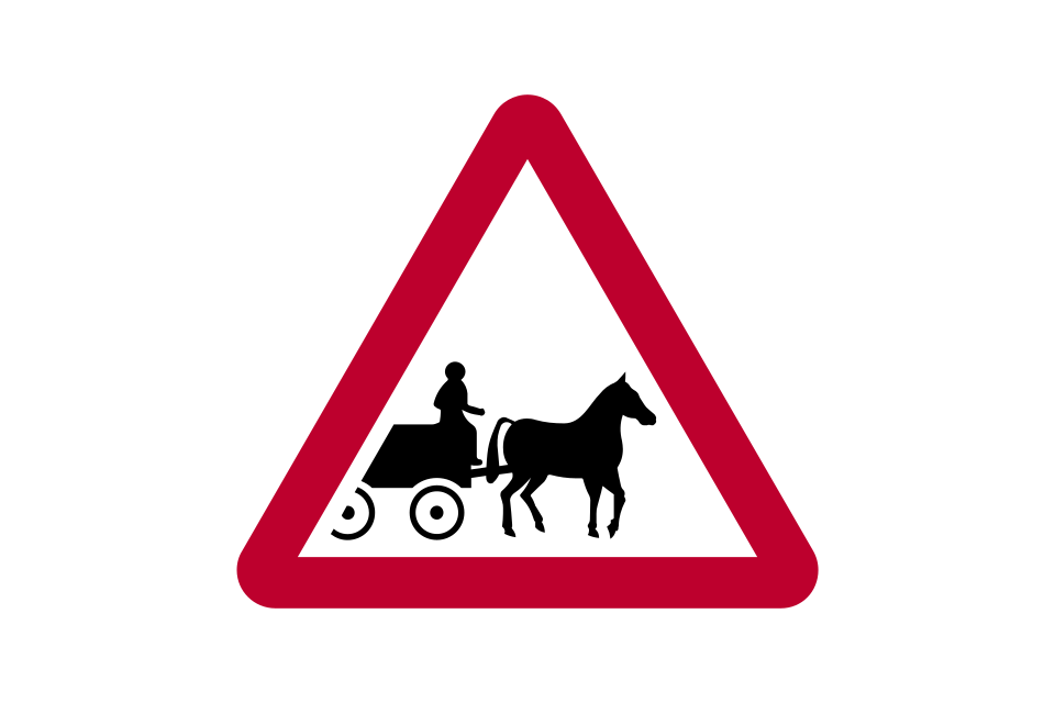
Horse-drawn vehicles likely to be in the road
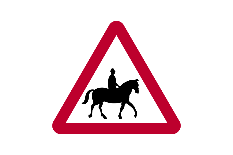
Accompanied horses or ponies likely to be in or crossing the road
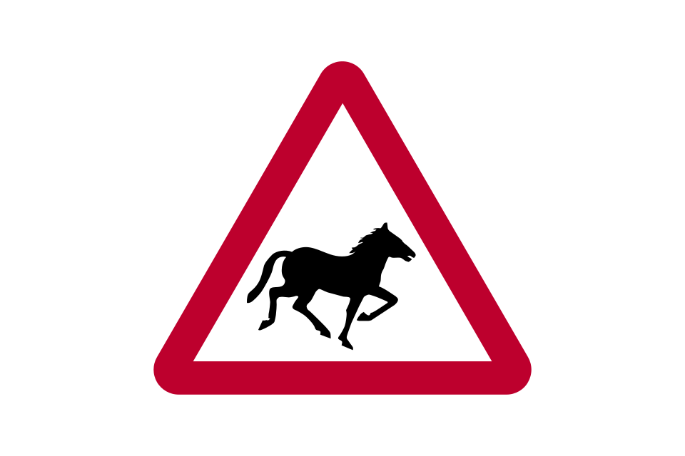
Wild horses or ponies
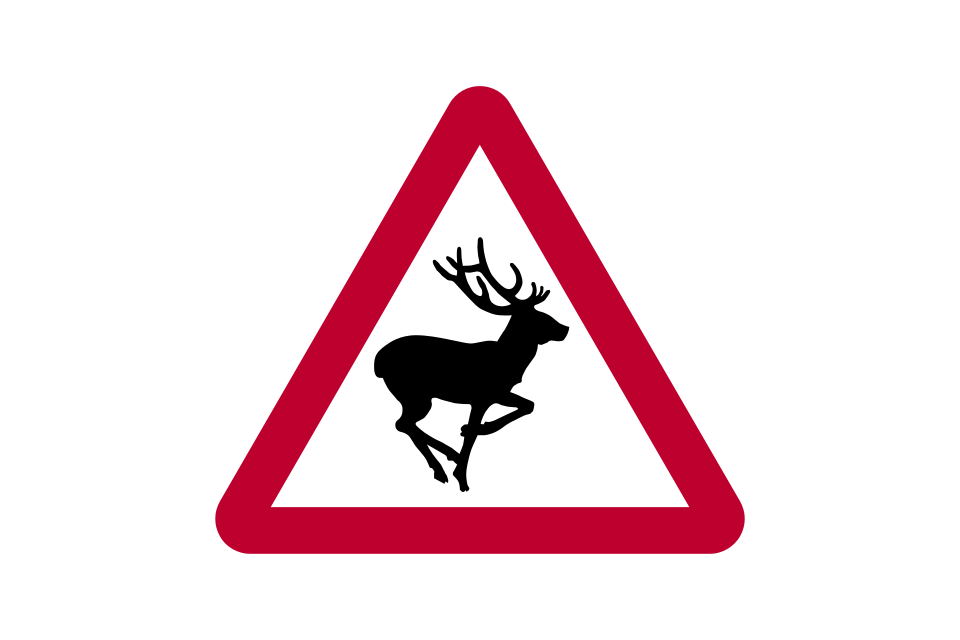
Wild animals
Small wild animals
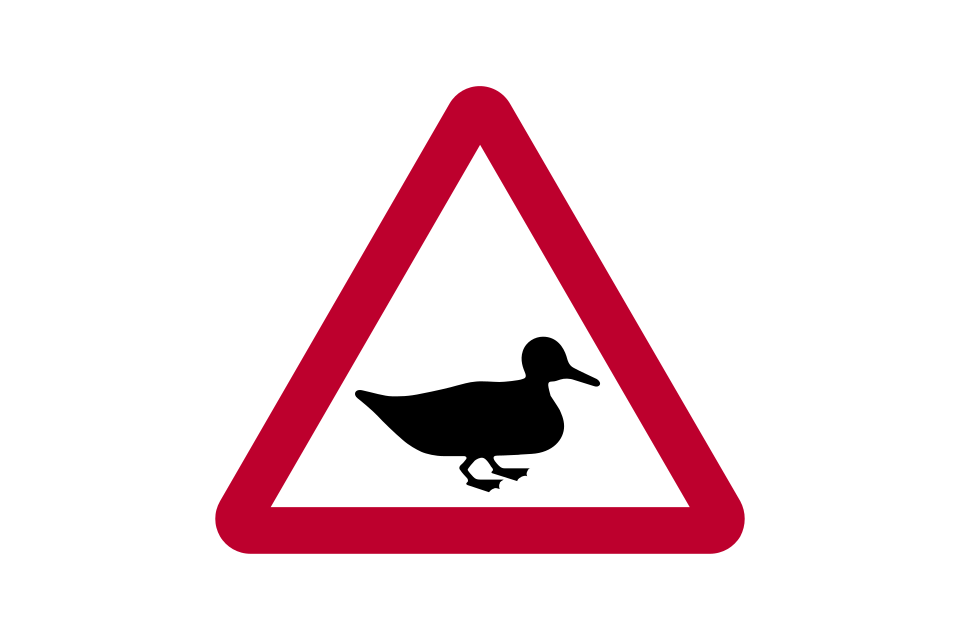
Wild fowl
Migratory toad crossing
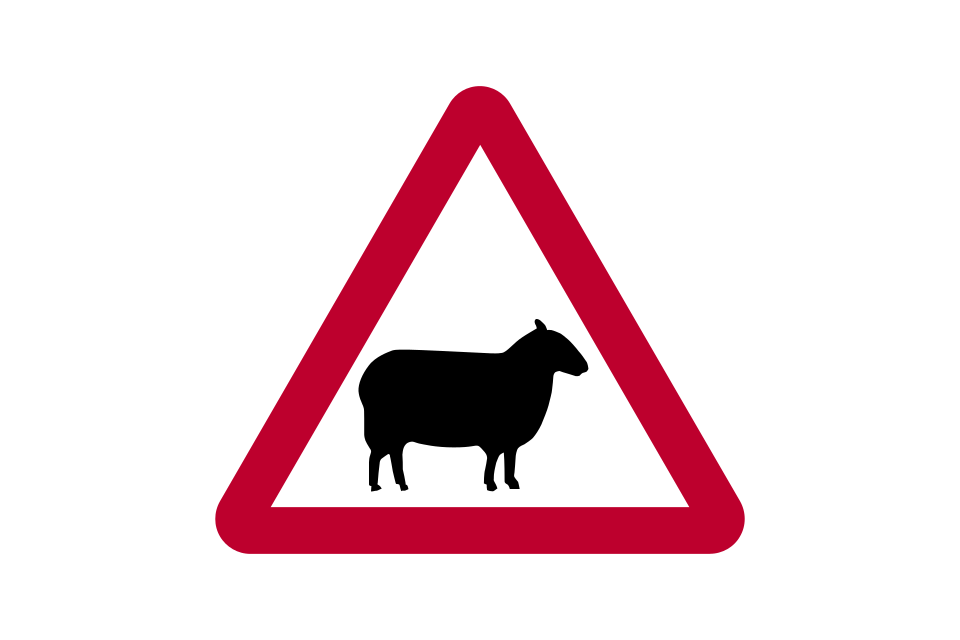
Sheep
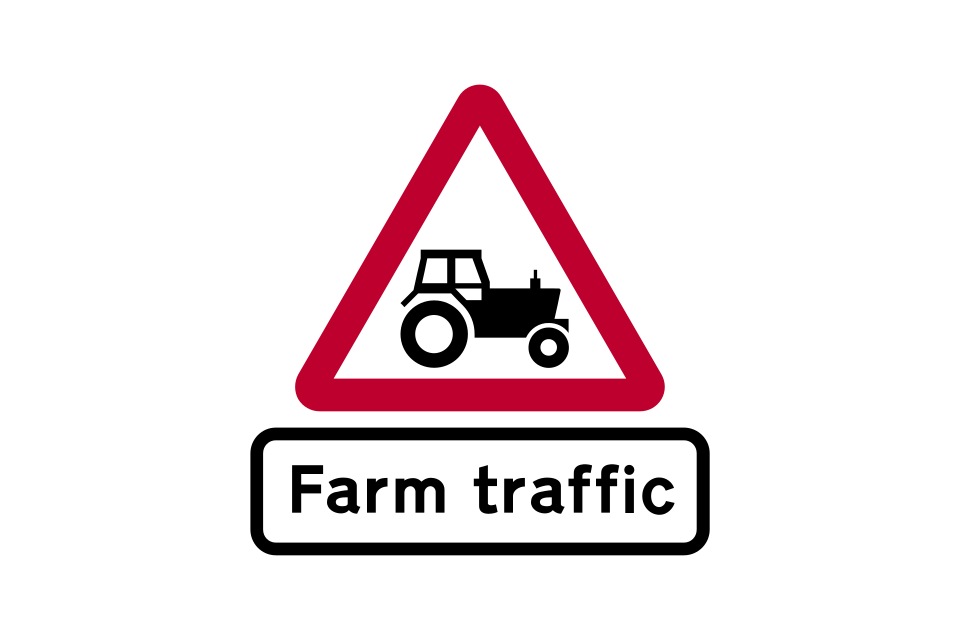
Agricultural vehicles
Area infected by animal disease
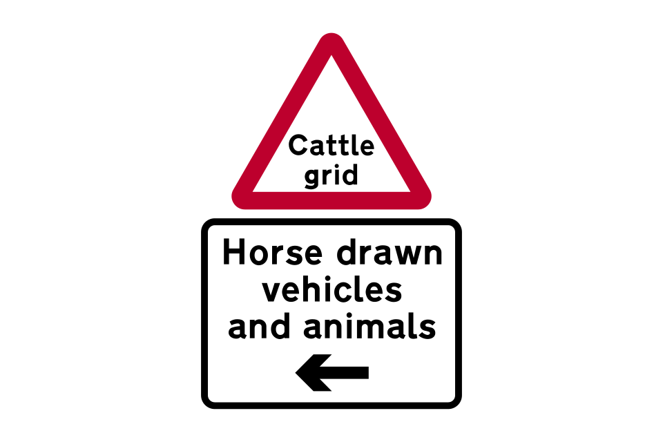
Cattle grid with indication of bypass for horse-drawn vehicles and animals
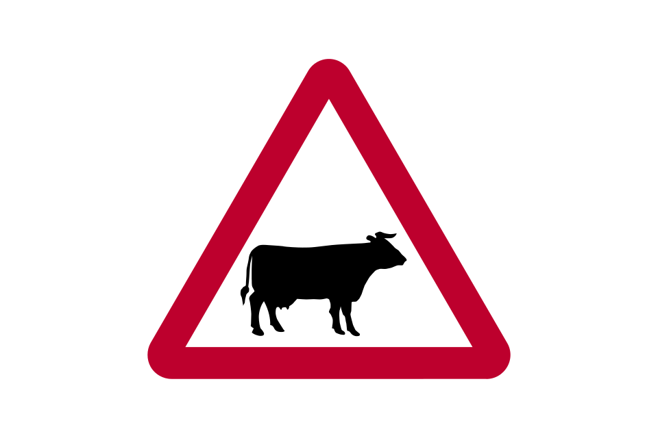
Cattle
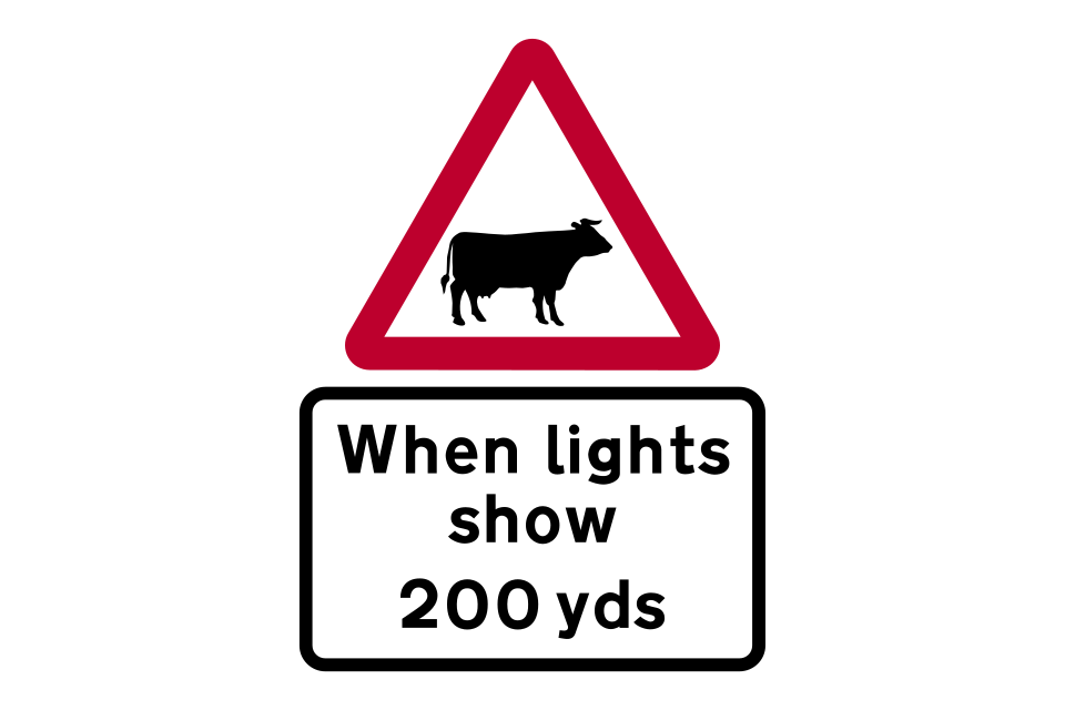
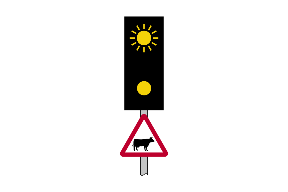
Supervised cattle crossing ahead
Supervised cattle crossing
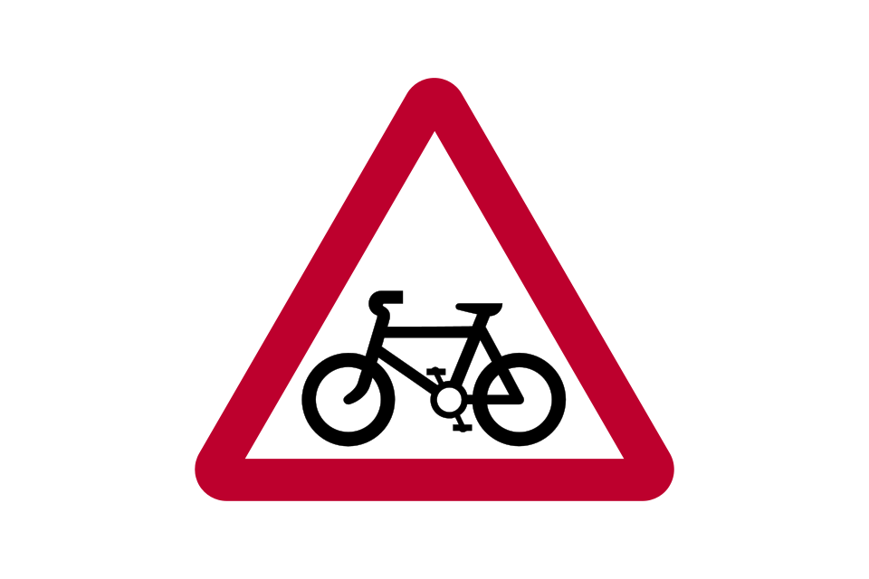
Pedal cycle route crossing or joining the road ahead
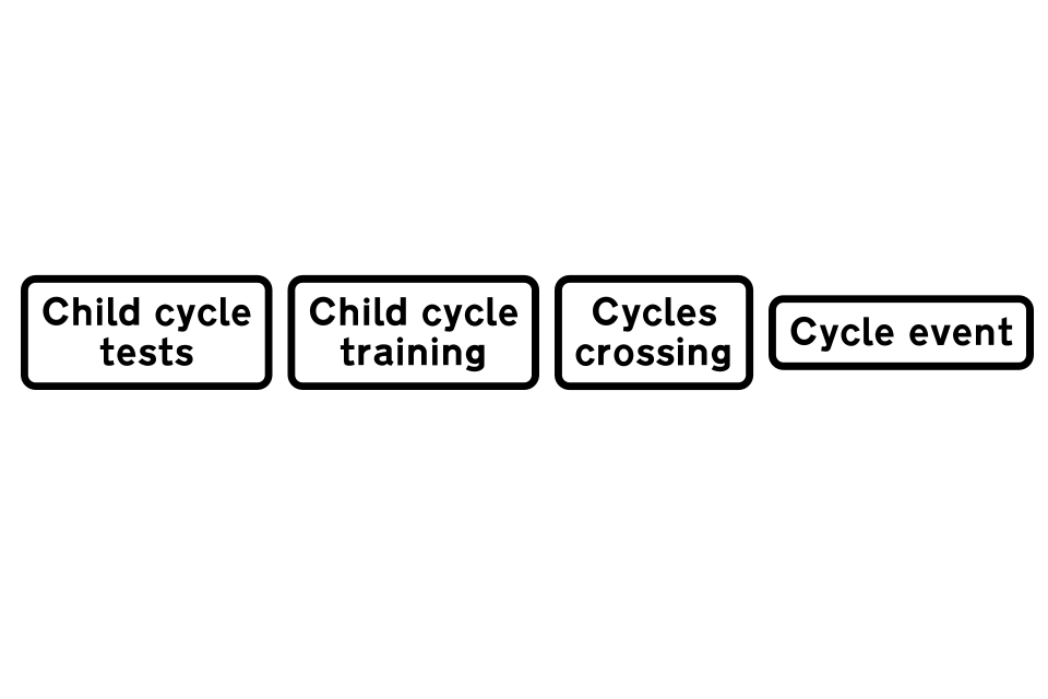
Plates used with ‘cycle route ahead’ sign
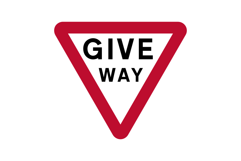
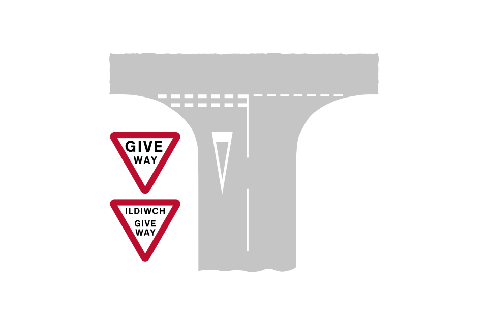
The ‘GIVE WAY’ sign and road markings: you must give way to traffic on the major road (the upright sign or both the sign and the triangle on the road might not be used at junctions where there is relatively little traffic)
(alternative in Wales)
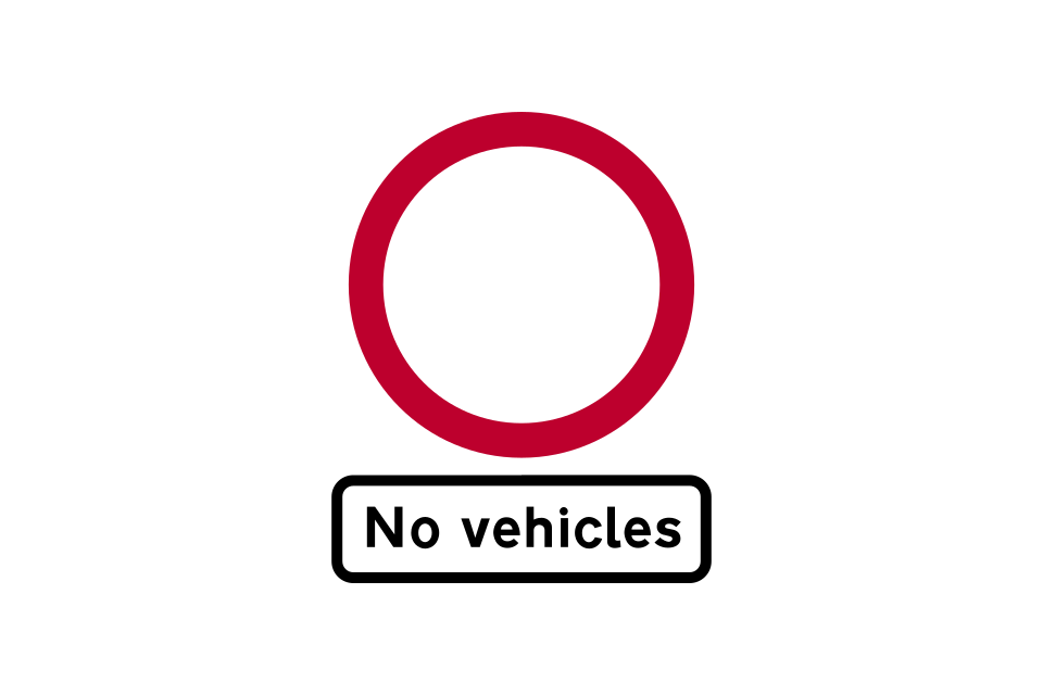
No entry for vehicular traffic
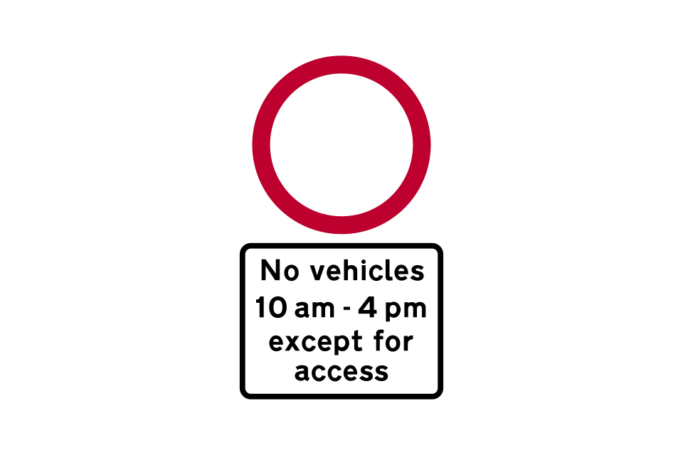
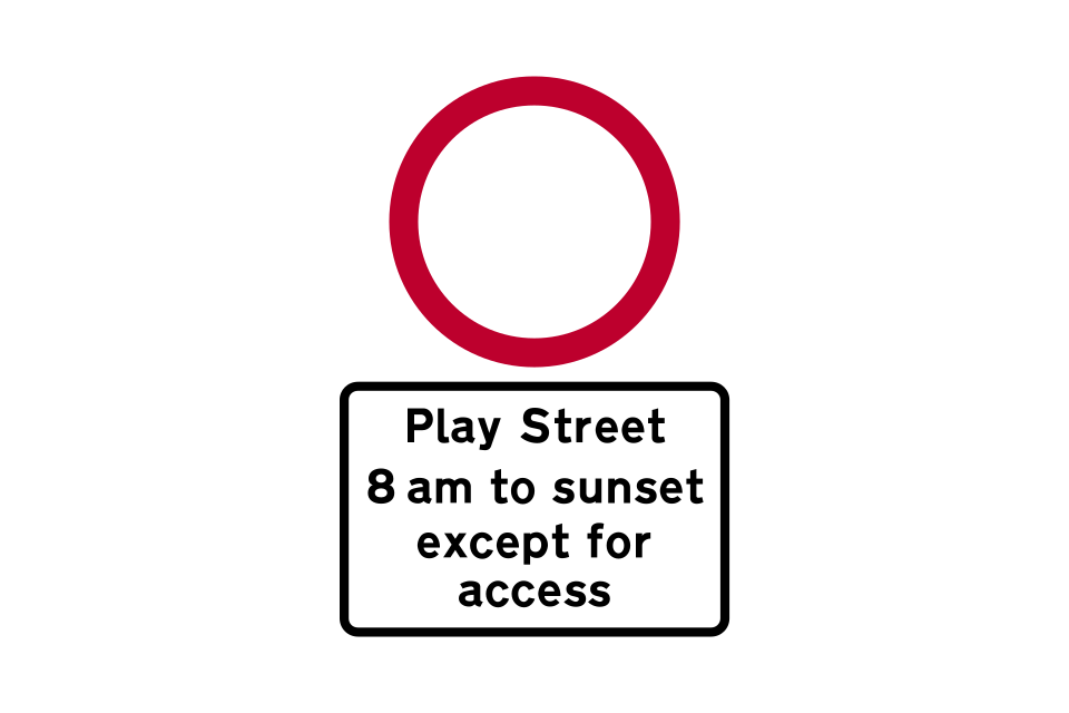
Alternative plates used with the ‘no vehicles’ sign, indicating times when vehicles are prohibited, except for access
No vehicles except pedal cycles being pushed by hand
Alternative plates used with the ‘no vehicles’ sign, indicating times when vehicles are prohibited, except for access
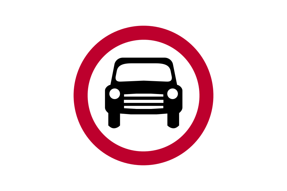
No motor vehicles
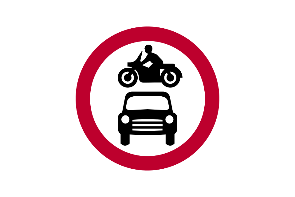
No motor vehicles except solo motorcycles
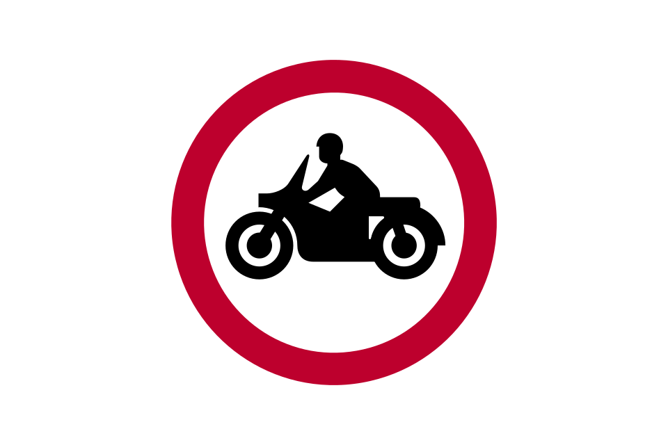
No solo motorcycles
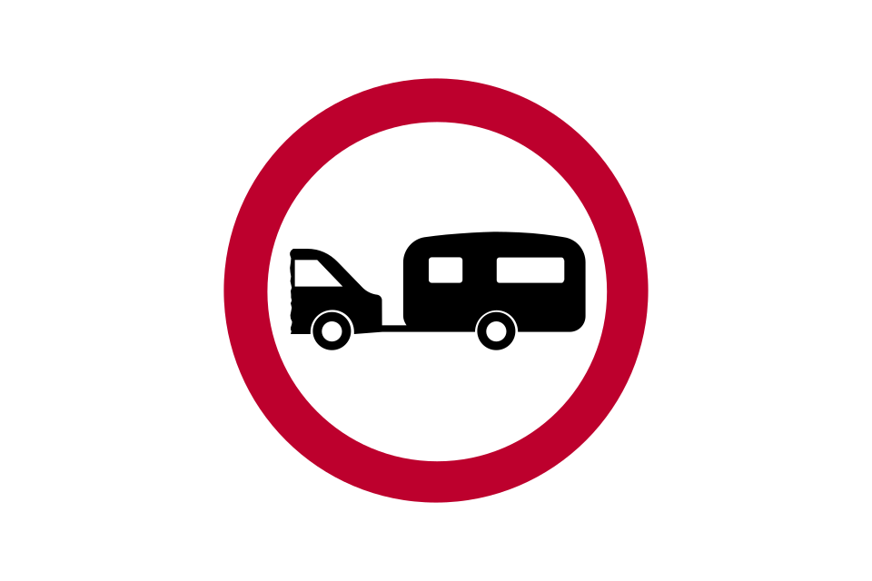
No towed caravans
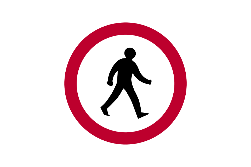
No pedestrians
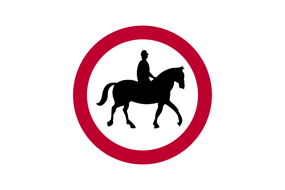
No ridden or accompanied horses
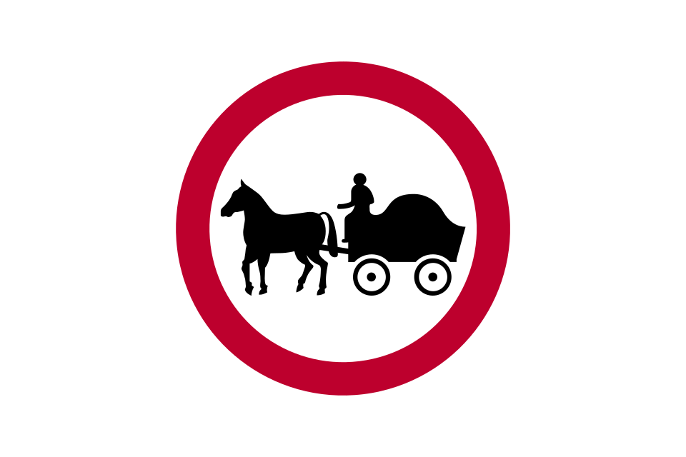
No horse-drawn vehicles
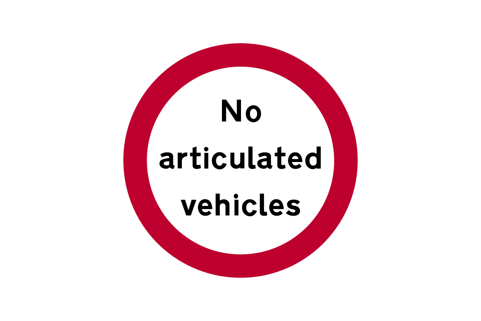
No articulated vehicles
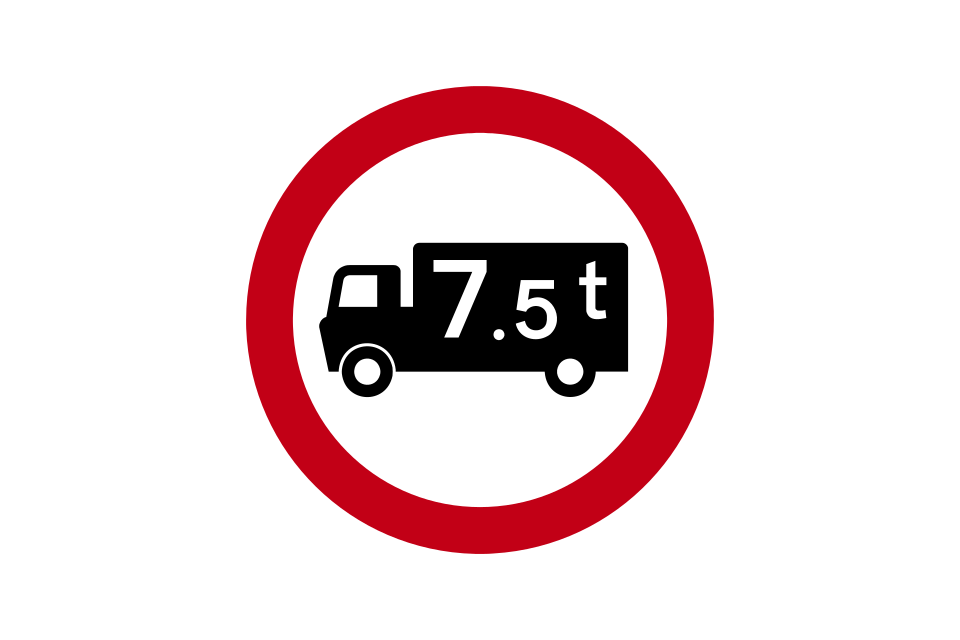
No goods vehicles over maximum gross weight shown in tonnes
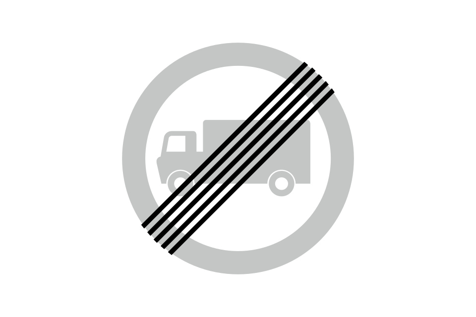
End of goods vehicles restriction
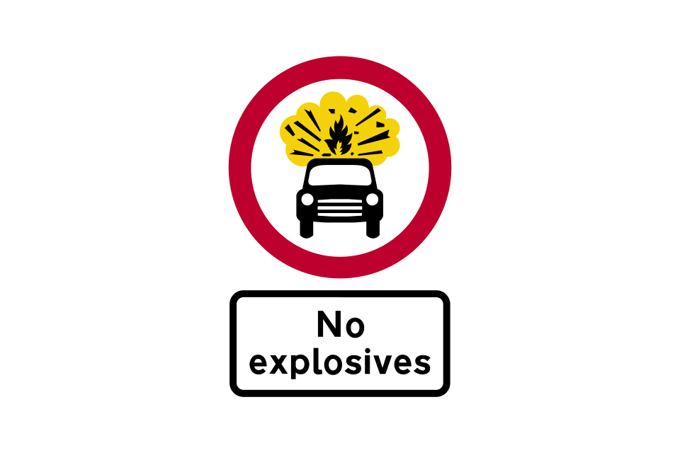
No vehicles carrying explosives
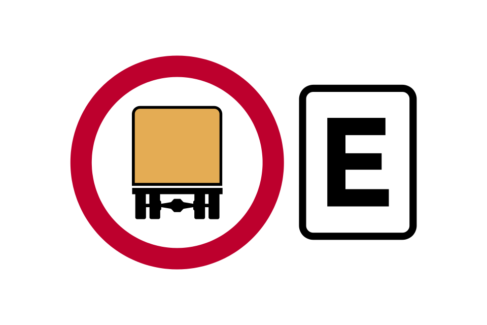
Vehicles carrying dangerous goods with the restriction code indicated by the sign are prohibited from the tunnel
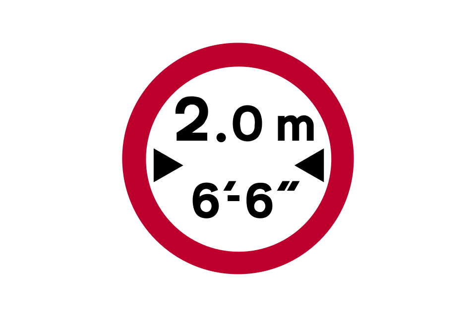
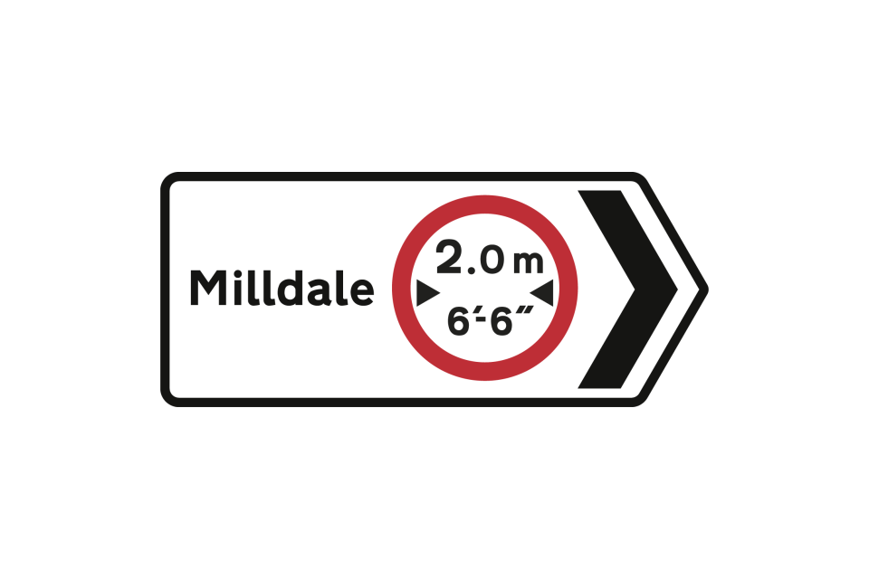
No vehicles over maximum width shown (width shown in metric and imperial units)
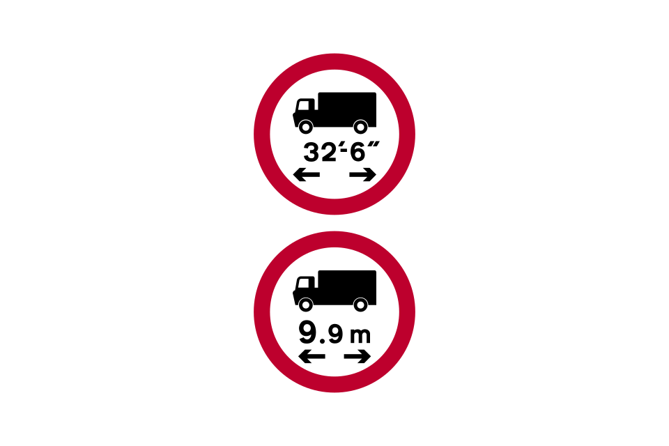
No vehicles or combinations of vehicles over maximum length shown
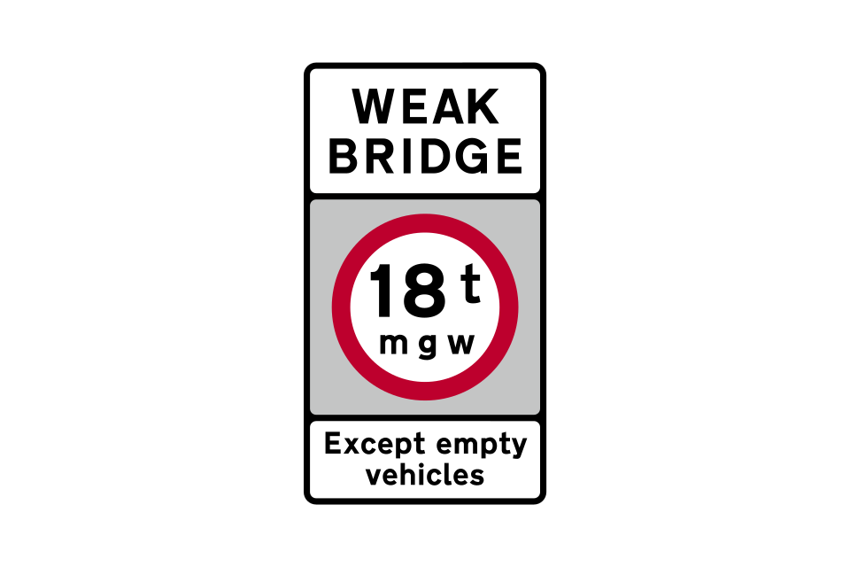
No vehicles over the maximum gross weight shown in tonnes
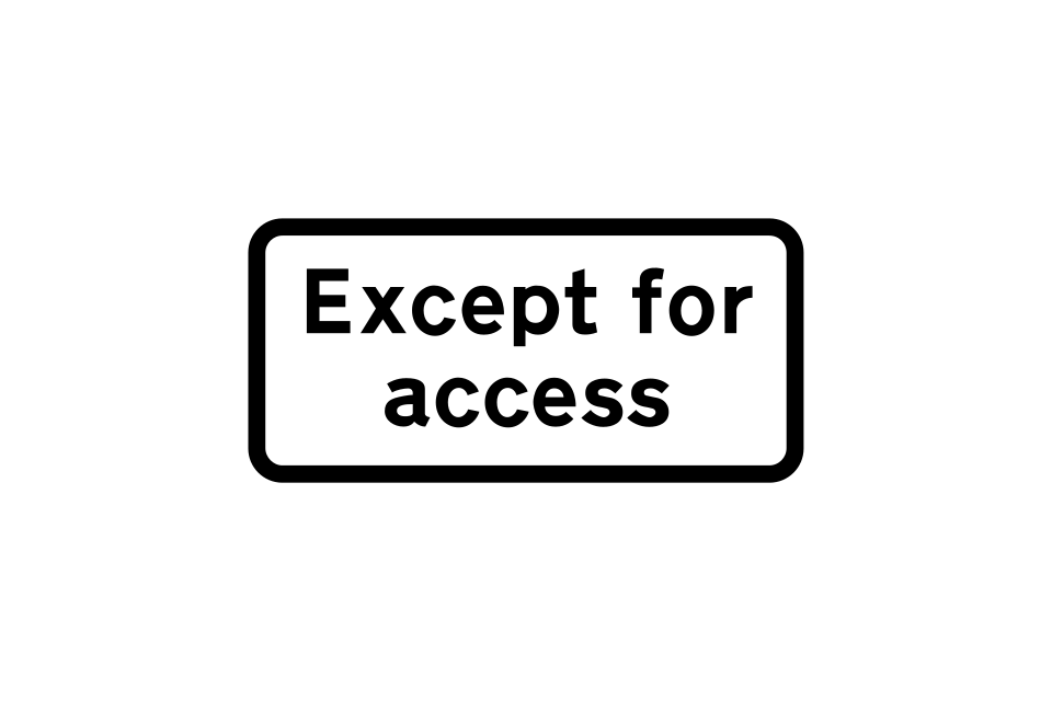
Except for access to premises or land adjacent to the road, where there is no other route
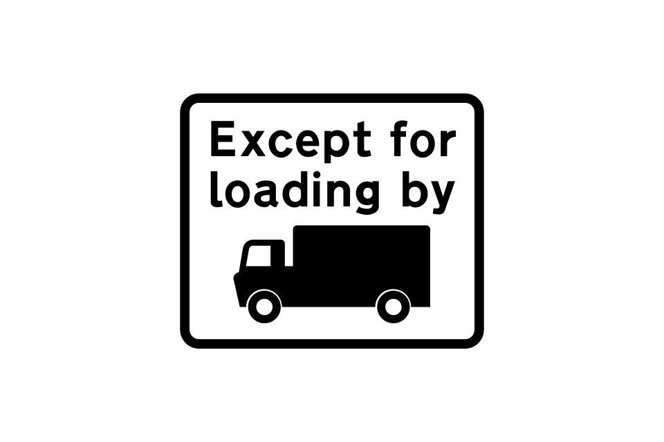
Except for loading and unloading by goods vehicles
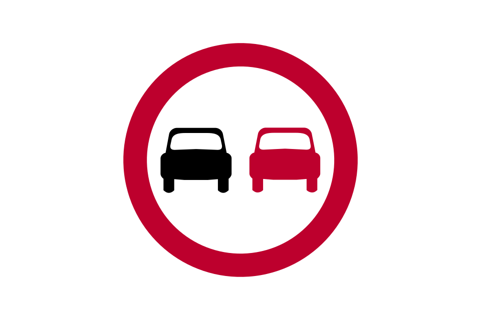
No overtaking
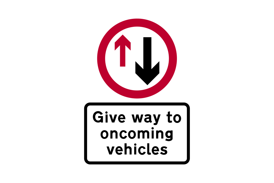
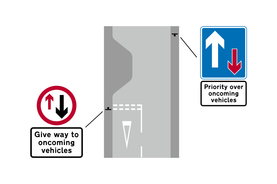
Where a road or bridge is very narrow, priority must be given to traffic from the other direction (there will usually be a ‘give way’ line indicating where to wait)
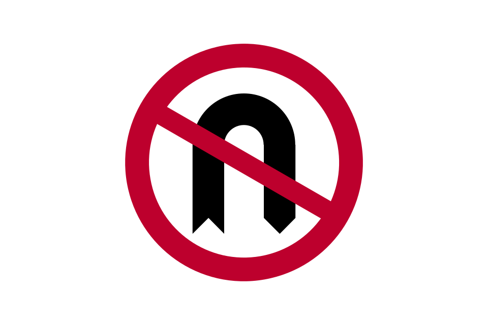
No U-turn
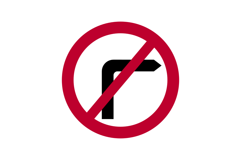
No right turn
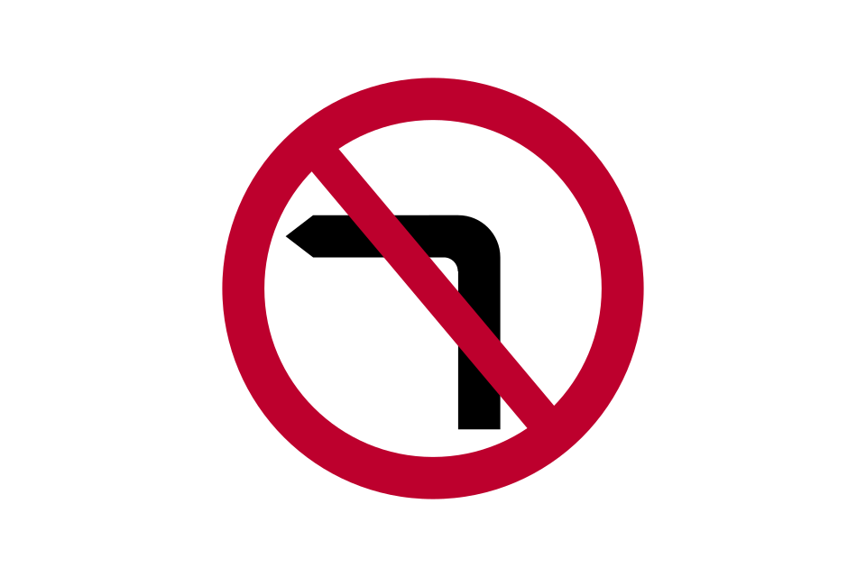
No left turn
A time plate used with a ‘no right turn’ or ‘no left turn’ sign indicates a part-time prohibition
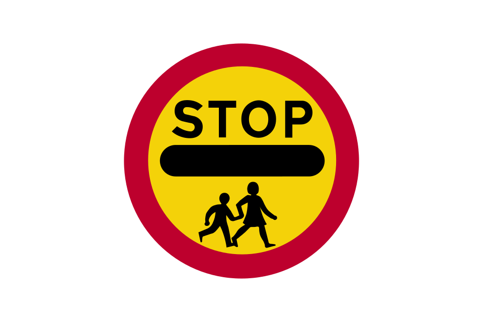
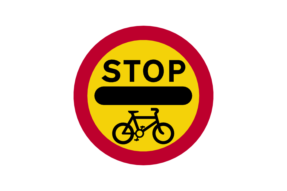
Vehicles must not go beyond the sign where displayed by a school crossing patrol
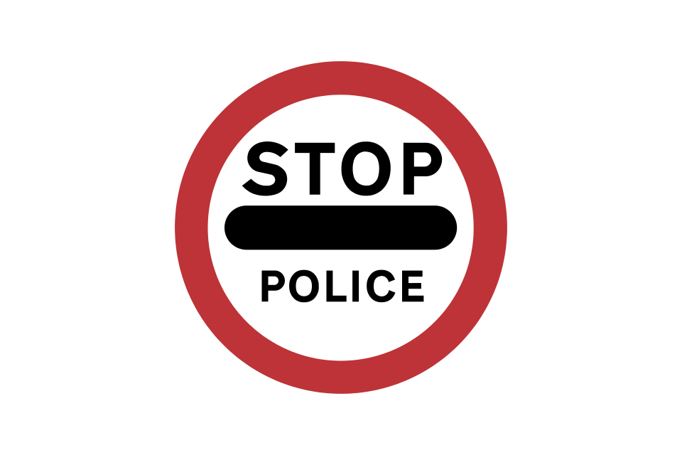
Vehicles must not go beyond the sign where displayed by a police officer or traffic warden
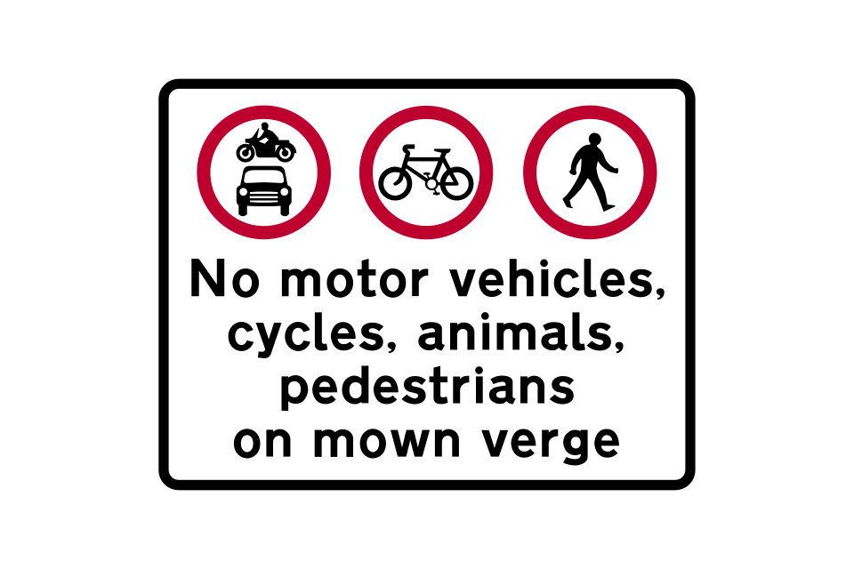
Specified traffic must not use verge maintained in mown or ornamental condition
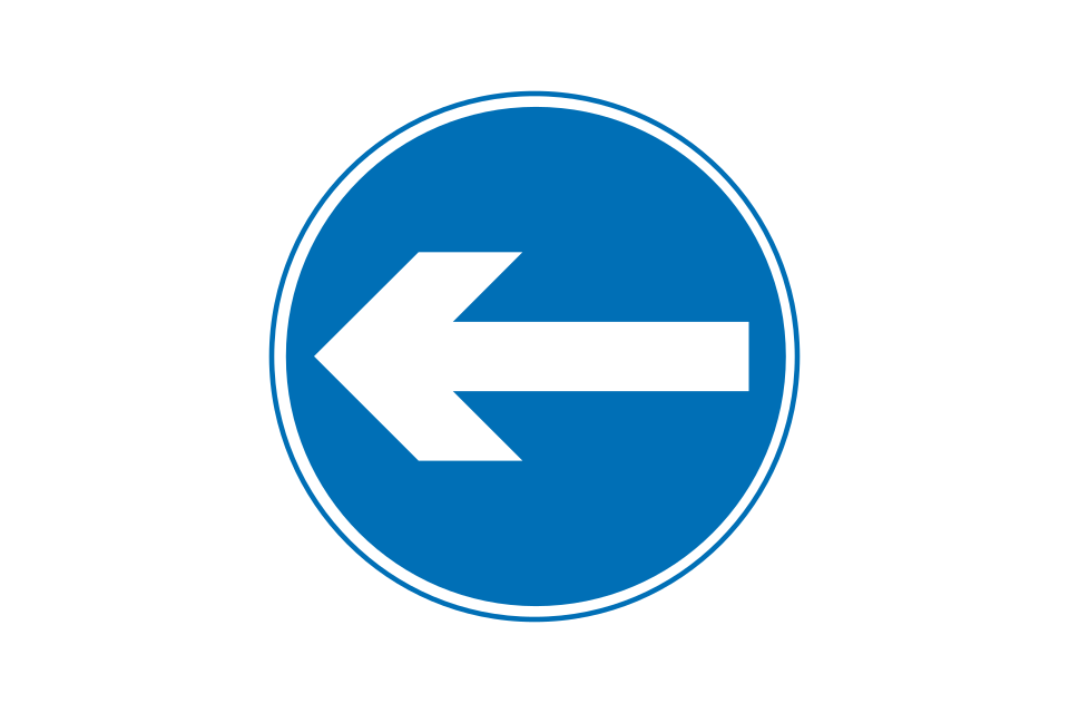
Proceed in direction indicated by the arrow
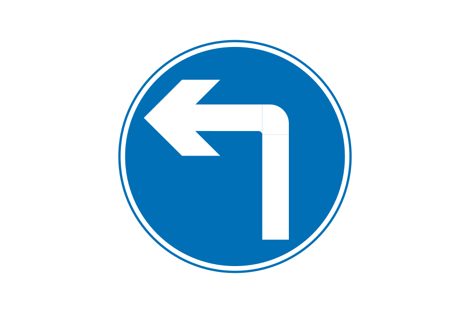
Turn left ahead (right if symbol reversed)
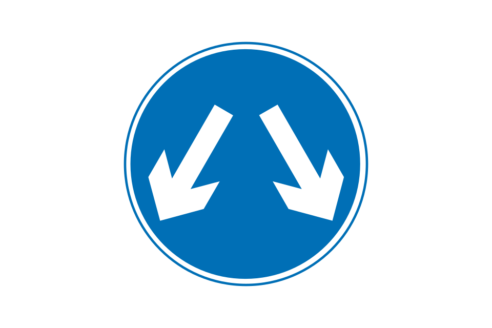
Vehicles may pass either side to reach the same destination
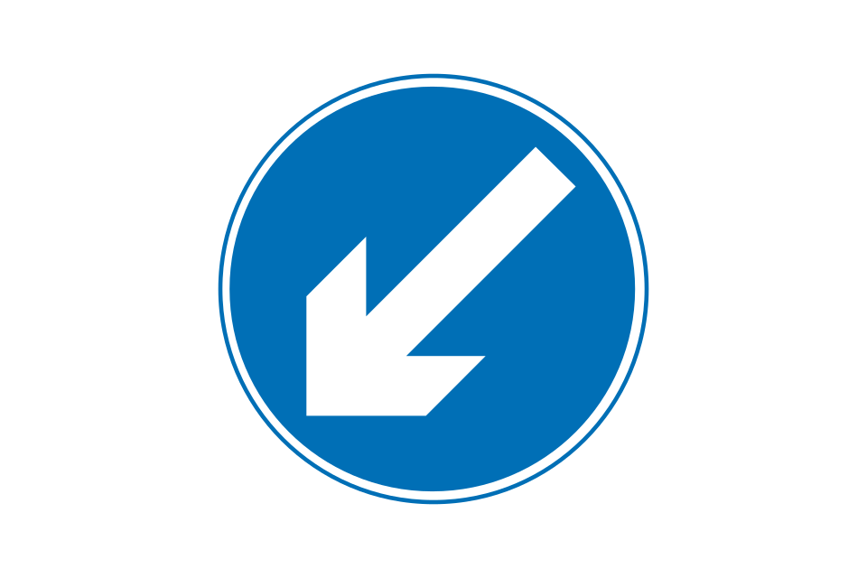
Keep left (right if symbol reversed)
Plates supplementing ‘turn’ signs
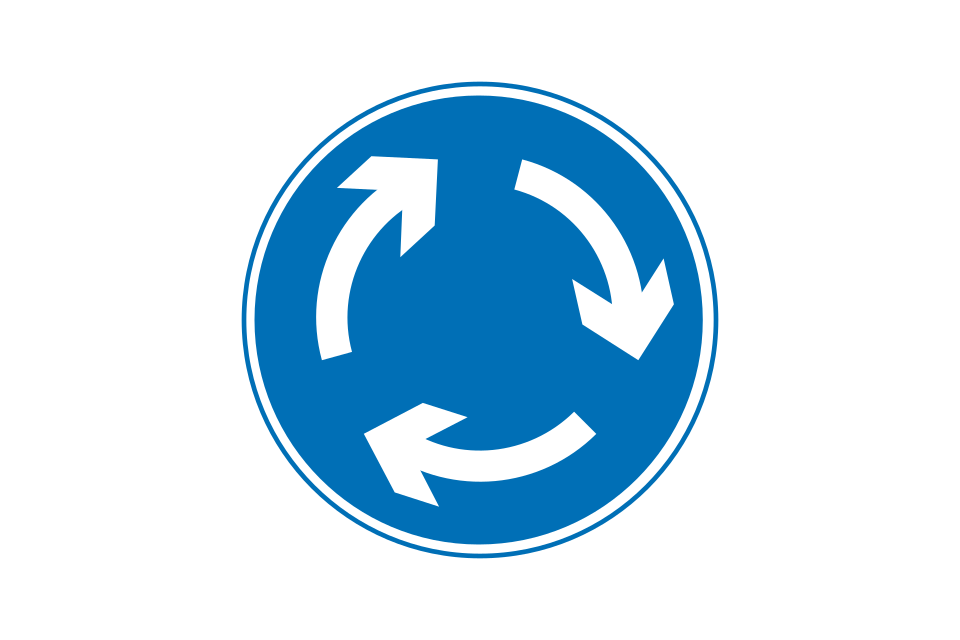
Mini-roundabout (give way to traffic from the immediate right)
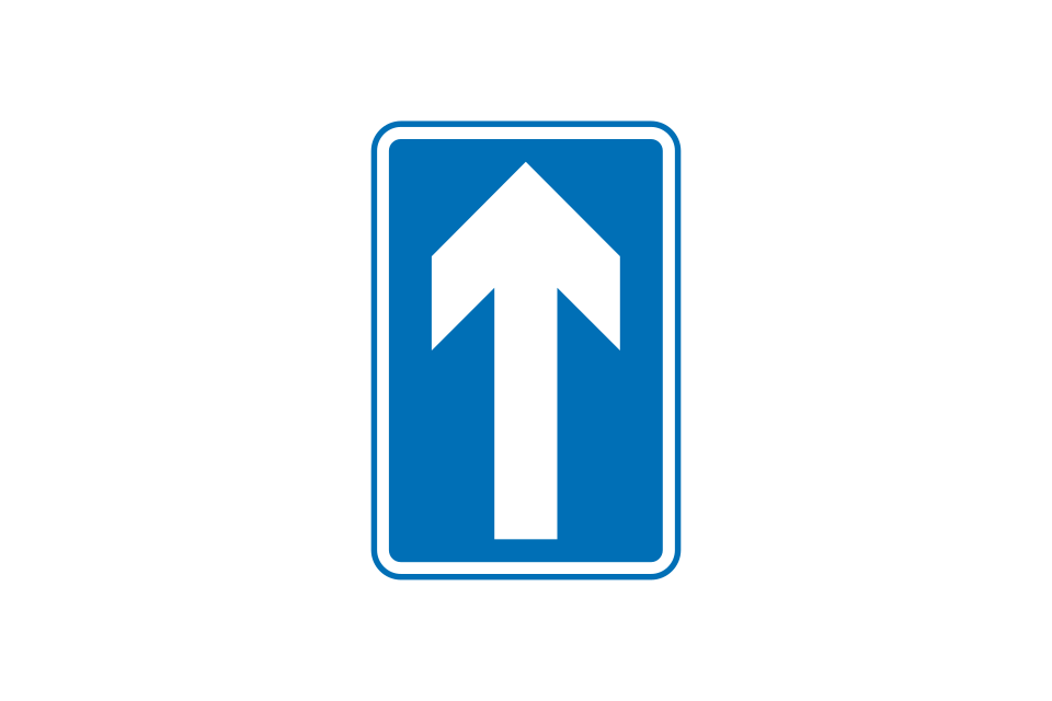
One-way traffic
Vehicles must not go beyond the sign where displayed during a cycle event
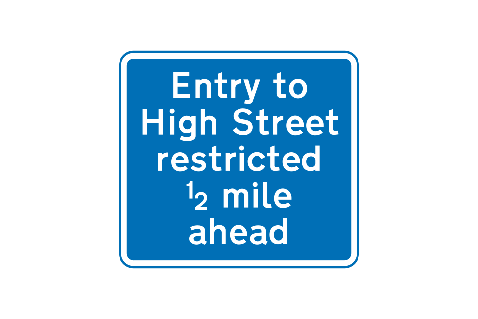
Nature of and distance to a prohibition, restriction or requirement
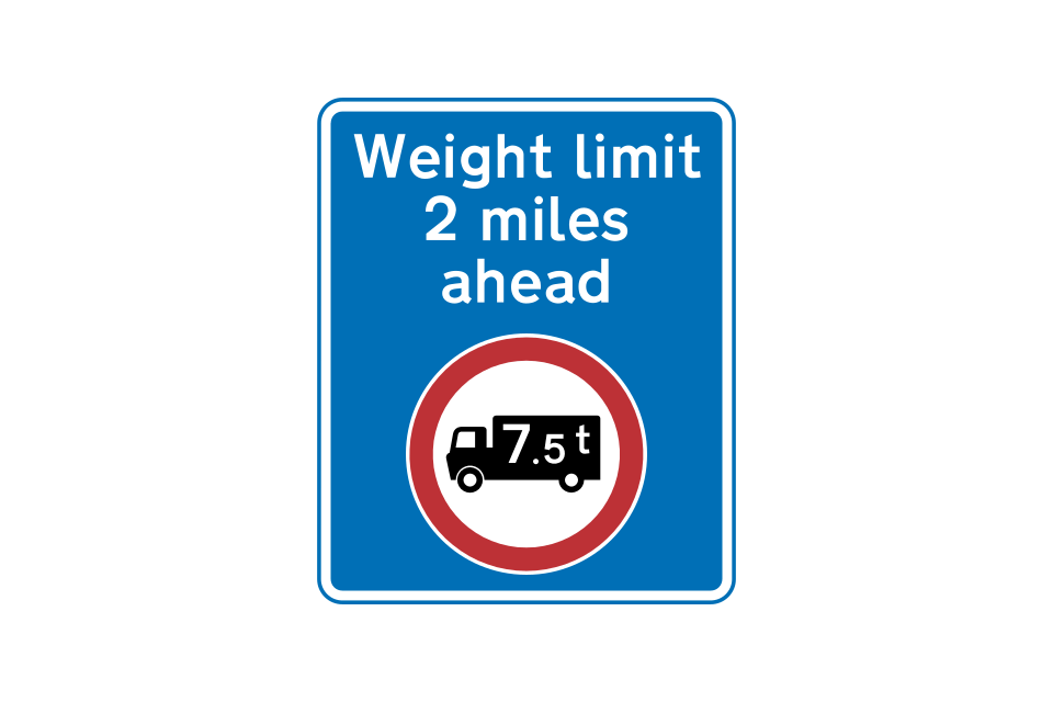
Weight restriction ahead (may show a different restriction)
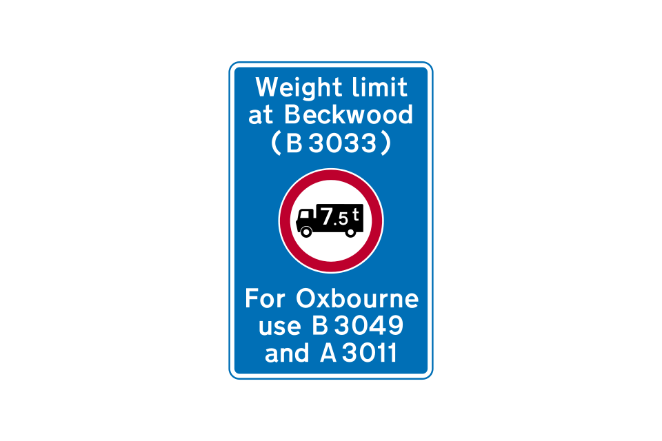
Location of weight restriction ahead with indication of an alternative route (may show a different restriction)
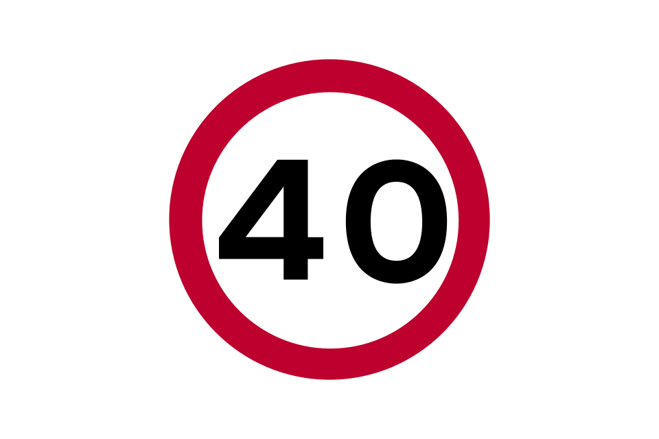
The maximum speed, in miles per hour, at which traffic may travel, if it is safe to do so
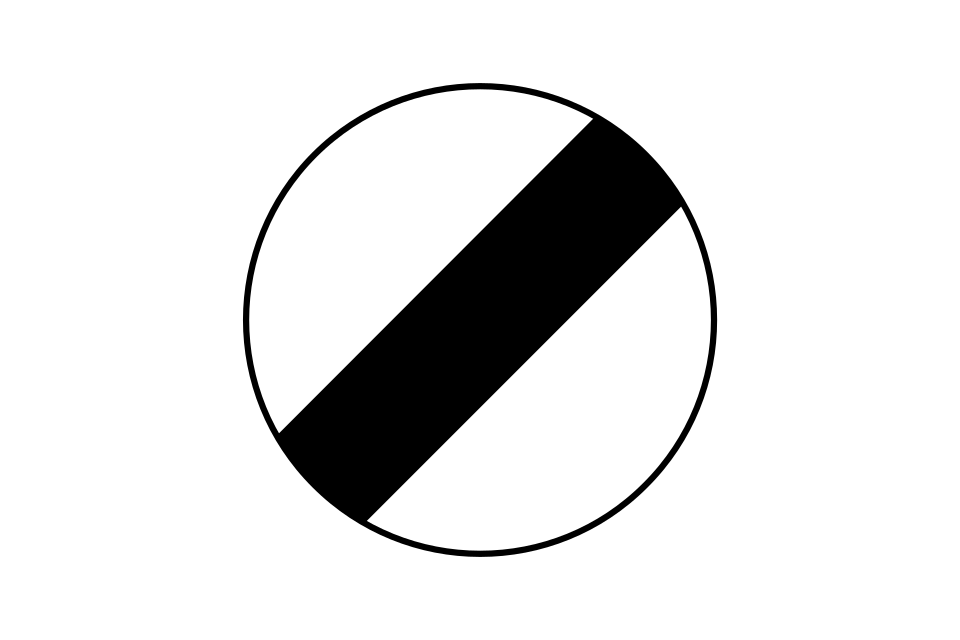
The national speed limit for the type of road and class of traffic applies
Road marking used in conjunction with upright signs to indicate the speed limit
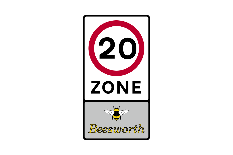
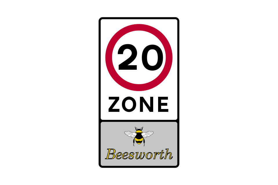
Entrance to a 20 mph zone in which traffic-calming measures may be encountered
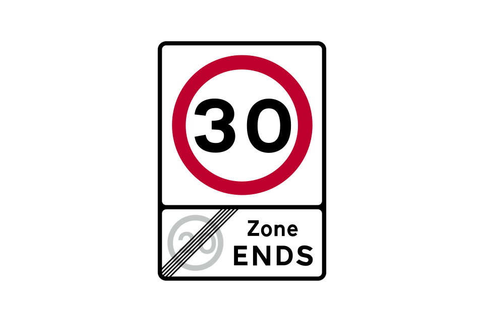
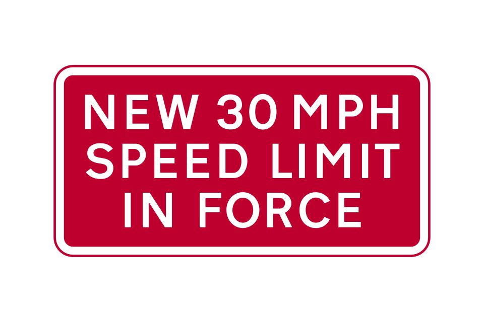
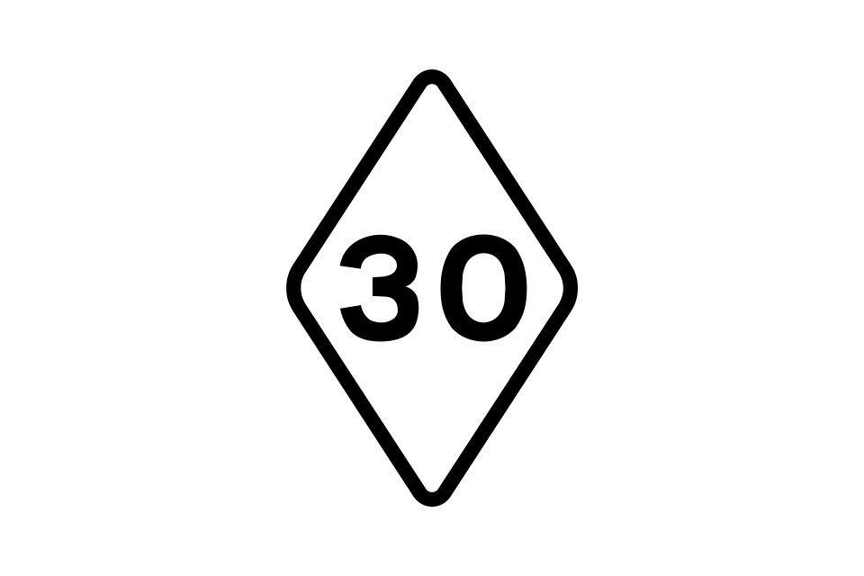
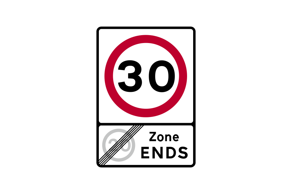
End of 20 mph zone and start of 30 mph speed limit
Start of a speed limit at the boundary of a town or village
Start of motorway regulations, including the national speed limit (unless a different speed limit is signed)
Point on a road with street lighting where an existing 30 mph limit originally ended but has subsequently been extended (temporary sign)
End of road works and any temporary speed limit through those works (may be supplemented by a sign indicating the permanent speed limit beyond the road works)
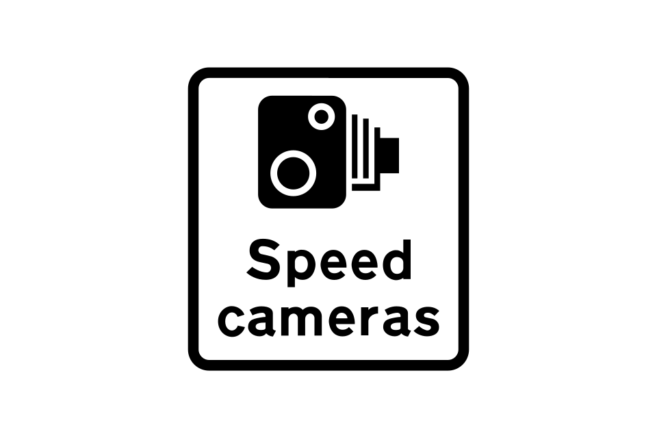
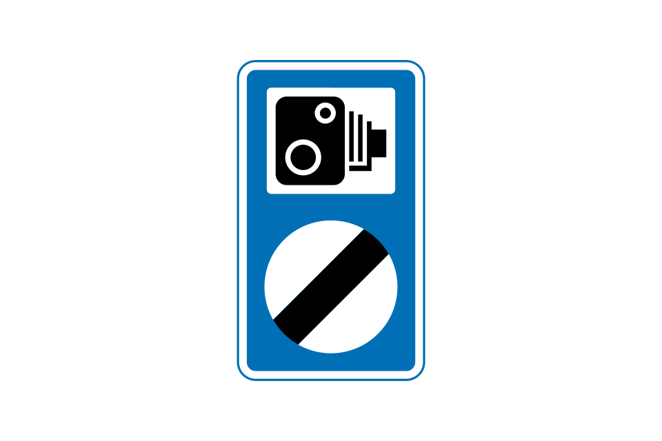
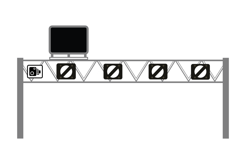
Area where speed cameras are in use
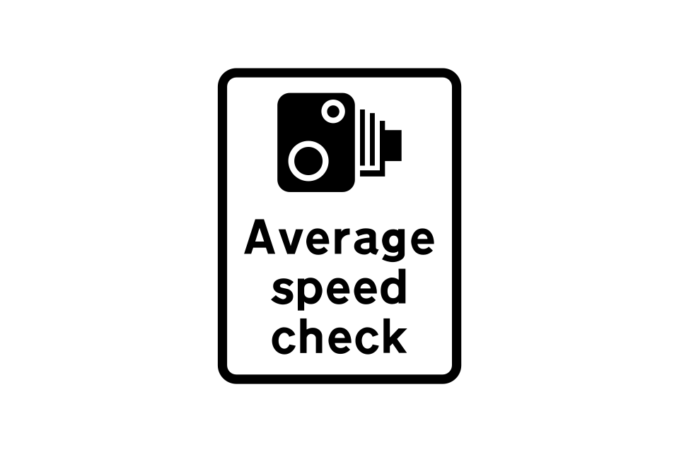
Length of road where 2 cameras are used to measure the average speed of a vehicle between 2 points
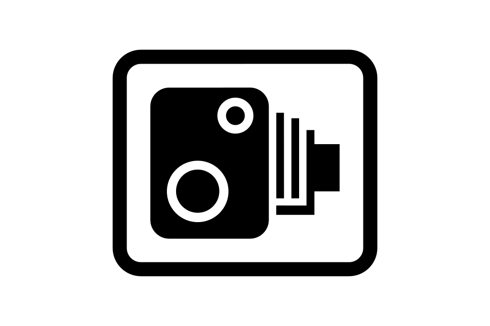
Reminder that enforcement cameras are in use (may be supplemented by a speed limit sign)
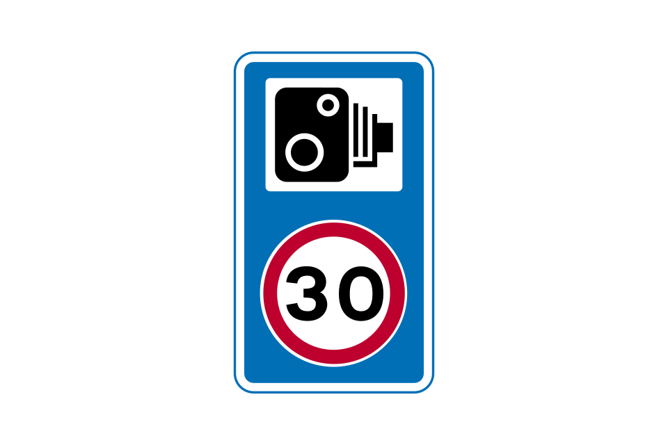
Speed camera nearby on a lit road with a 30 mph speed limit (i
Speed camera nearby on an unlit road subject to the national speed limit (i
Maximum speed advised, in miles per hour, at a bend (the plate may be used with other warning signs)
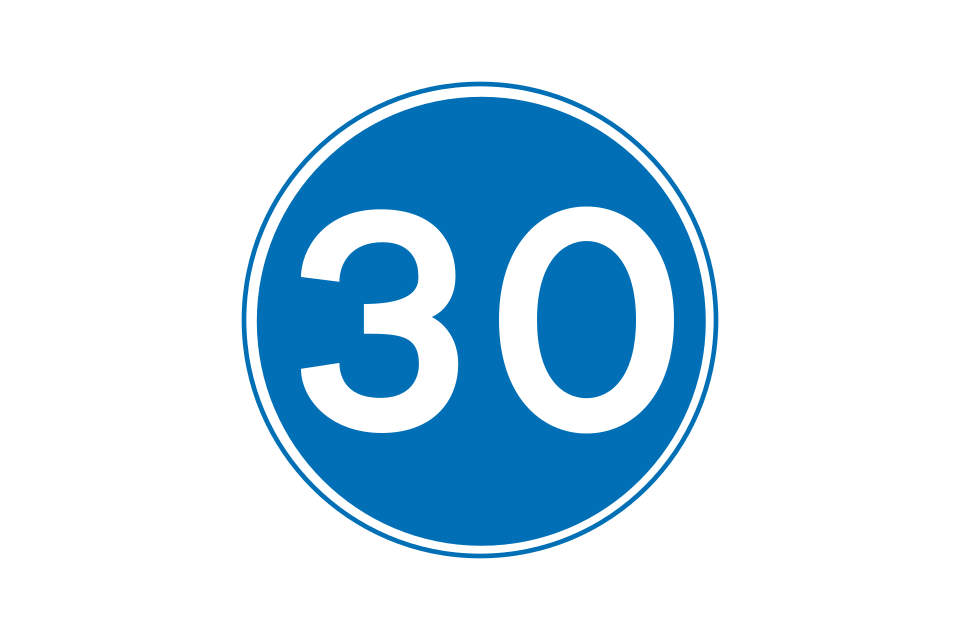
Minimum speed permitted, in miles per hour, unless it is impracticable or unsafe to comply
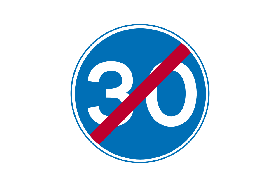
End of minimum speed requirement
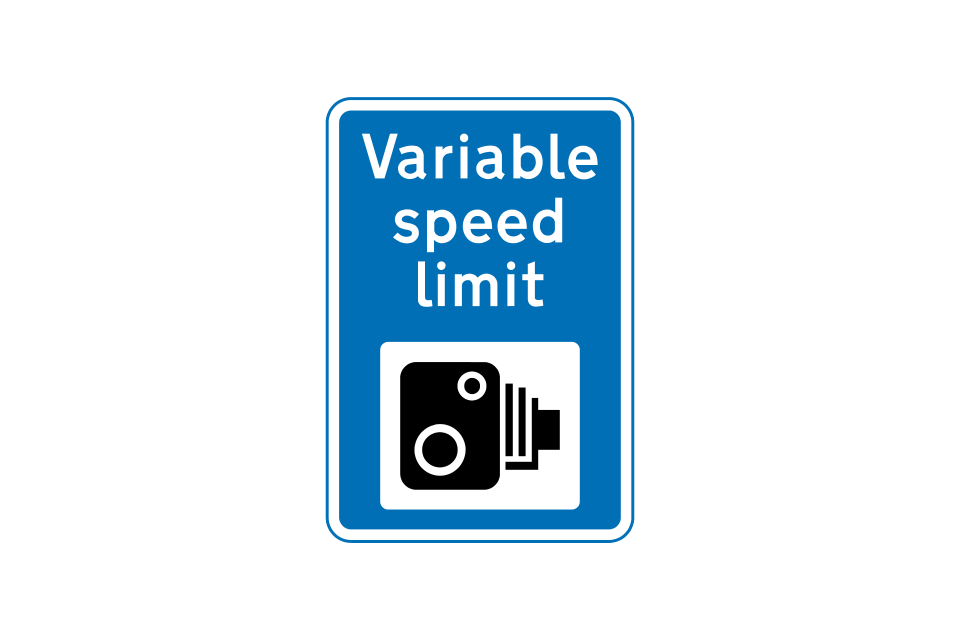
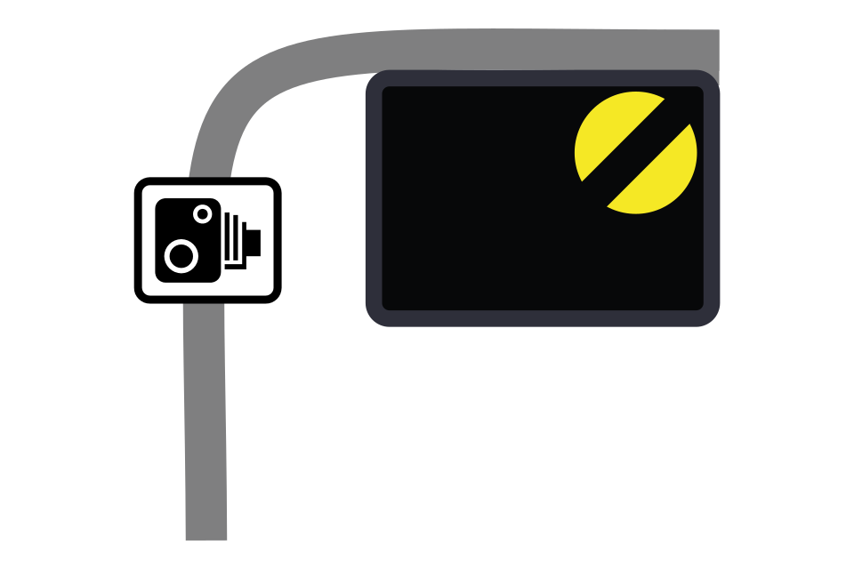
Start of variable speed limit on a length of road where enforcement cameras are in use
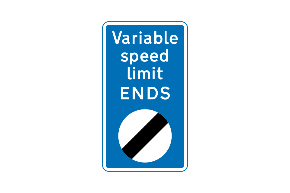
End of variable speed limit
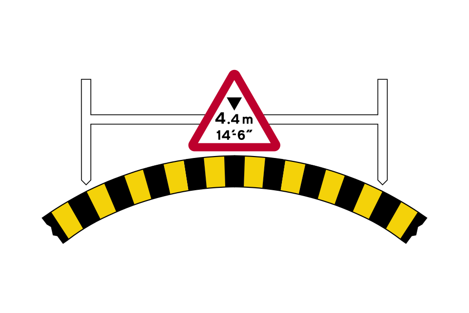
All bridges with a clearance of less than 16 feet 6 inches (about 5 metres) are normally signed
At non-arch bridges mandatory signs may be used; it is unlawful for an overheight vehicle to pass one of these
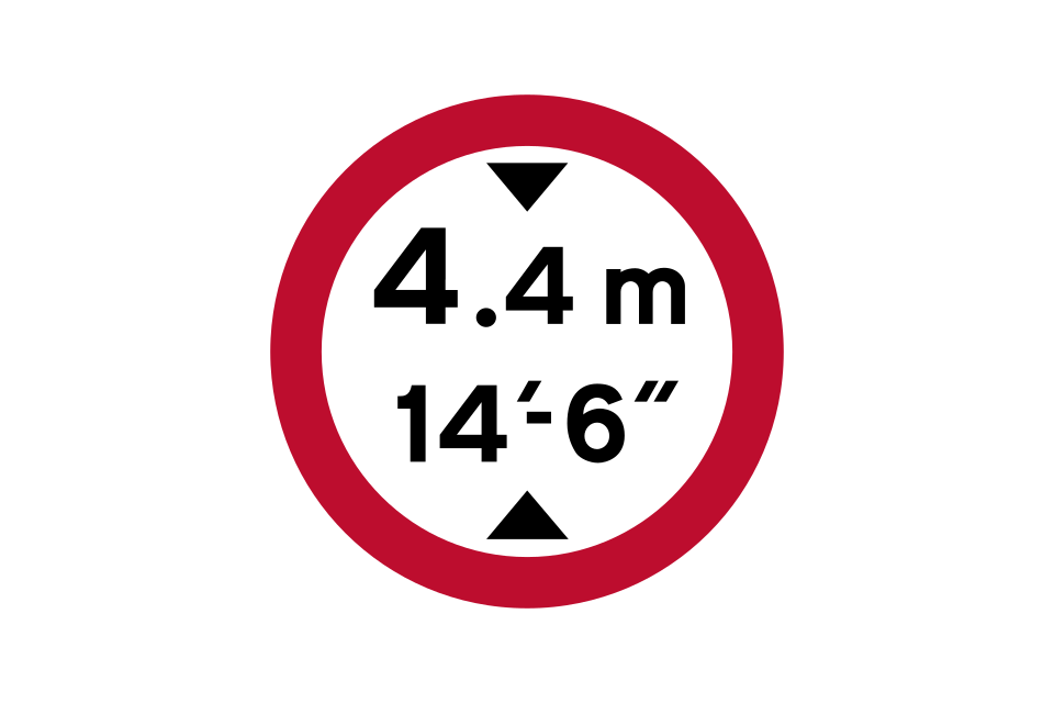
No vehicles over the height shown may pass the sign (height shown in metric and imperial units)
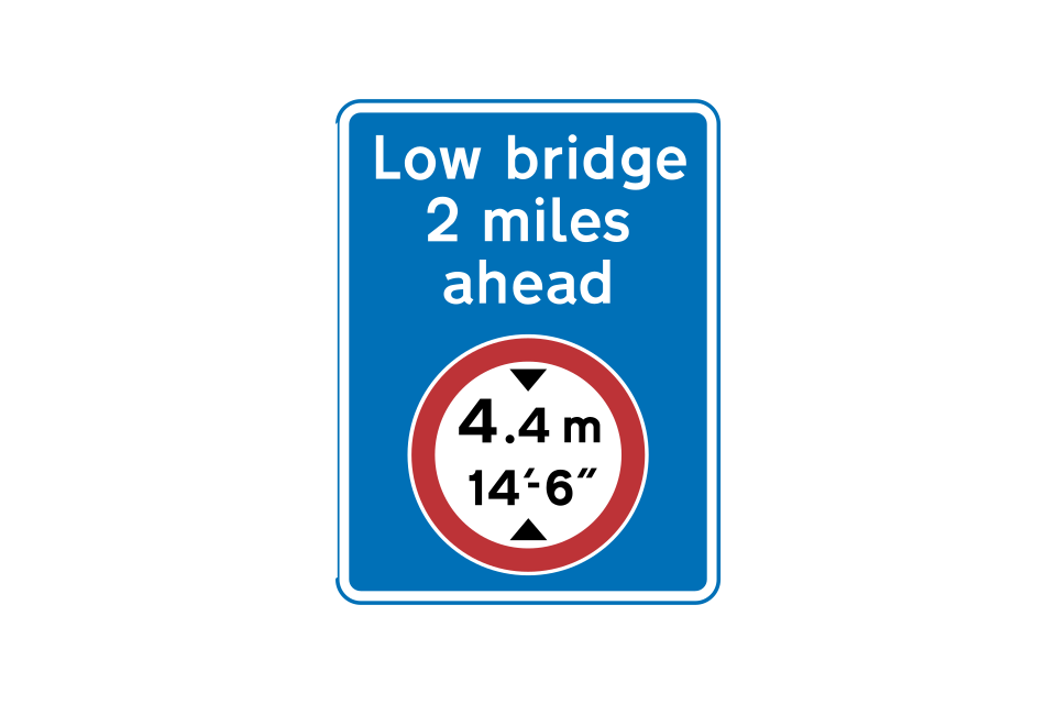
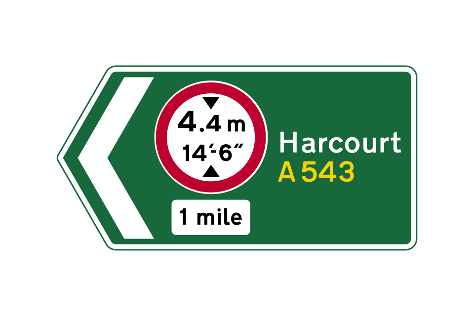
Advance warning of a mandatory height restriction ahead; the sign may include an arrow, if the restriction is on a side road
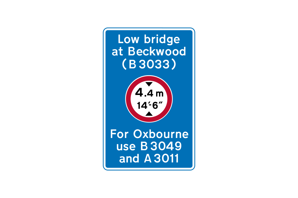
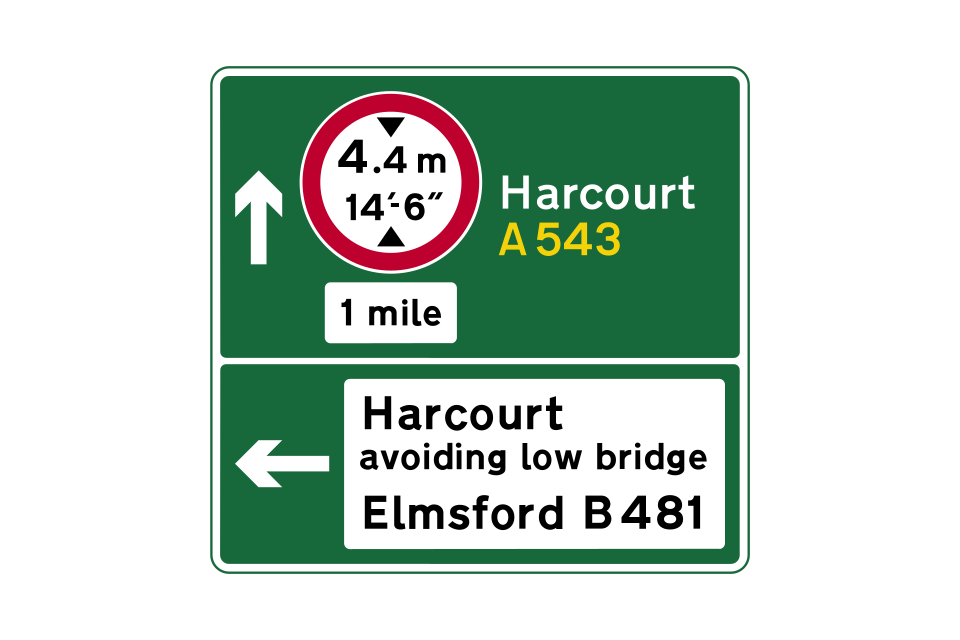
Location of mandatory height restriction ahead, with indication of an alternative route
Older signs not displaying metric and imperial units in one panel will be replaced when they reach the end of their life
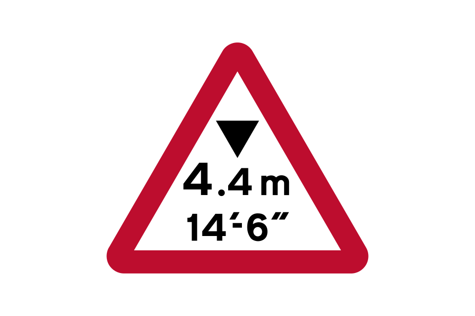
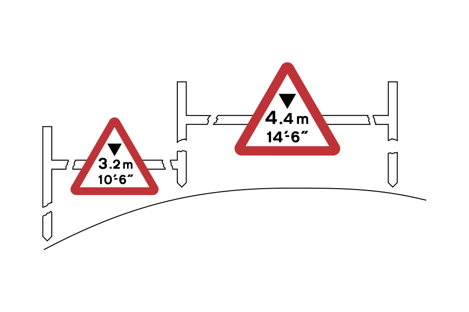
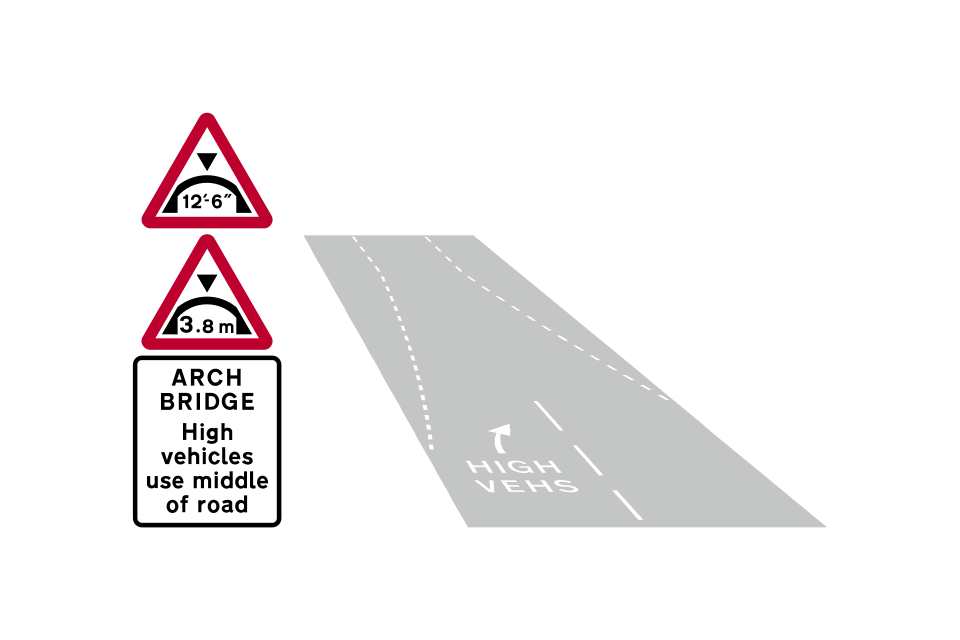
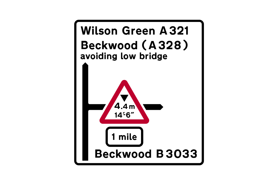
The maximum safe headroom at an arch bridge is shown on the triangular warning signs
To make a bridge more conspicuous, black and yellow bands may be added to the arches or beams and to the abutments
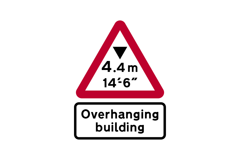
Where reduced headroom over a road is due to an overhanging building or structure, a plate may be added below the warning triangle to indicate this (‘building’ may be varied to ‘buildings’ or ‘structure’)
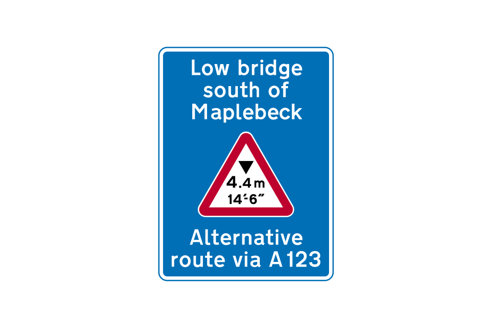
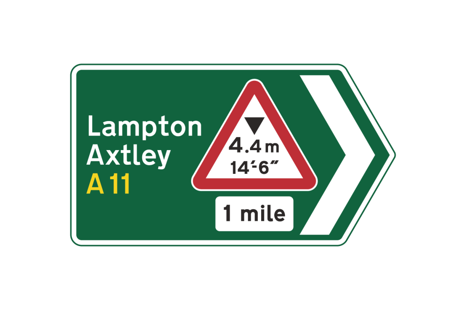
Roundels or warning triangles will sometimes be incorporated into directional signs that may also indicate an alternative route to take to avoid the low bridge
Location of a low bridge ahead, with indication of an alternative route
Roundels or warning triangles will sometimes be incorporated into directional signs that may also indicate an alternative route to take to avoid the low bridge
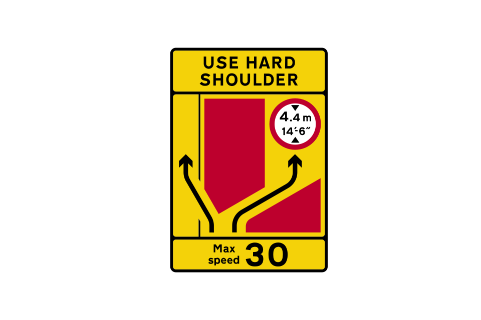
Roundels may also be incorporated into road works signs to indicate temporary height restrictions
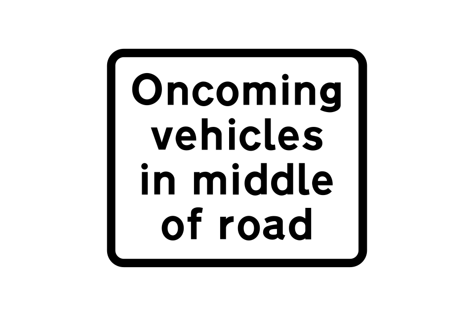
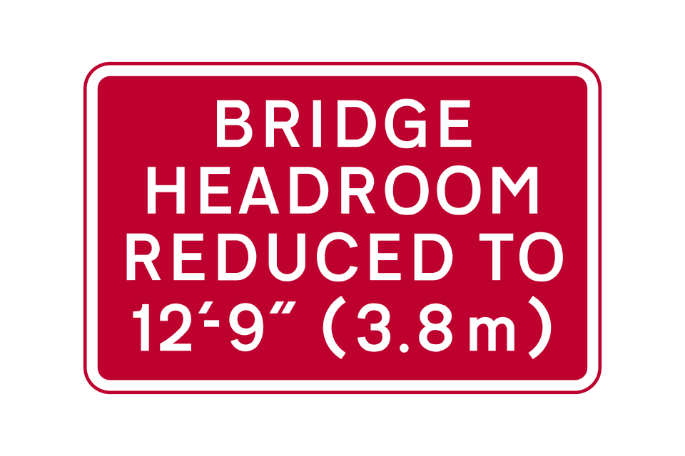
Temporary or permanent reduction in bridge headroom ahead (temporary sign)
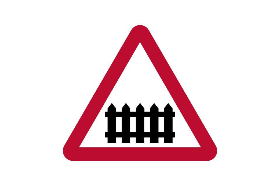
Level crossing with a gate or barrier
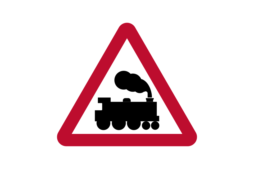
Level crossing without a gate or barrier
Plate used with level crossing warning signs: advance warning of light signals at a level crossing with or without a gate or barrier
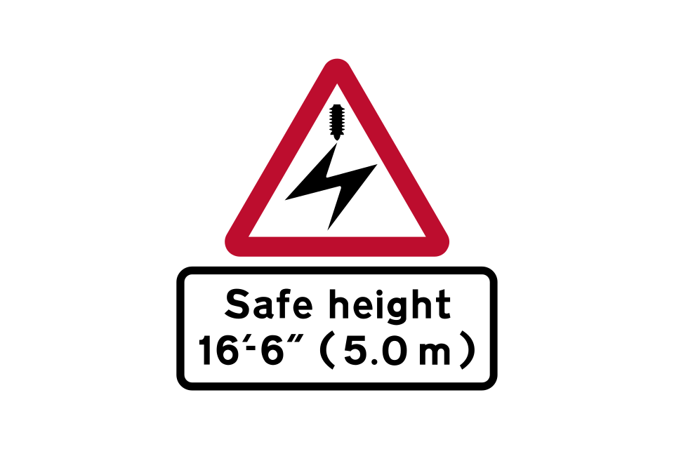
Electrified overhead cable and the safe height beneath it (usually associated with an overhead electrified railway or tramway)
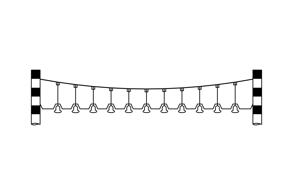
Bells suspended over the road at a railway crossing to give an audible warning to drivers of vehicles that exceed the safe height beneath electrified overhead cables
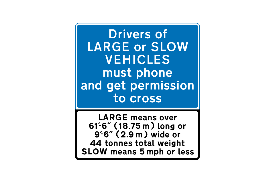
At automatic level crossings, drivers of large or slow vehicles must phone before and after crossing
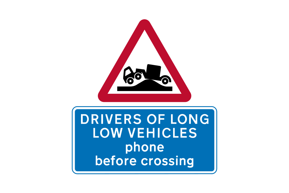
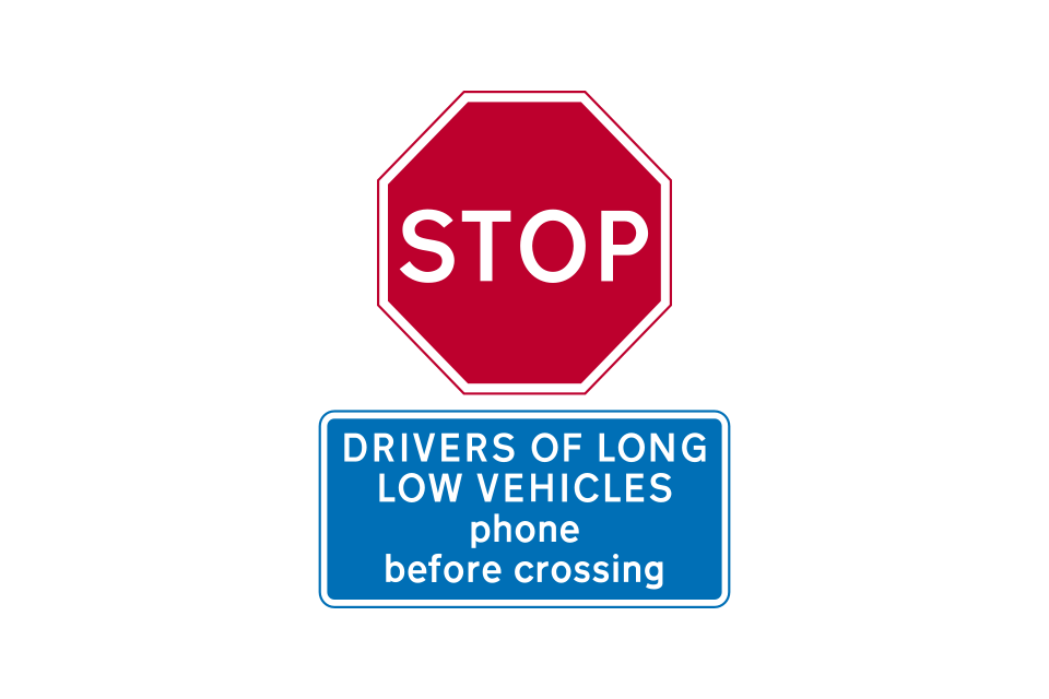
Long low vehicles may be at risk of grounding; drivers of such vehicles must phone before crossing
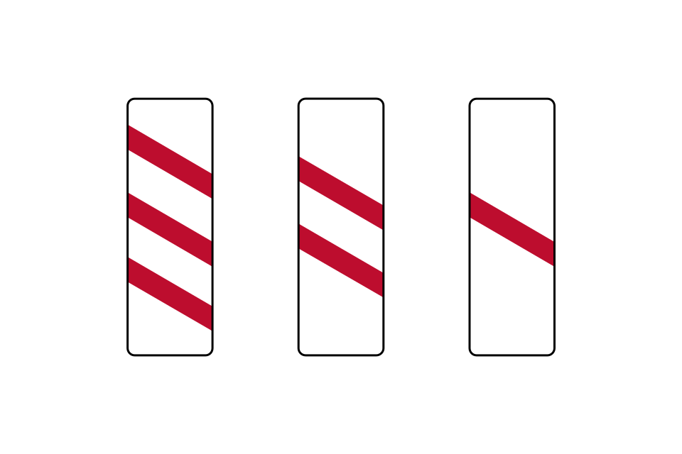
Countdown markers may be provided on the approach to a crossing
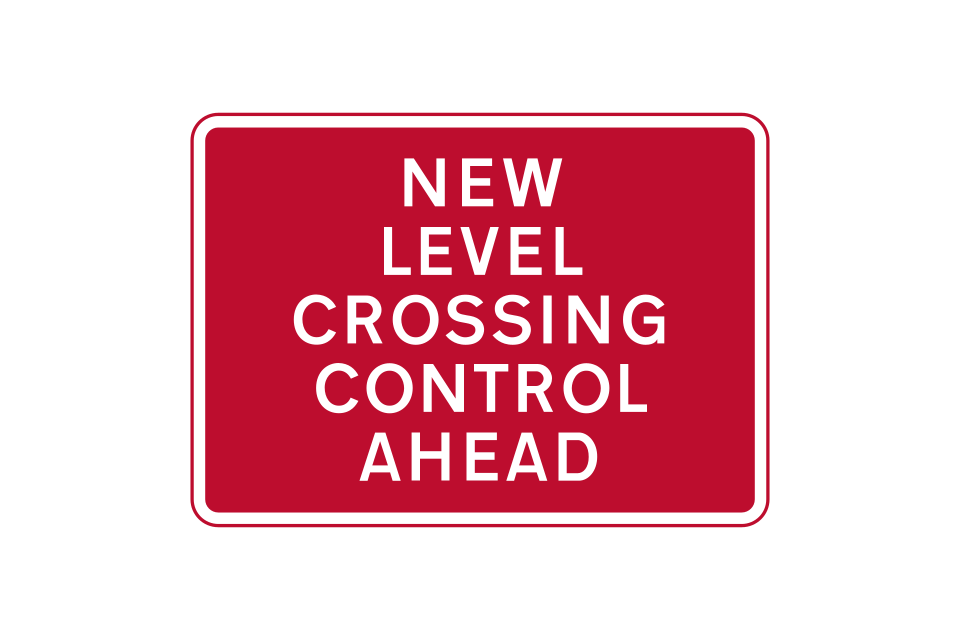
New method of controlling traffic at a crossing ahead (temporary sign)
Road traffic signals at a level crossing
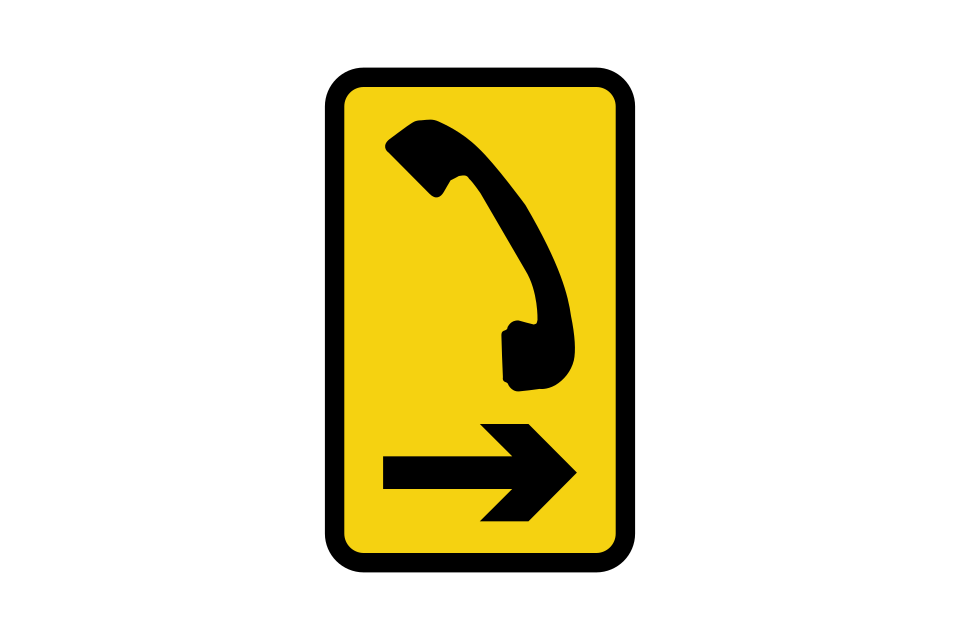
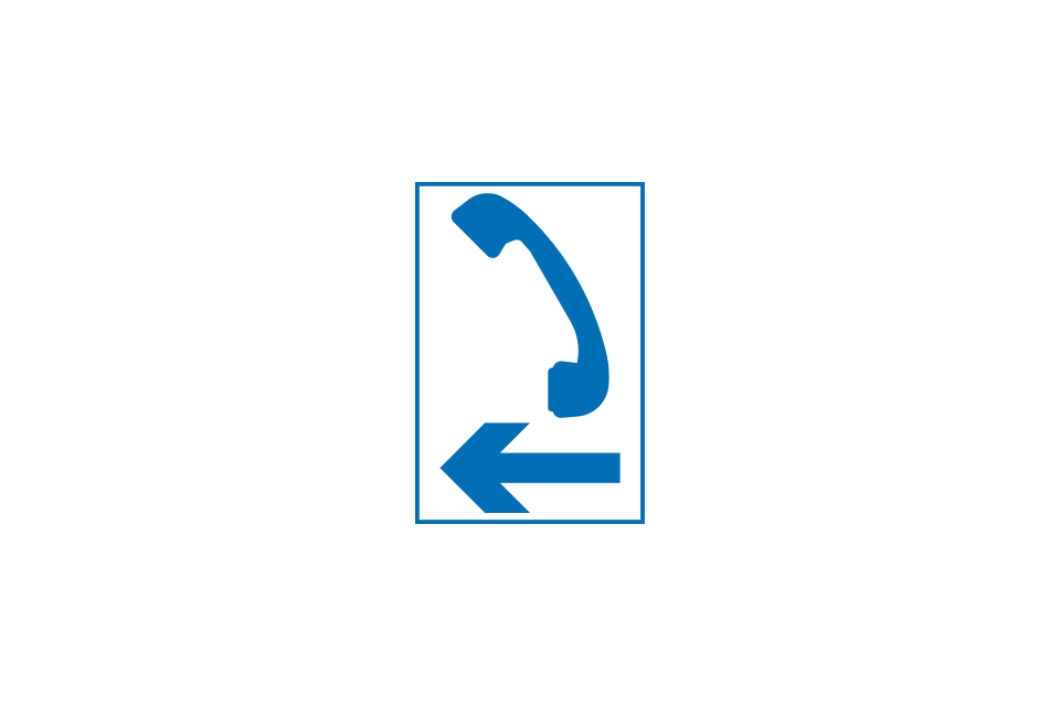
Direction to phone
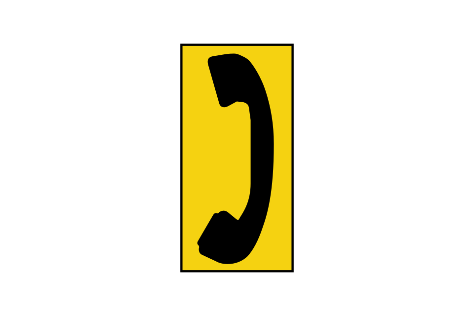
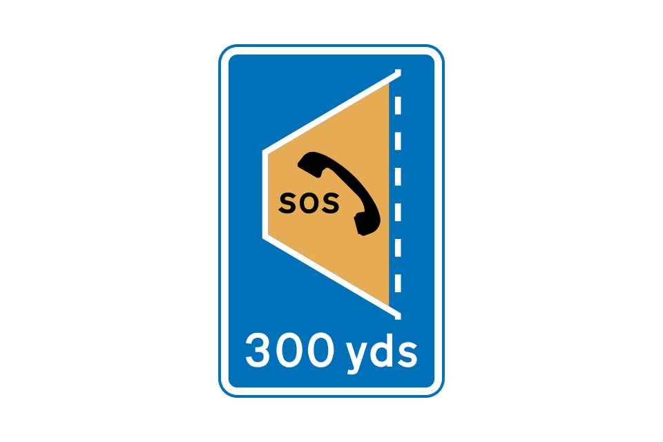
Location of phone
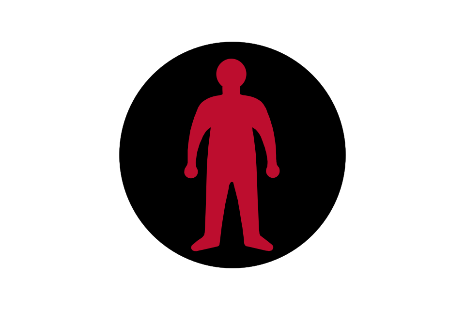
Flashing pedestrian signals used at some level crossings indicate that it is not safe to cross: pedestrians should stop at the pedestrian stop line
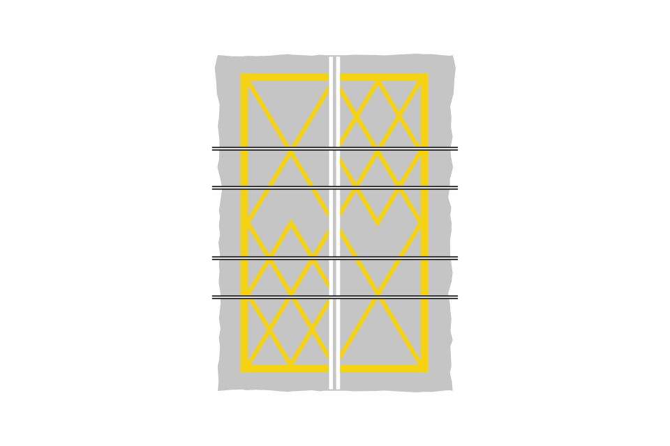
Yellow box markings indicate an area of carriageway at a level crossing that must be kept clear
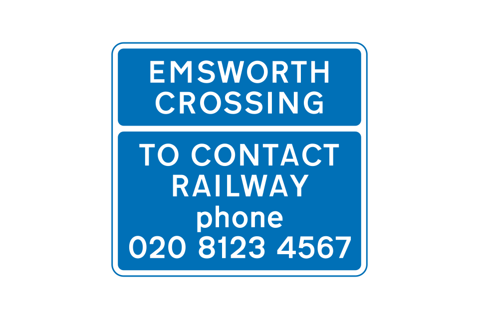
Name of level crossing and phone number for contacting the railway operator (at level crossings without a dedicated phone)
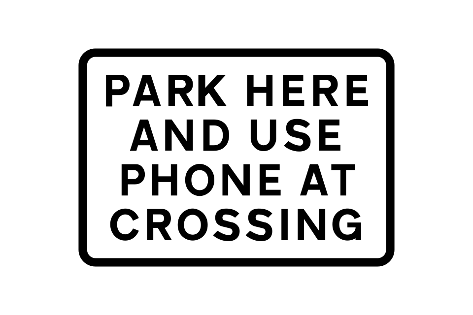
Place where drivers of large or slow vehicles should park near a level crossing while contacting the signal operator
These level crossings have gates or barriers but no attendant
The St Andrew’s cross is used at level crossings where there are no gates or barriers
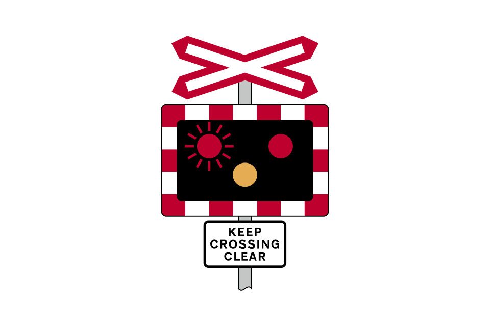
Automatic open level crossings have flashing signals and audible warnings
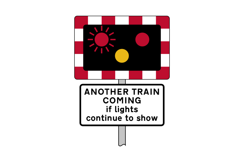
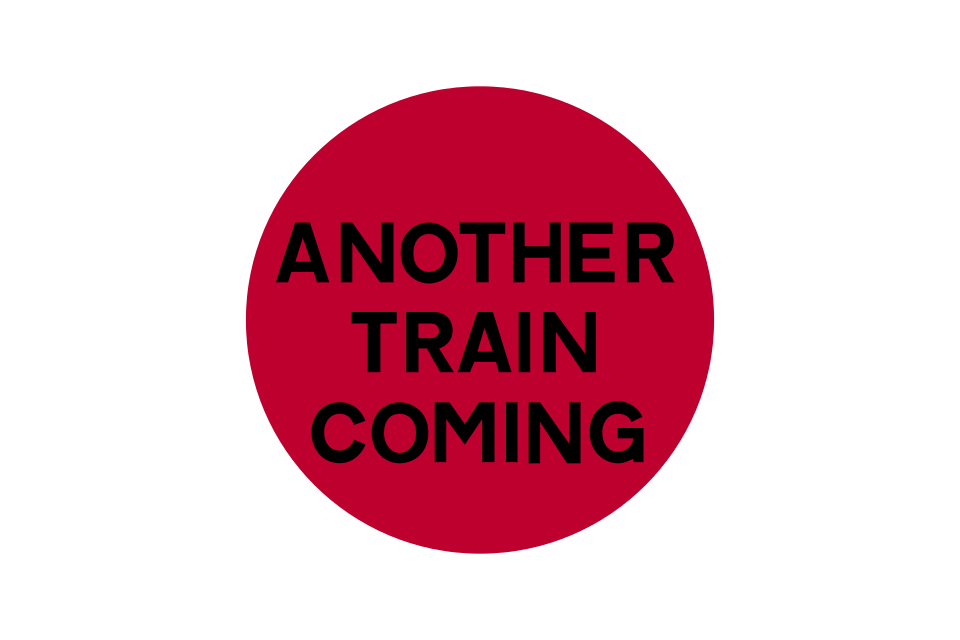
If there is more than one railway line over an automatic crossing, this signal will also flash and the sound of the audible warning will change if another train is approaching
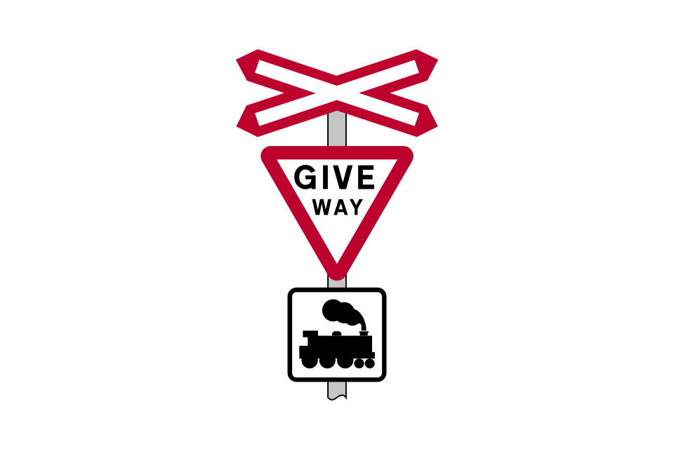
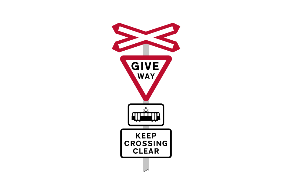
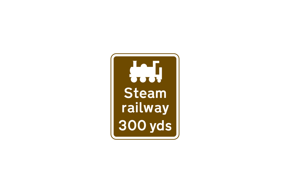
Open level crossings without gates, barriers or road traffic light signals have ‘give way’ signs over a symbol of a railway locomotive
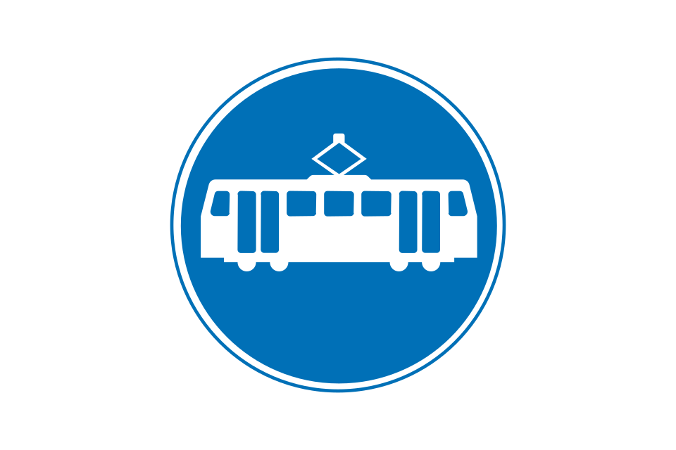
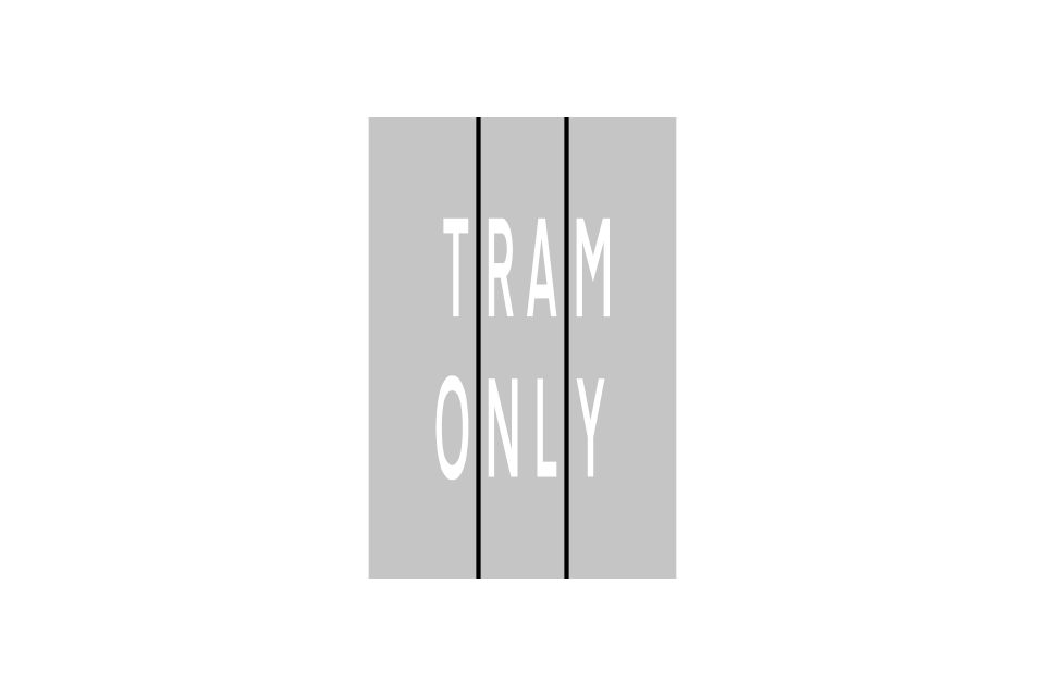
Route for trams only
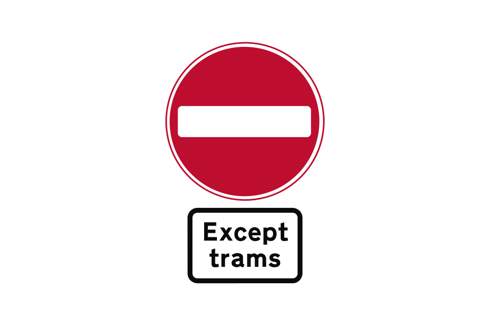
No entry except trams (likely to be used where the route is physically unsuitable for other vehicles)
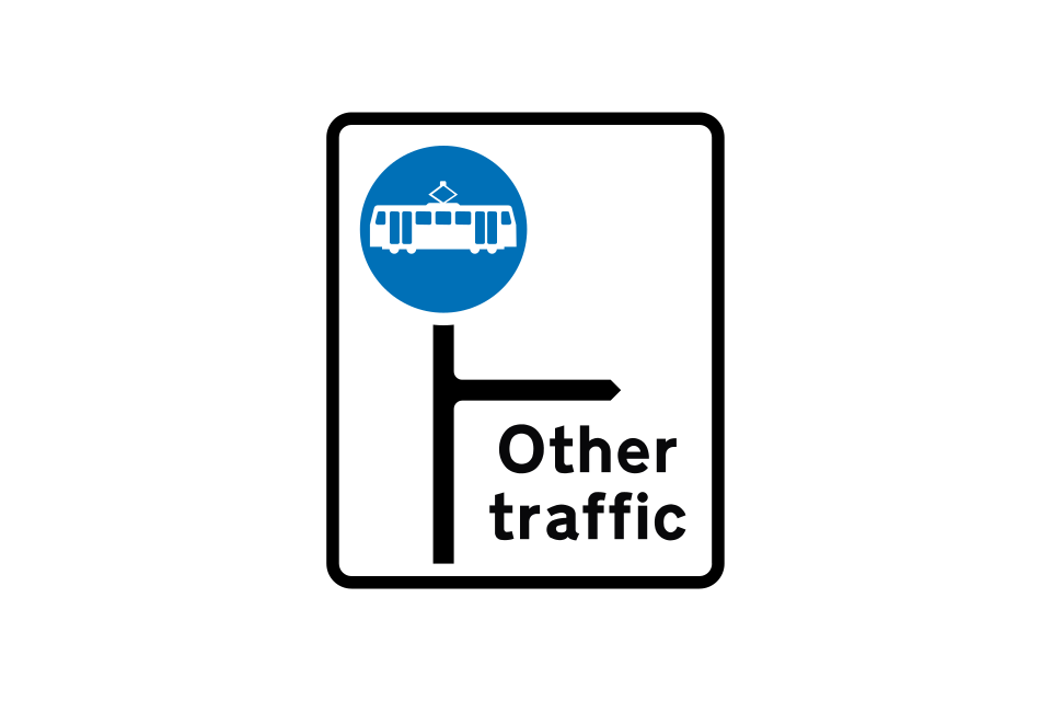
Indication of a tram-only route at a junction ahead
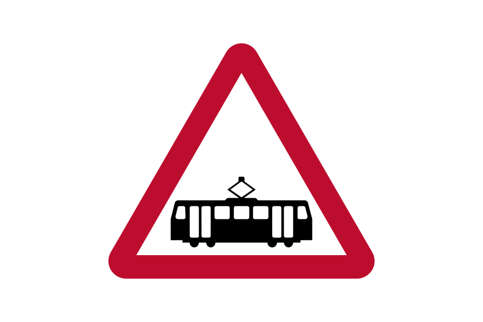
Warning of trams crossing the road ahead
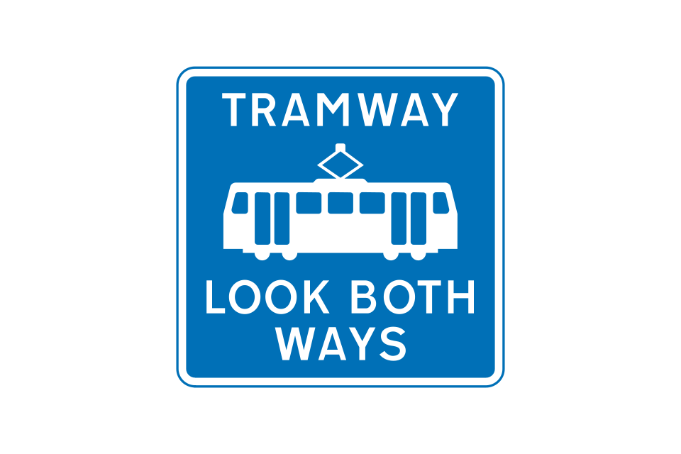
Reminder to pedestrians to look out for trams approaching from both directions
Drivers of other vehicles must give way to trams at level crossings without barriers, gates or road traffic light signals
Indication of a tram-only route at a junction ahead
Alternative road markings indicating the edge of that part of the road used by trams (the swept path)
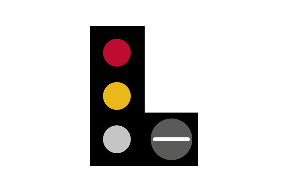
The signal mounted to the right gives instructions to tram drivers; these instructions may not be the same as those given to drivers of other vehicles
Stop unless it is unsafe to do so
Stop
Proceed ahead
Proceed left
Proceed right
Stop line for trams at traffic signals where that part of the road is not used by other vehicles
Speed limit sign for tram drivers shown in kilometres per hour
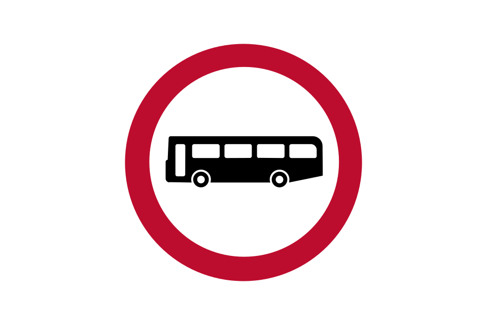
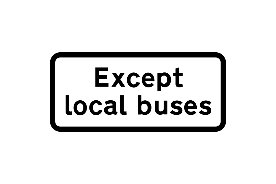
No vehicles designed to carry more than 8 passengers (excluding driver) or local buses
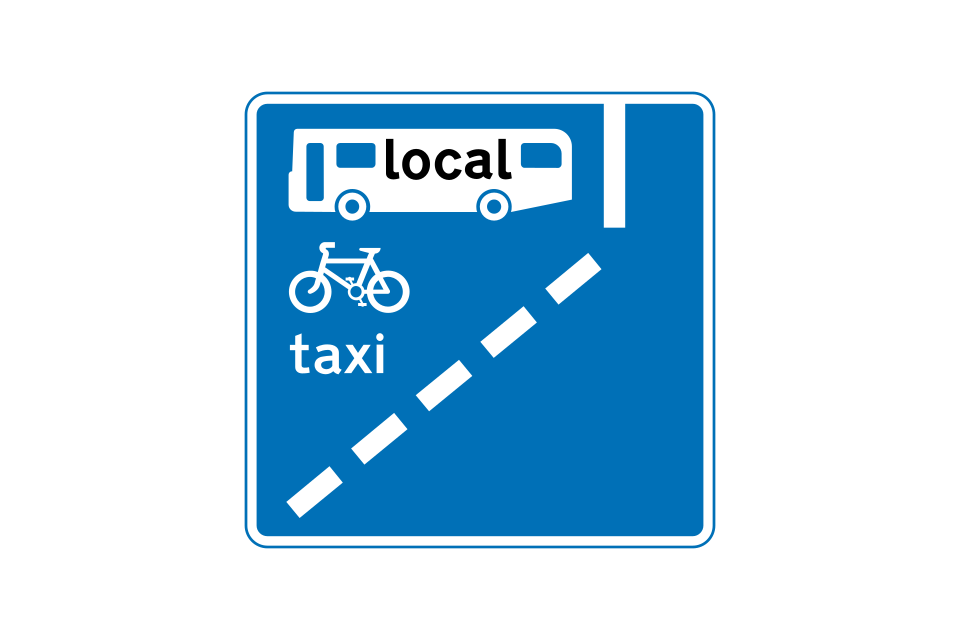
With-flow bus lane ahead that can also be used by pedal cycles and taxis
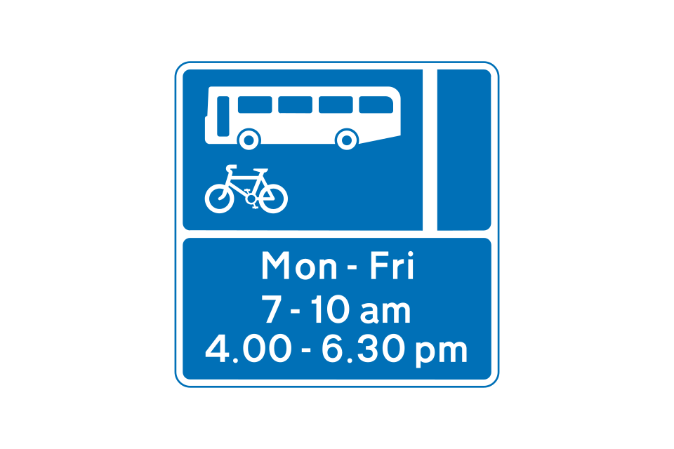
With-flow bus and pedal cycle lane sign showing hours of operation
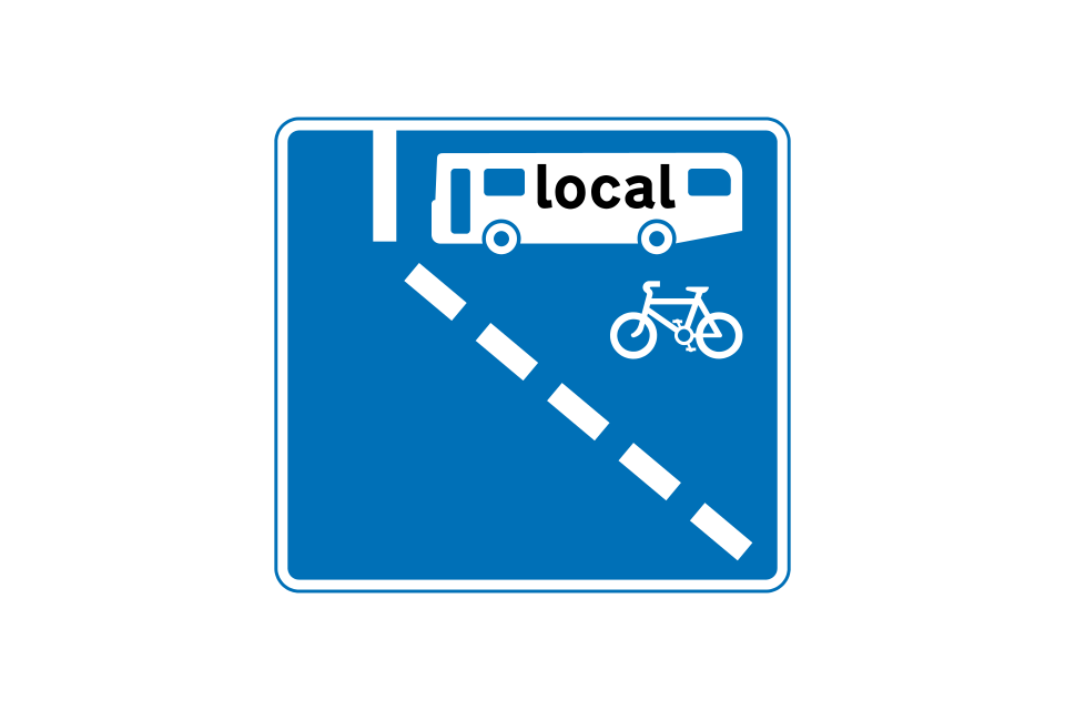
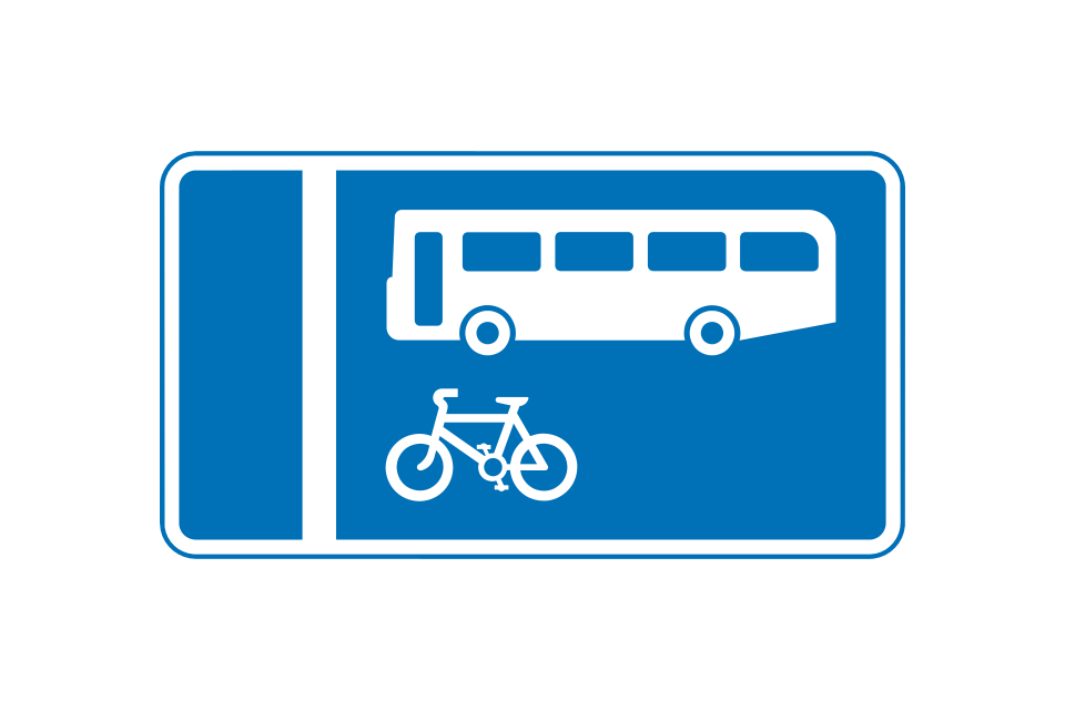
Off-side with-flow bus lane ahead that can also be used by pedal cycles
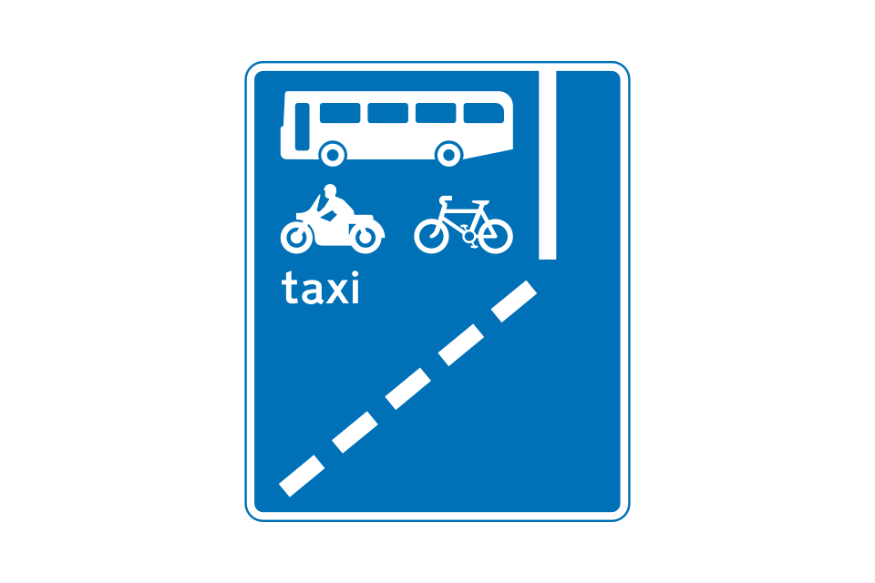
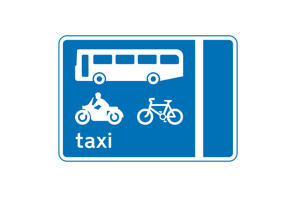
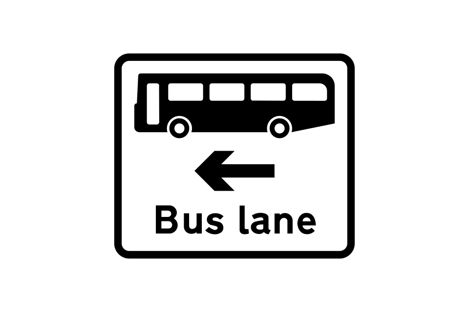
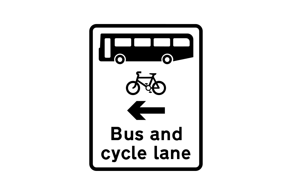
Near-side with-flow bus lane ahead that can also be used by solo motorcycles, pedal cycles and taxis
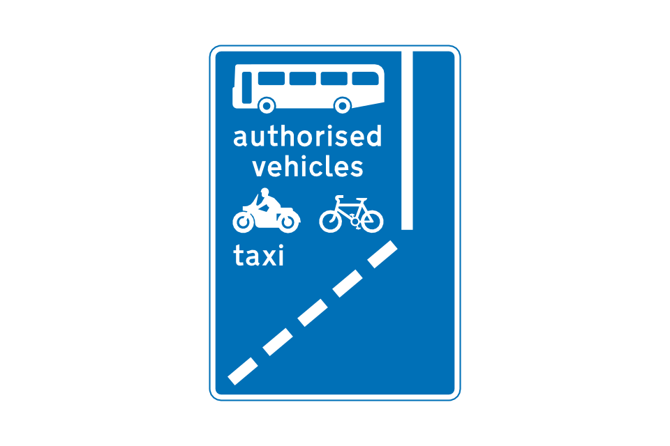
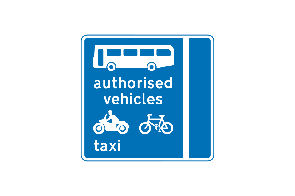
Near-side with-flow bus lane ahead that can also be used by authorised vehicles, solo motorcycles, pedal cycles and taxis
Off-side with-flow bus lane that can also be used by pedal cycles
Near-side with-flow bus lane that can also be used by solo motorcycles, pedal cycles and taxis
Near-side with-flow bus lane that can also be used by authorised vehicles, solo motorcycles, pedal cycles and taxis
Road markings indicating the start of a route for buses and other permitted vehicles shown on upright blue circular signs
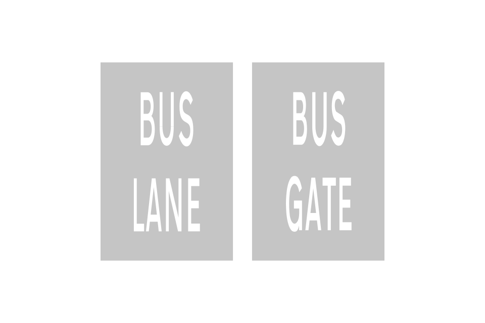
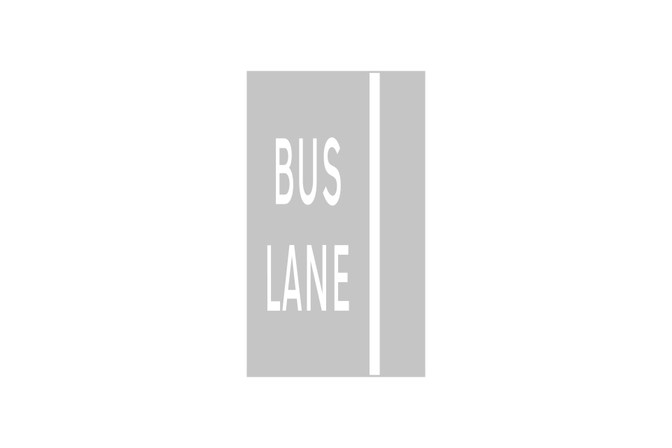
Bus lane road marking
Traffic may use both lanes at the end of a bus lane
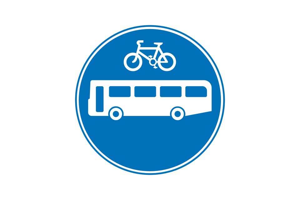
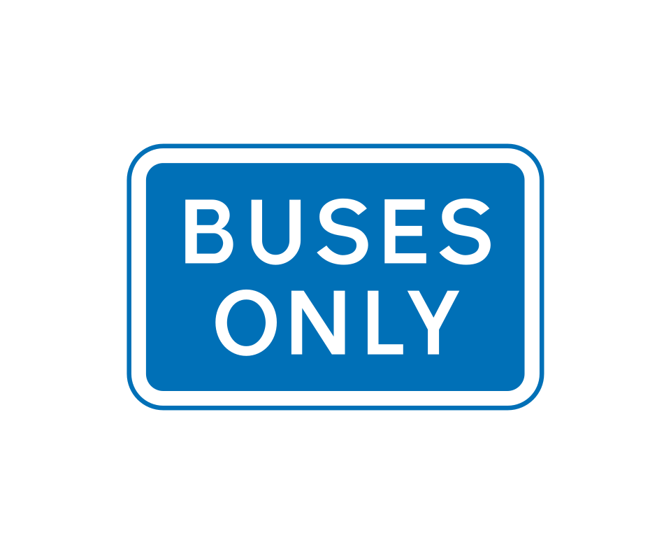
Route for buses and pedal cycles only (older signs may include an ‘Only’ plate)
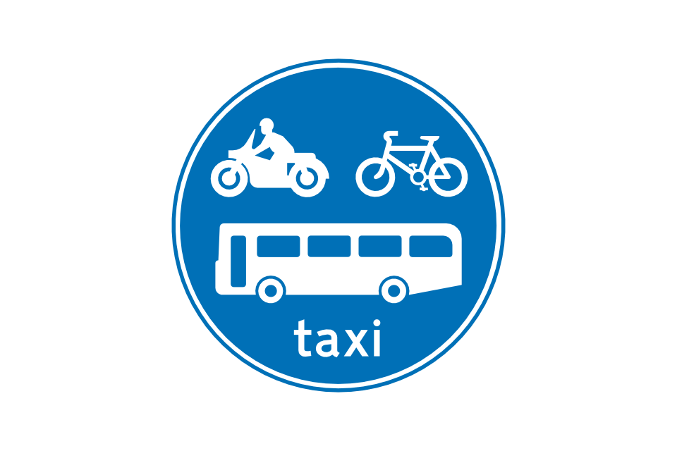
Route for buses, pedal cycles, solo motorcycles and taxis only
Where the route is reserved for buses and/or other permitted vehicles for part of the day only, this is indicated by a time plate
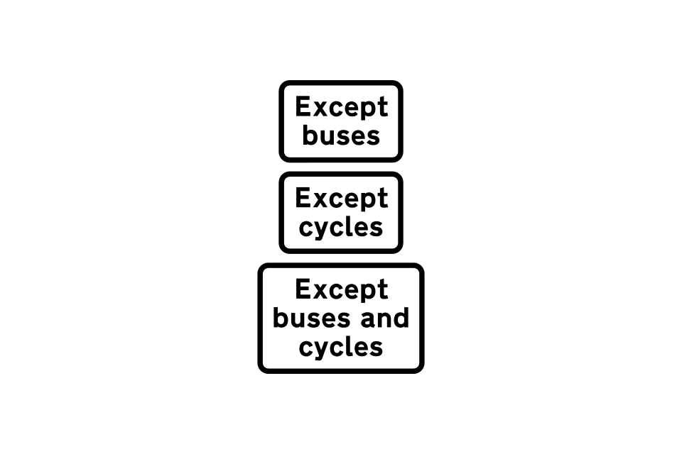
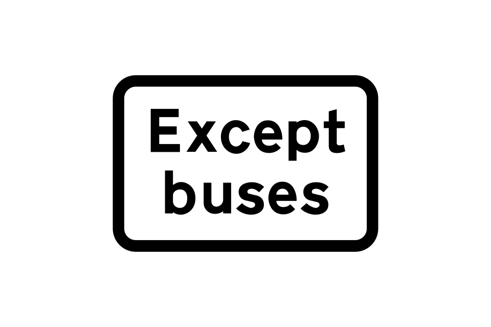
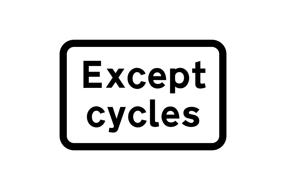
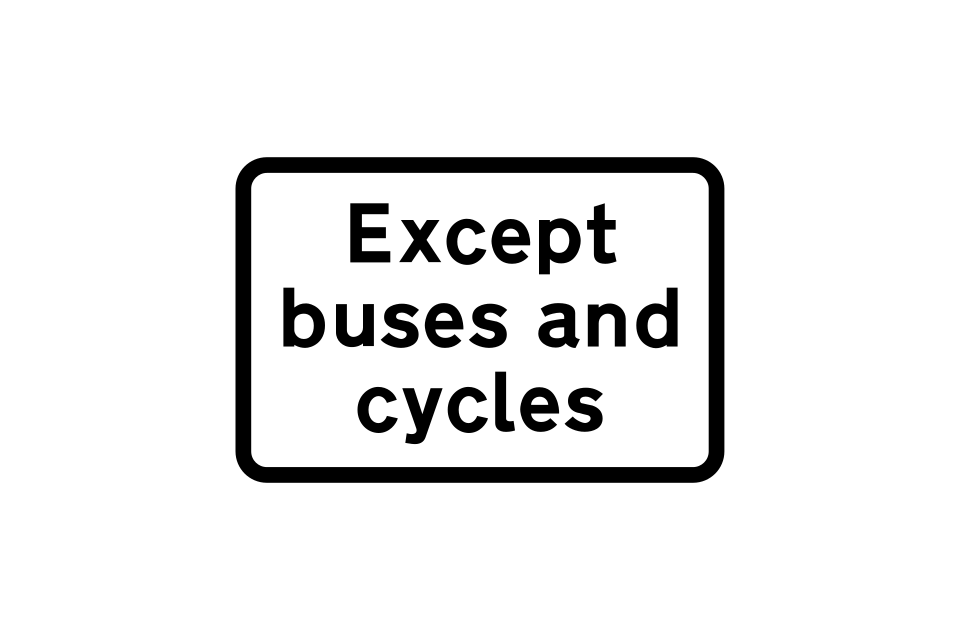
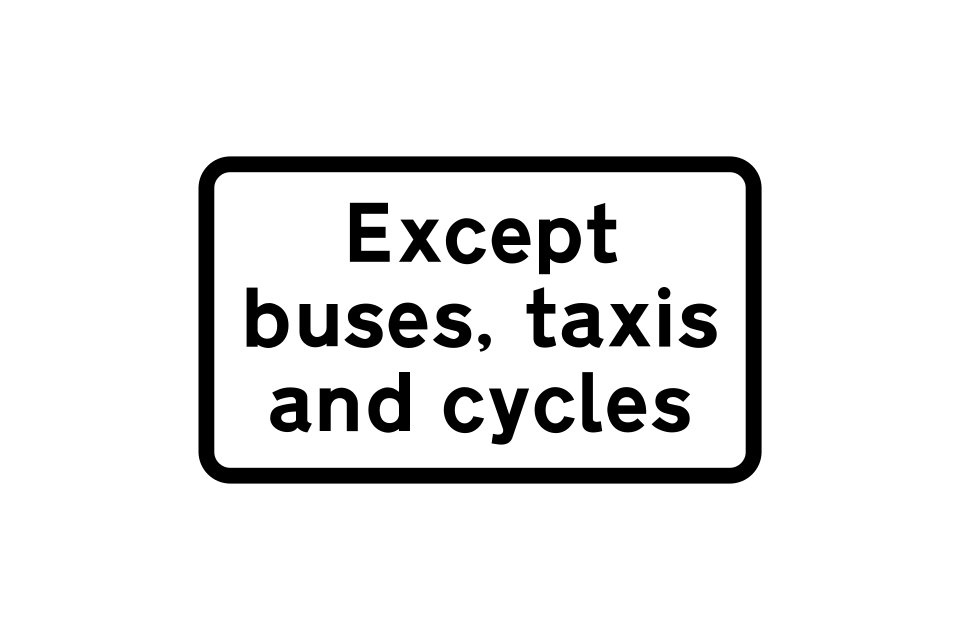
Plates used to indicate exemptions for buses, taxis and pedal cycles from prohibitions such as turn left ahead and no left turn
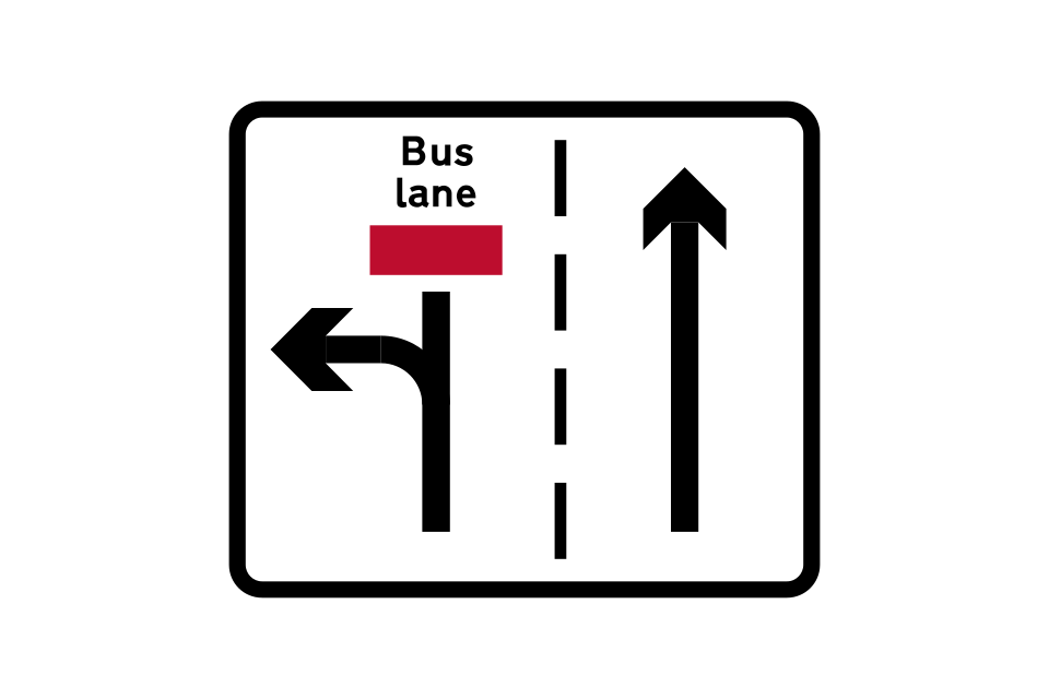
Where there is a break in a bus lane at a junction, other traffic may use the left-hand lane for turning left only
Bus lane on road at junction ahead
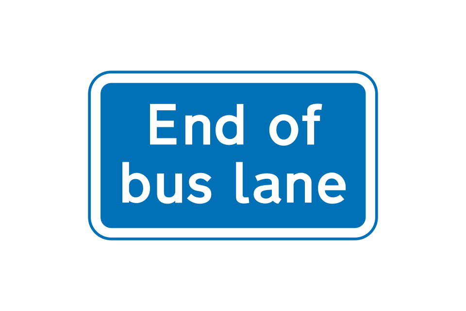
End of bus lane
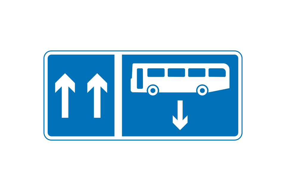
Contraflow bus lane (the upward arrows indicate the number of traffic lanes available)
Contraflow bus and pedal cycle lane on road at junction ahead
Plates used to indicate exemptions for buses, taxis and pedal cycles from prohibitions such as turn left ahead and no left turn
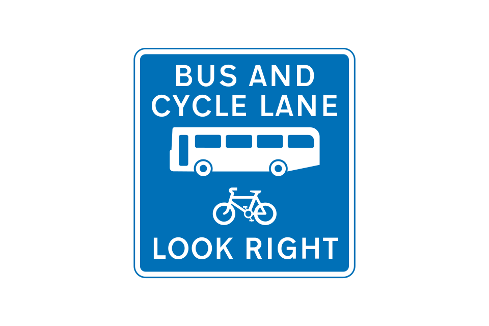
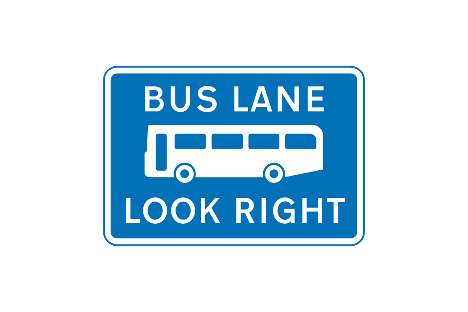
Reminder to pedestrians to look out for buses, or buses and pedal cycles, approaching from the right
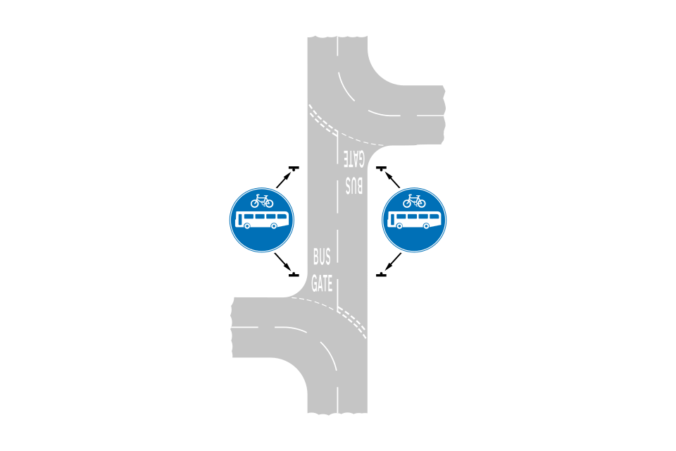
A bus gate is a short length of bus-only street
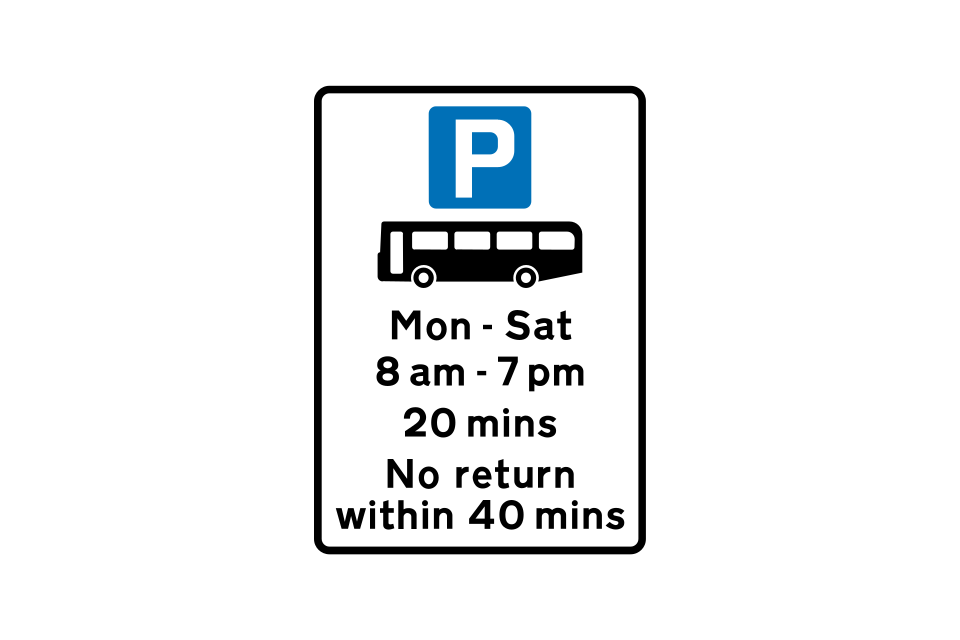
Parking place for buses only, during times shown (with time limit)
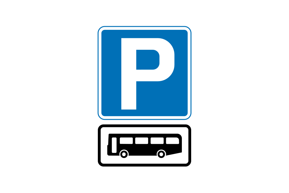
Parking place for buses only (no time limit)
Stopping place for buses
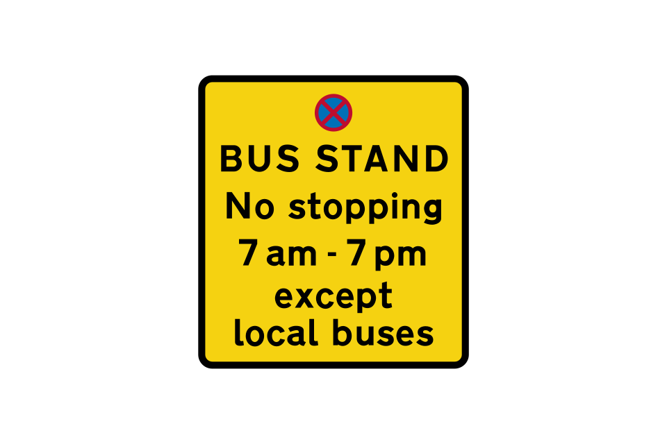
Place where local buses may stand, from which all other vehicles are prohibited during the times shown
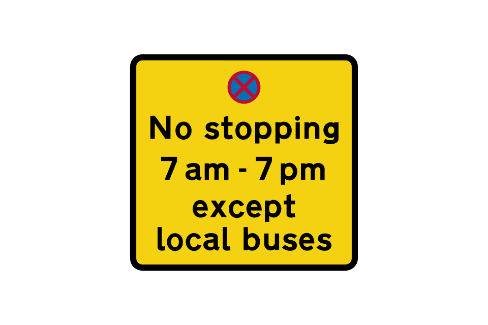
Stopping by vehicles other than local buses prohibited during the times shown
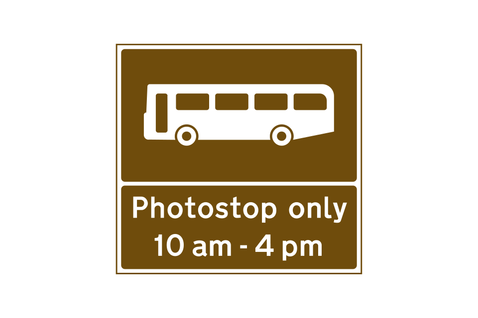
Stopping place for tourist buses to allow passengers to take photographs
Plates used to indicate exemptions for buses, taxis and pedal cycles from prohibitions such as turn left ahead and no left turn
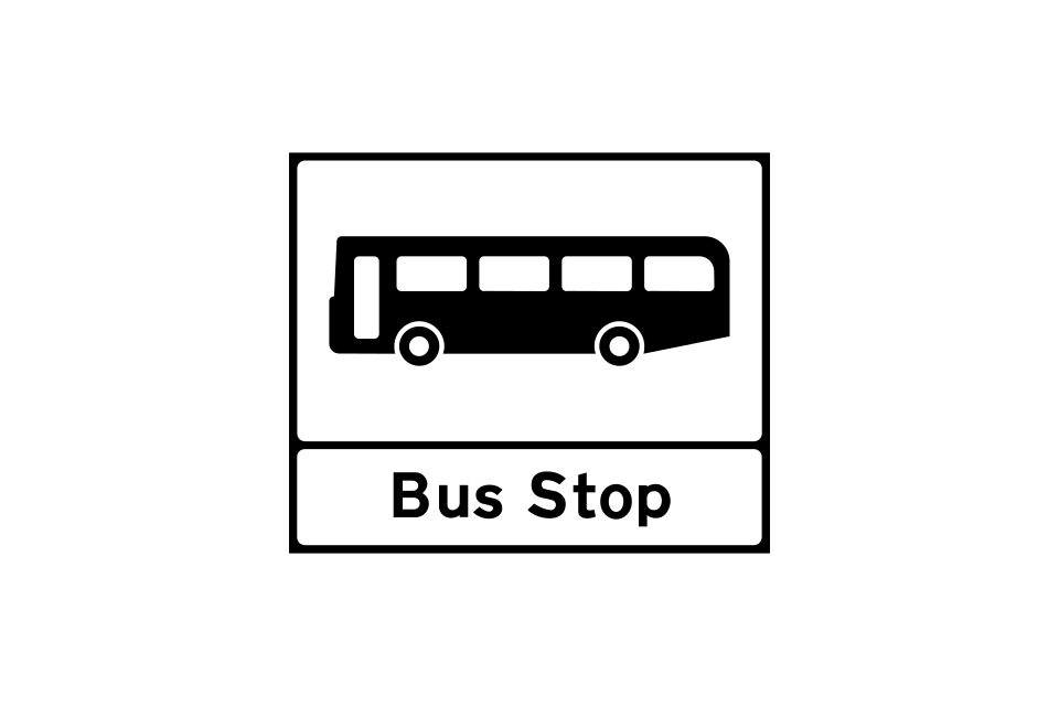
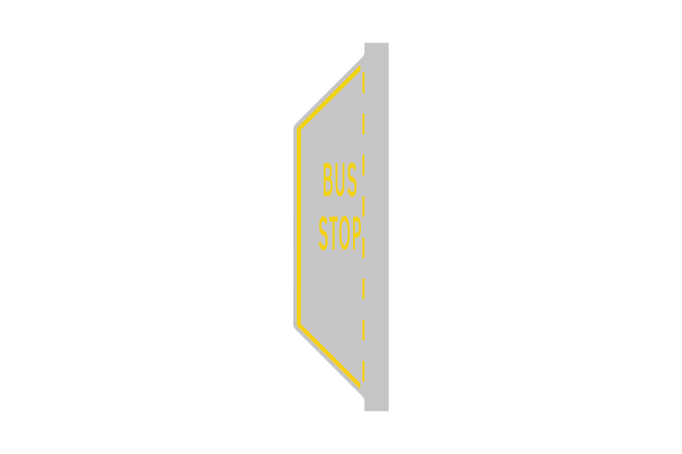
Bus stop
Bus stop in a lay-by
Entrance to a bus station, depot or garage
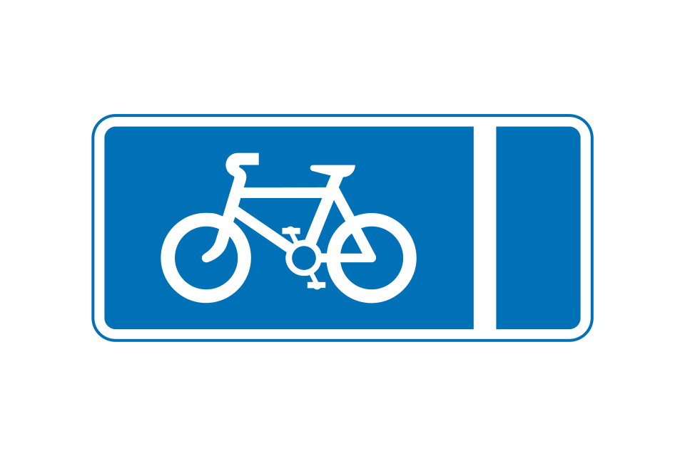
Mandatory with-flow pedal cycle lane ahead
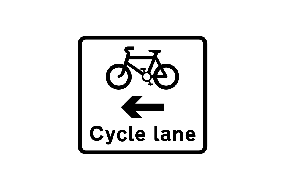
Mandatory with-flow pedal cycle lane
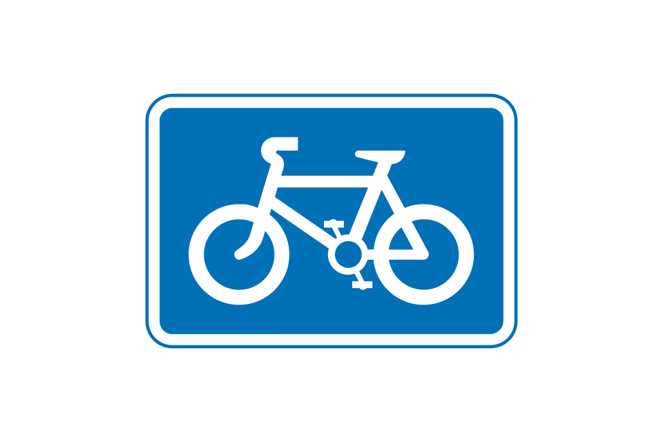
Route recommended for pedal cycles on the main carriageway of a road
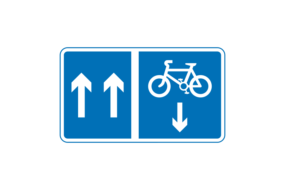
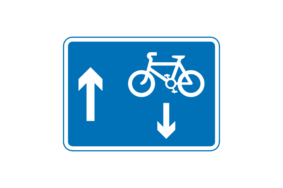
Mandatory contraflow pedal cycle lane (the upward arrows indicate the number of traffic lanes available)
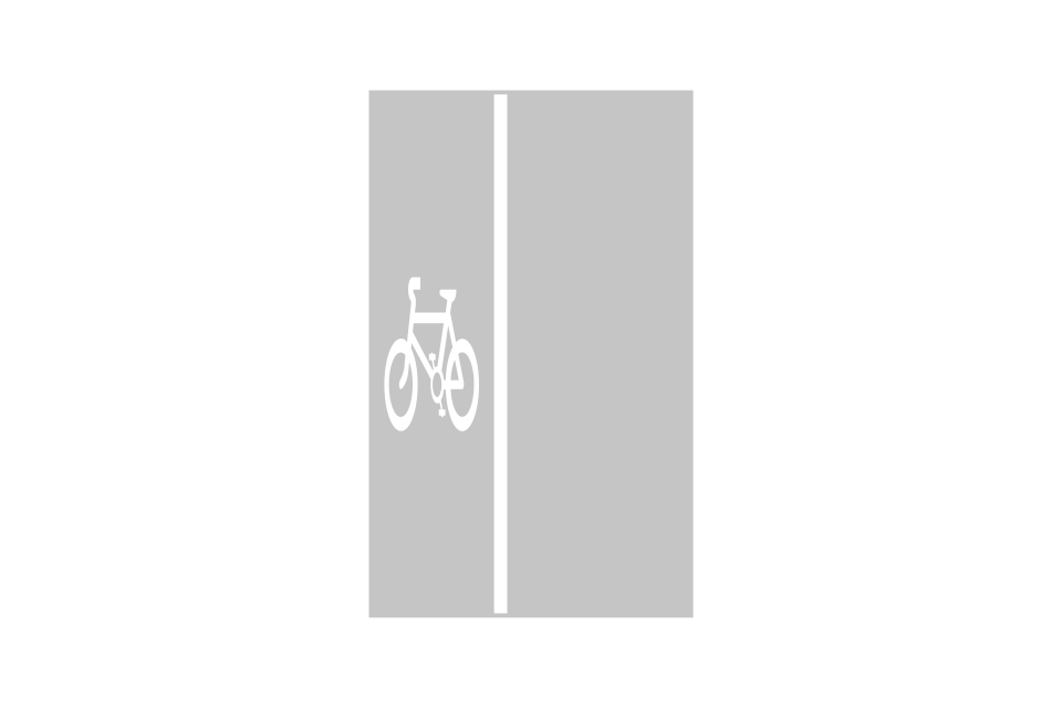
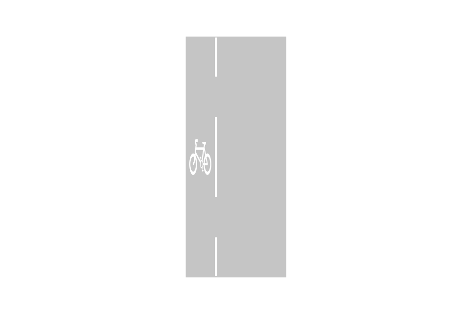
Road markings for a mandatory pedal cycle lane
Road markings for an advisory pedal cycle lane
Contraflow pedal cycles in a one-way street (other than a mandatory contraflow cycle lane)
Pedal cycle lane on road at junction ahead or (where ‘lane’ is varied to ‘track’) cycle track crossing road at junction ahead
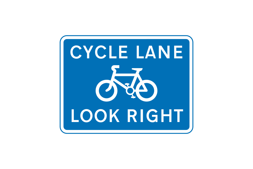
Reminder to pedestrians to look out for pedal cycles approaching from the right
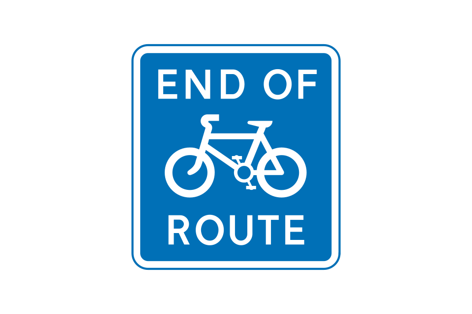
End of cycle lane, track or route
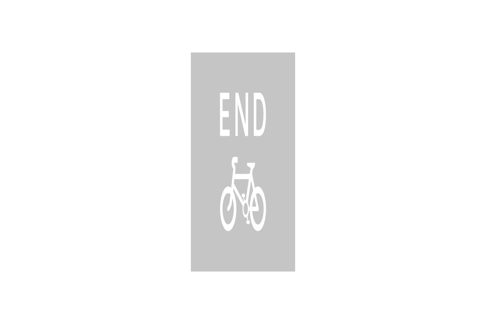
Road marking indicating the end of a cycle lane, track or route
Shared route for pedal cycles and pedestrians only
Separated track and path for pedal cycles and pedestrians
Route for pedal cycles only
Shared route for horses, pedestrians and pedal cycles only
Road marking separating cyclists and pedestrians on a shared route (may be a raised line up to 20 mm high)
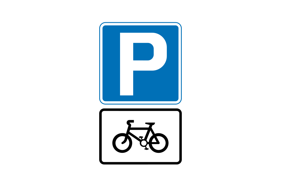
Parking place for pedal cycles
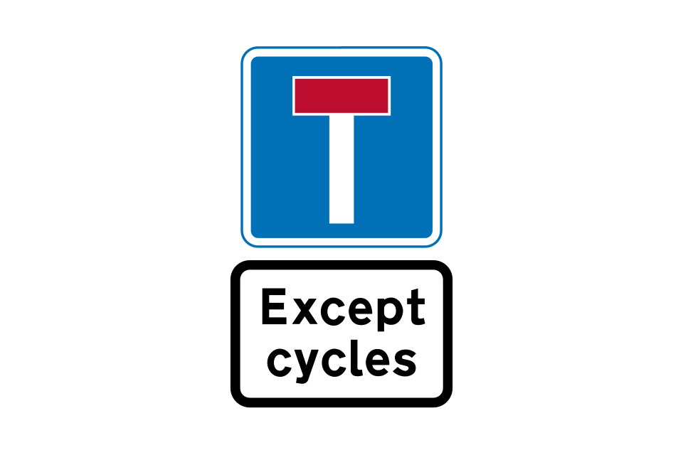
No through road except for pedal cycles
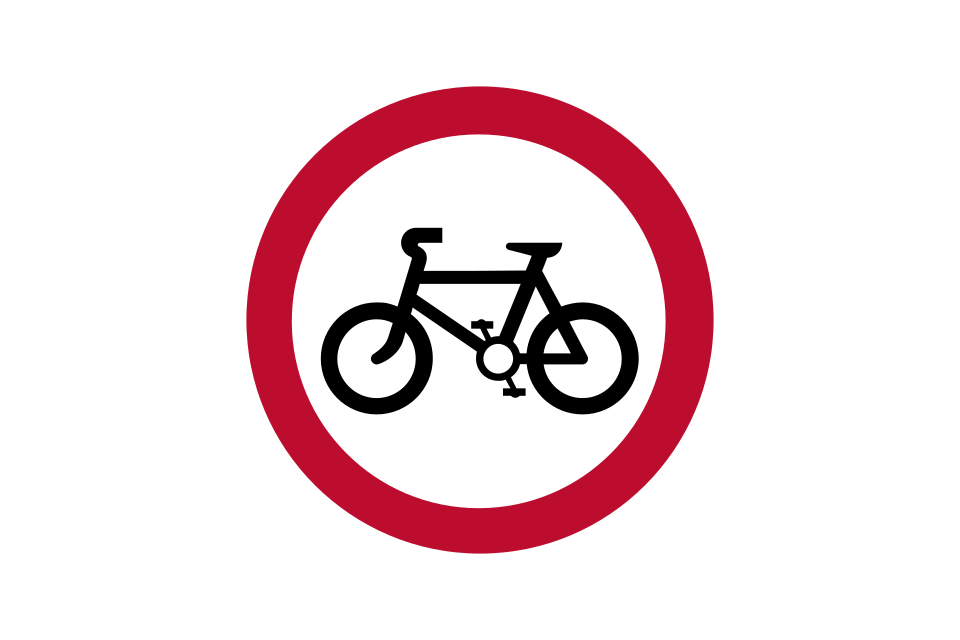
Riding of pedal cycles prohibited
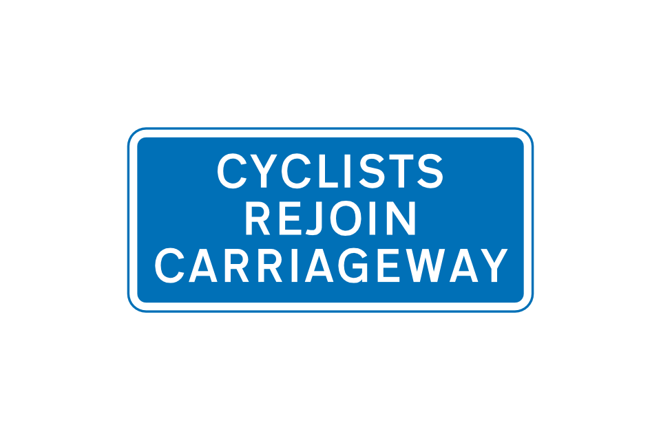
Pedal cyclists to rejoin main carriageway at the end of or break in a cycle track or route shared with pedestrians
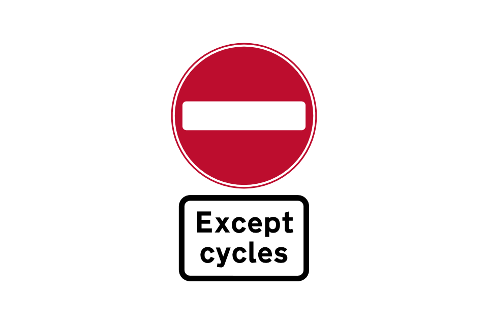
No entry for vehicular traffic except pedal cycles
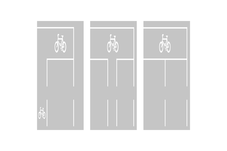
Advance stop line for pedal cycles at traffic signals
The yellow panels indicate that there are waiting restrictions within the zone
Signs without yellow panels are used where access may be more restrictive and where waiting restrictions, if any, are indicated by yellow lines within the zone

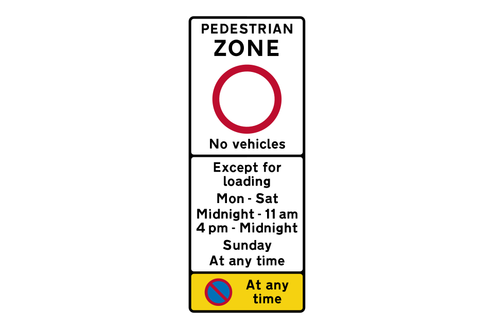
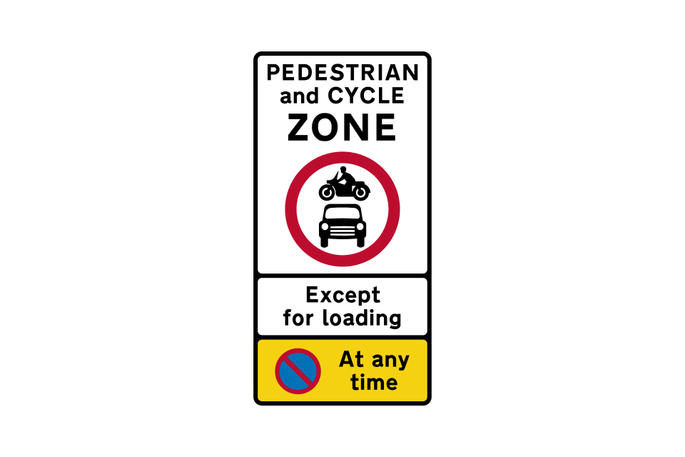
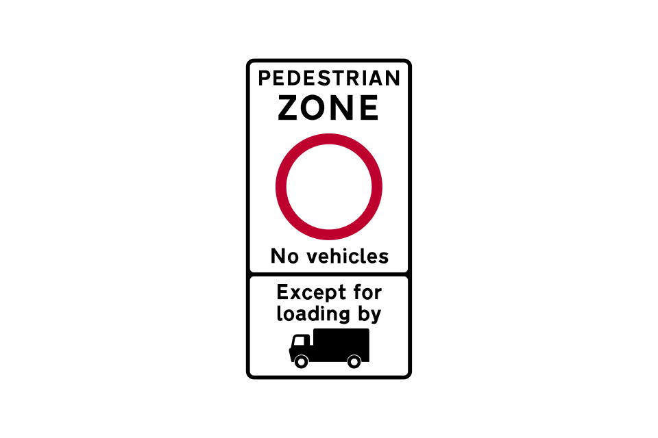
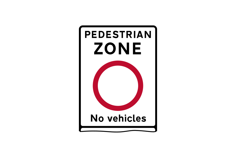
All vehicles, including ridden pedal cycles, prohibited
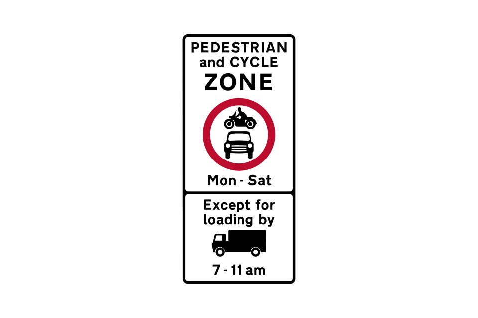
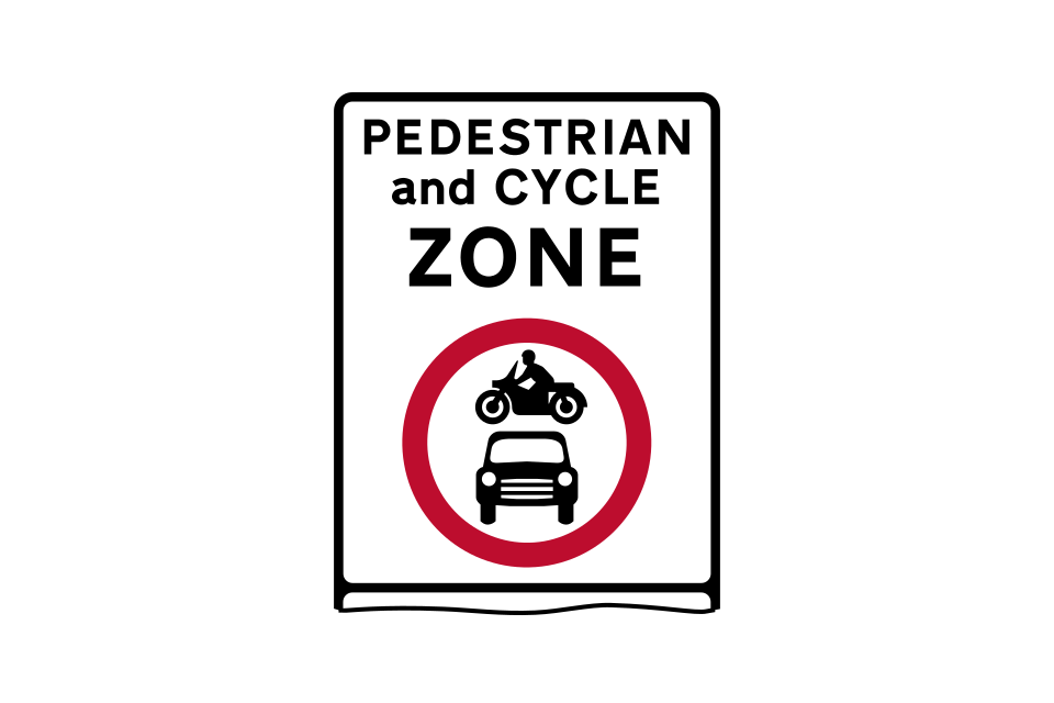
Ridden pedal cycles permitted within the zone
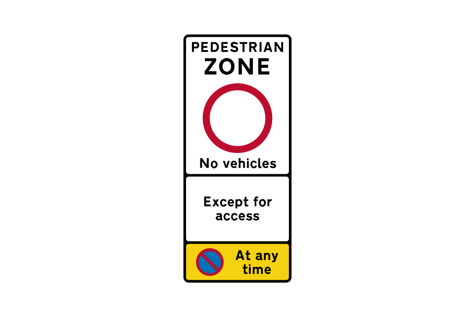
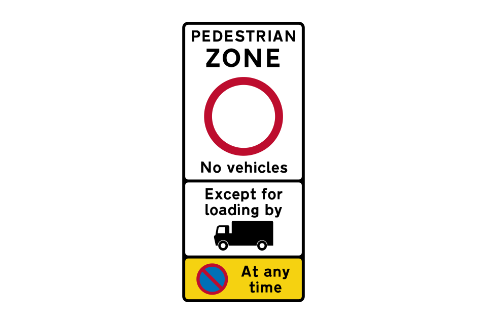
Example of a variable message zone entry sign showing alternative displays for the middle panel (exemptions)
Two examples of waiting restriction repeater signs within the zone
At the end of the zone, a ‘zone ends’ sign will be displayed
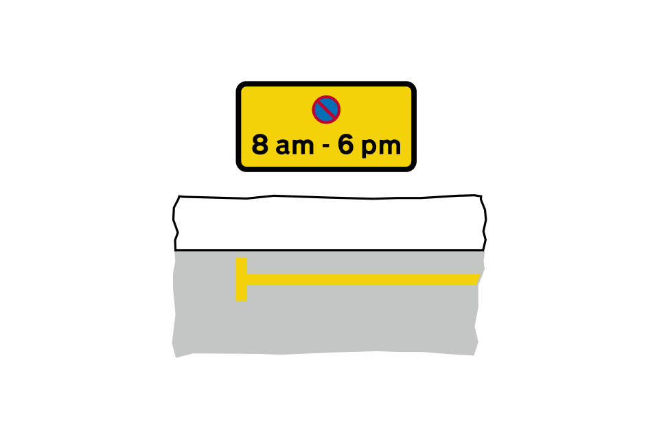
Waiting prohibited 24 hours a day, 7 days a week, throughout the year
Waiting prohibited between times shown on the sign
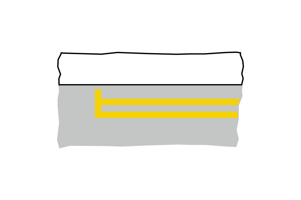
A double yellow line means no waiting at any time throughout the year
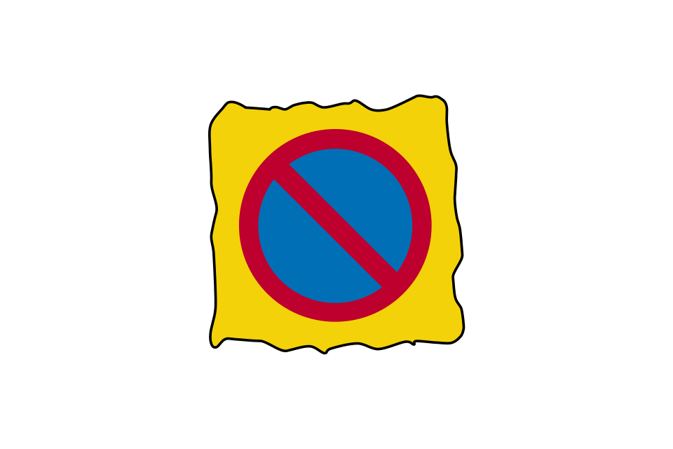
This ‘no waiting’ sign is used on portable signs to mark temporary waiting restrictions
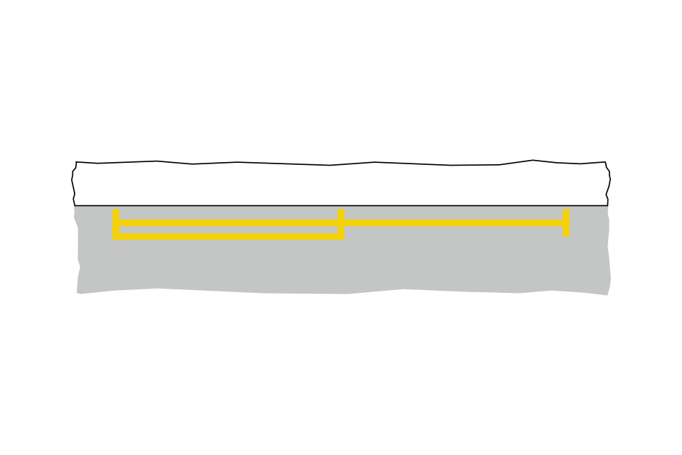
Length of road to be kept clear of stationary vehicles, at entrances to off-street premises or where the kerb is dropped to provide a convenient crossing place for pedestrians
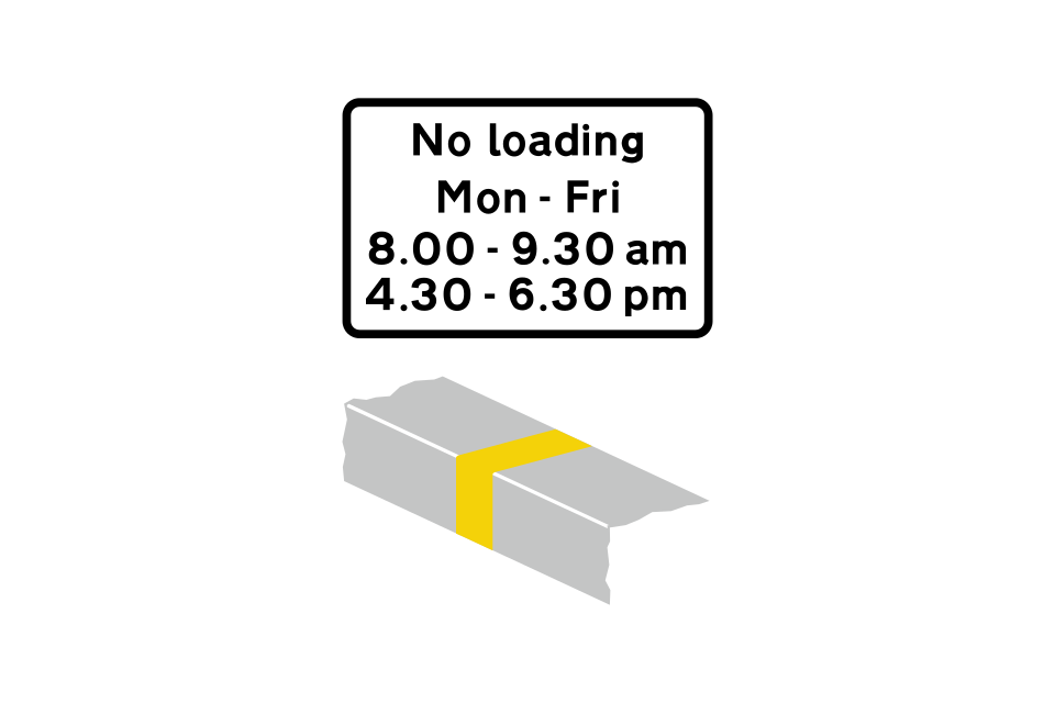
Loading prohibited between times shown on the sign
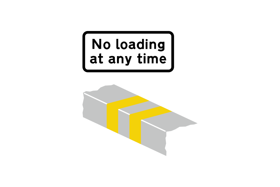
No loading at any time throughout the year
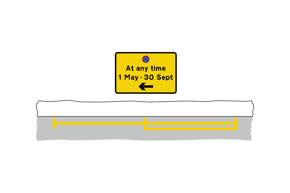
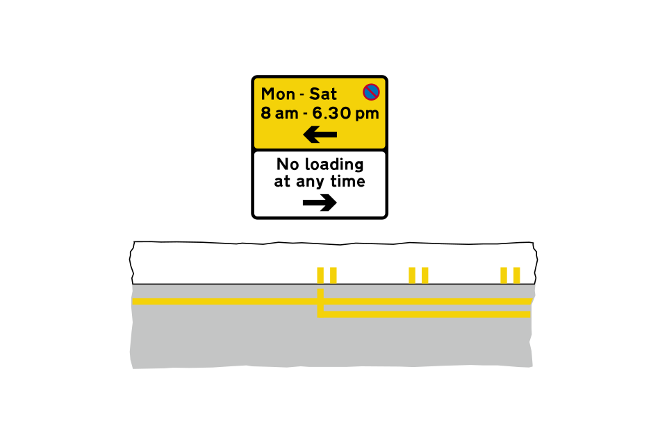
No waiting at any time during the summer months in the direction of the arrow
No waiting at any time throughout the year in both directions
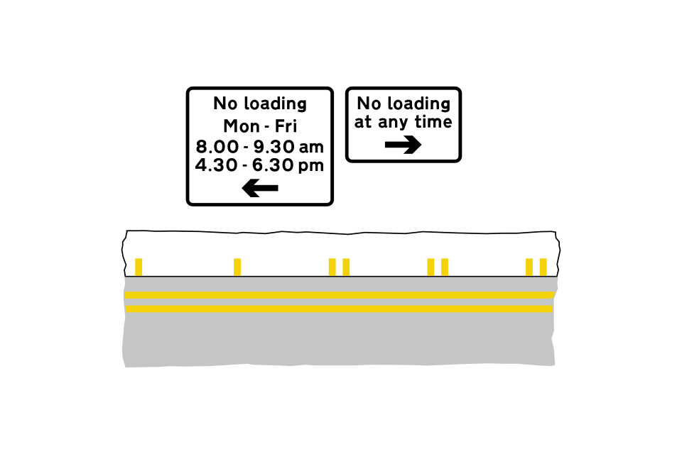
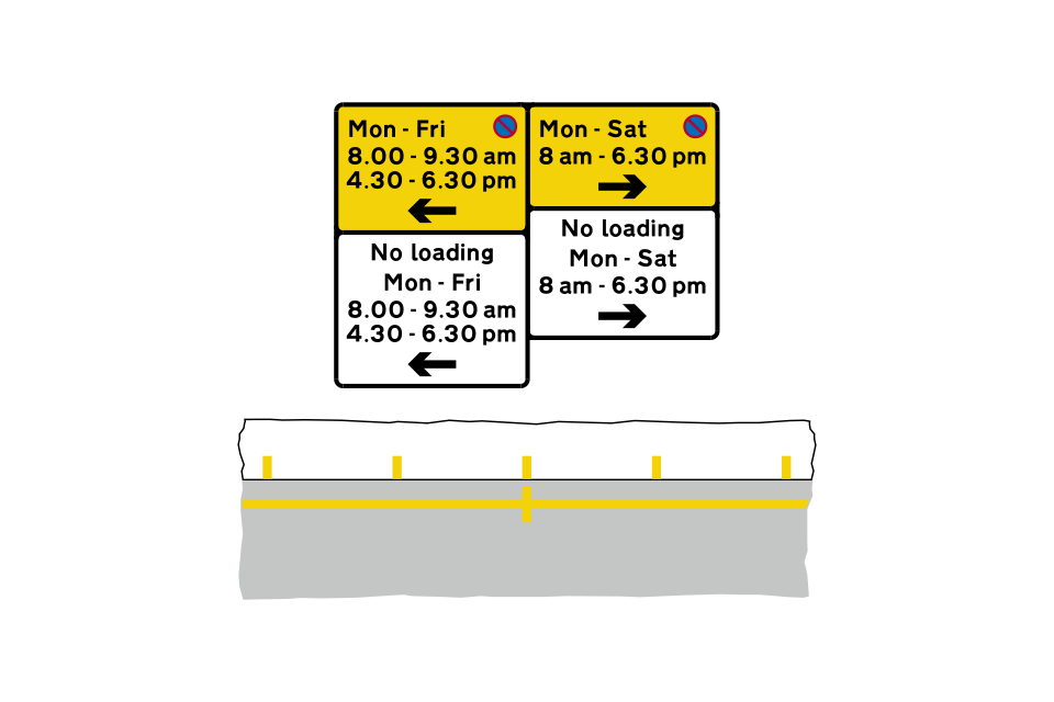
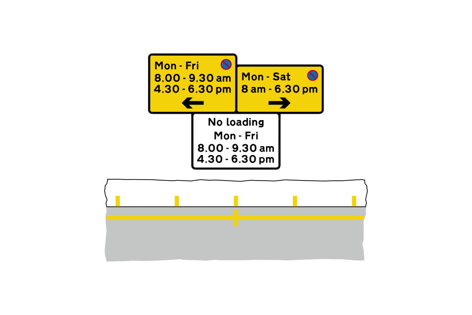
No waiting and loading to the left during morning and evening peak hours on the days shown
No waiting to the left during the days and times indicated
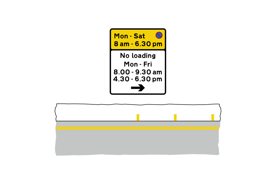
The prohibition of waiting shown on the upper yellow panel on the plate applies in both directions
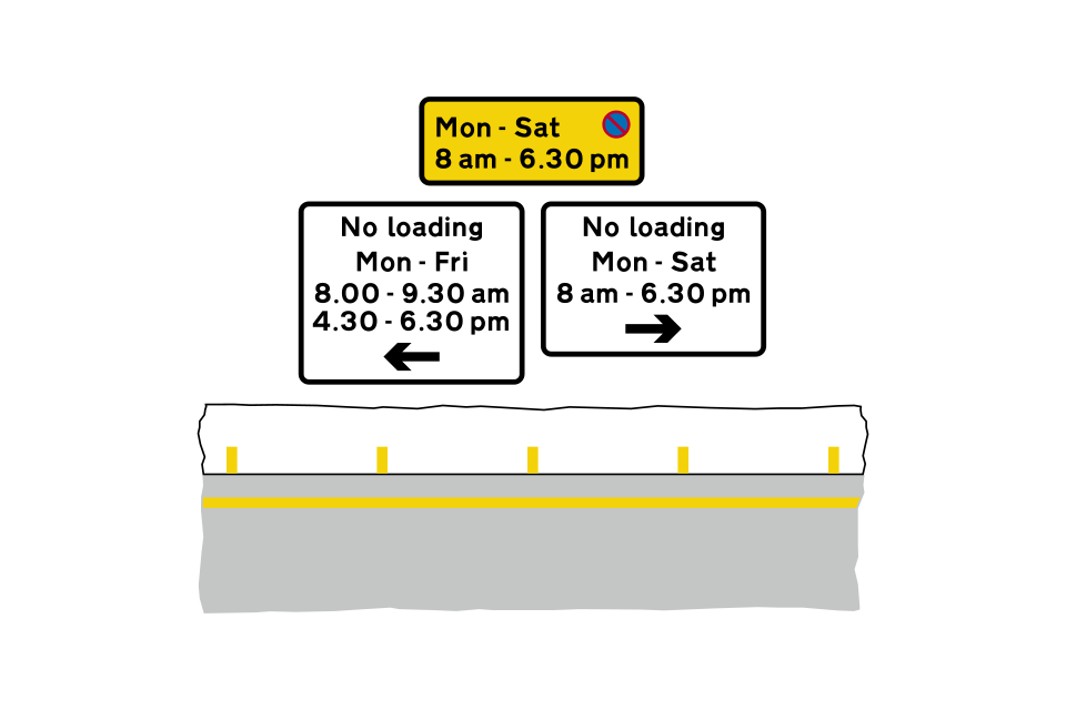
The prohibition of waiting shown on the yellow plate applies in both directions
No waiting to the left during morning and evening peak hours
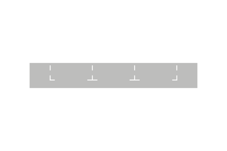
Parking bay with individual spaces (parallel to the kerb)
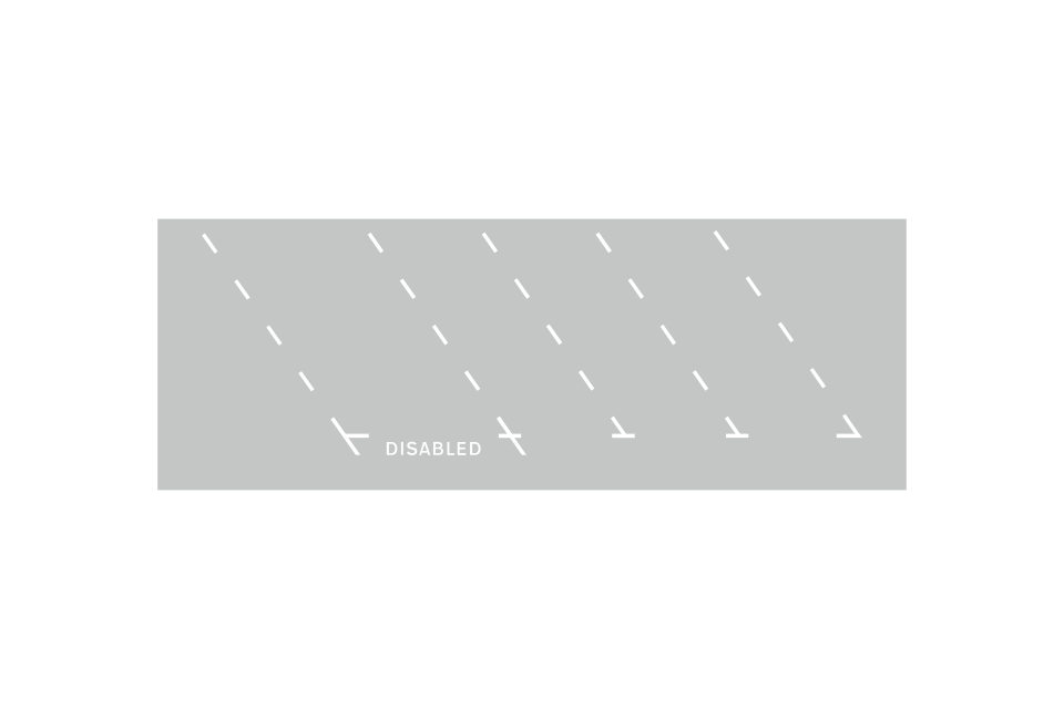
Parking bay with individual spaces (echelon)
Continuous parking bay adjacent to the kerb (words may be added outside the bay to describe the type of parking)
Continuous parking bay in the centre of the carriageway (the words are omitted where there is no restriction on the type of user)
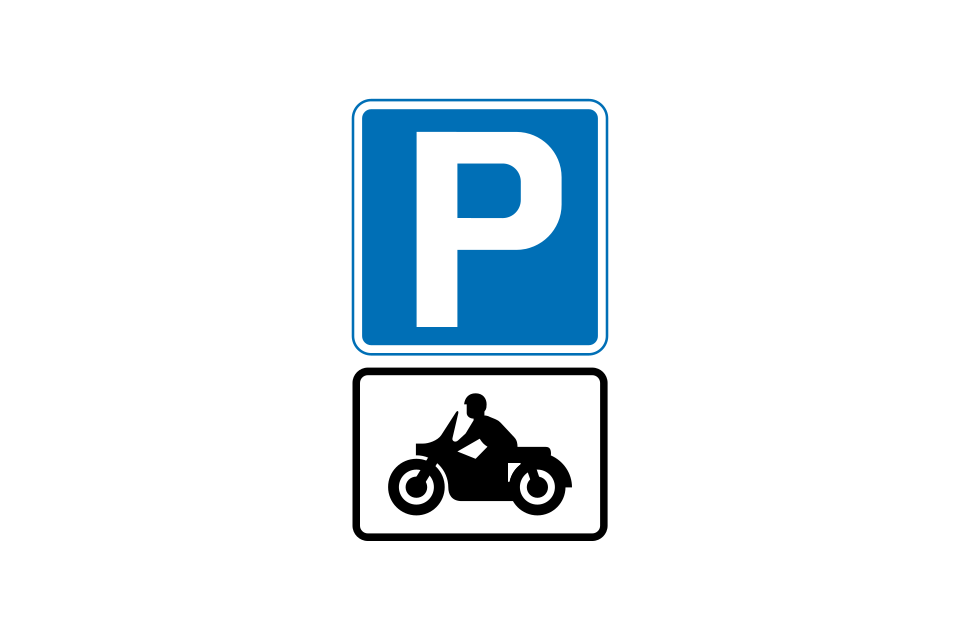
Solo motorcycles
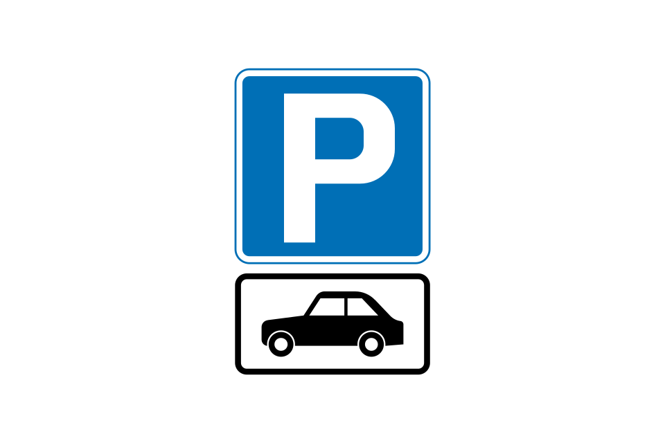
Motor cars
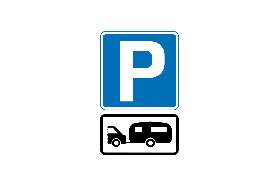
Car and caravan, or motor caravan
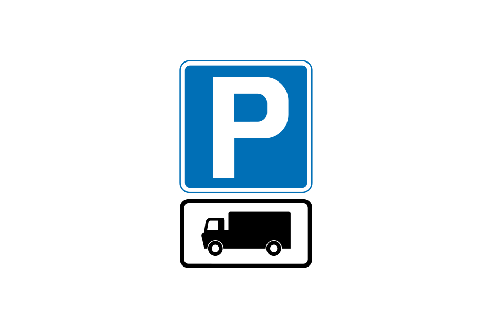
Goods vehicles
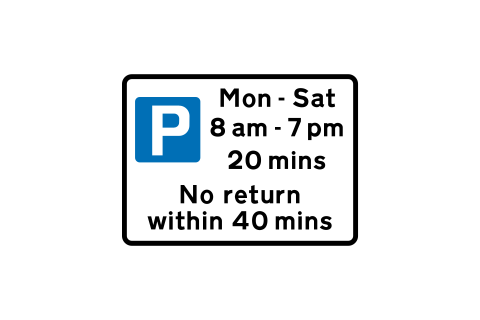
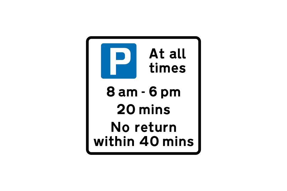
Free parking for all vehicles from Monday to Saturday between 8 am and 7 pm, with a 20-minute time limit (no limit outside those times)
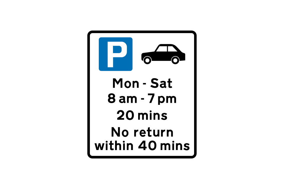
Free parking for motor cars only, from Monday to Saturday between 8 am and 7 pm, with a 20-minute time limit
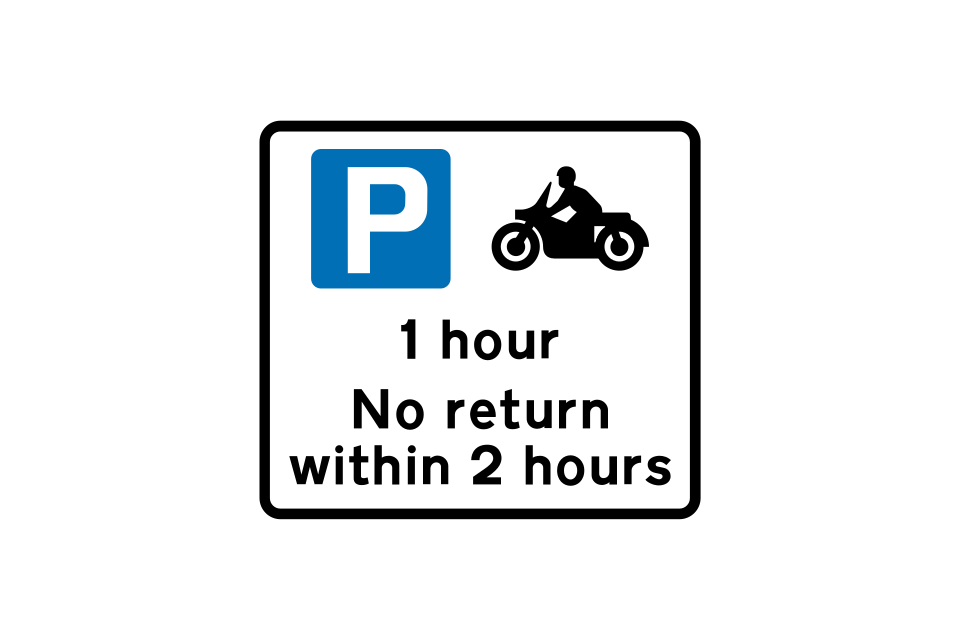
Free parking for solo motorcycles only, with a one-hour limit at all times
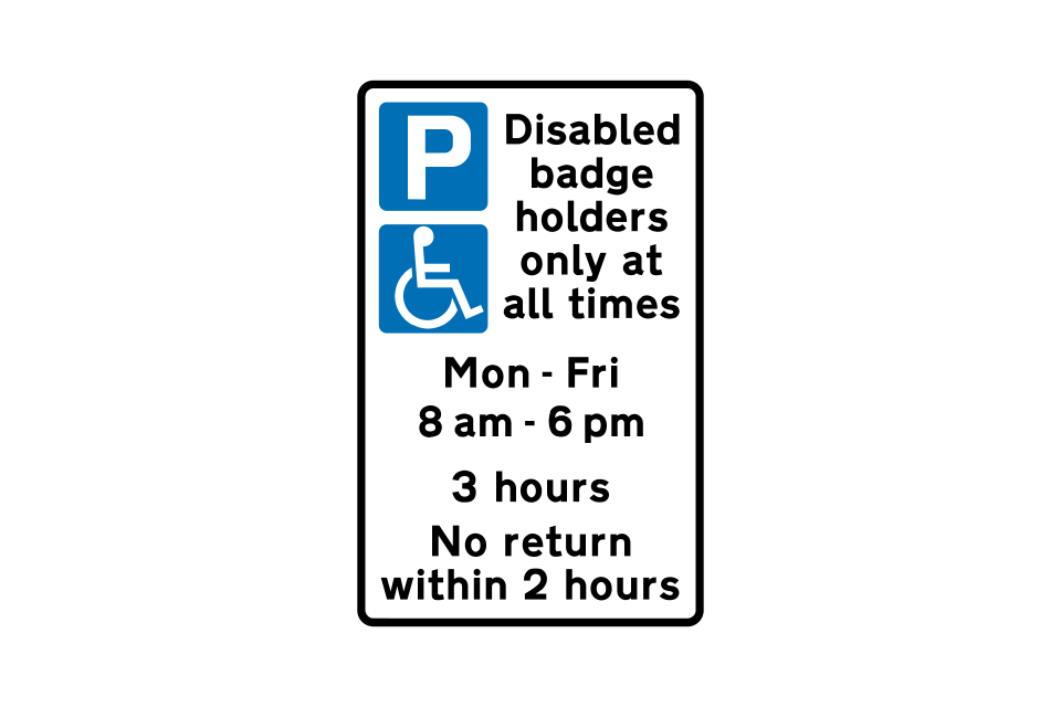
Parking for disabled badge holders only, at all times
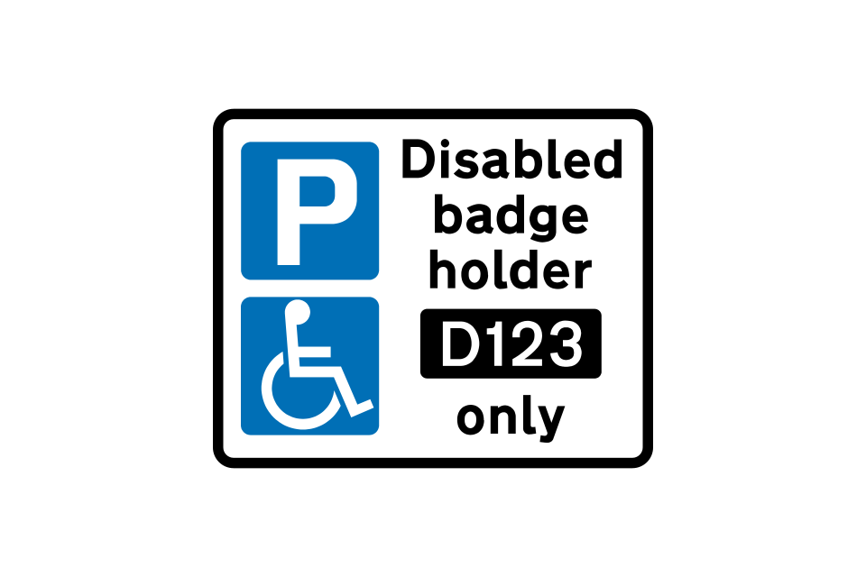
Parking for a specific disabled badge holder with permit ‘D123’
Parking for disabled badge holders only, at all times
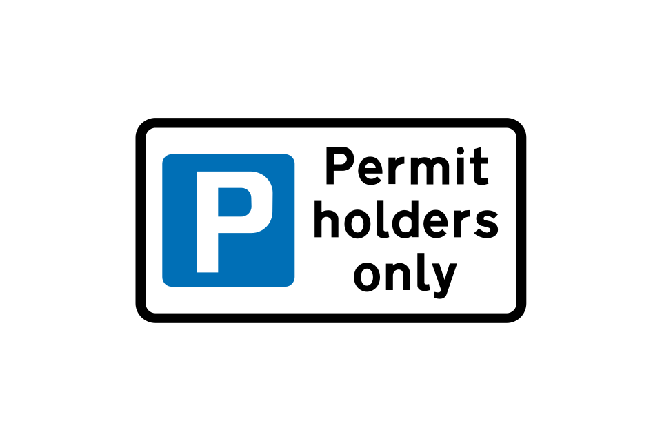
Parking for permit holders only, at all times
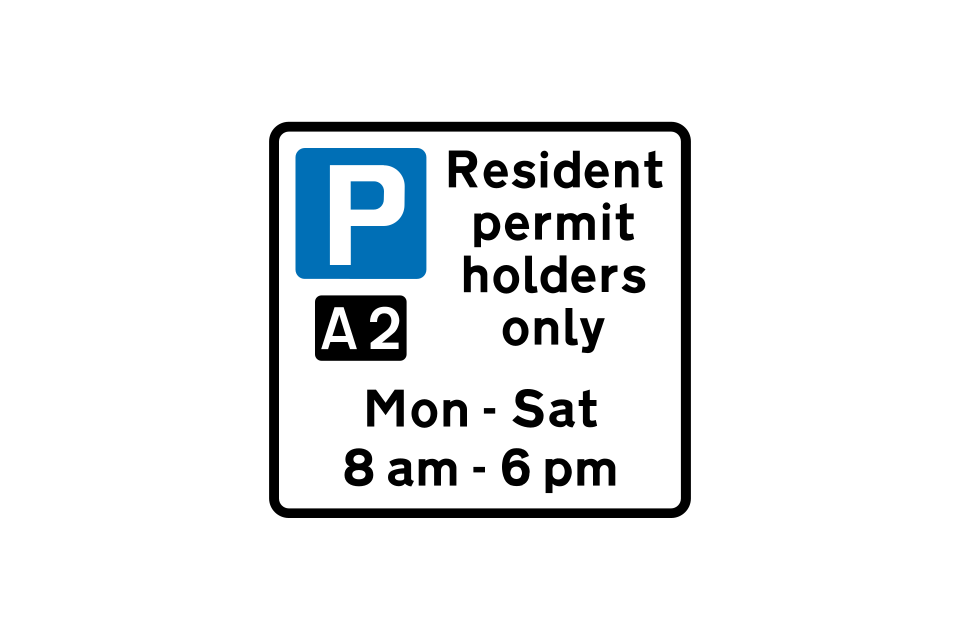
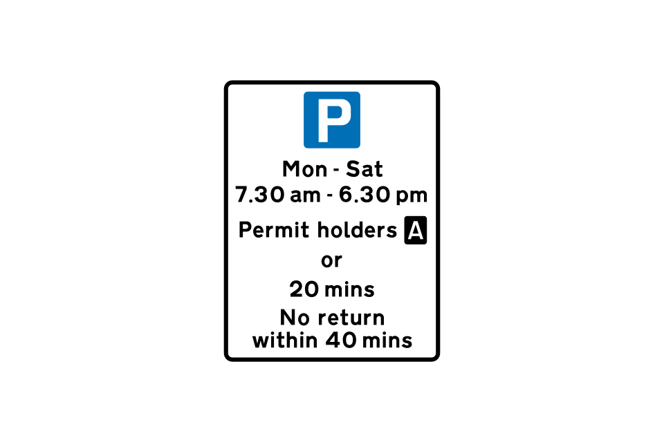
Parking for holders of permit ‘A2’ only, from Monday to Saturday between 8 am and 6 pm
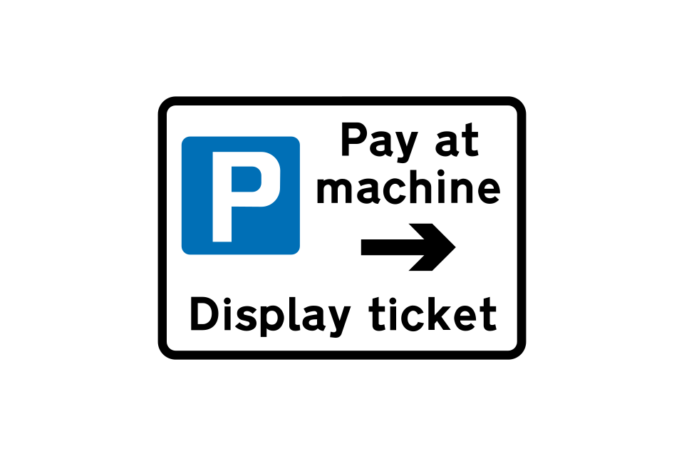
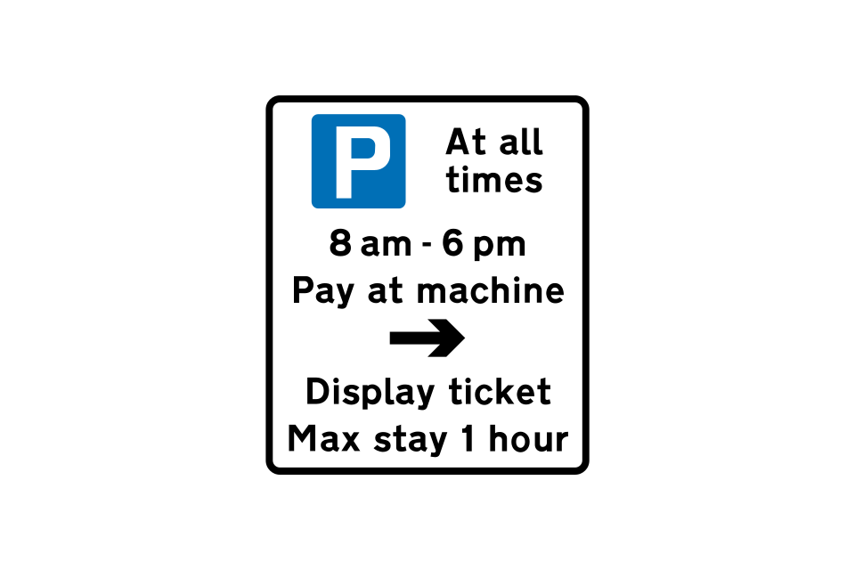
On-street pay and display parking (the arrow points towards the ticket machine)
Location of ticket machine for on-street pay and display parking
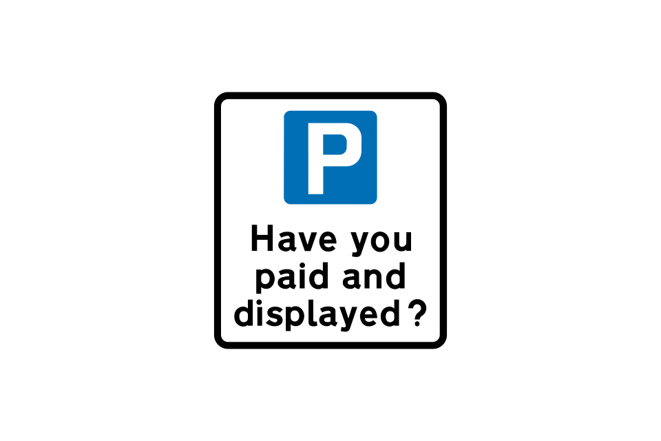
Reminder to pay and display at on-street parking place
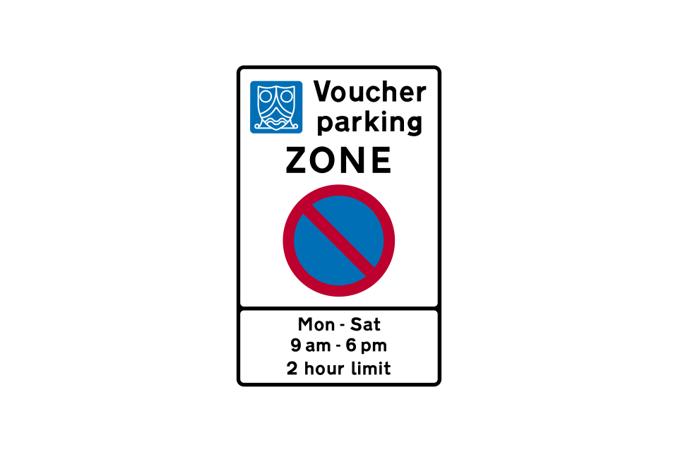
Pre-paid voucher parking only, from Monday to Saturday between 9 am and 6 pm, with a two-hour time limit (lower panel may give details of voucher)
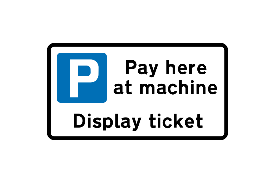
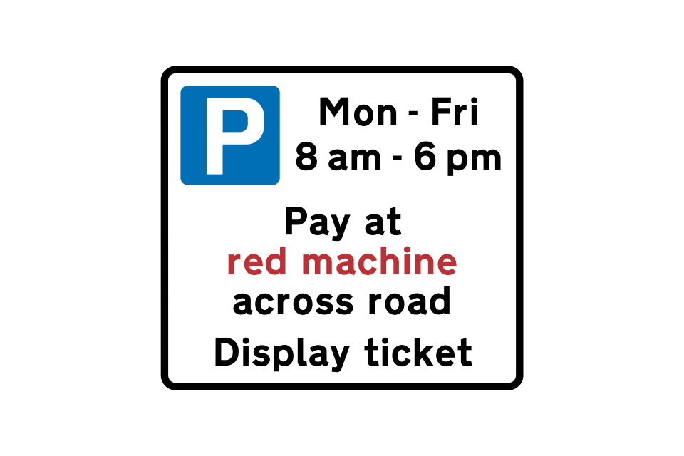
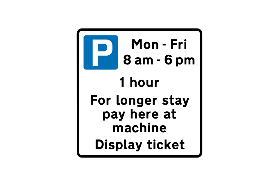
On-street pay and display parking where payment must be made at a machine
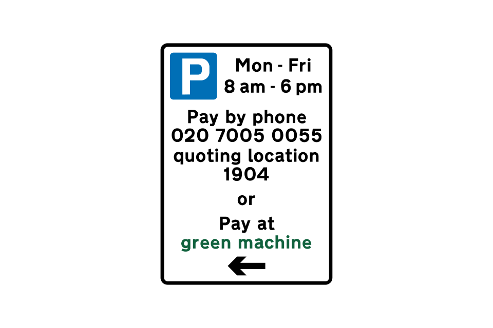
On-street parking where payment may be made by phone or at a machine
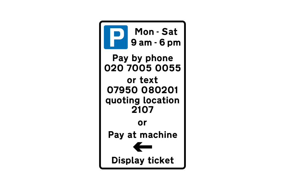
On-street parking where payment may be made by phone, text or at a machine
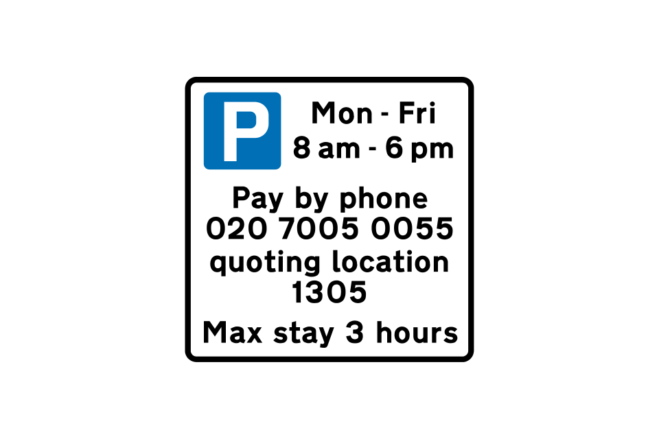
On-street parking where payment must be made by phone
On-street pay and display parking where first hour is free
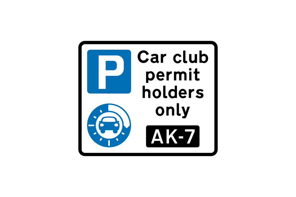
Parking for car club permit holders ‘AK-7’ only
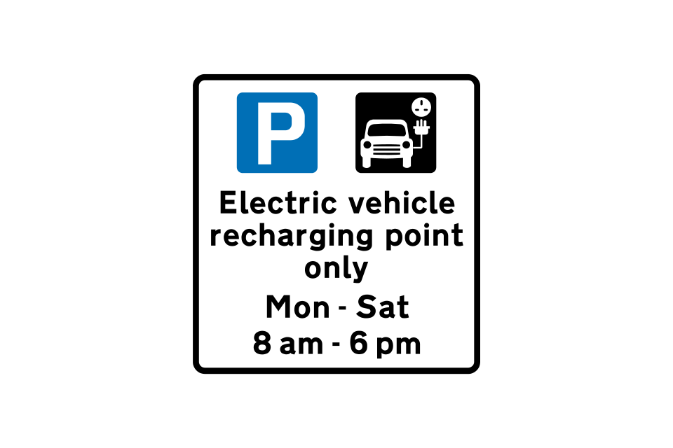
Parking for electric vehicle recharging only during times shown (sign may indicate permit holders only)
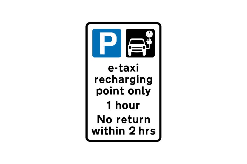
Parking for electric taxi recharging only
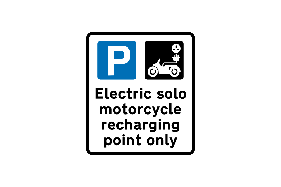
Parking for electric solo motorcycle recharging only (sign may indicate permit holders only)
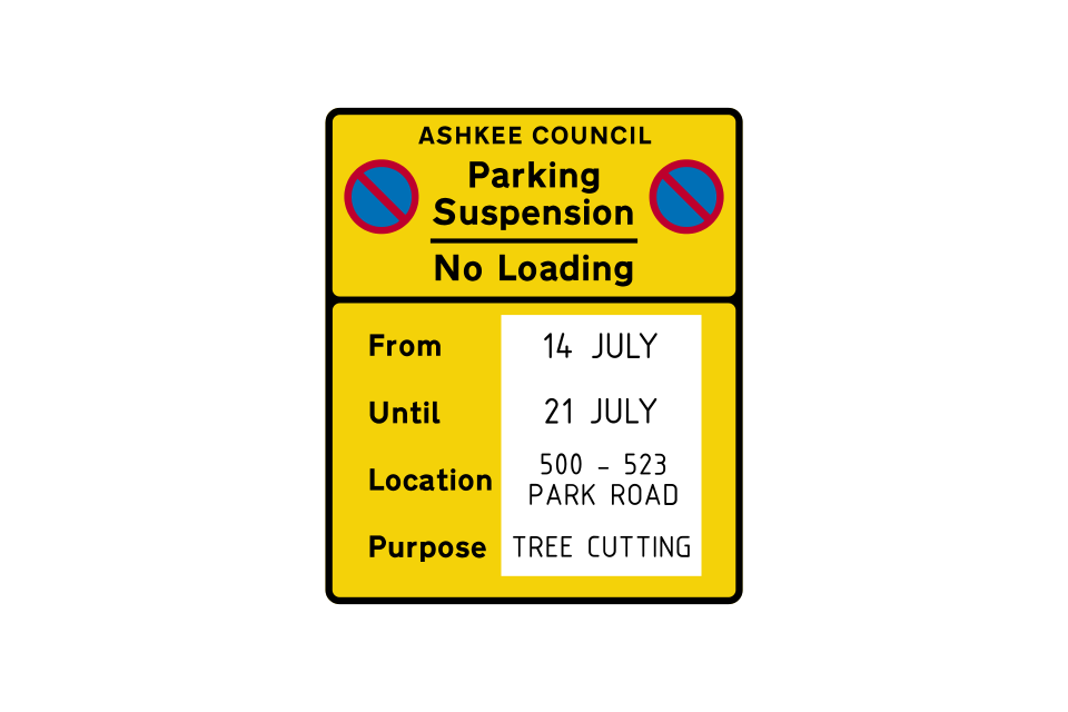
Temporary sign suspending a parking or loading bay to enable works to be carried out
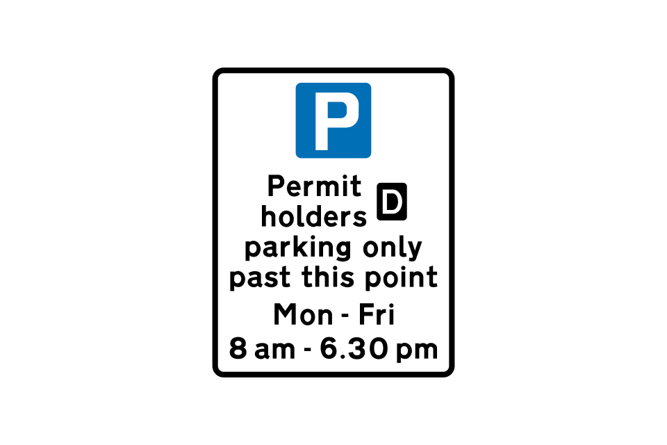
Parking for permit holders only in the street or streets beyond this sign, during the times shown
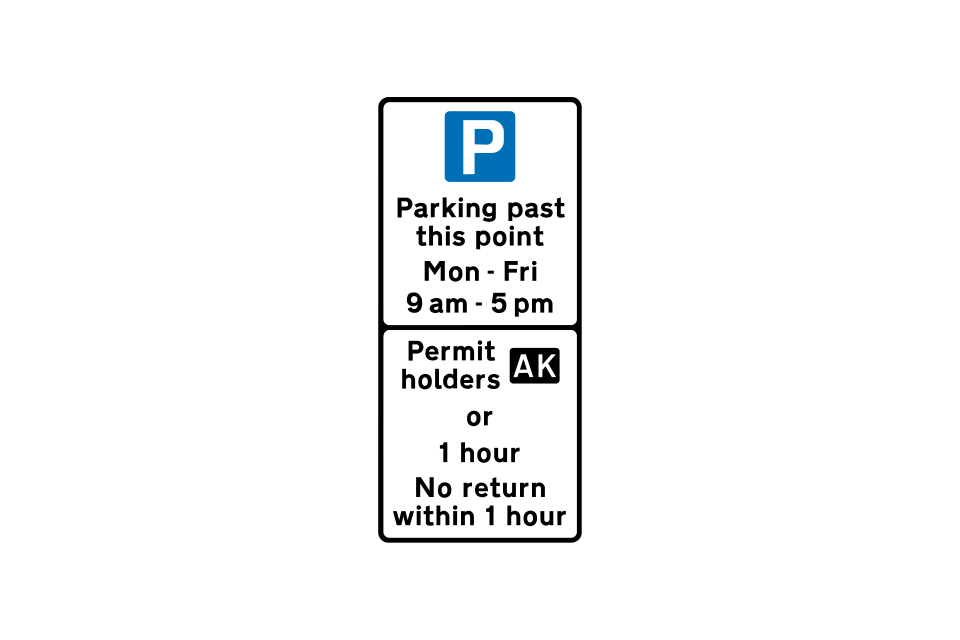
Parking for permit holders only in named street, except where parking bays have been provided for other users
The parking controls in the street or streets beyond this sign apply from Monday to Friday between 9 am and 5 pm
The parking controls in the street or streets beyond this sign apply at all times
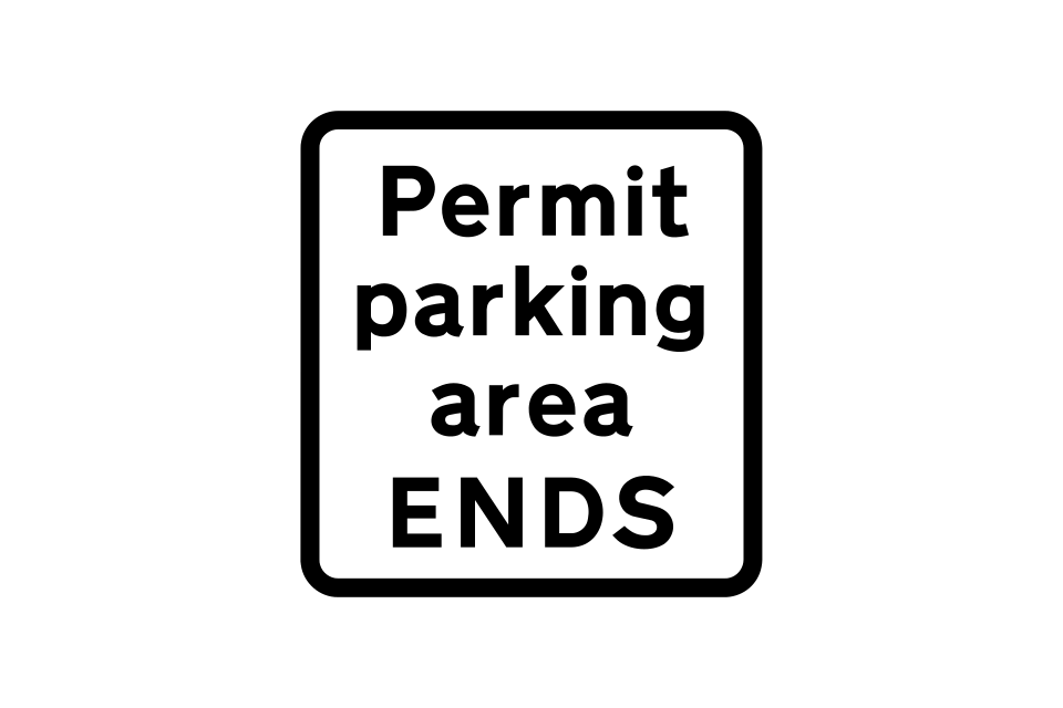
End of permit parking area
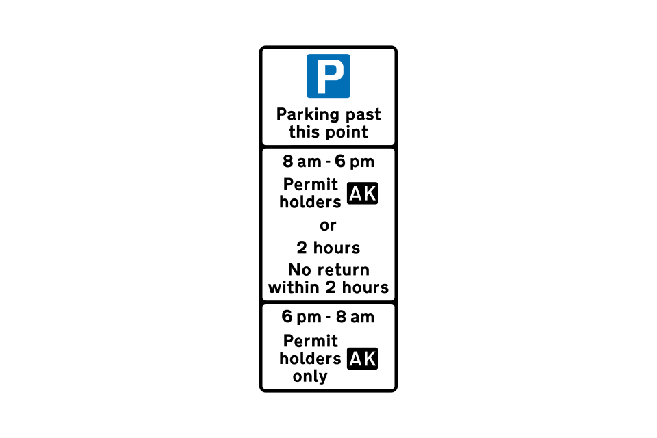
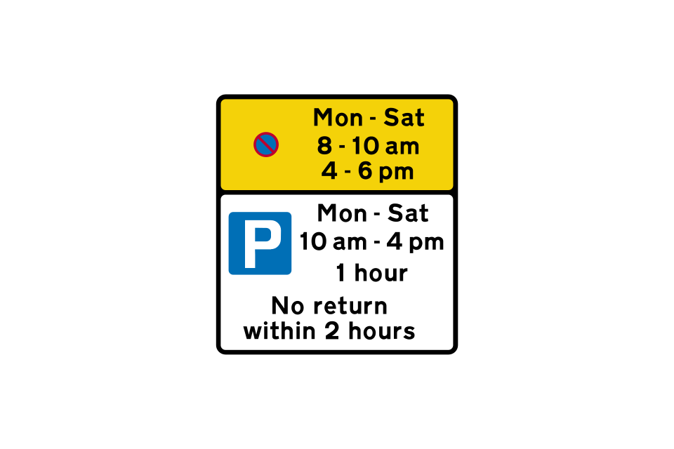
The upper panel indicates that waiting is prohibited during the morning and evening peak hours (a single yellow line will run through the bay)
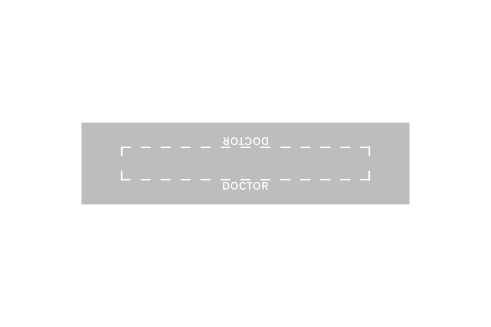
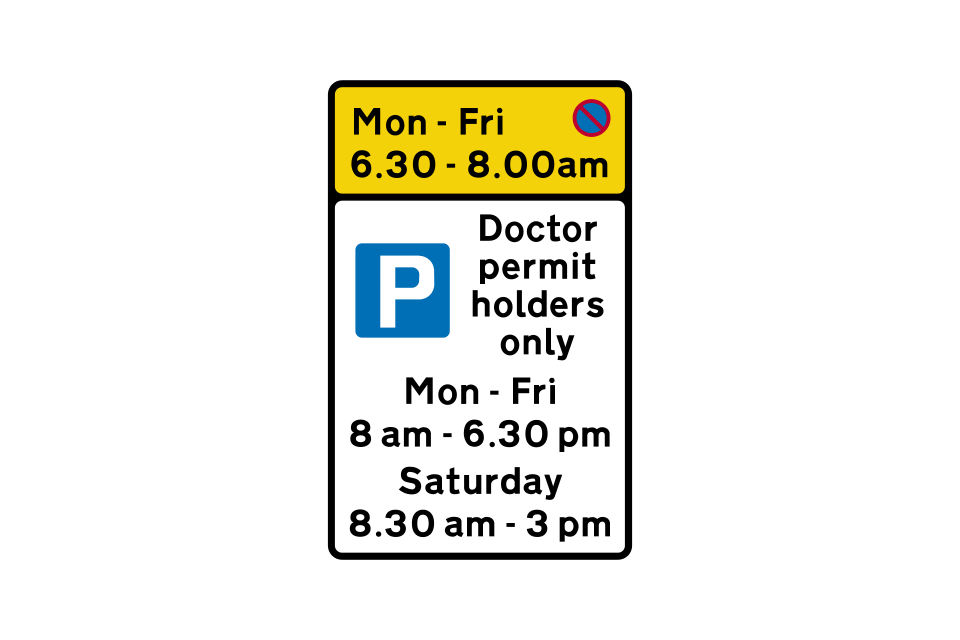
This sign indicates a parking place provided for doctors during the daytime, with a prohibition of waiting between 6
The top panel indicates that waiting is prohibited during the morning and evening peak hours (a single yellow line will run through the bay)
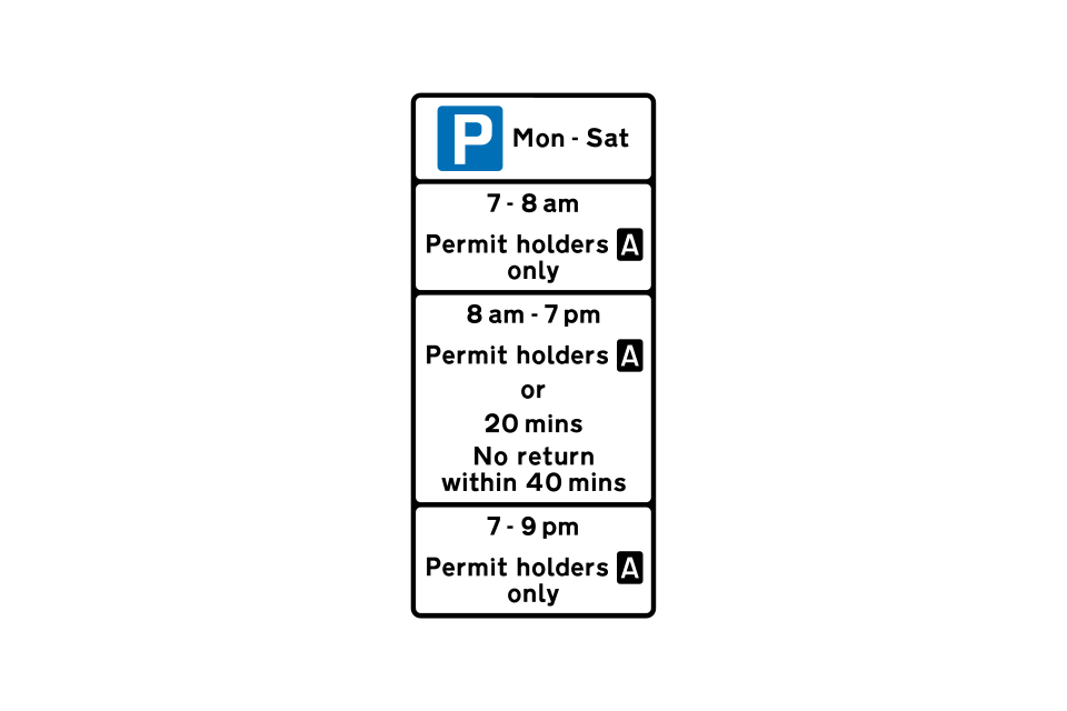
The top panel indicates that the parking controls apply from Monday to Saturday
The parking controls apply from Monday to Saturday between 7
The parking bay is reserved for permit holders, without time limit, at all times
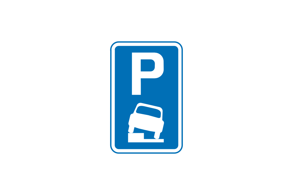
Vehicles may be parked partially on the verge or footway
Vehicles may be parked wholly on the verge or footway
Vehicles may be parked partially on the verge or footway during the times shown
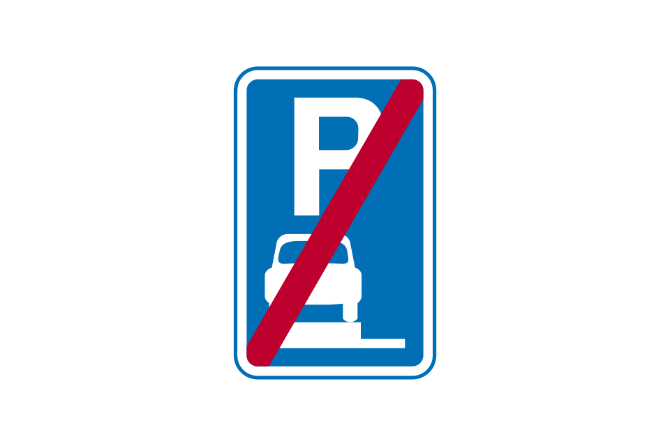
End of verge or footway parking
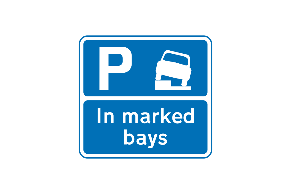
Vehicles may be parked partially on the footway in marked bays only
Vehicles may be parked partially on the verge or footway, with a one-hour time limit
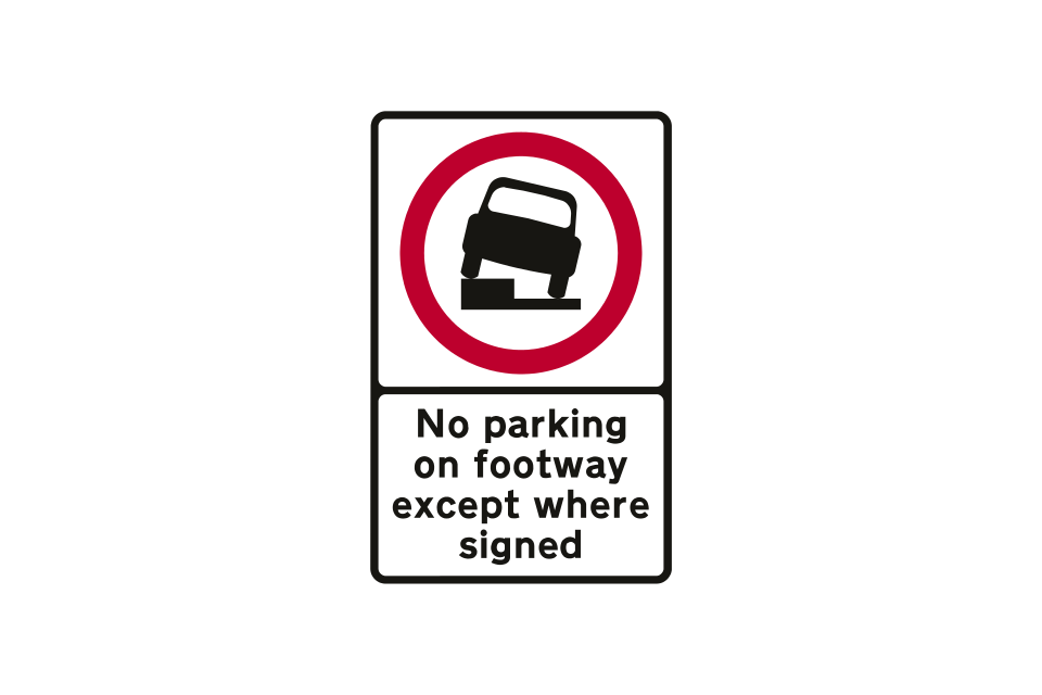
Entrance to an area where parking on the verge or footway is prohibited
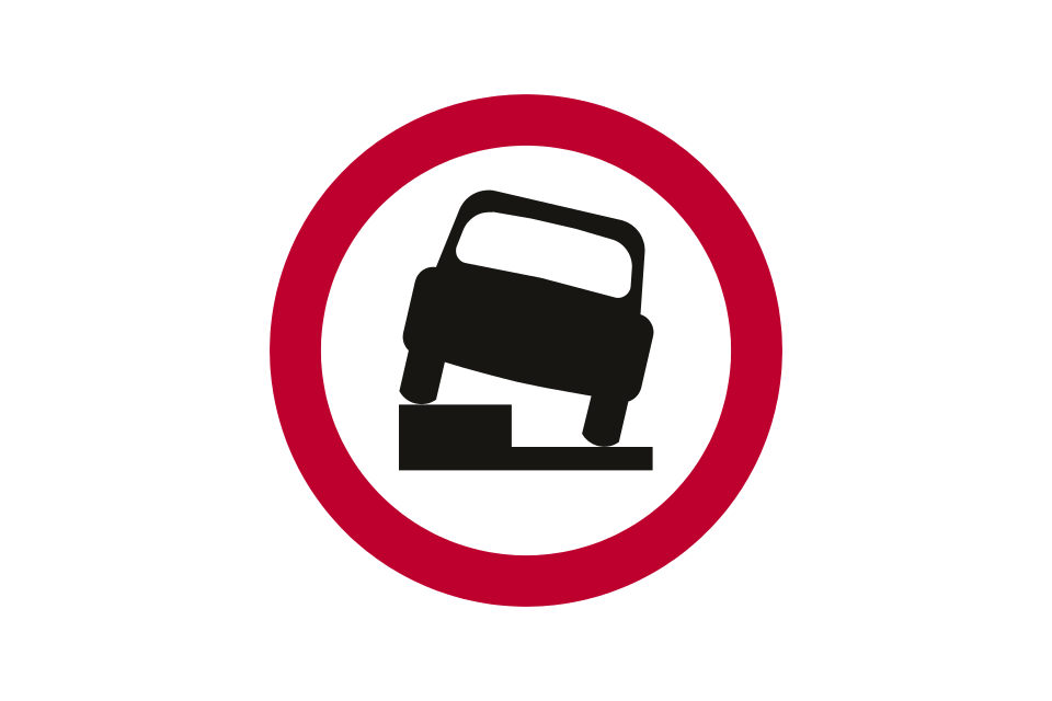
Reminder to drivers that parking on the verge or footway is prohibited
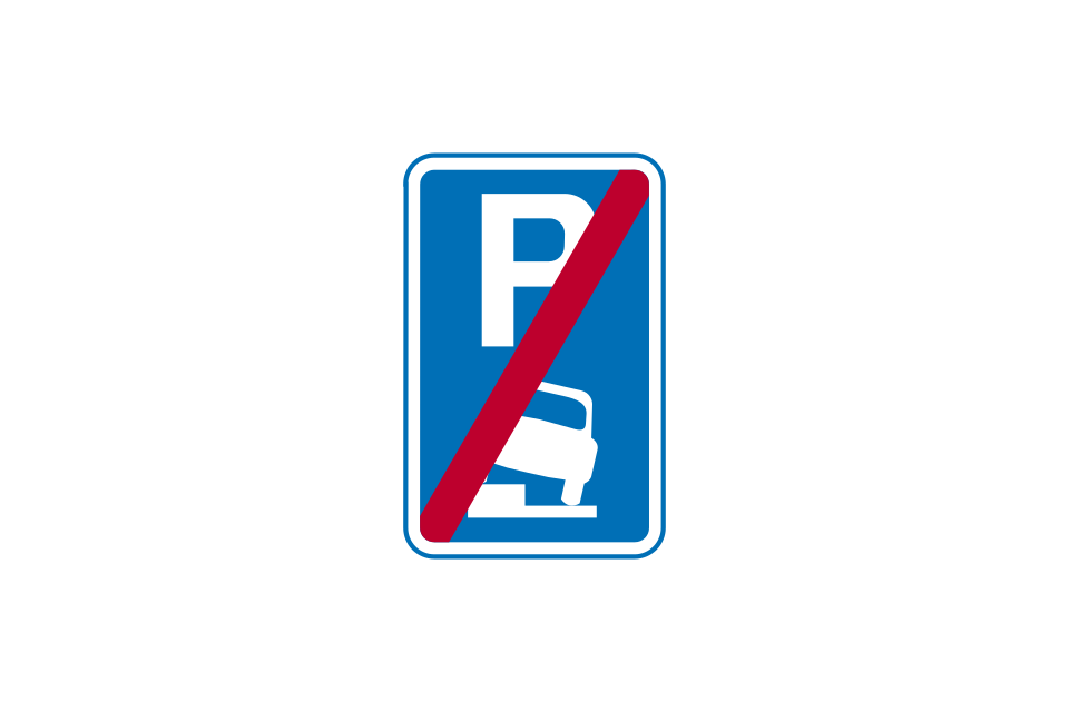
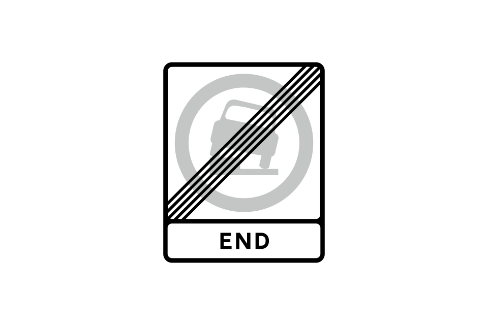
End of an area where parking on the verge or footway is prohibited
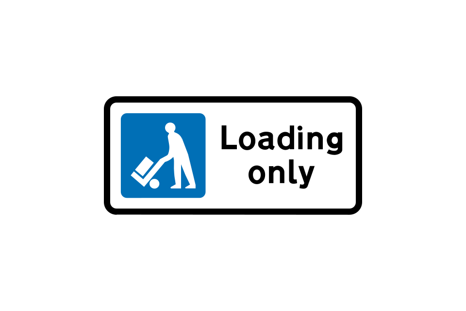
Bay reserved for loading and unloading by all vehicles at all times
Loading bay (conditions of use shown on upright sign)
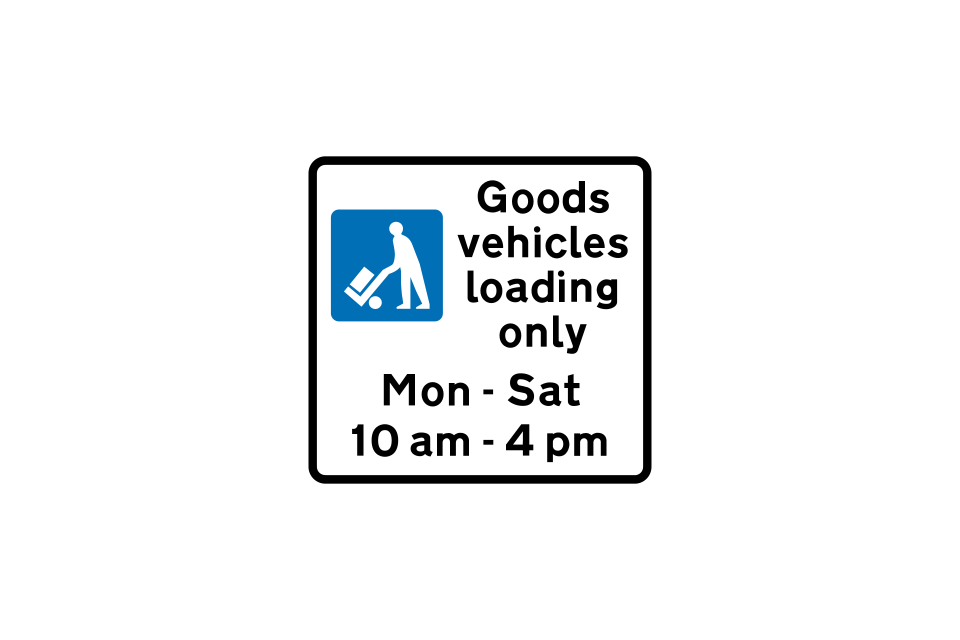
Bay reserved for loading and unloading by goods vehicles only during the times shown
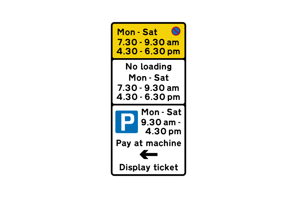
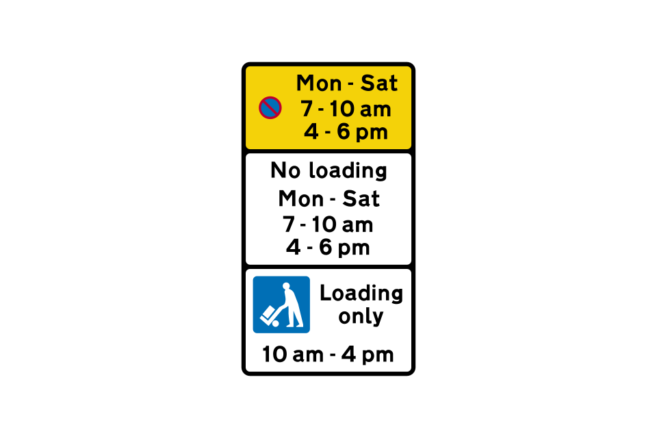
Waiting and loading are prohibited from Monday to Saturday during the times shown in the top and middle panels
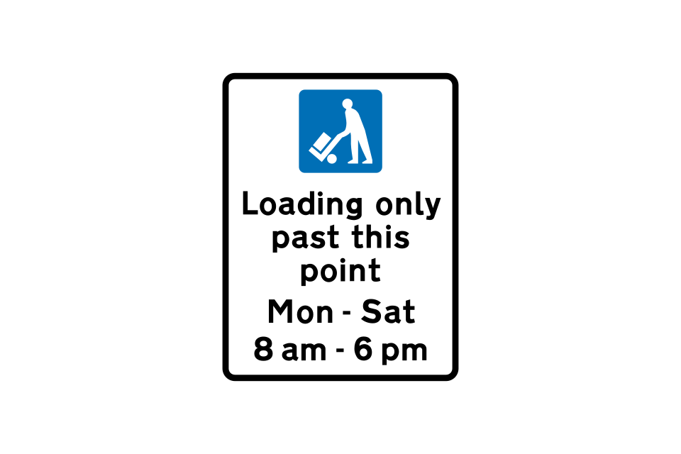
Entrance to a loading-only area where no other type of parking is permitted during the times shown
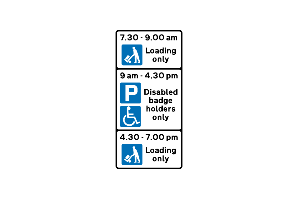
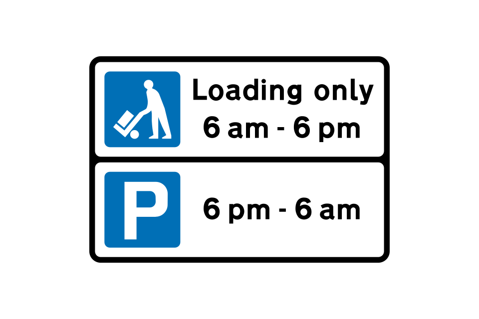
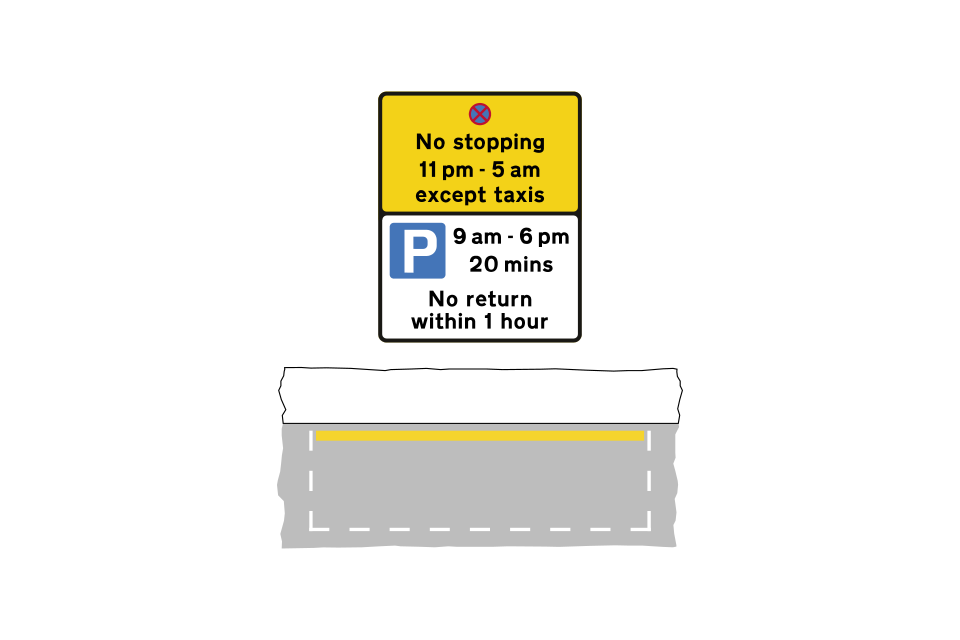
Parking place with different uses at different times of day
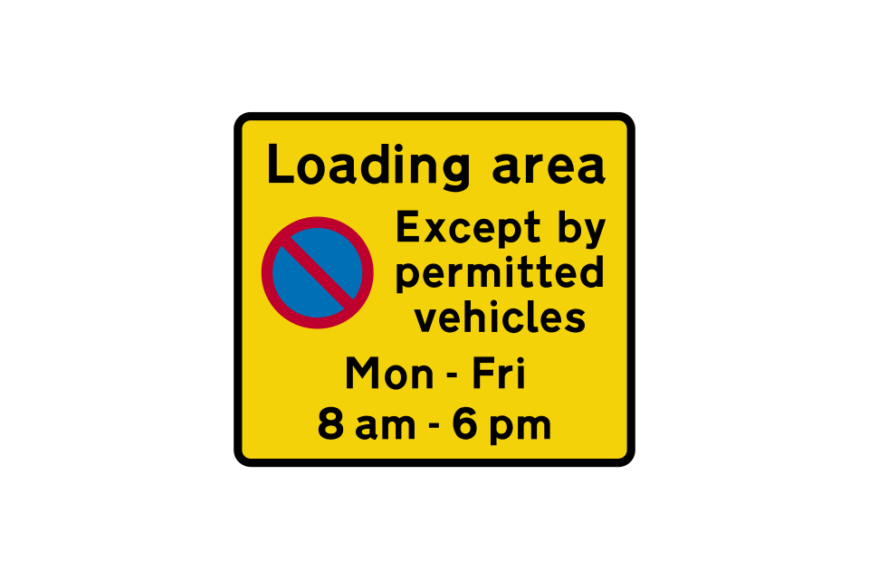
Entrance to a loading area
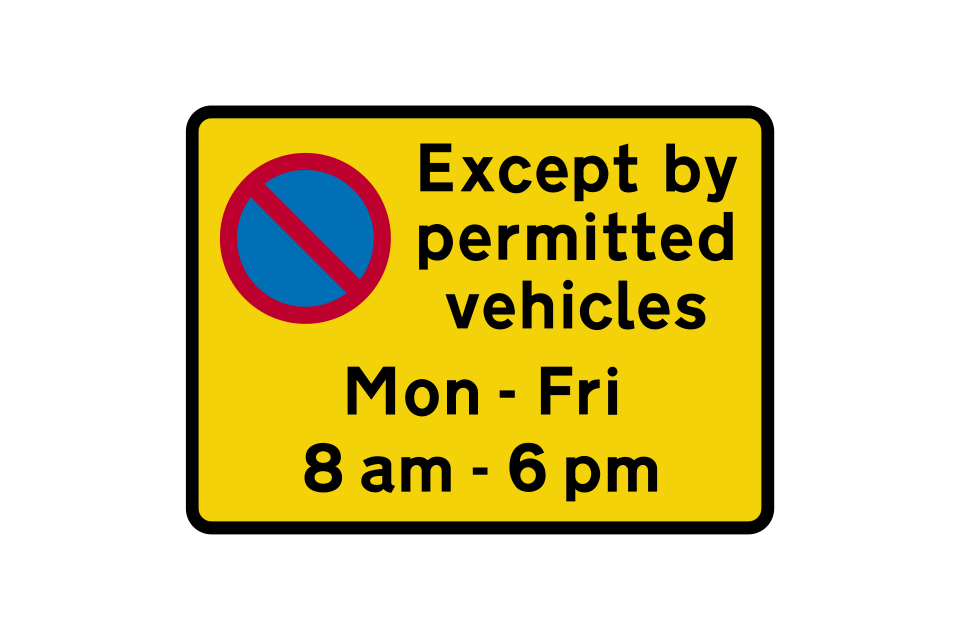
Repeater sign within a loading area
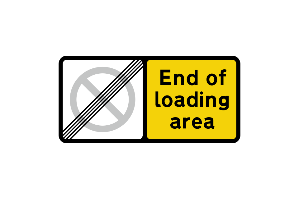
End of loading area
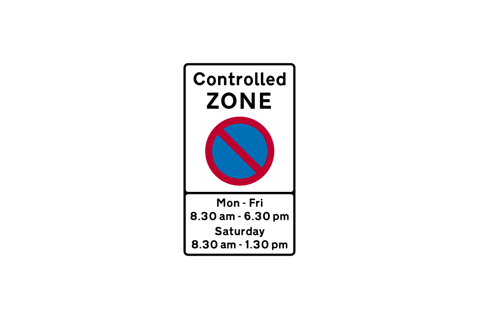
Entrance to a controlled parking zone
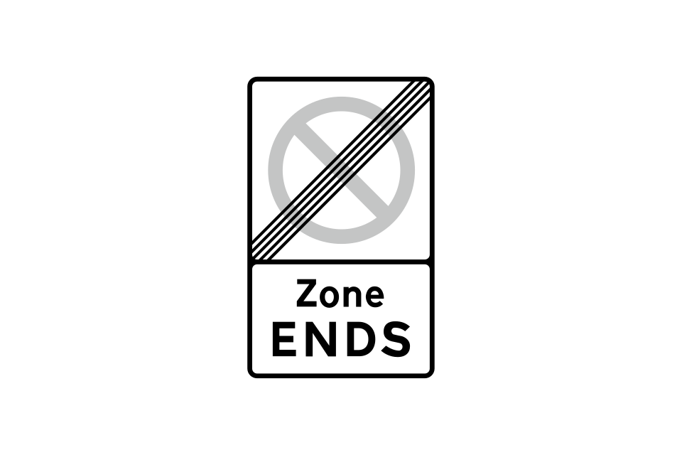
End of controlled or voucher parking zone
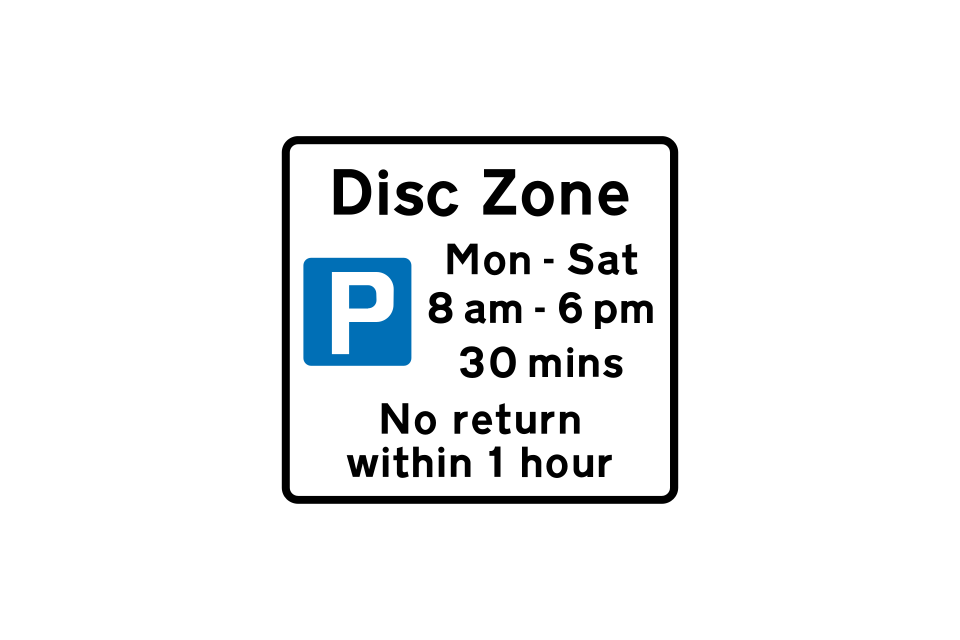
Sign at a parking bay within a disc zone
Entrance to a voucher parking zone
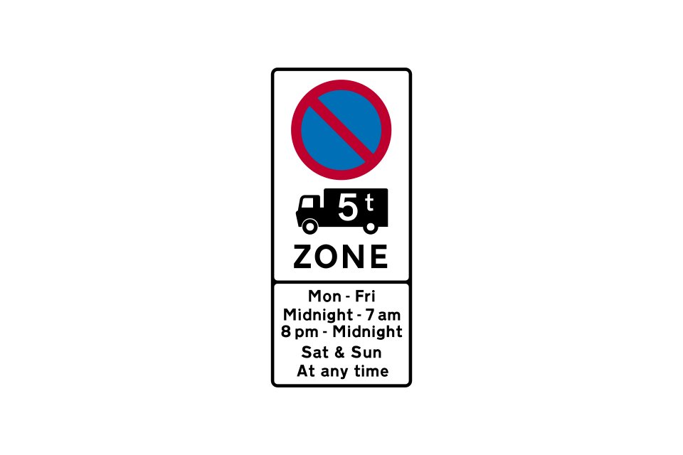
Zone entry
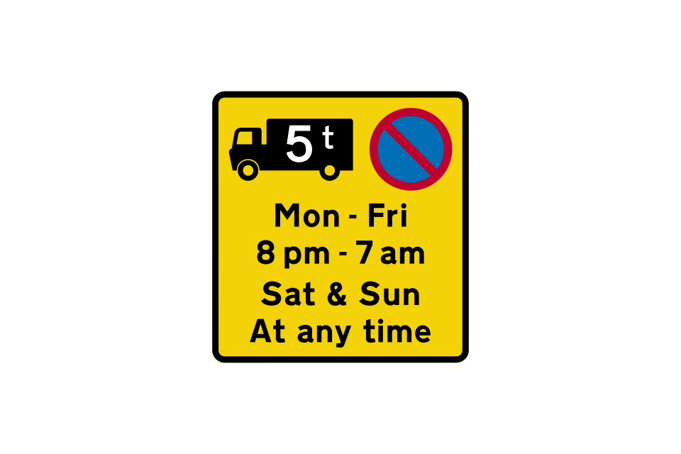
Repeater sign indicating the times when waiting by goods vehicles over the maximum gross weight shown is prohibited
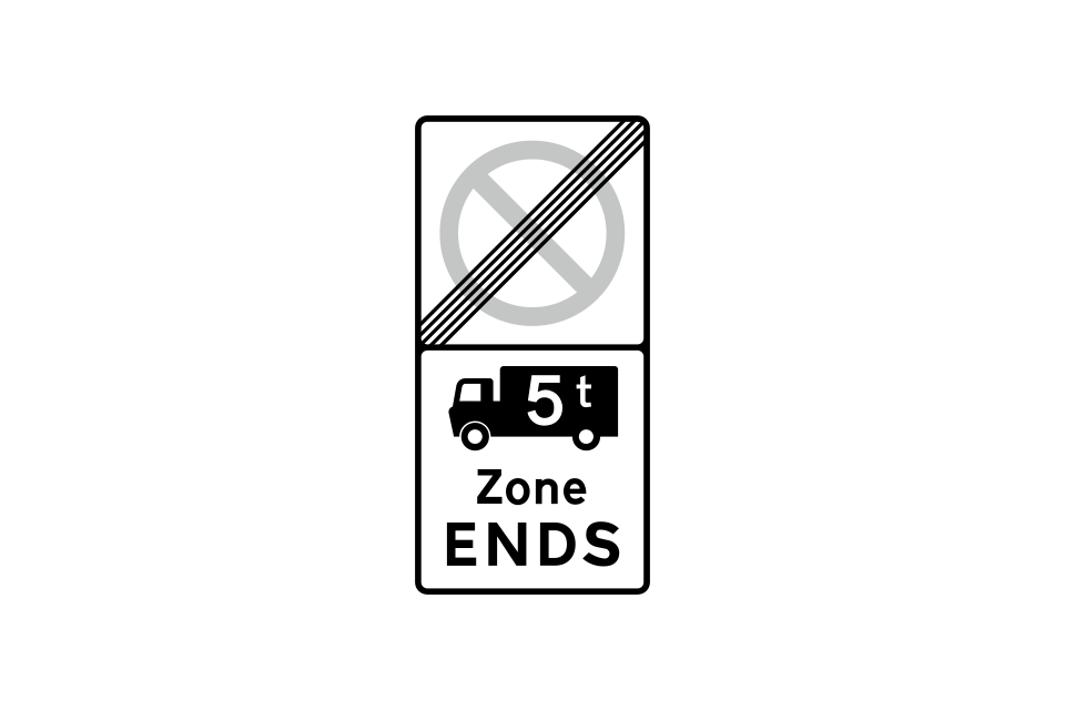
Zone exit
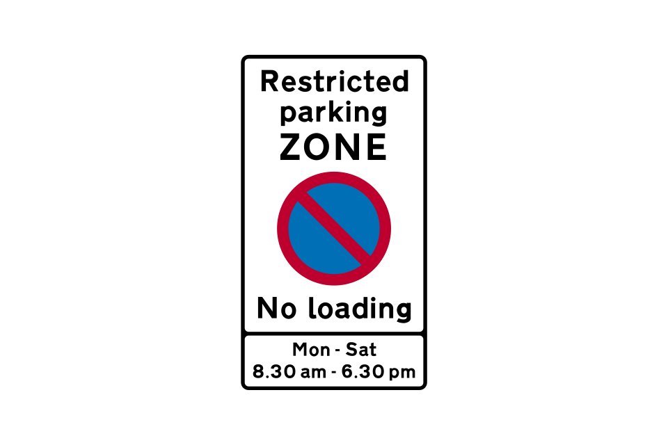
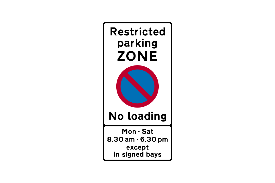
Entrance to a restricted parking zone where both waiting and loading are prohibited during the times shown in the lower panel
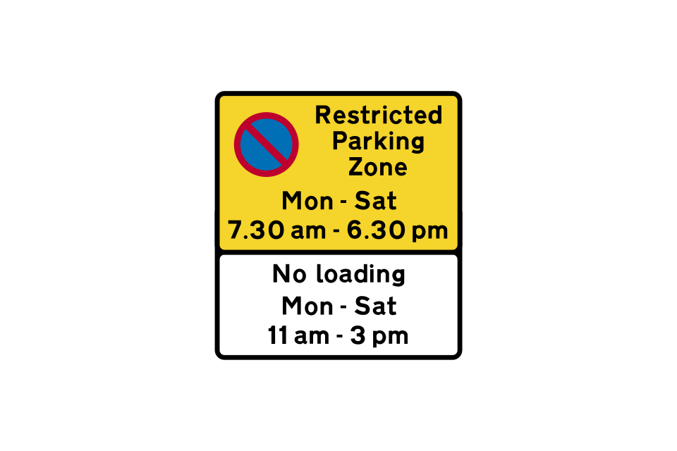
Repeater sign within a restricted parking zone
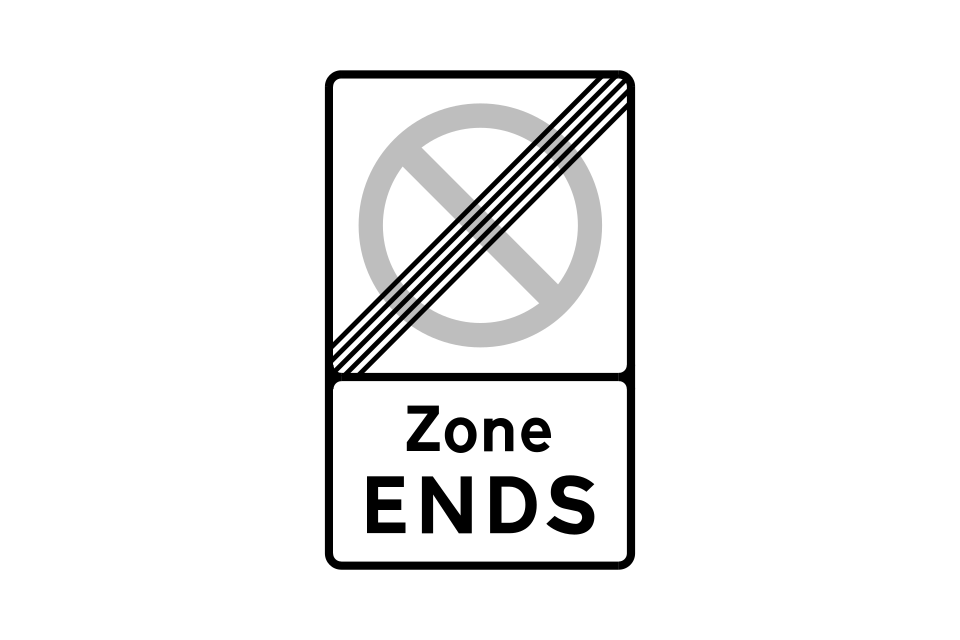
End of restricted parking zone
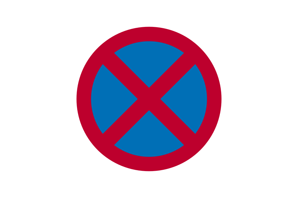
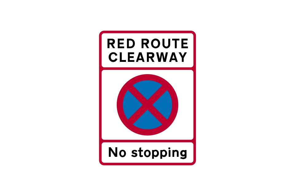
The red cross means no stopping, not even to pick up or set down passengers
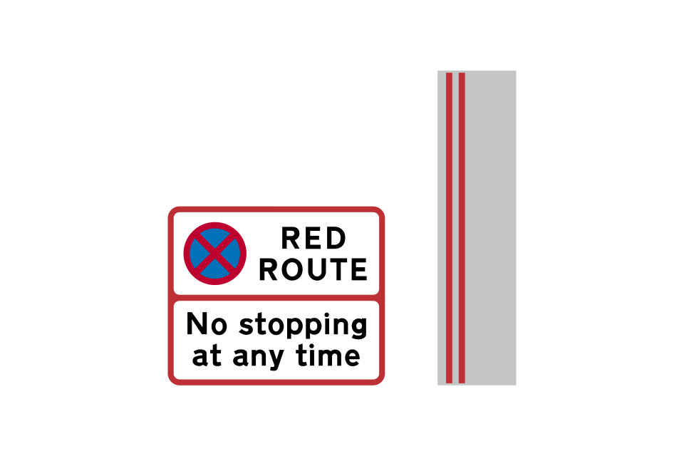
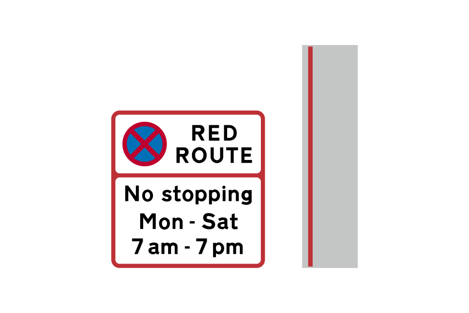
On red routes, yellow waiting restriction lines are replaced by red lines that mean no stopping for any purpose, not even to pick up or set down passengers, other than by a licensed taxi
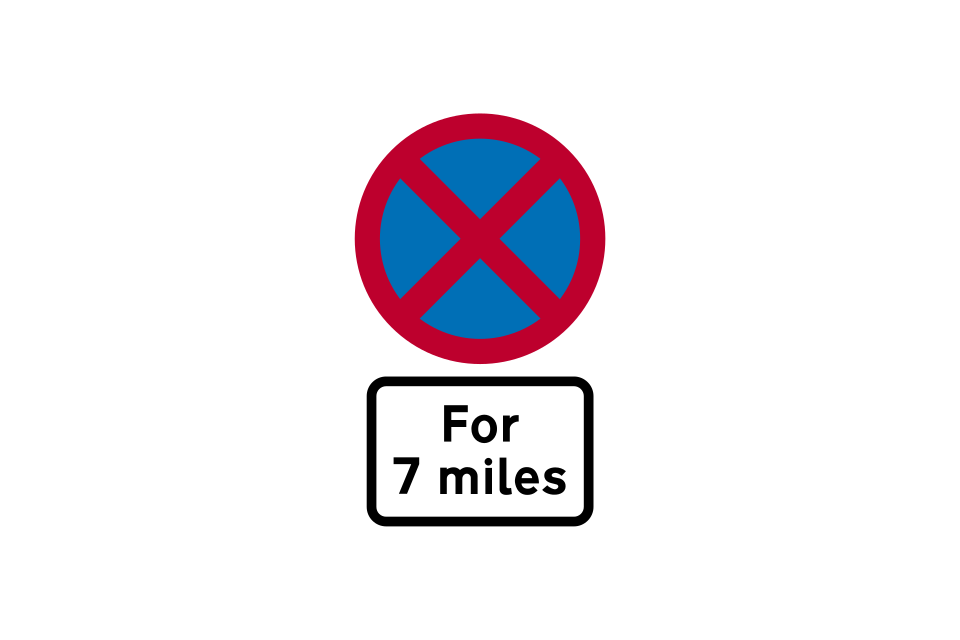
Start of 24-hour clearway (no stopping on main carriageway at any time for the distance shown)
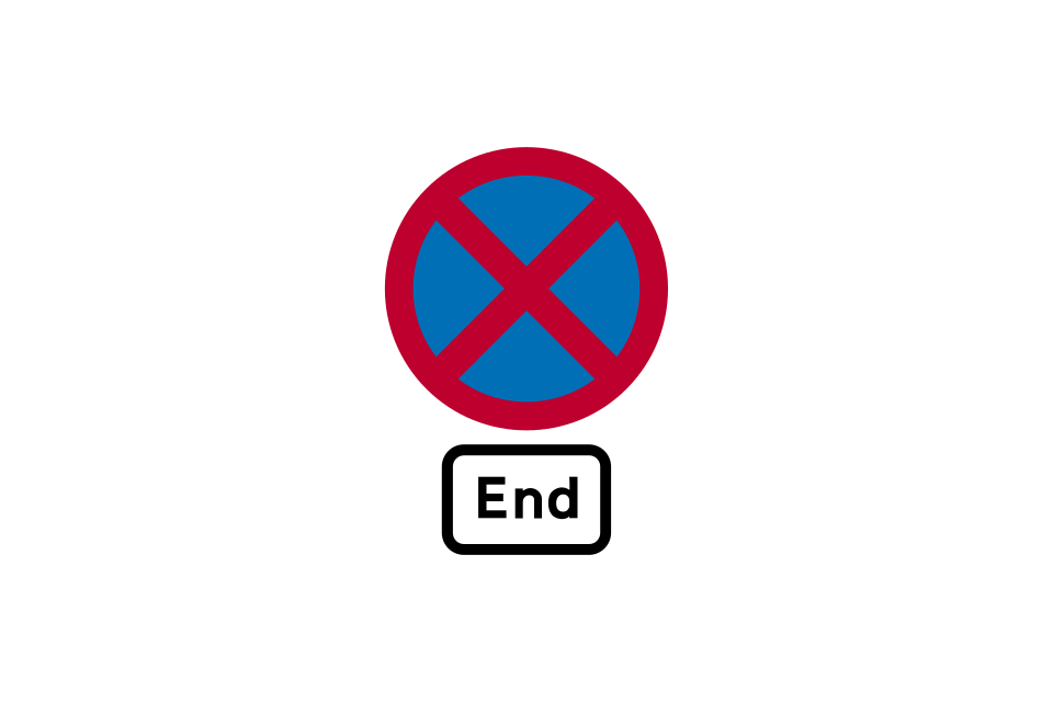
End of 24-hour clearway
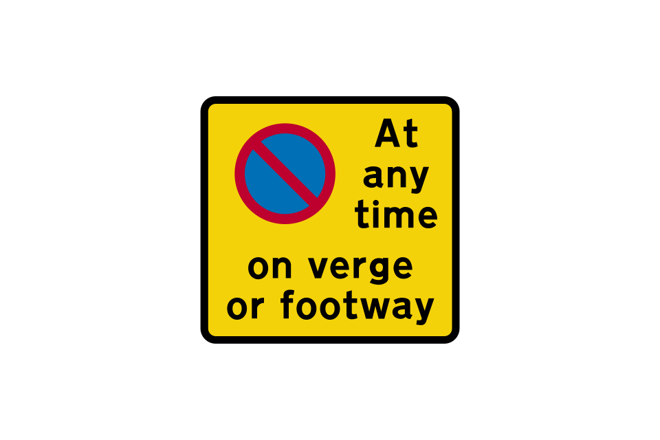
This sign is used on a 24-hour clearway where waiting is prohibited on the verge or footway in addition to the prohibition of stopping on the main carriageway
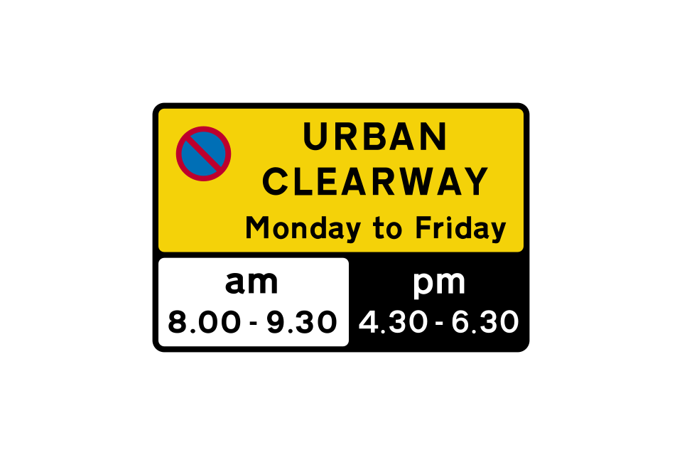
In built-up areas, urban clearways may be provided
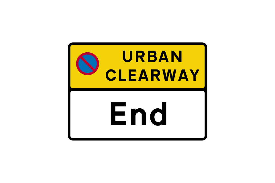
End of urban clearway
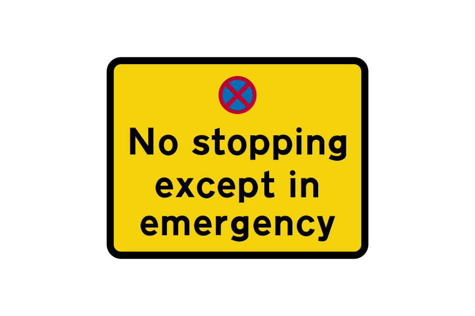
Stopping in lay-by not allowed, except in an emergency (similar to hard shoulders on a motorway)
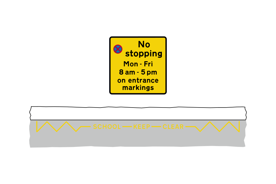
Yellow zig-zag markings outside schools, hospitals or fire, police or ambulance stations indicate the length of road where you should not stop, not even to pick up or set down children or other passengers
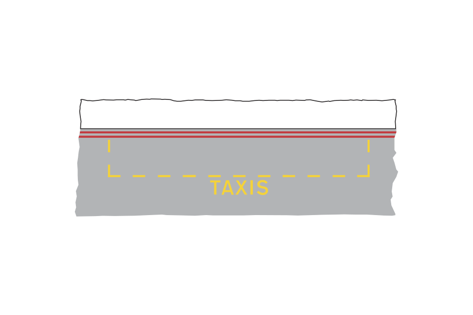
Double red lines mean no stopping at any time (upright signs might not be provided)
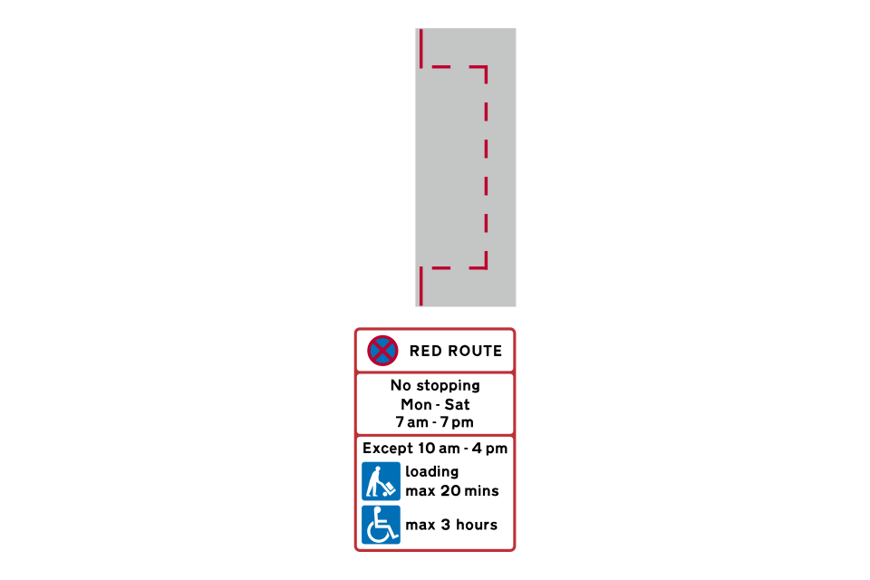
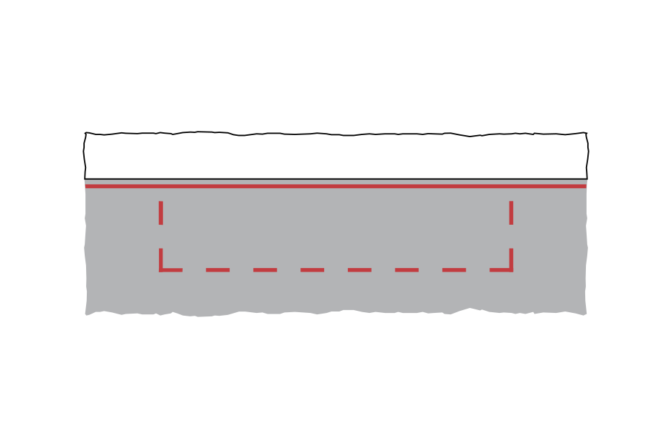
Single red lines mean no stopping during the days and times shown on the upright
A bay marked with red lines means that it is available for use for only part of the time that the red route ‘no stopping’ rule applies

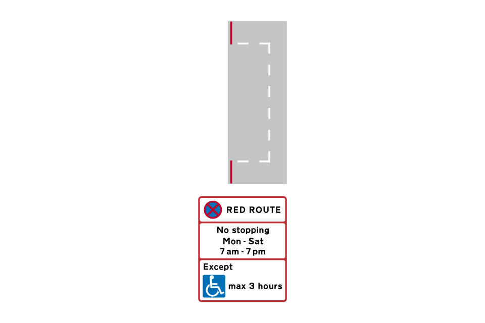
A bay marked with white lines means that it is available for use at all times that the red route ‘no stopping’ rule applies
Some red routes have upright signs without any road markings
Licensed taxis may pick up or set down passengers at bus stops on a red route where there is a double red line or a broad continuous yellow line, but not if the broad line is red
Start of a red route clearway (also used as a repeater sign, particularly after a road junction)
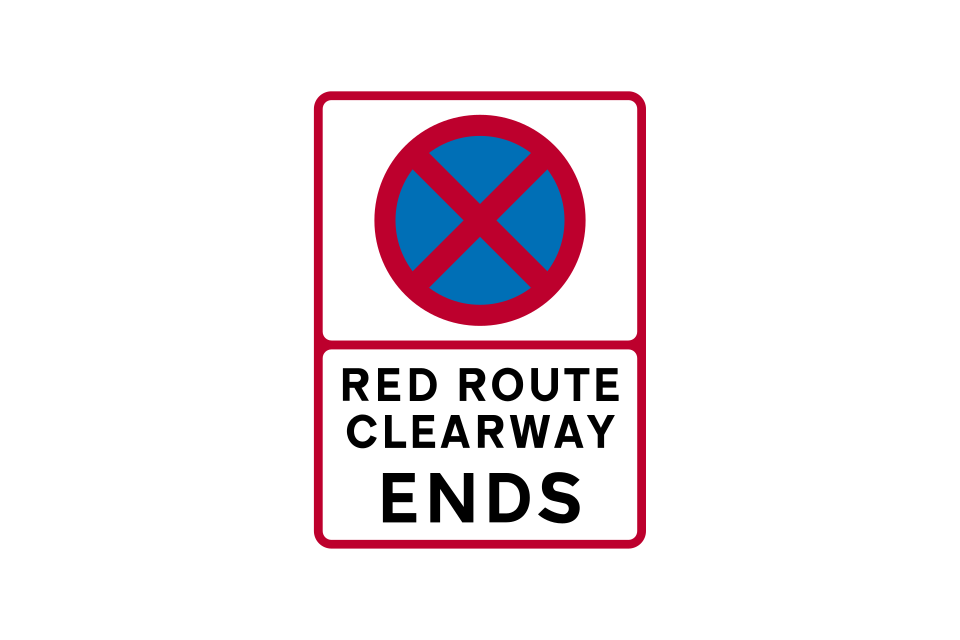
End of red route clearway
No waiting in taxi rank during the times shown
No stopping in taxi rank during the times shown
Waiting is prohibited at all times (indicated by double yellow lines)
The taxi rank operates every day between 10 am and 4 pm
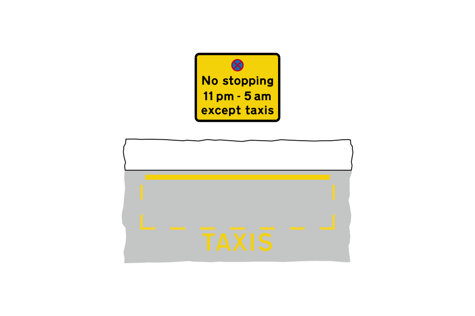
The taxi rank operates overnight (11 pm to 5 am) on each day of the week, during which time waiting by other vehicles is prohibited
The taxi rank operates overnight (11 pm to 5 am) on each day of the week, during which time stopping by other vehicles is prohibited
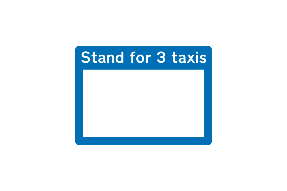
Information boards may be provided at taxi ranks
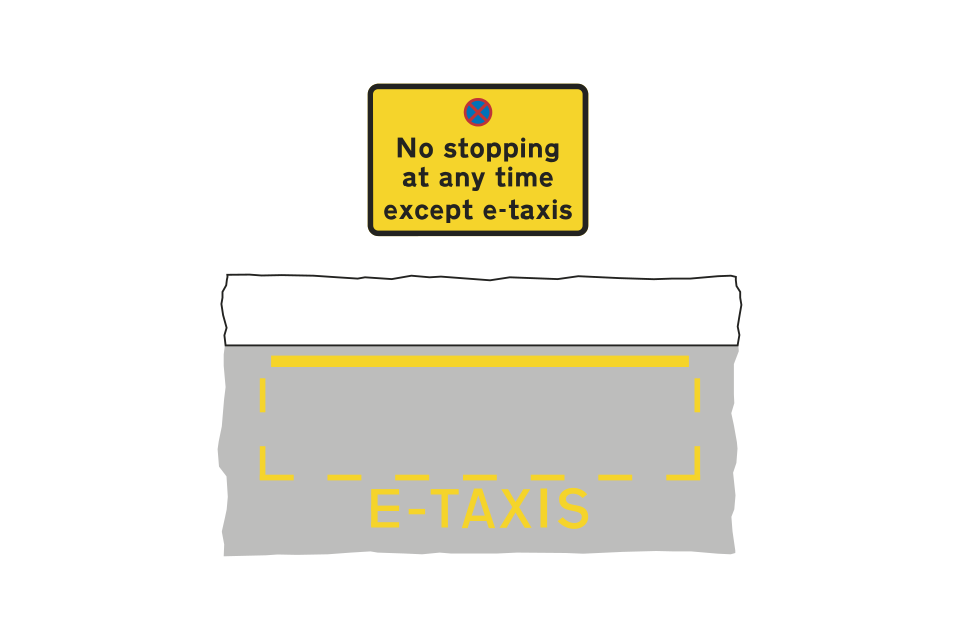
No stopping in e-taxi rank at any time
Information boards may be provided at e-taxi ranks
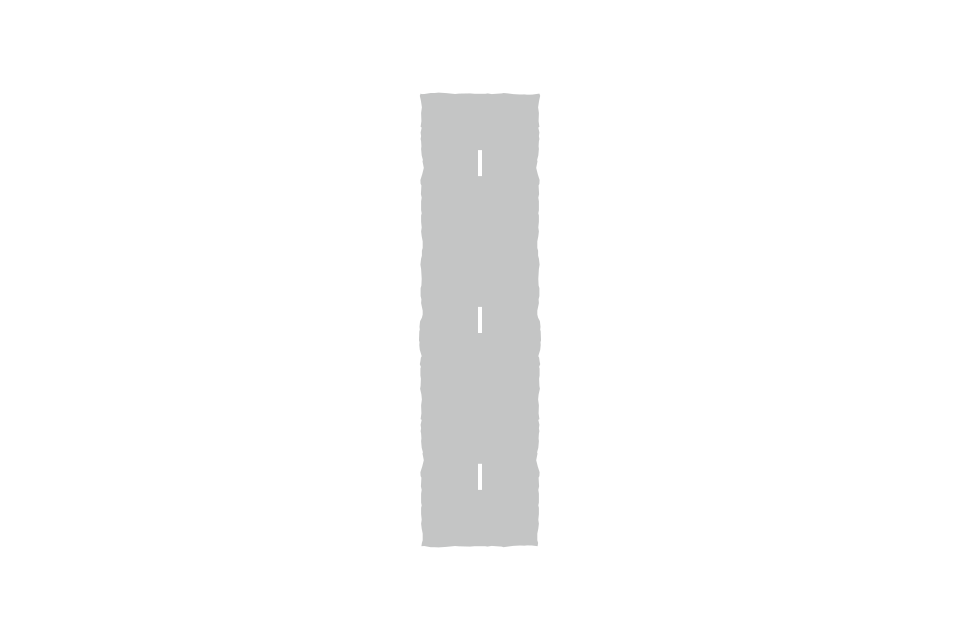
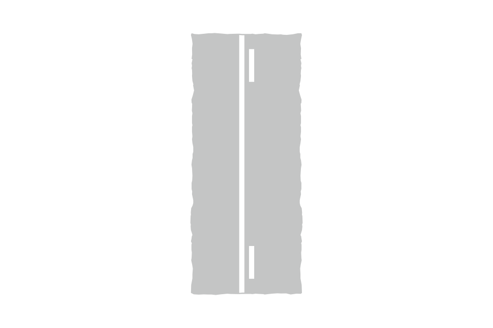
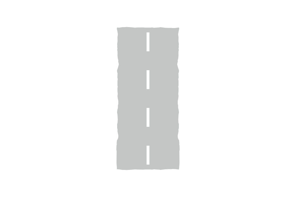
Centre line on a single carriageway road
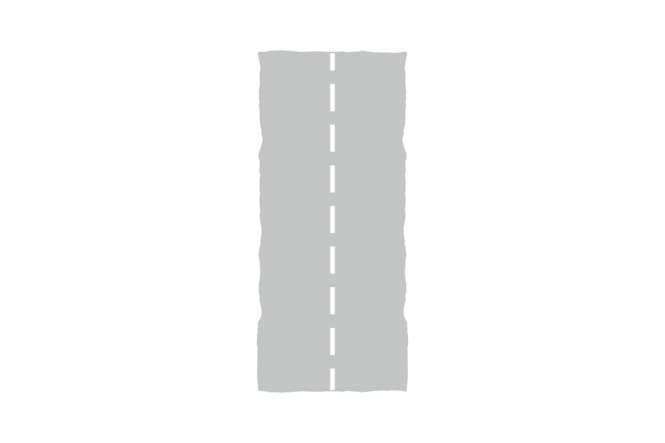
Lane line separating traffic travelling in the same direction (single or dual carriageway road)
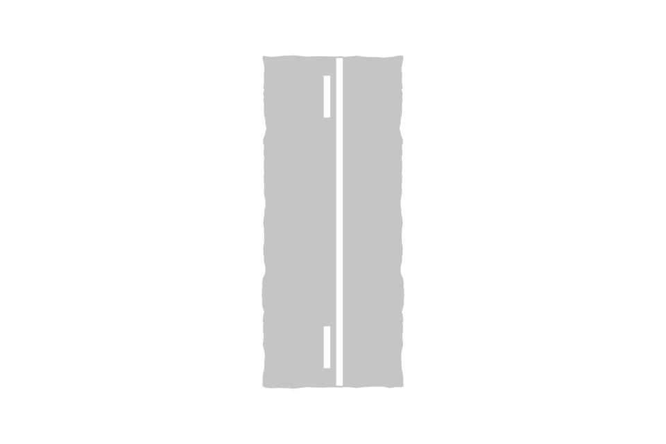
Hazard warning line (replaces a centre line or a lane line)
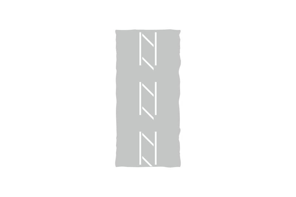
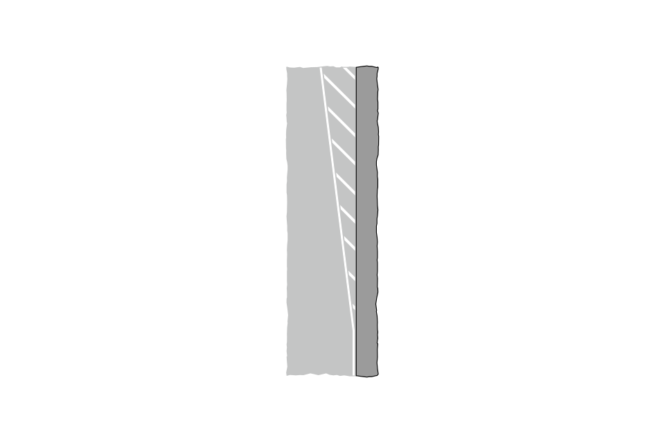
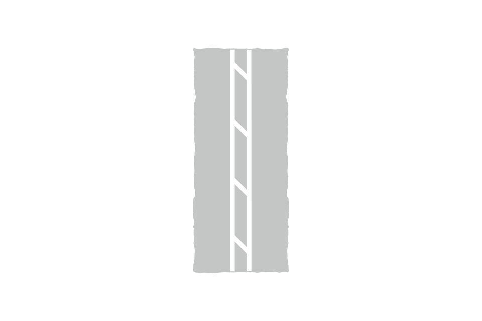
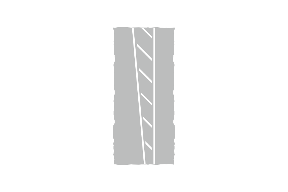
Diagonal white lines (hatched markings) bounded by broken lines may be used in the centre of the road to separate opposing flows of traffic
Part of the carriageway where traffic passes in the same direction on either side of the chevron marking
Reduction in the number of lanes, or area not available to traffic
Arrow indicating the direction in which to pass hatched markings and double white lines, or the route that high vehicles should take under a low arch bridge (may be reversed)
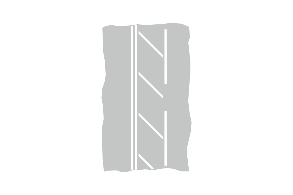
Some double continuous white lines have narrow areas of hatched lines within them or a wider area of hatching to the side
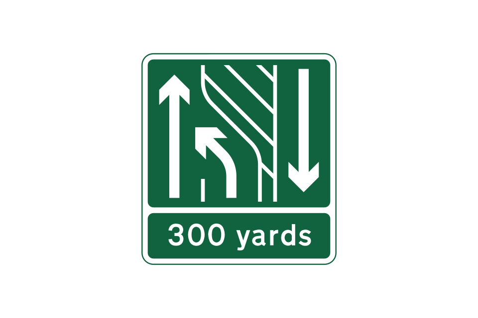
Road marking in the centre of the road at the end of an overtaking lane where 2 lanes reduce to one
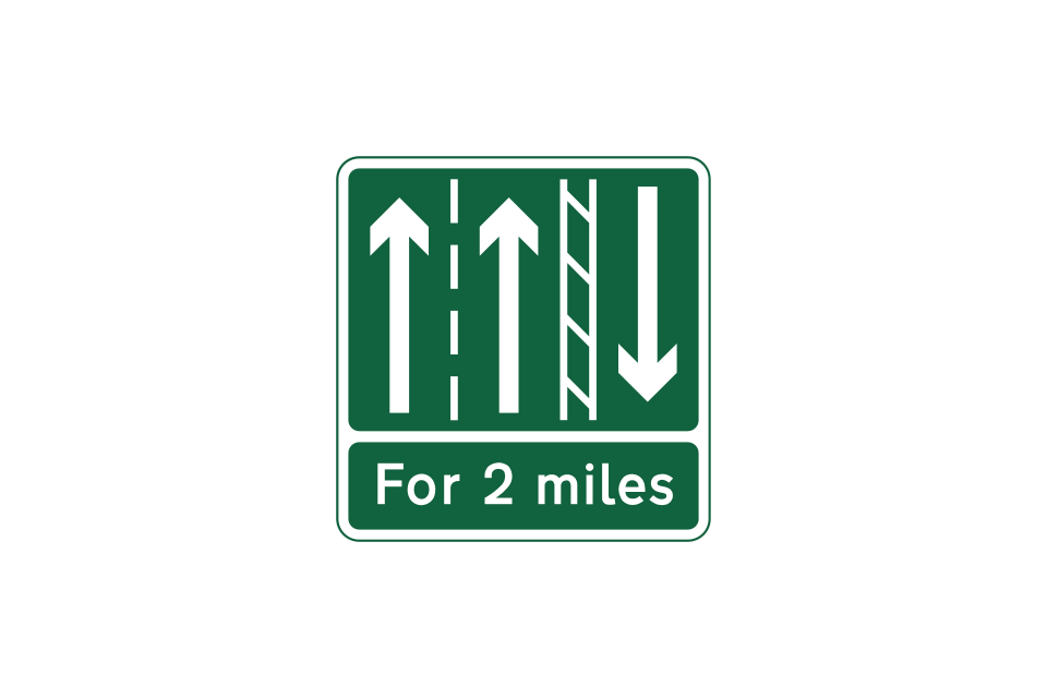
Overtaking lane continues for the distance shown, with single lane traffic in the opposite direction
End of overtaking lane head
Single lane traffic with 2 lanes in the opposite direction
Edge of carriageway, other than at junctions, exits from private drives and lay-bys
Alternative edge of carriageway marking, with raised ribs to provide audible and tactile warnings when the line is being crossed
Edge of main carriageway at a junction where a slip road or lane leaves or joins, at an exit from a private drive or at a lay-by
Edge of main carriageway at a junction or at an exit from a private drive
Junction with traffic signals:
Conventional roundabout:
Where stationary traffic would be likely to block a junction, a yellow box may be marked on the road, covering all or part of the junction
Mini roundabout:
A mini-roundabout is normally found on a road with a speed limit of 30 mph or less
Some conventional roundabouts may have a segregated left-turn lane where drivers do not give way to traffic on the roundabout
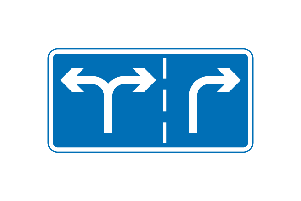
Appropriate traffic lanes for different movements at junction ahead
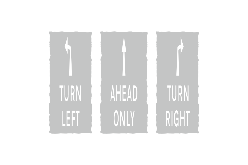
Compulsory traffic movements at a junction ahead
Direction to be taken by traffic turning within a junction
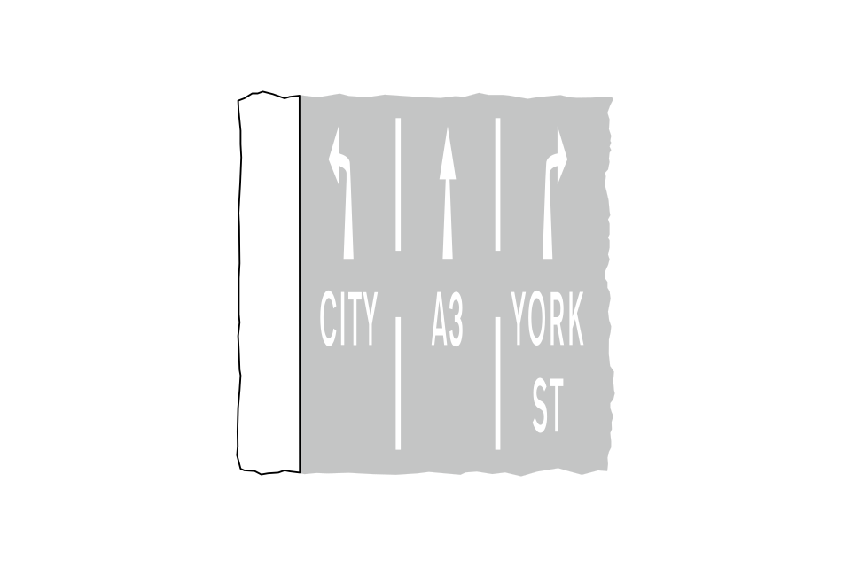
Appropriate traffic lanes for particular destinations
Area of carriageway to be kept clear of stationary traffic, usually to allow the passage of vehicles into or out of a side road or access
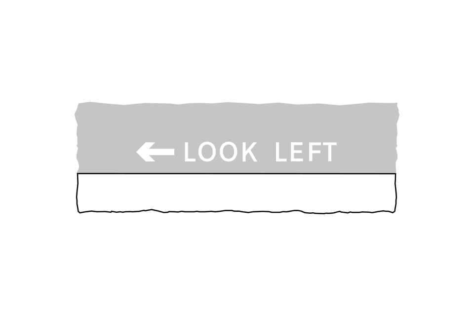
Direction in which pedestrians should look before crossing the road (particularly in a one-way street or where there is a contraflow bus lane)
Vehicles must not pass this marking
Associated with a hazard
Coloured road studs help drivers at night, especially on wet roads, or in poor visibility
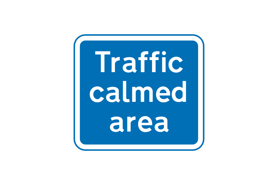
Entrance to a traffic-calmed area
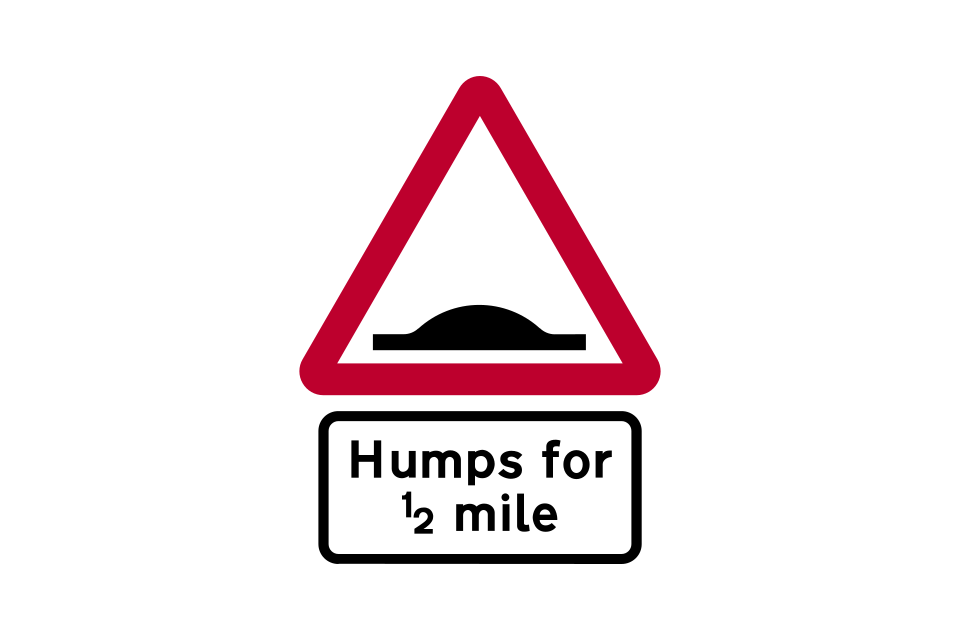
Road humps for distance shown
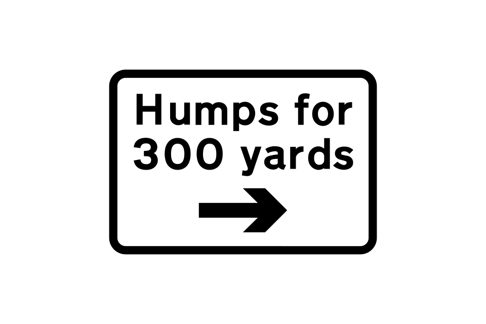
Road humps for distance shown and in direction indicated
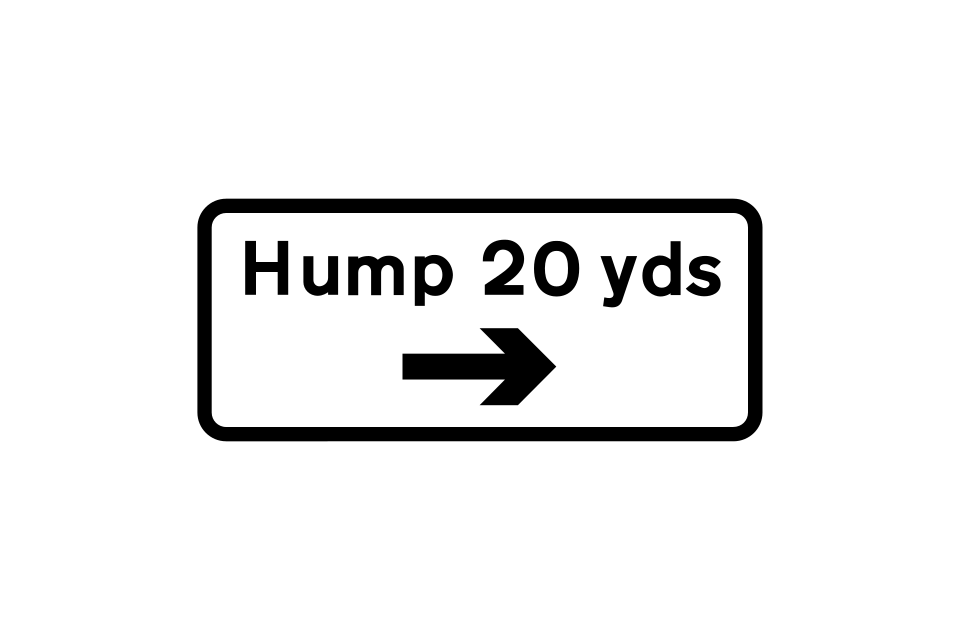
Road hump in the distance and direction indicated
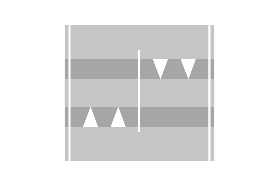
A road hump is normally marked with white triangle and edge line markings
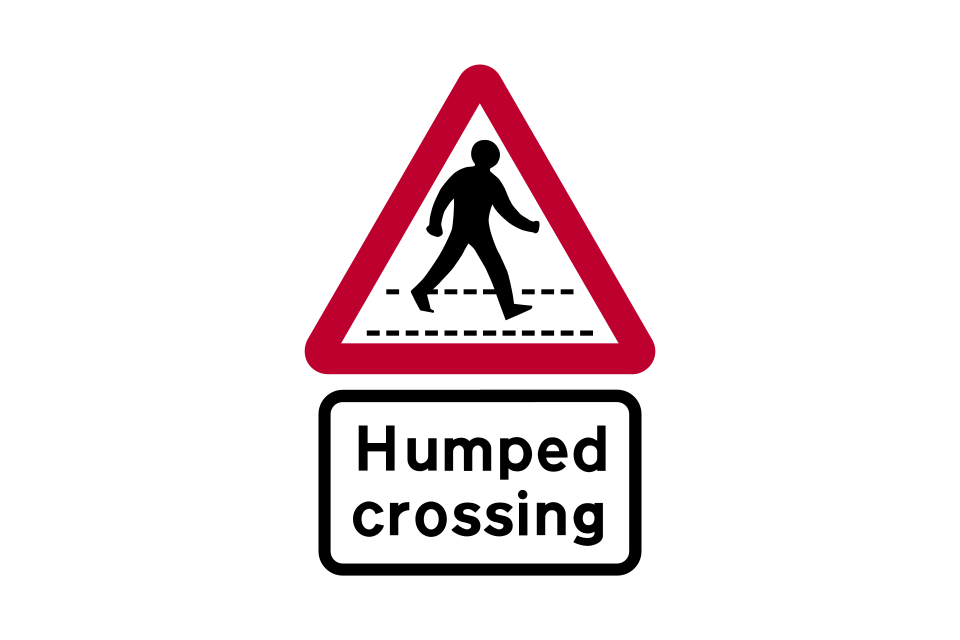
Zebra or parallel crossing on a road hump
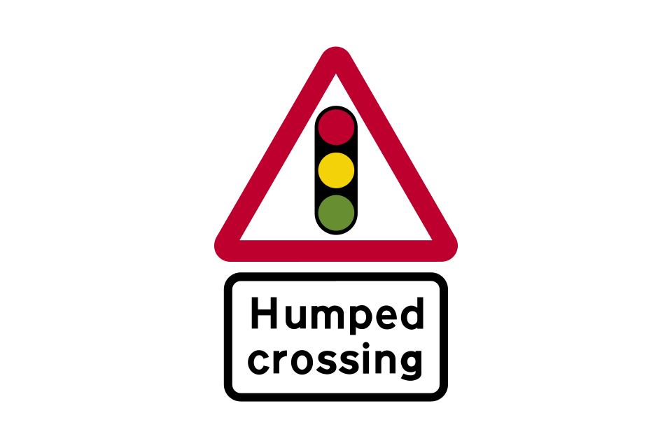
Signal-controlled pedestrian crossing on a road hump
If priority is not given to either direction at a road narrowing, you should ensure that you can pass through without endangering occupants in vehicles approaching from the other direction
Road narrows on left (right if symbol reversed)
Road narrows on both sides
Entrance to a 20 mph zone
End of 20 mph zone and start of 30 mph speed limit
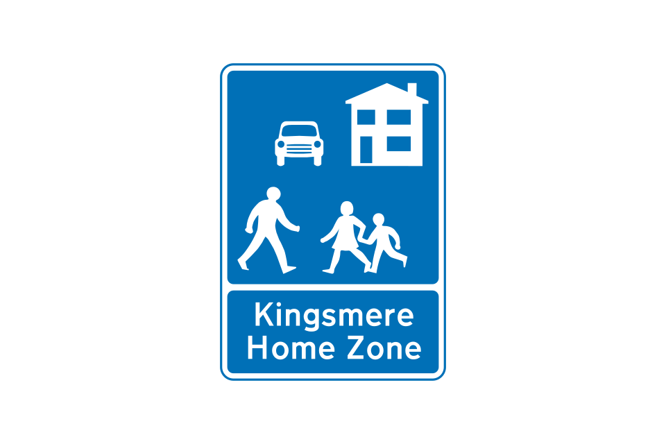
Entrance to a Home Zone
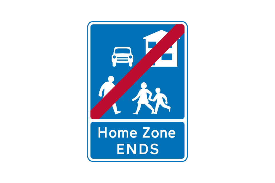
End of Home Zone
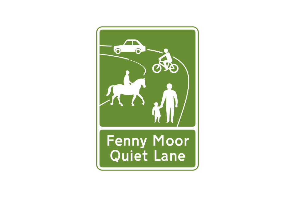
Start of designated Quiet Lane
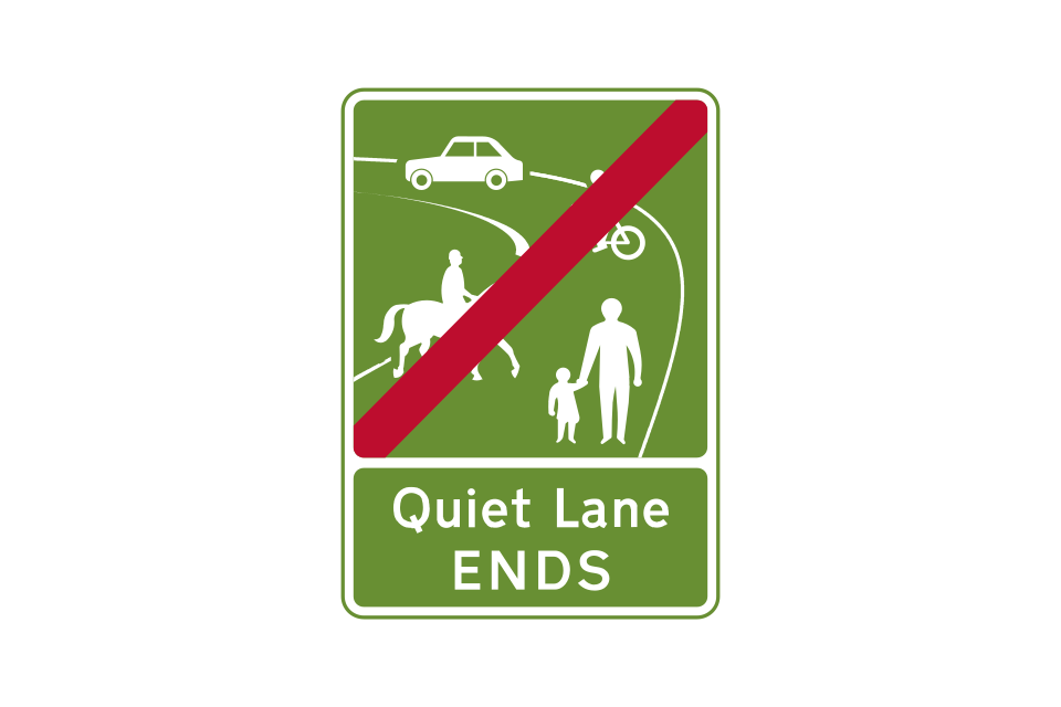
End of Quiet Lane
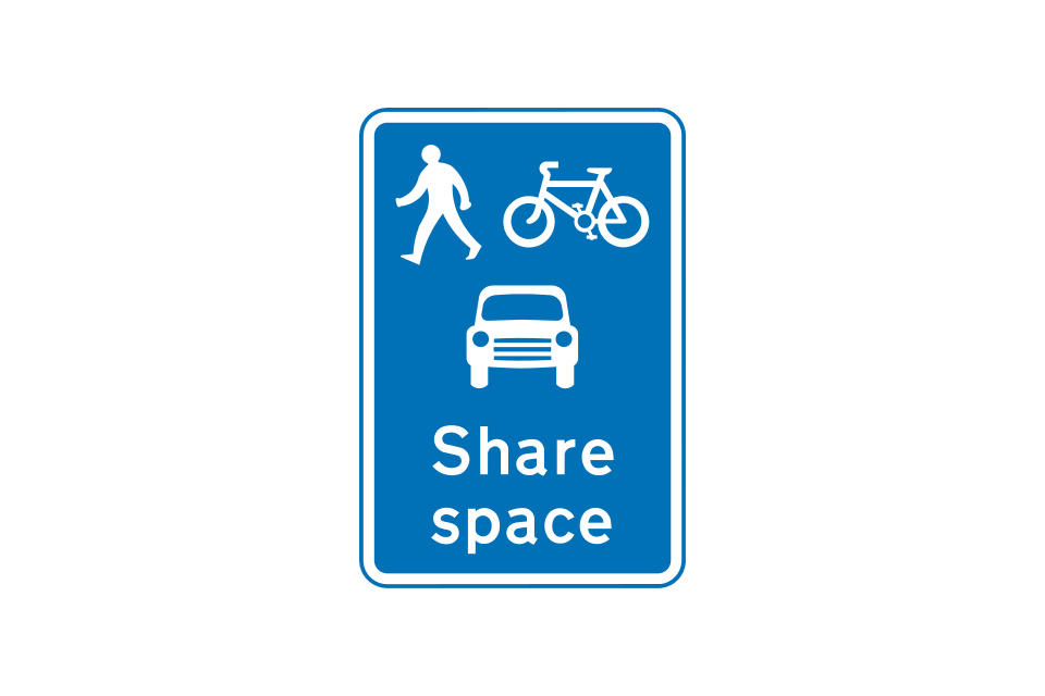
Share space road or place ahead
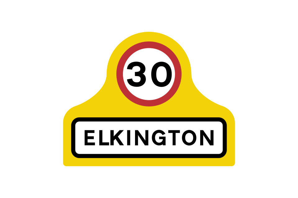
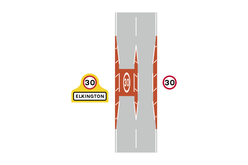
Gateways into villages may be formed from the combination of speed limit signs, yellow backing boards and village name plates
Example of a village gateway
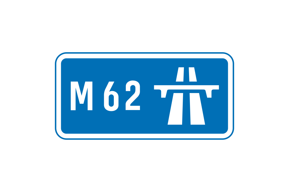
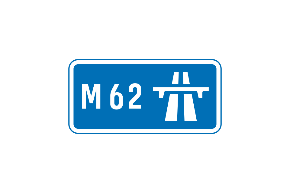
Start of motorway regulations
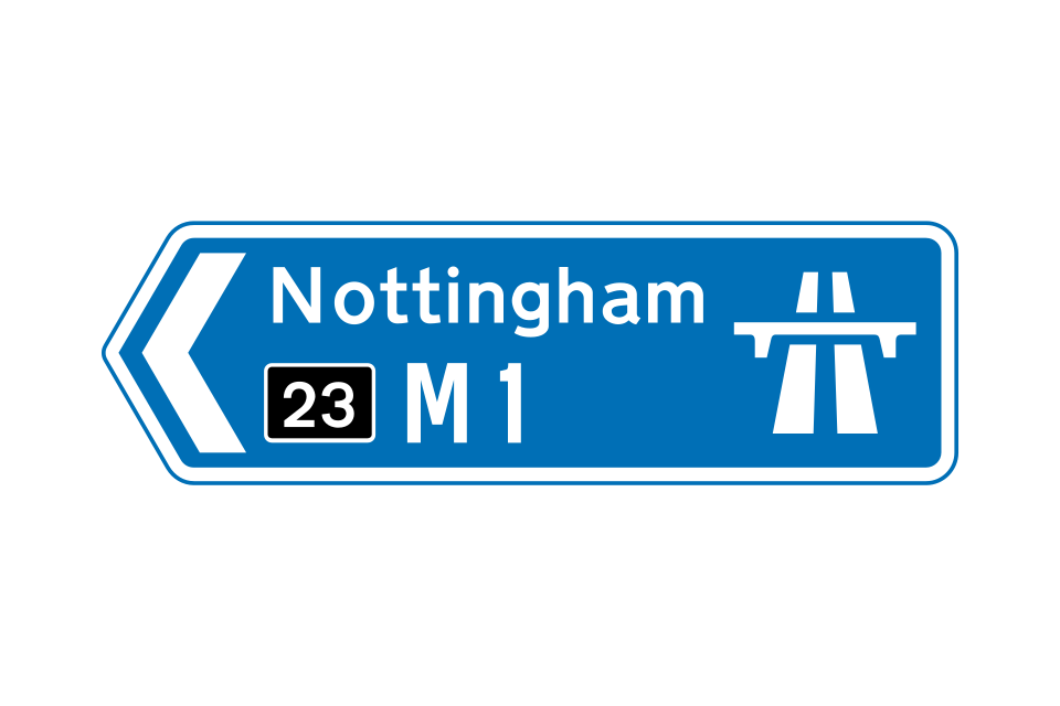
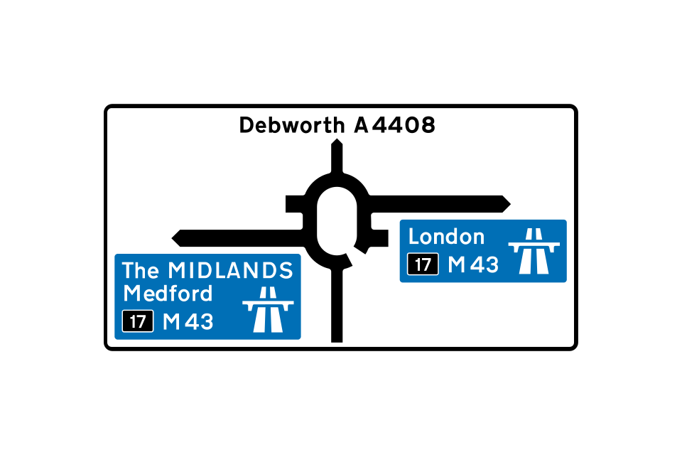
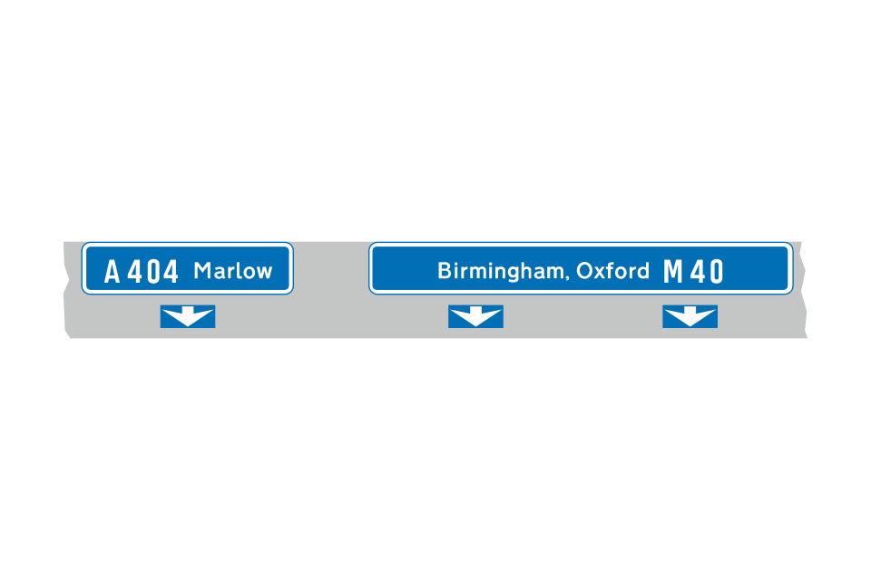
Blue direction signs, with the motorway symbol and large route numbers, indicate that a motorway or motorway slip road leads directly from a junction with an all-purpose road
On the approach to a junction with a motorway, a direction sign on an all-purpose road has blue panels that include the motorway symbol
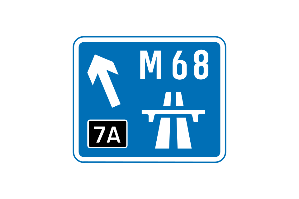
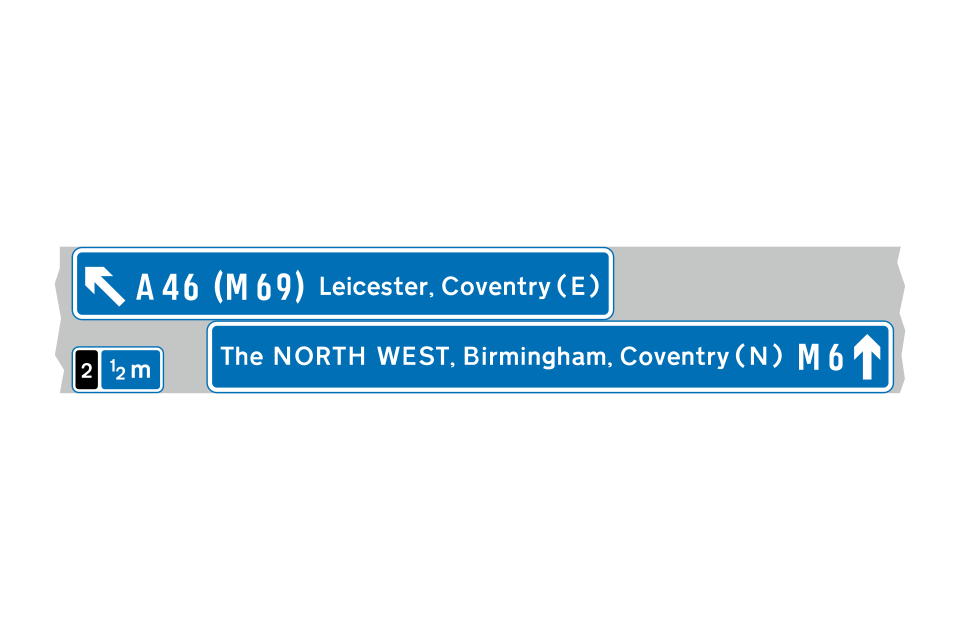
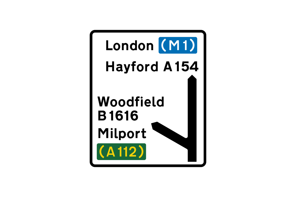
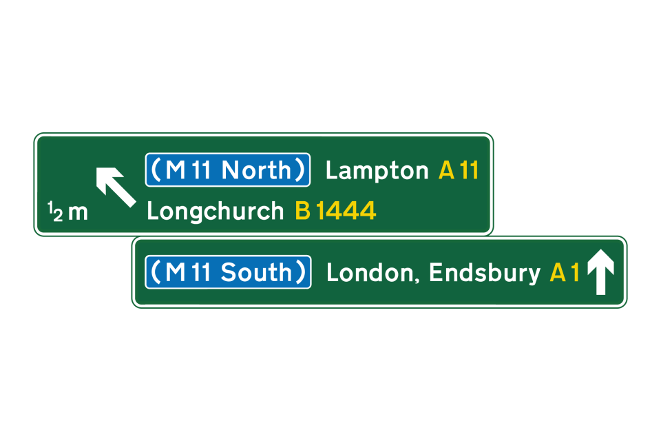
This sign, with the motorway number in brackets on a blue background, but without the motorway symbol, indicates the route to take from a junction ahead in order to reach the motorway
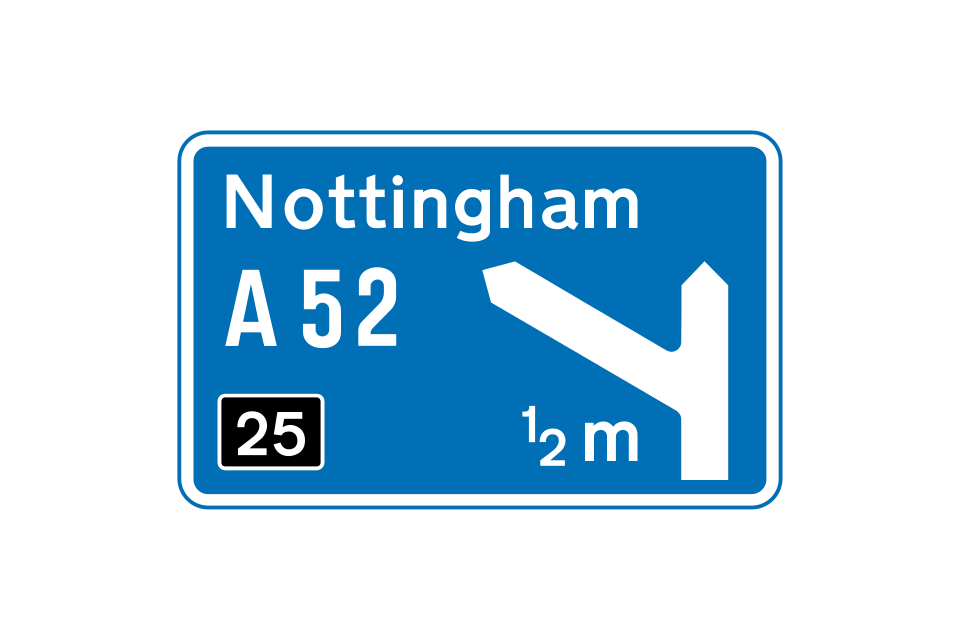
The first 2 signs on the approach to a junction show the destination and the route number for the exit only
This sign is located at the start of the deceleration lane and includes destinations reached by staying on the motorway
A final route direction sign is usually located where the exit slip road separates from the main carriageway
Lane-drop junctions do not use the countdown markers, as there is no deceleration lane for drivers to move into
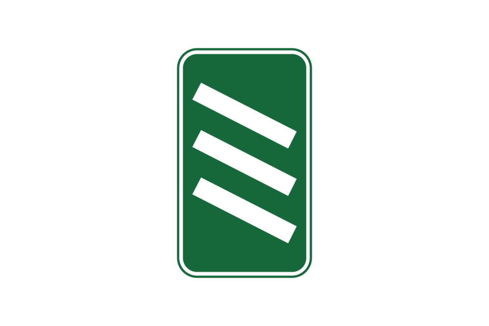
Countdown markers indicate the distance to the start of the deceleration lane
This sign is used on the approach to the junction (usually 1 mile and ½ mile in advance) and at the start of the deceleration lane
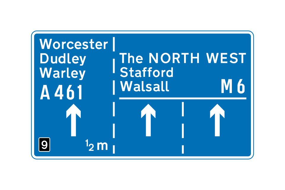
This sign is normally located 1 mile and ½ mile before the junction and shows the appropriate lanes to use for various destinations
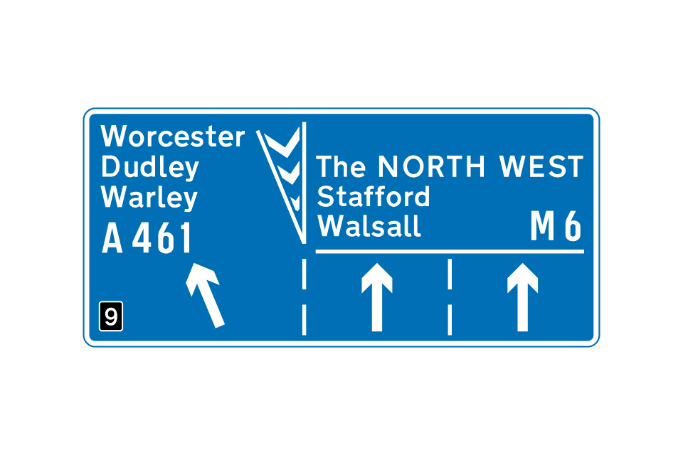
This sign, with the inclined arrow, is normally located just before the left-hand lane leaves the main carriageway
This sign is used both in advance and at the junction
A confirmatory sign may be provided just after the point where the slip road has separated from the main carriageway
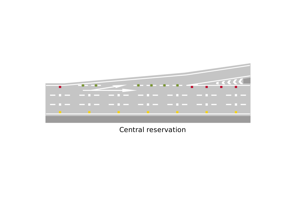
The central reservation is on the right-hand side
A sign mounted at the side of the motorway shows the arrangement of traffic lanes
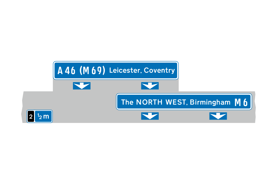
Overhead sign showing appropriate lanes for the different destinations
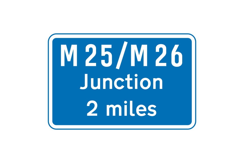
Where the junction ahead is with another motorway, additional signs may be provided prior to the 1 mile advance sign
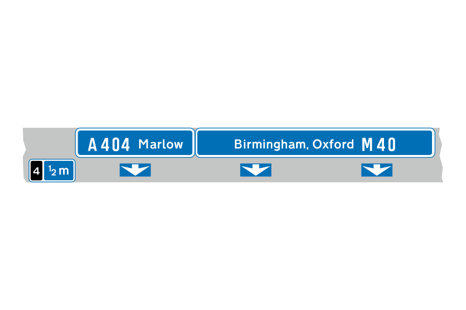
Where 2 junctions are very close, they may both be shown on the same sign, together with the distances and junction numbers
This overhead sign indicates a junction that has 2 exits
Sign for drivers on slip road
Sign for drivers on main carriageway
Sign for drivers on slip road
Sign for drivers on main carriageway
Directions from junction ahead, usually controlled by traffic signals or a ‘give way’ sign
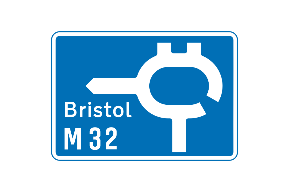
Directions from a roundabout ahead
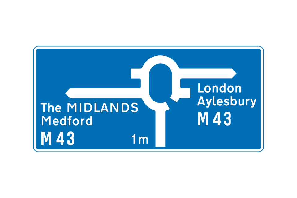
Motorway-to-motorway junction with a roundabout (motorway regulations continue to apply)
Appropriate lanes to use on the approach to the junction (sign located at the side of the slip road
Appropriate lanes to use on the approach to the junction (overhead sign over the slip road)
Appropriate lanes for turning movements at junction ahead
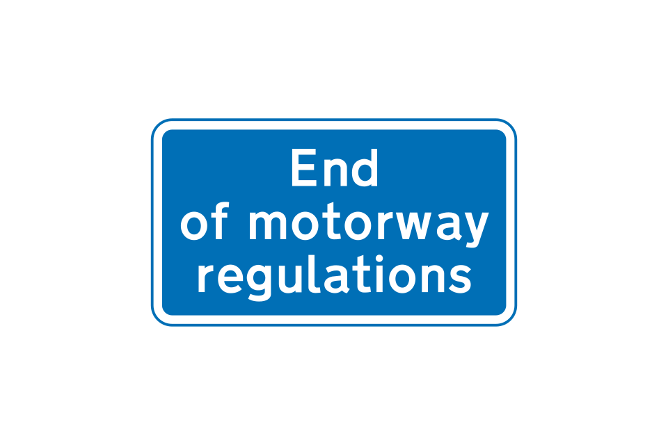
Motorway ends at a junction with an all-purpose road
Motorway ends at a junction with another motorway
Sign on exit slip road indicating directions to tourist attractions from a junction ahead
Sign at the side of the main carriageway
Sign indicating a place with several tourist attractions
Sign on exit slip road indicating directions to tourist attractions from a roundabout ahead
Where it is not practicable to provide tourist destination signs within 1 mile of a junction or there are more destinations than can be accommodated on the signs, this sign may be used in advance of the main 1 mile direction sign for the junction
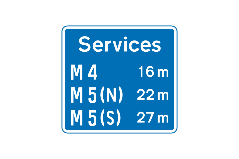
After each junction, a sign may show the distance to the next motorway service area
This sign may be used when there is a junction with another motorway before the next service area
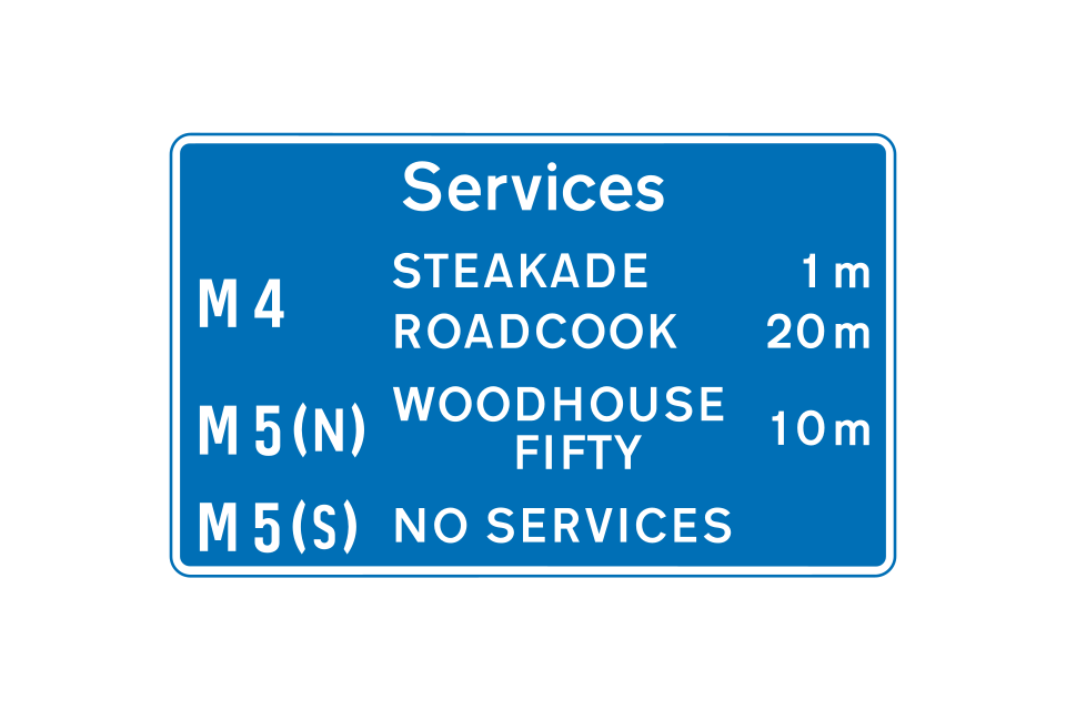
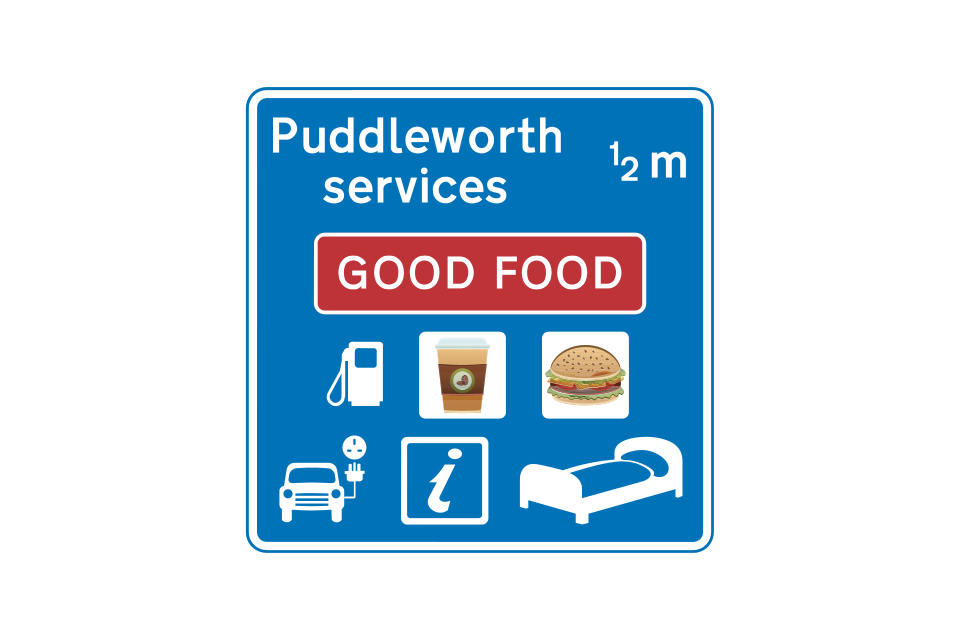
About 1 mile in advance of a service area, a sign may inform drivers of the availability of services ahead, including the names of the operators
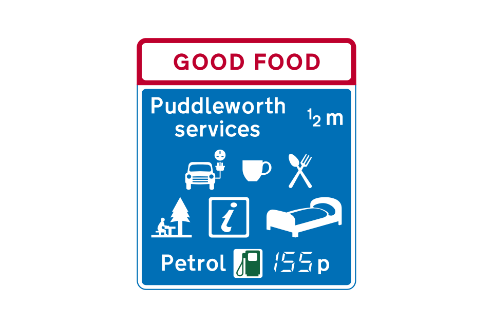
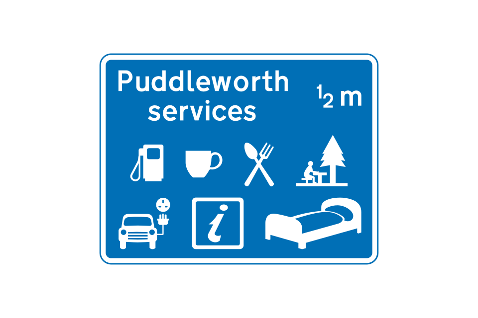
About ½ mile before the service the junction direction area (further if the services are at a junction), a sign informs drivers of the facilities available, and may include both the name of the operator and the geographical name
Sign located at start of the deceleration lane for a service area with direct access from the motorway
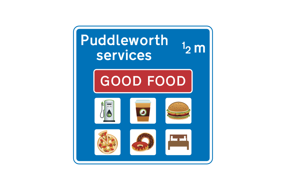
Motorway service area signs may display placeholders that contain the corporate identifier of a franchise operating on the site
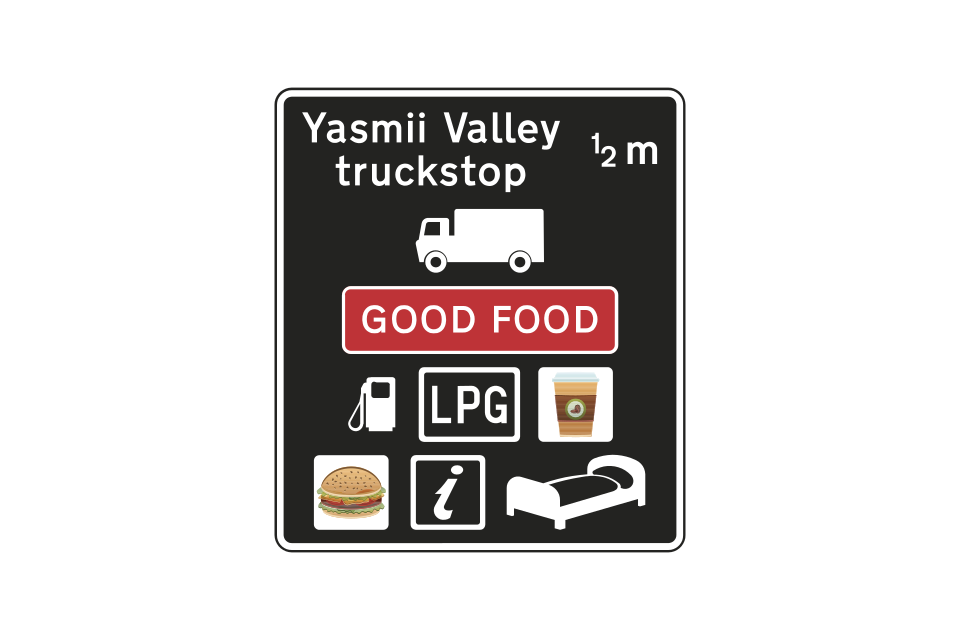
Sign indicating a motorway truckstop where parking, refreshments, toilets and fuel are available 24 hours a day throughout the year
Alternative signs indicating the entrance to a service area accessed directly from a motorway
Motorway service area ahead on an all-purpose road (sign located off the motorway)
Direction or entrance to a motorway service area located on an all-purpose road (alternative signs)
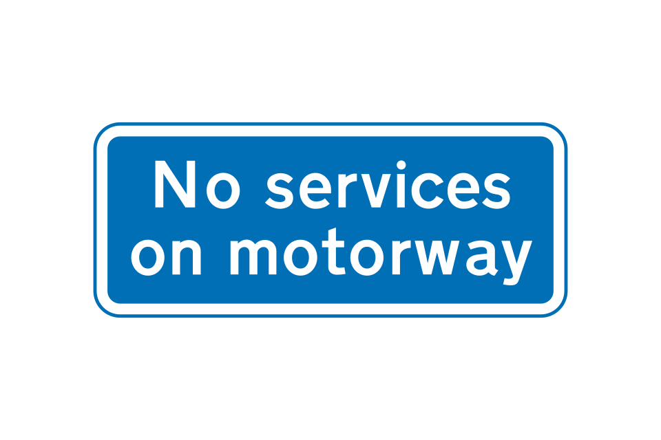
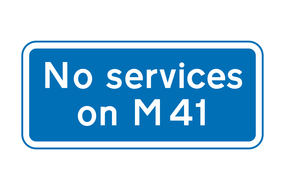
Signs may be provided to indicate that services are not available on the motorway
Sign on motorway indicating that no services are available ahead
Sign on all-purpose road indicating that no services are available on motorway ahead
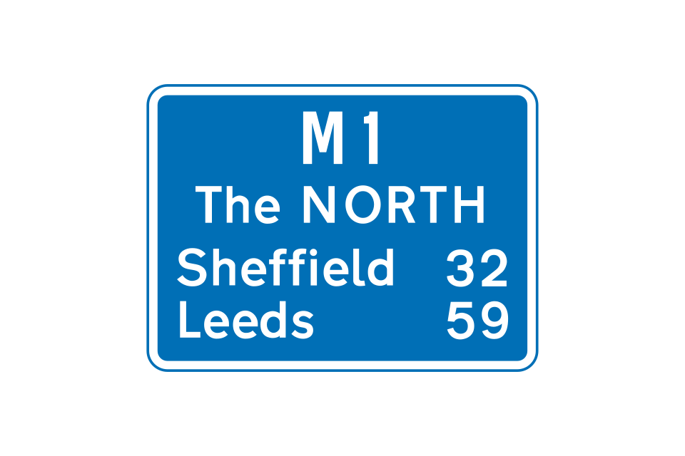
A route confirmatory sign is provided after most junctions
Where there are more destinations than can be accommodated on the direction signs at a junction, a sign such as this may be used in advance of the 1 mile direction sign
This sign indicates a slip road that leads to a maintenance compound and is not available to the general public
Where a motorway has been widened but the original bridges retained, there may be no hard shoulder under or over the bridge
Observation platforms are sometimes provided at the back of the hard shoulder
County boundary sign (may be varied to show the name of a river)
Marker posts, located at the back of the hard shoulder at approximately 100-metre intervals, show the direction to the nearest emergency telephone (housed in an orange box)
These advise of abnormal traffic conditions ahead (e
Direction of route recommended for goods vehicles
This sign is located before the 1 mile advance sign for a junction ahead
Sign located at the entrance to a service area accessed directly from the motorway, or a maintenance compound
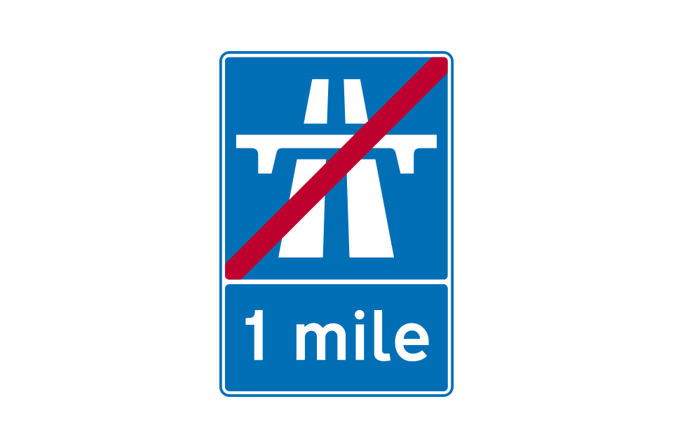
Sign located on main carriageway to indicate the distance to the end of the motorway
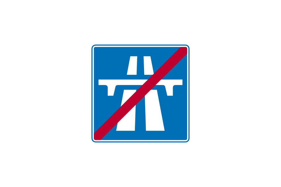
Sign located where the motorway ends on either the main carriageway or exit slip road
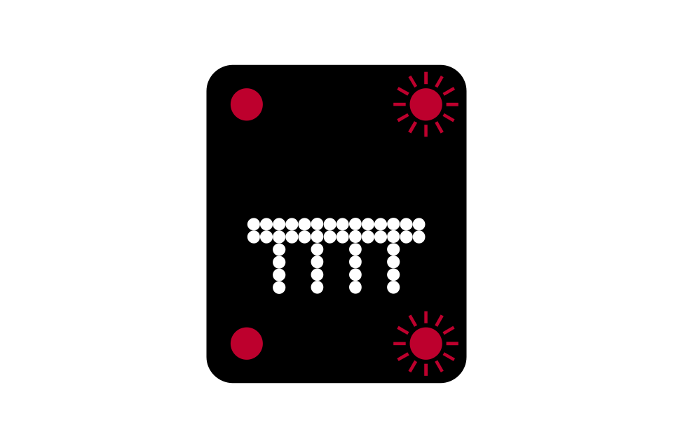
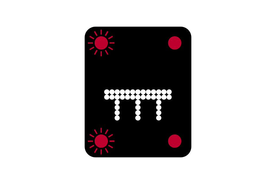
Red lights flashing from side to side in pairs, together with a red cross, mean ‘do not proceed in the traffic lane directly below’
Red lights flashing from side to side in pairs, together with a red cross displayed on a sign at the side of the motorway, mean ‘do not proceed in the lane to which the sign relates’
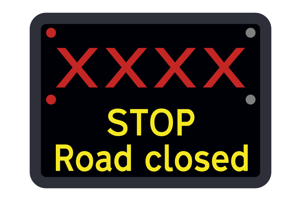
Where red flashing light signals and closure of all lanes are shown on a sign, the road is closed
Each lane has its own signal; each signal has 2 pairs of amber lights that flash from top to bottom
Temporary maximum speed advised for prevailing traffic conditions
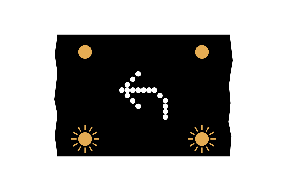
Move to adjacent lane (arrow may point downwards to the right)
Leave motorway at next exit
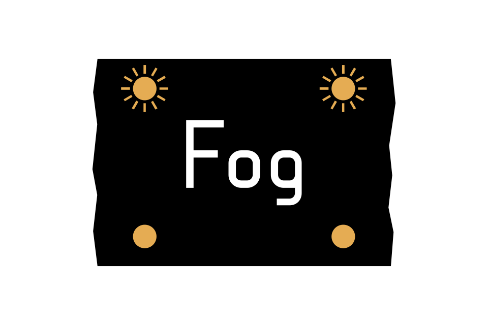
Risk of fog ahead
Risk of ice ahead
End of temporary restrictions
60 mph speed limit signs displayed
Move to right-hand lane arrow displayed
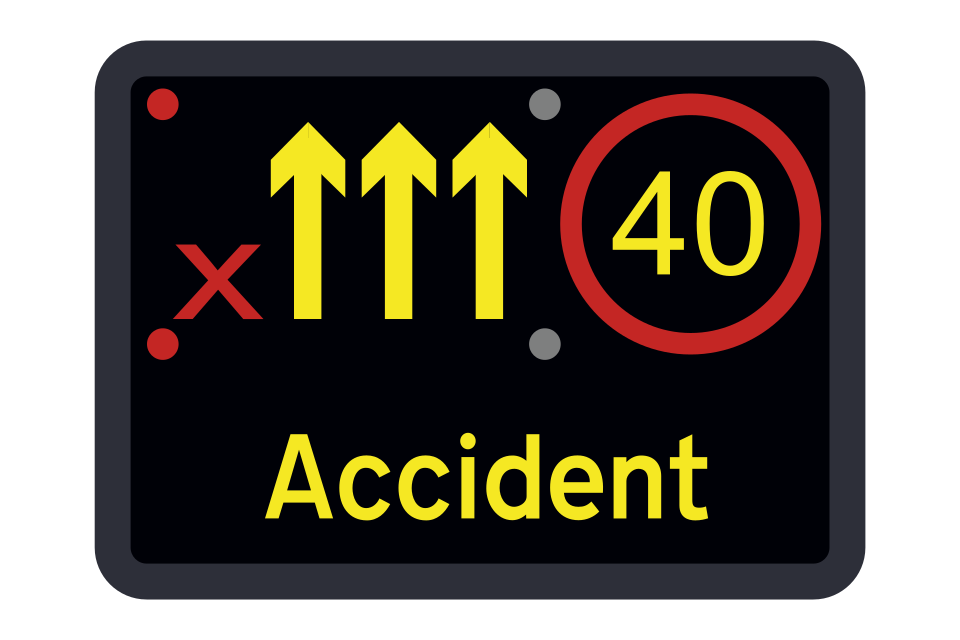
Red flashing light signals and a red ‘X’ on a sign identify a closed lane
National speed limit applies after the incident
Various lane closures (signs for carriageways with 4, 3 or 2 lanes)
Temporary maximum speed advised
Leave motorway at next exit
Risk of fog ahead
Risk of ice ahead
End of temporary restrictions
60 mph speed limit with warning of a lane closure ahead
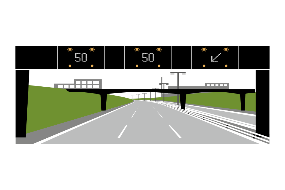
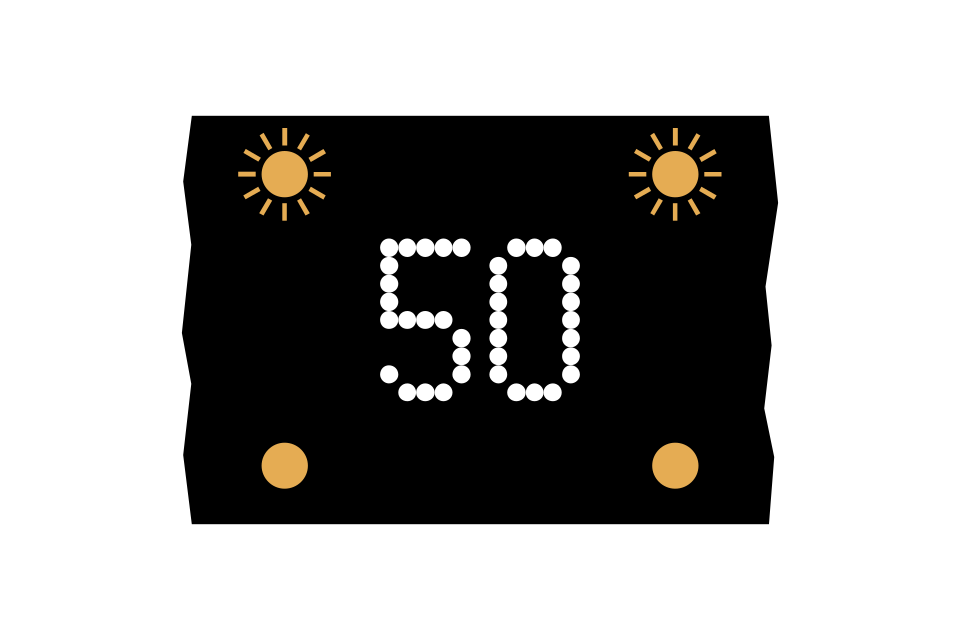
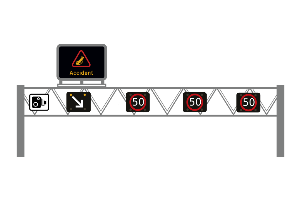
You should move out of the left lane and must not exceed 50 mph
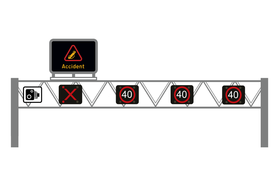
Red flashing light signals and a red ‘X’ on a sign identify a closed lane
End of lane closure and speed limit after incident
All lanes closed (signs for carriageways with 4, 3 or 2 lanes)
On some motorways, particularly in Scotland, you may encounter this type of signal mounted at the side of the carriageway
Emergency area
Sign indicating distance to next emergency area
To rejoin the carriageway after stopping from:
Keep well away from your vehicle and moving traffic
Emergency area information sign
Junction ahead between 2 primary routes
Junction ahead between 2 non-primary routes
Sign on a primary route indicating a non-primary route
Sign on a non-primary route indicating a primary route
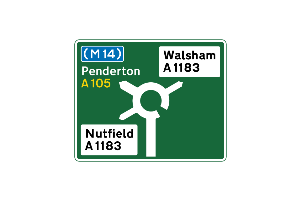
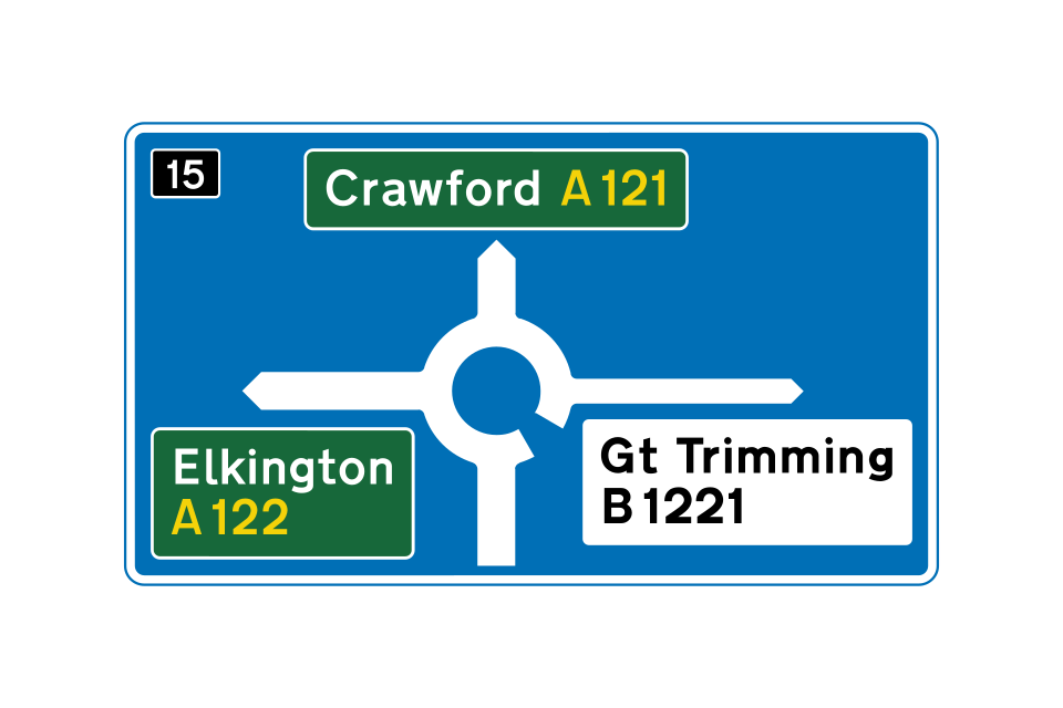
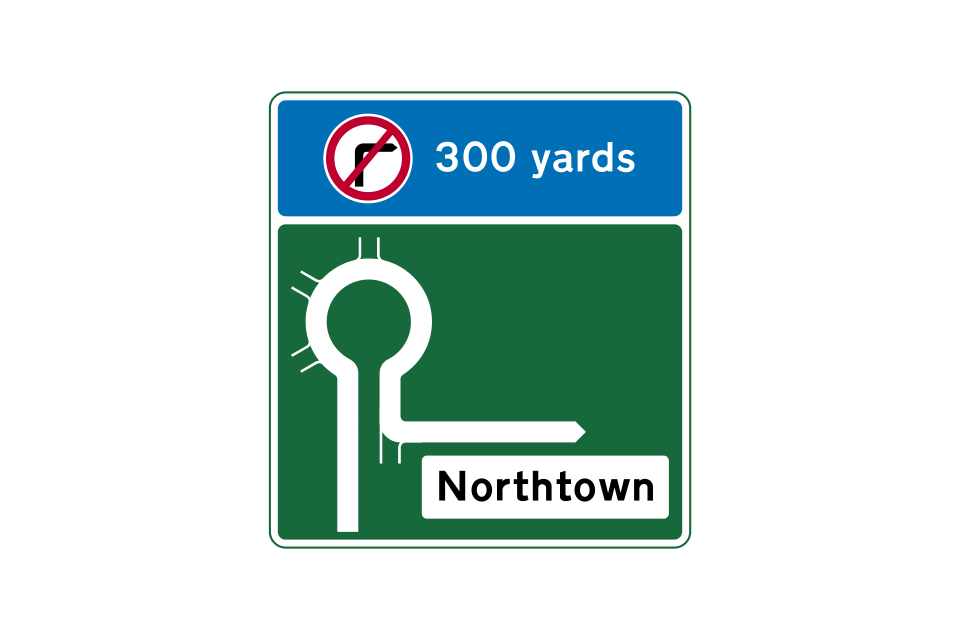
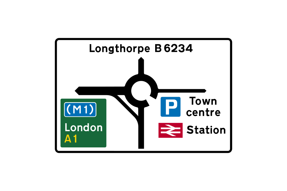
Map-type sign on primary route indicating a roundabout ahead
Map-type sign for a mini-roundabout
Examples of stack-type signs
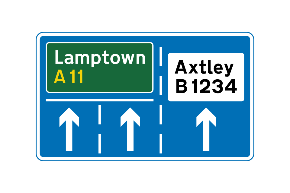
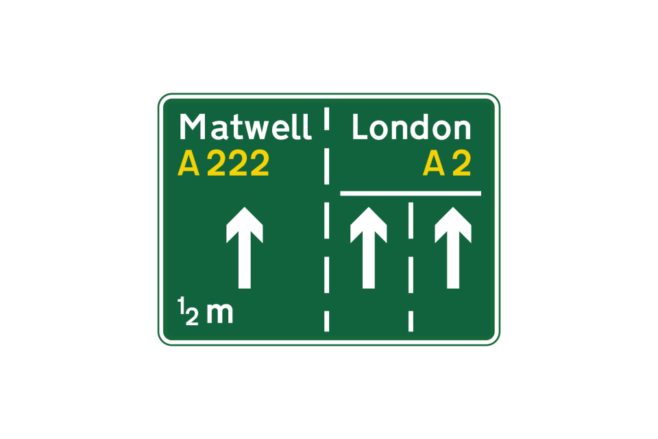
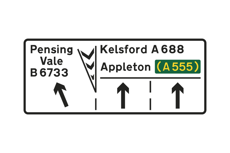
A sign that indicates the appropriate lanes to use for turning movements at a junction ahead is sometimes used in conjunction with, or instead of, a map-type or stack-type sign
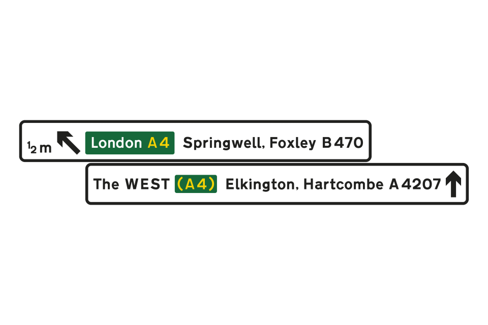
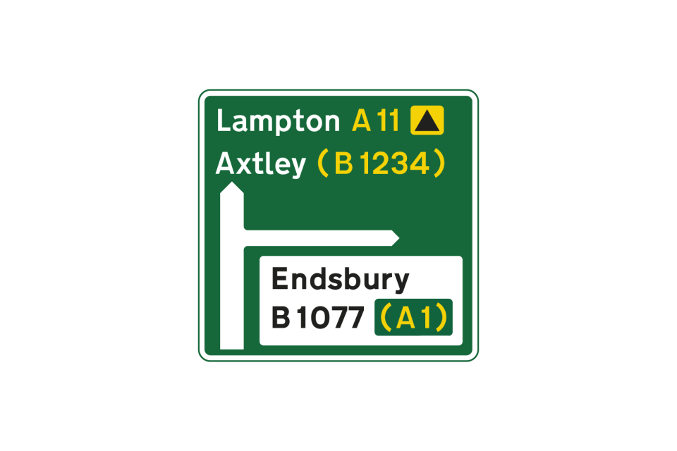
Route numbers in brackets are roads that will be reached by following the route indicated
Flag-type sign indicating a primary route that leads to a motorway and to a non-primary route
Rectangular sign at a junction, indicating both a primary and a non-primary route
Flag-type sign indicating a non-primary route
Rectangular sign at a junction, indicating a non-primary route
This sign indicates that a U-turn should be made at a roundabout ahead in order to follow the route to the destinations shown
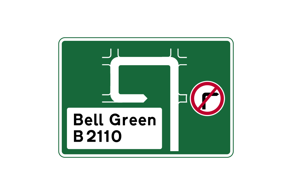
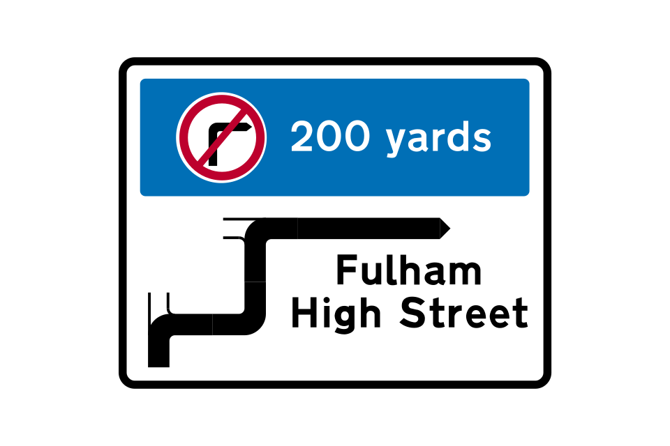
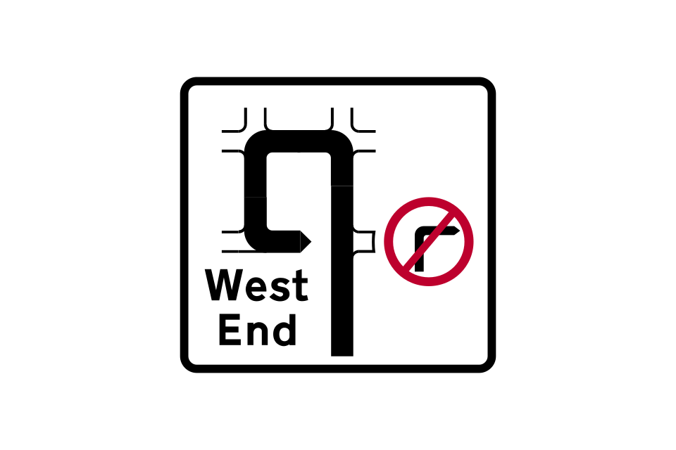
Where a turning movement is prohibited, signs may show an alternative route
Direction sign showing distances to destinations
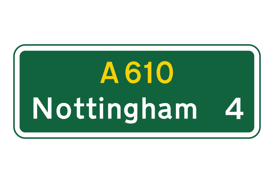
Route confirmatory sign
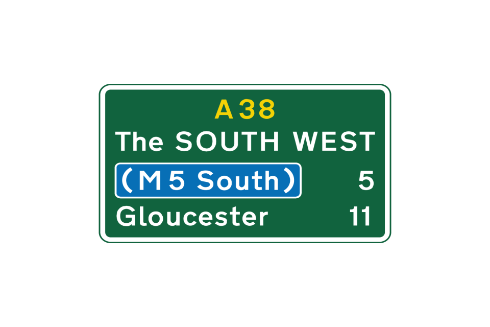
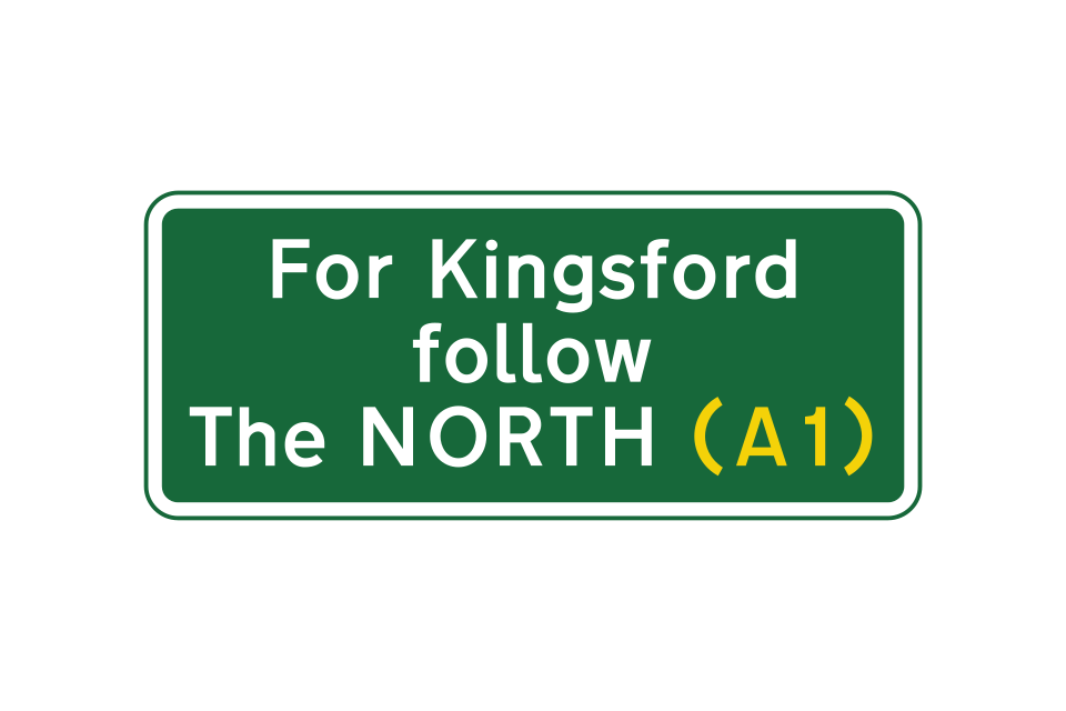
Route confirmatory sign including a regional destination (The SOUTH WEST) and the distance to a motorway
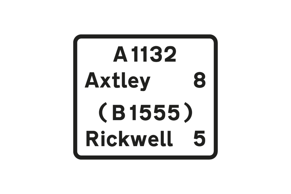
Route confirmatory sign: Axtley is on the current route; Rickwell is reached by turning onto the B1555 at a junction ahead
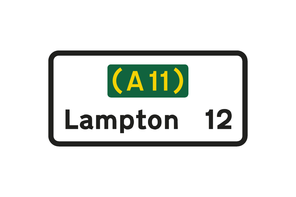
Route confirmatory sign on a non-primary route leading to a primary route
Where the junction ahead is between 2 primary routes, any non-primary route at the same junction is not shown on a white panel
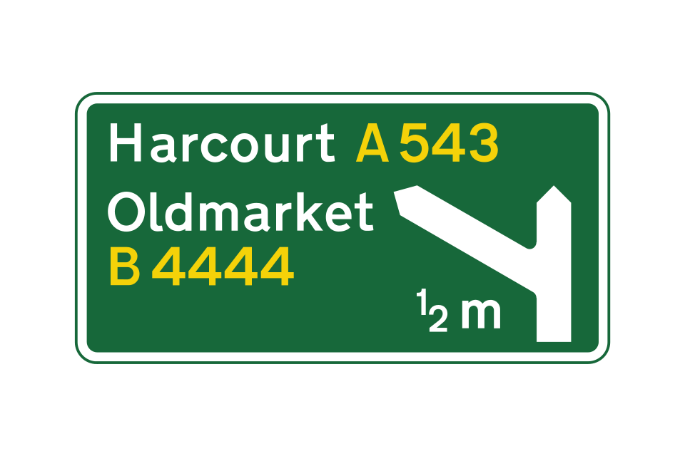
The junction ahead is with a non-primary route only, with the destination shown in a white panel
This sign is located at the start of the deceleration lane
Countdown markers indicate the distance to the start of the deceleration lane
A final route direction sign is usually located where the exit slip road separates from the main carriageway
Signs on a non-primary route
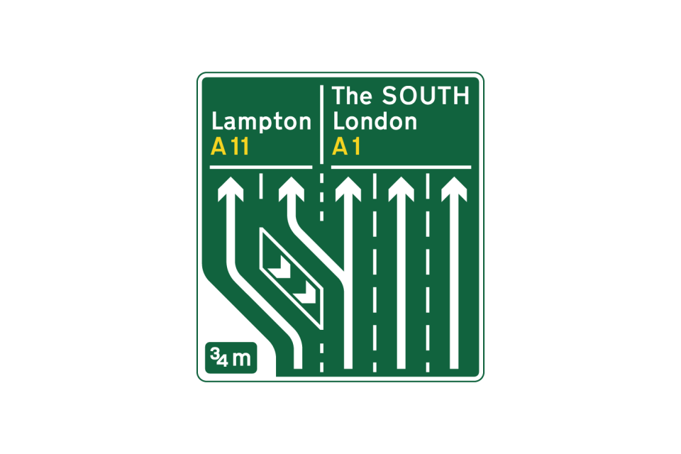
Sign mounted at the side of the carriageway giving indication of a road layout at a junction ¾ mile ahead on a primary route, where the left-hand lane leaves the main carriageway and where the same exit can be accessed from lane 2
An indication of appropriate traffic lanes at a junction or at a junction ahead where the left-hand lane divides into 2, with the additional lane on the left leading to a different destination (diagram shows colours applicable to sign on a non-primary route)
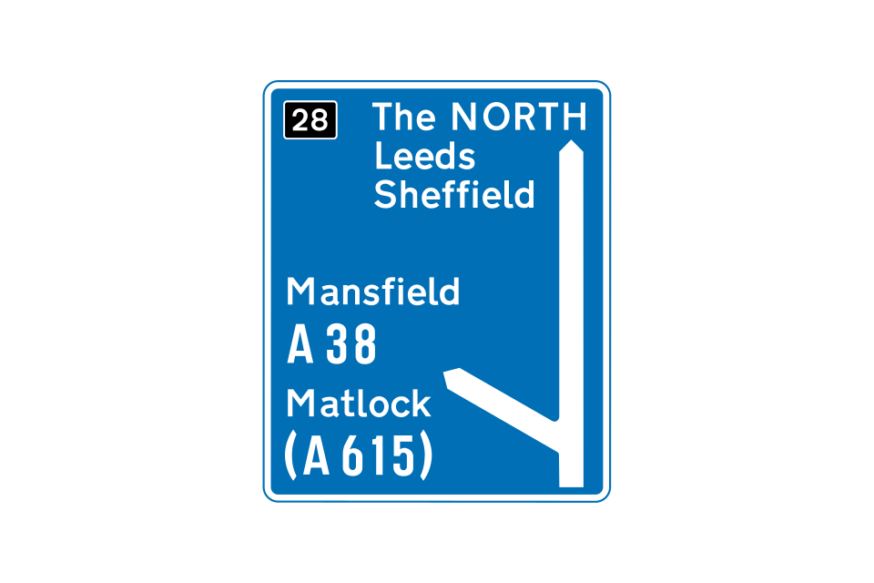
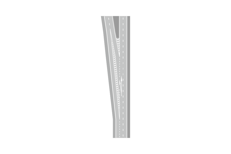
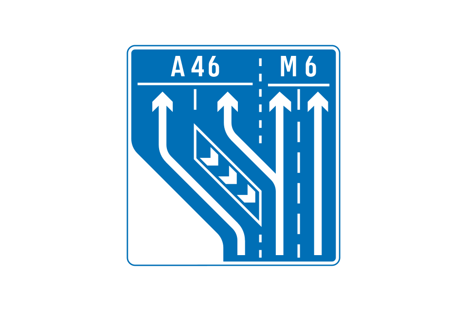
Signs incorporating a ‘Y arrow’ are used on motorways and in other high-speed situations where a lane divides to reach different routes (diagram shows colours applicable to sign on a primary route)
Primary route sign
Non-primary route sign
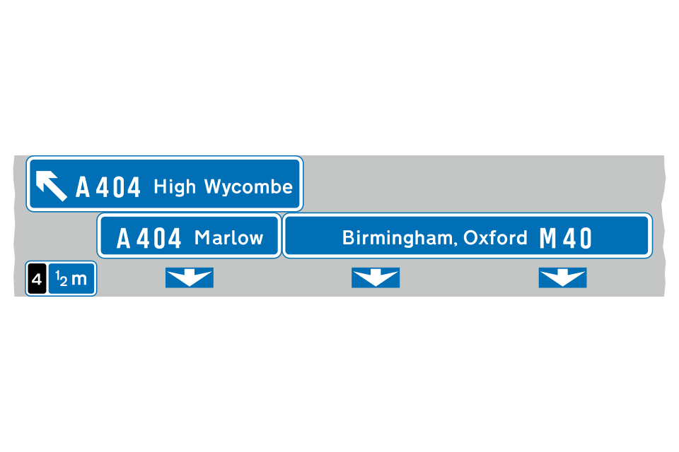
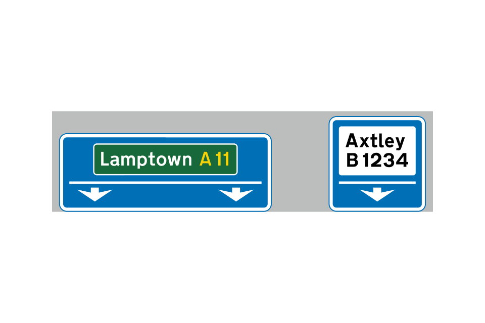
Signs mounted at the side of the carriageway in advance of the junction
Signs mounted at the side of the carriageway just before the left-hand lane leaves the main carriageway
Overhead signs
Overhead signs
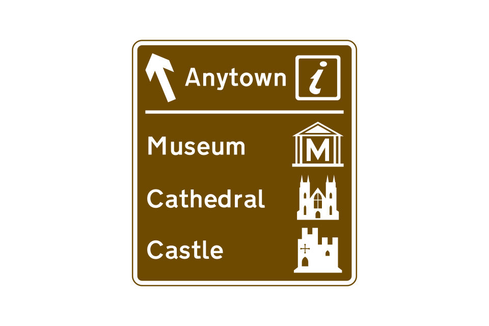
Symbols are often used to indicate the type of destination
There are also symbols for sports and leisure facilities
Tourist information
Castle
Historic house
National Trust
English Heritage
Theme park
Country park
Bird garden
Nature reserve
Farm park
Safari park
Beach
Museum (England)
Roman remains
Aviation museum
Football ground
Cricket ground
Sports centre (England)
Motor sport
Golf course
Race course
Fishing
Cycle hire
Ten-pin bowling
Ski slope
England
Scotland
Wales
This sign is used in advance of a junction, advising drivers of the route to be followed where it is not practicable to sign a tourist destination at the junction itself
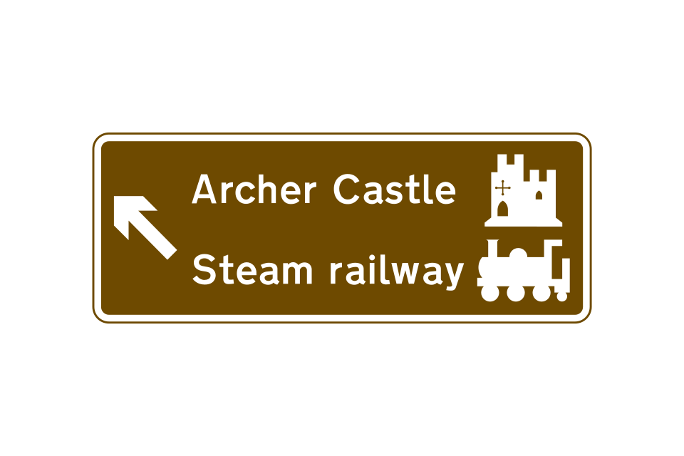
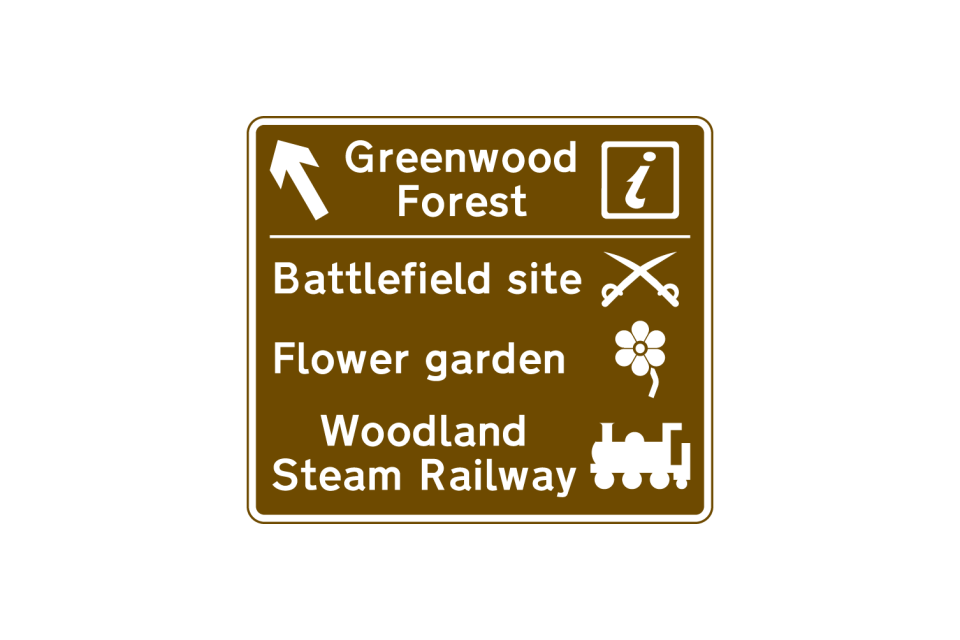
Direction signs may indicate a route through an area of special interest
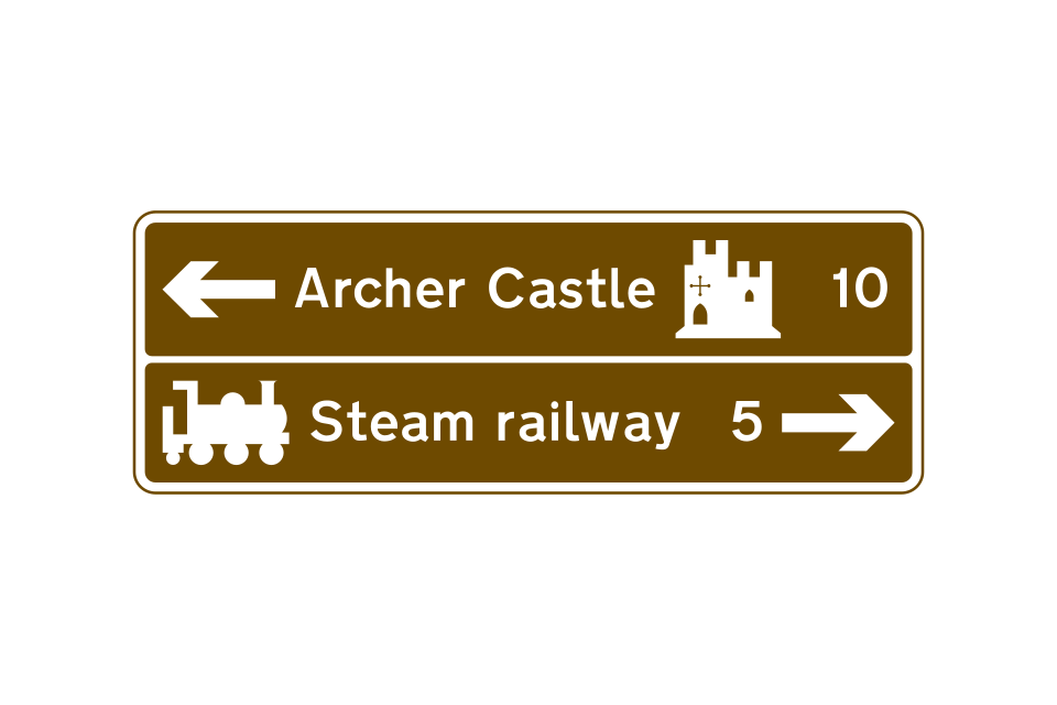
Signs showing the distance ahead to a tourist attraction
On the approach to a junction, a sign may indicate a town or geographical area with several tourist attractions
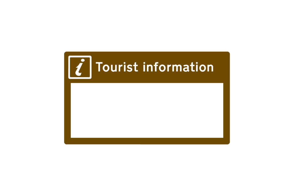
Location of tourist information point or centre
Tourist information board (sign for pedestrians)
Direction to a tourist information point or centre
Direction to a parking place associated with a tourist attraction
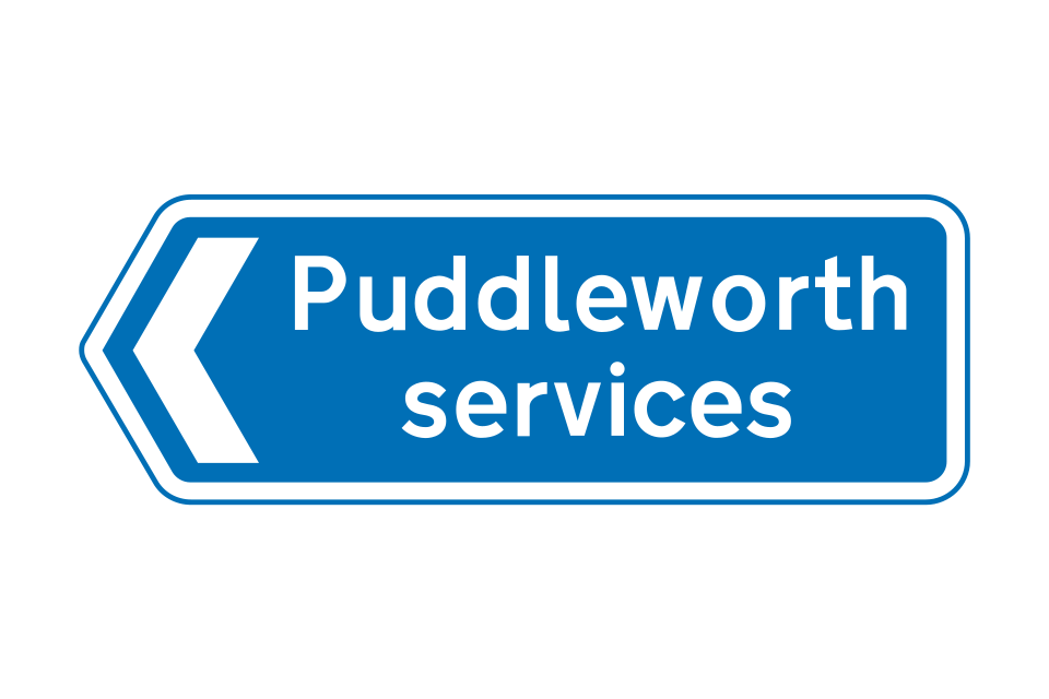
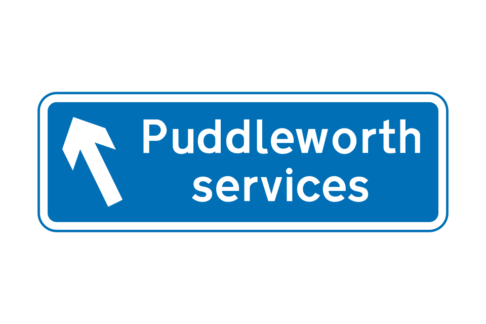
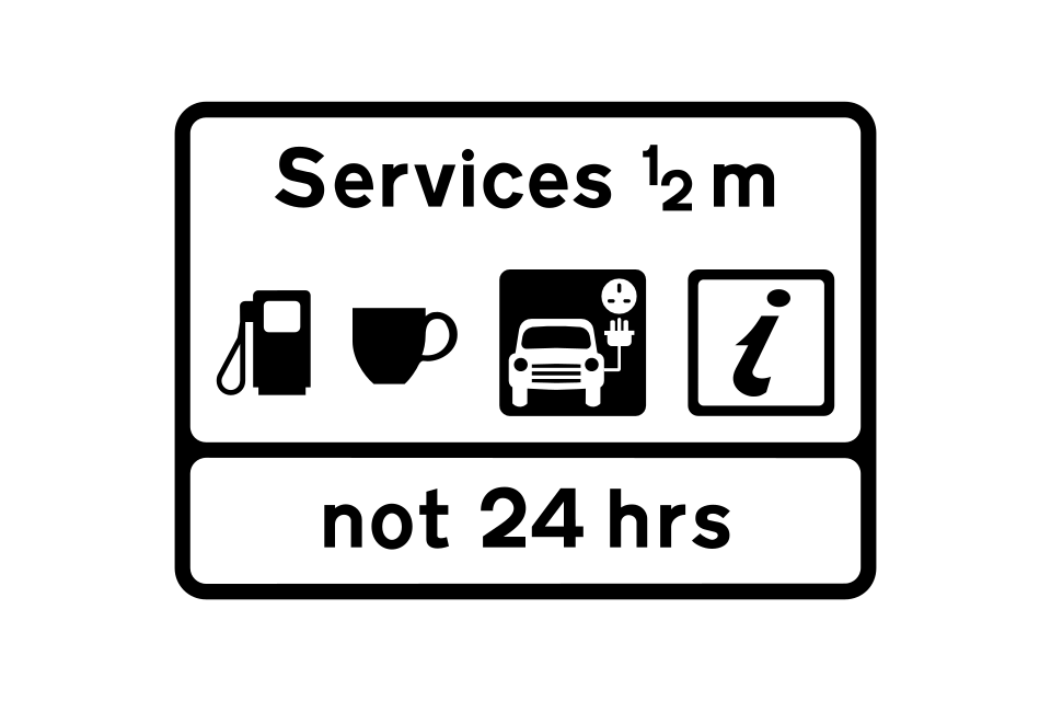
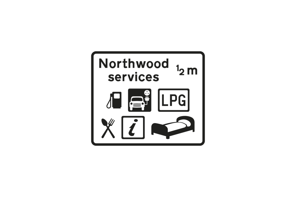
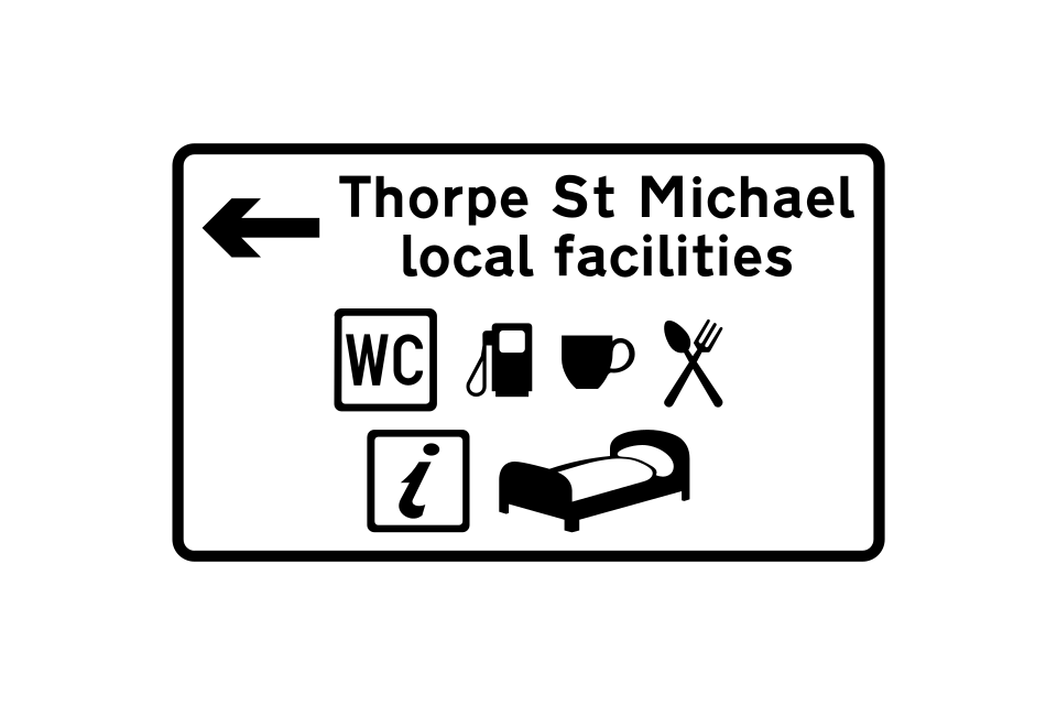
Distance to services
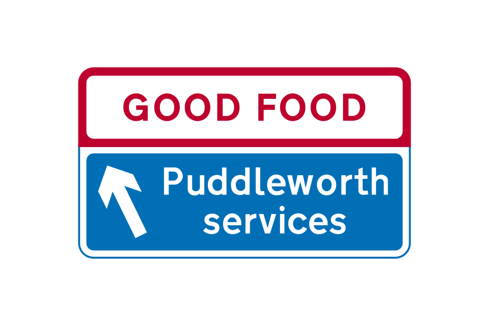
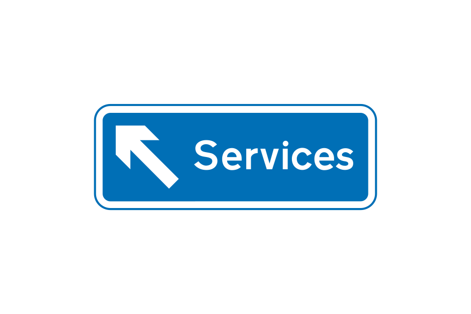
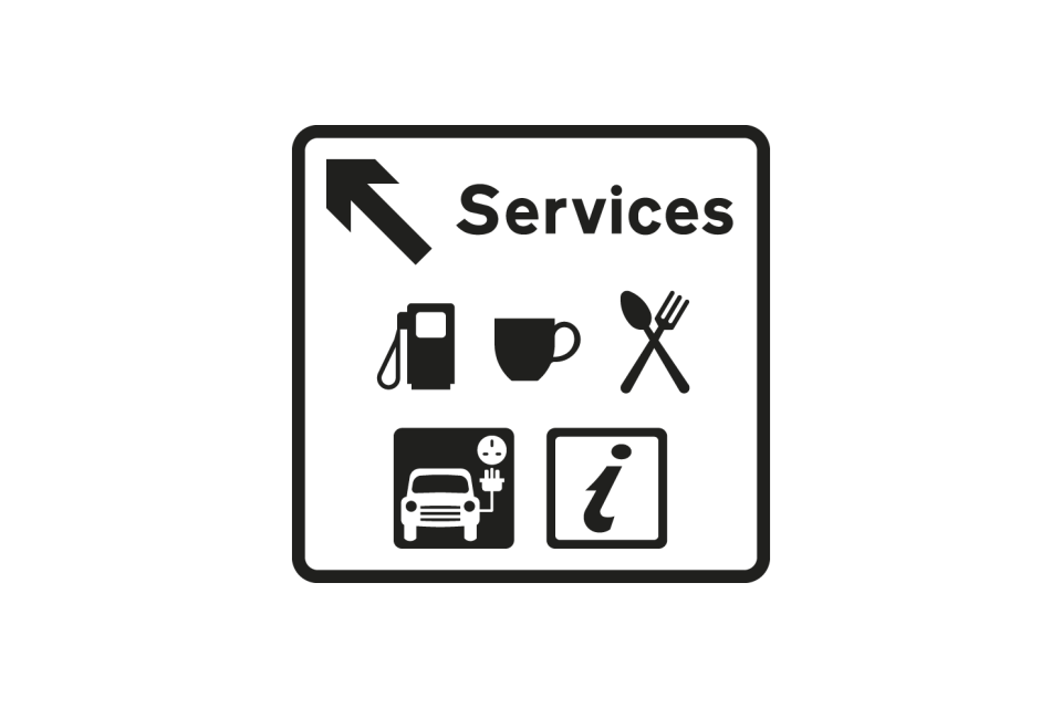
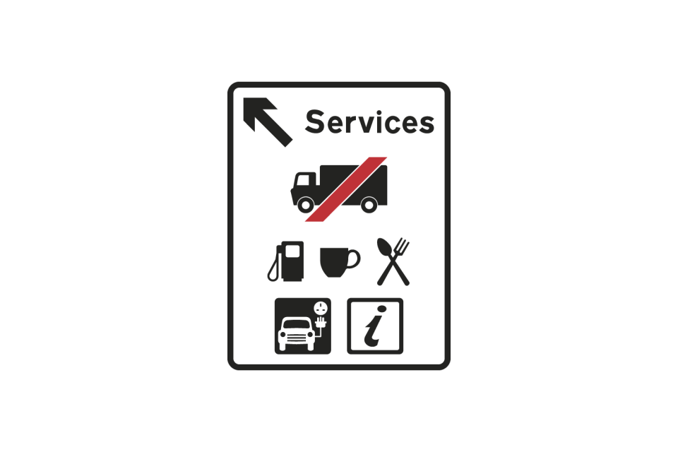
Direction to services
Alternative signs indicating the entrance to services
The services may have a geographical name
Alternative signs indicating the entrance to services
Signs on the approach to the junction
Signs located where traffic turns at the junction
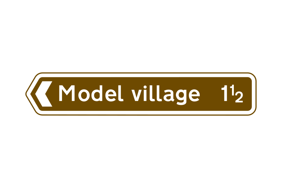
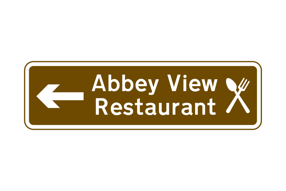
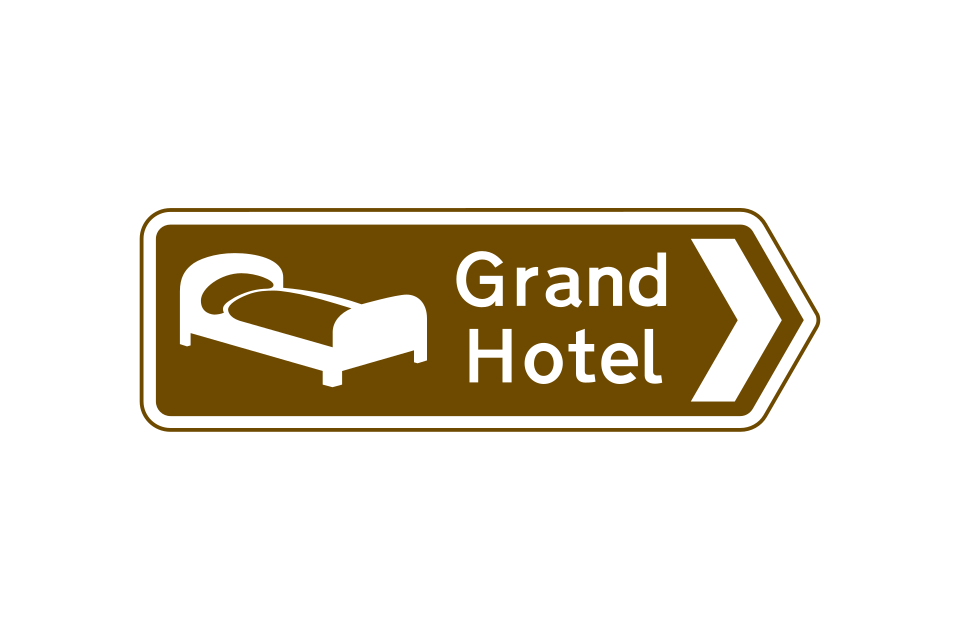
Brown signs may indicate establishments that provide restaurant facilities, light refreshments or overnight accommodation
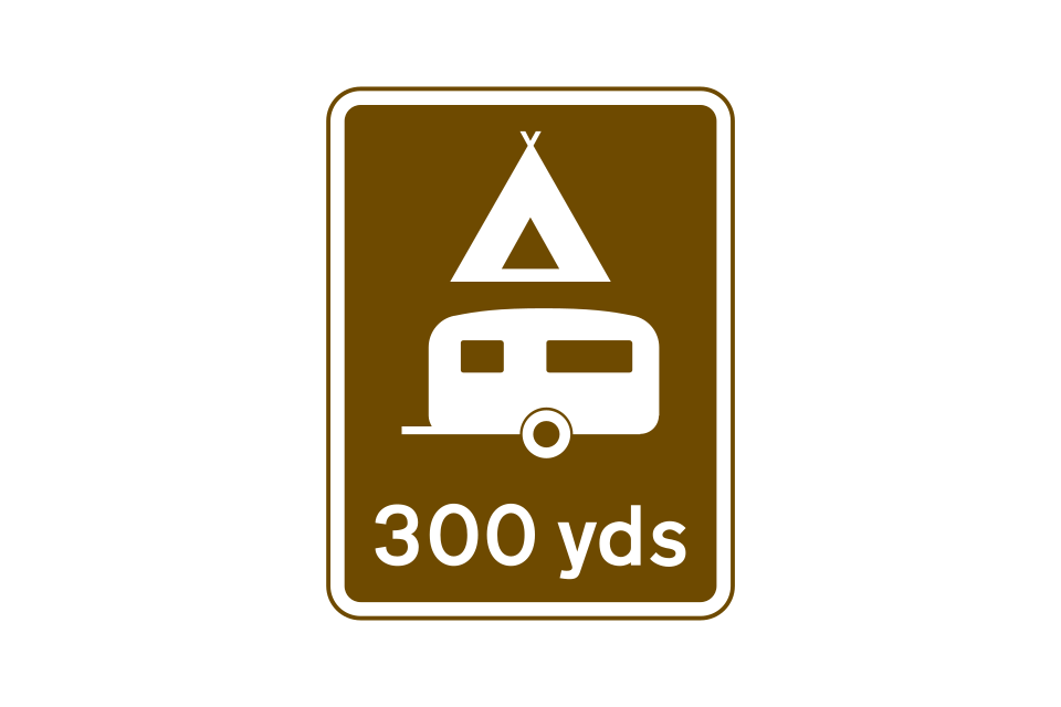
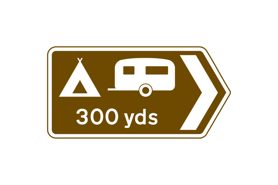
Camping and caravan site: the tent or the caravan symbol may be omitted, depending on the facilities available
Youth hostel
Youth hostel
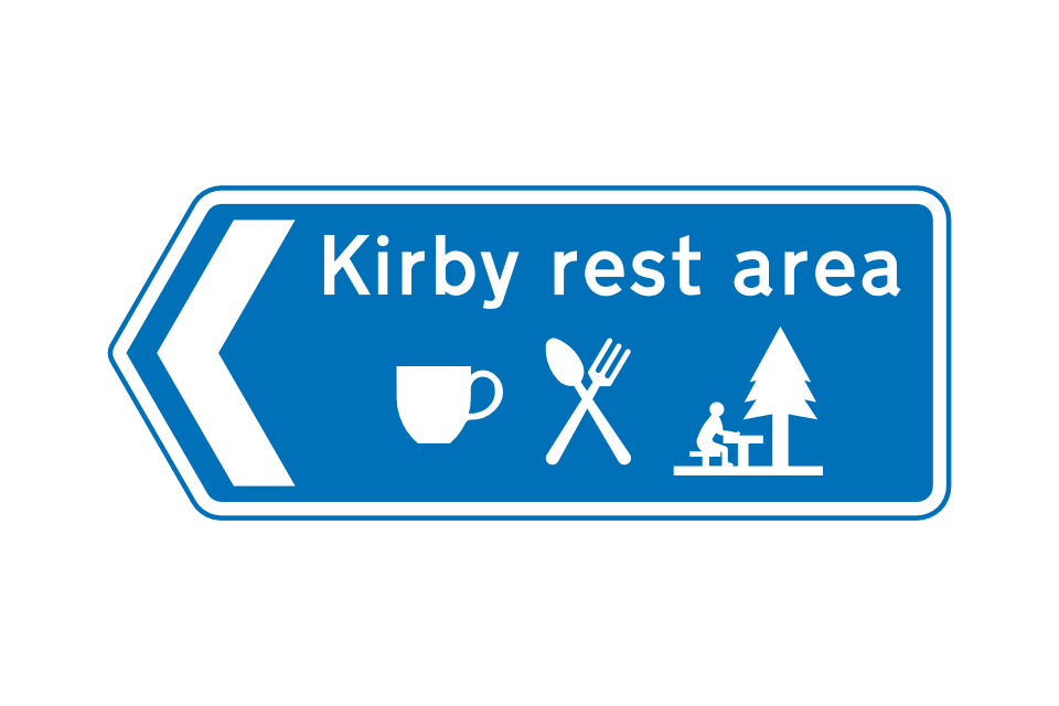
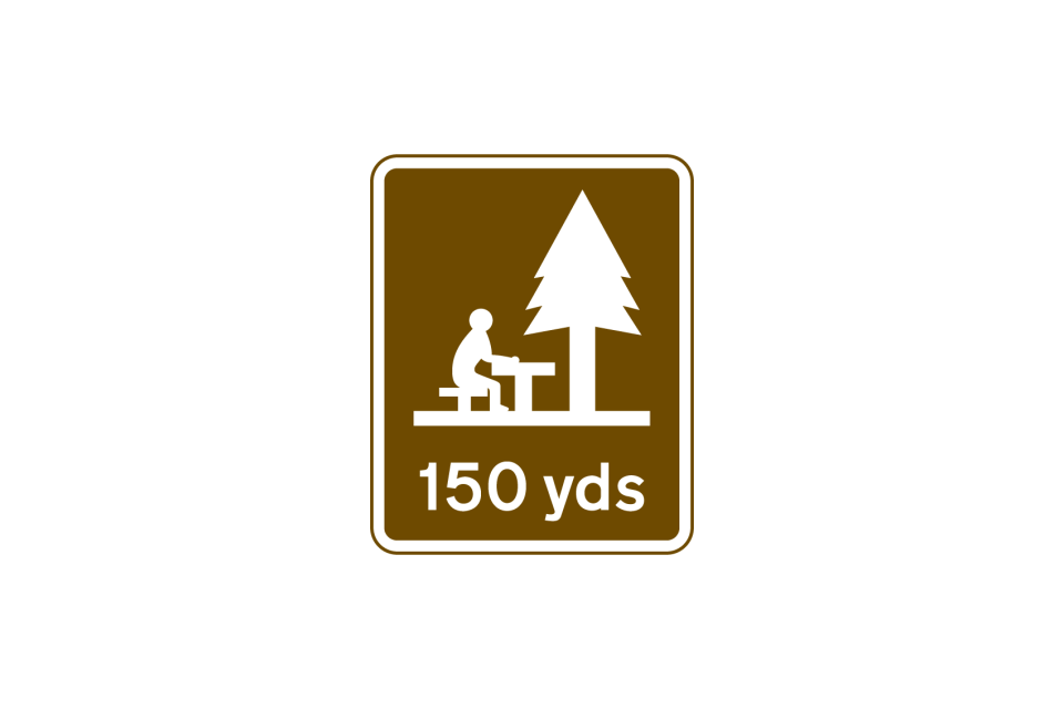
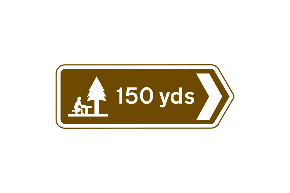
Picnic area: may include a name
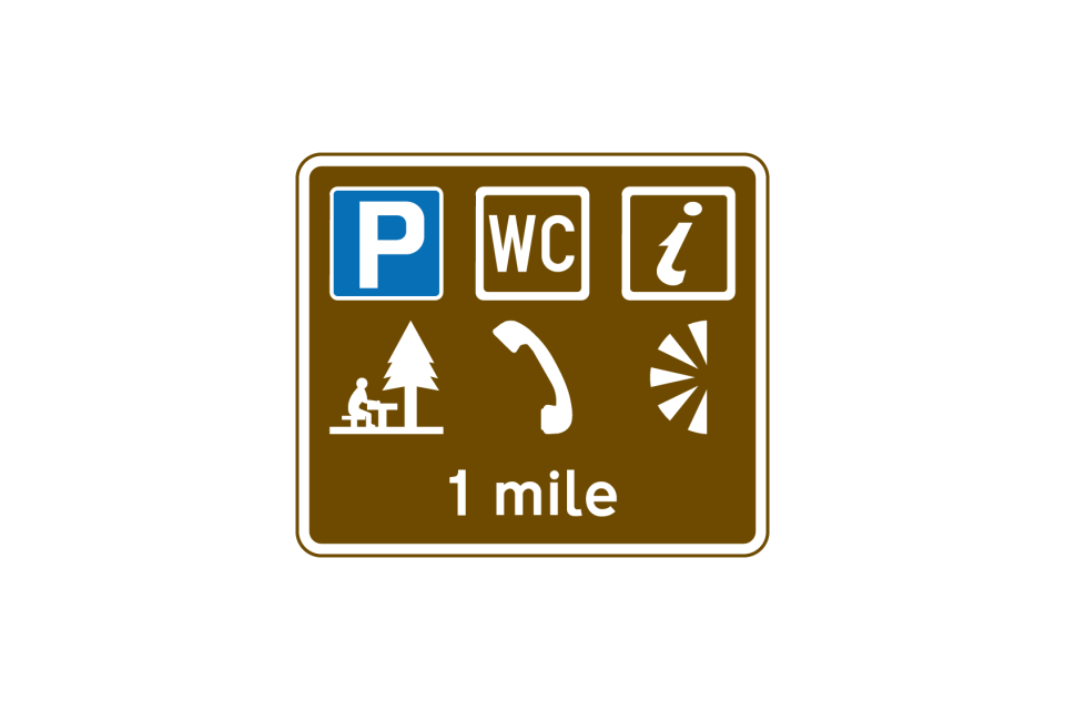
Distance to a parking place with toilets, tourist information, picnic area, telephone and viewpoint
The signs may include various details about the parking places
Where parking places in different directions are shown on a sign in advance of a junction, the ‘P’ symbol may be shown at the top of the sign only
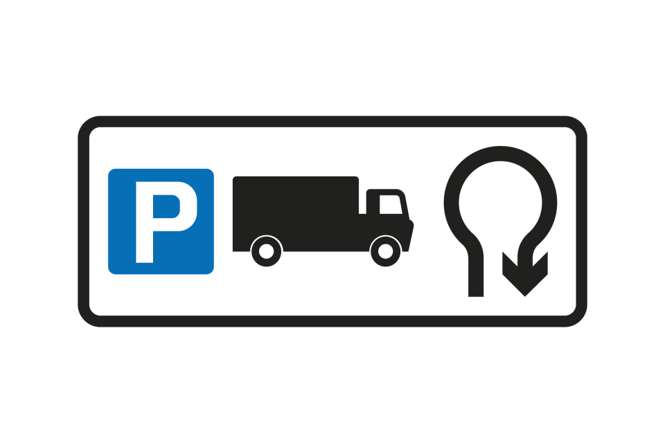
Where a parking place is for a particular class of vehicle, this may be shown by the appropriate symbol
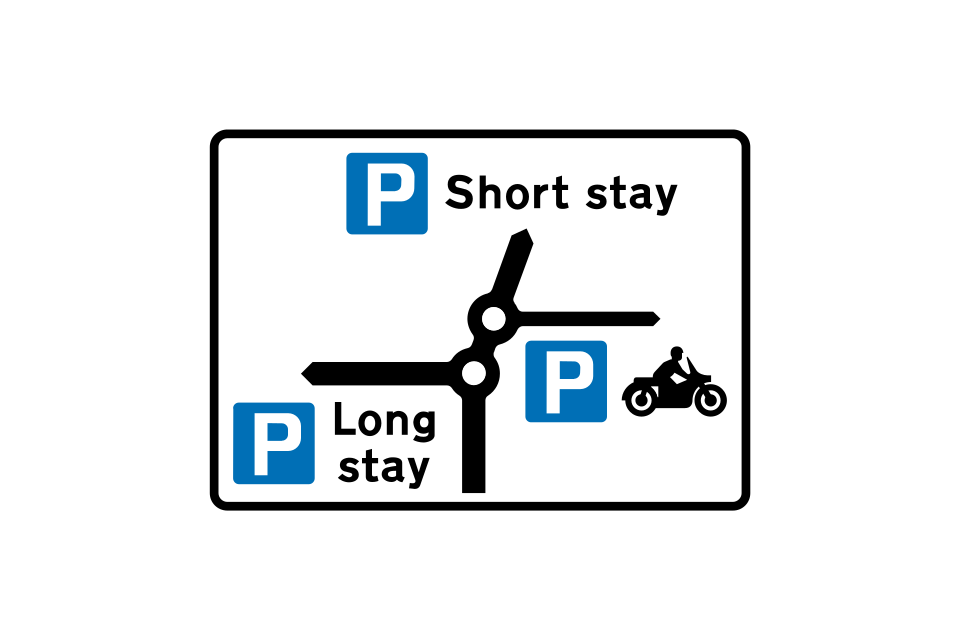
This map-type sign indicates the direction of routes to parking places from a double mini-roundabout ahead
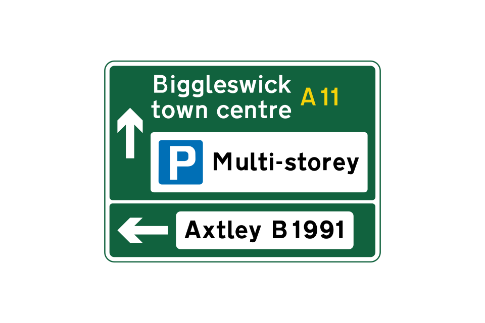
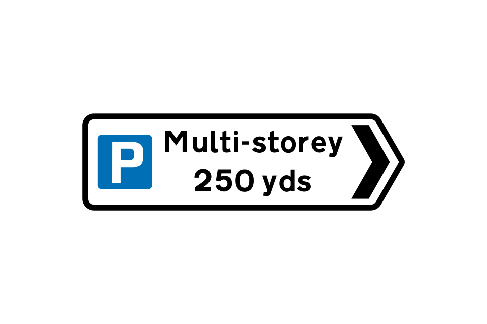
Direction and distance to a multi-storey car park
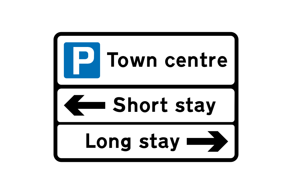
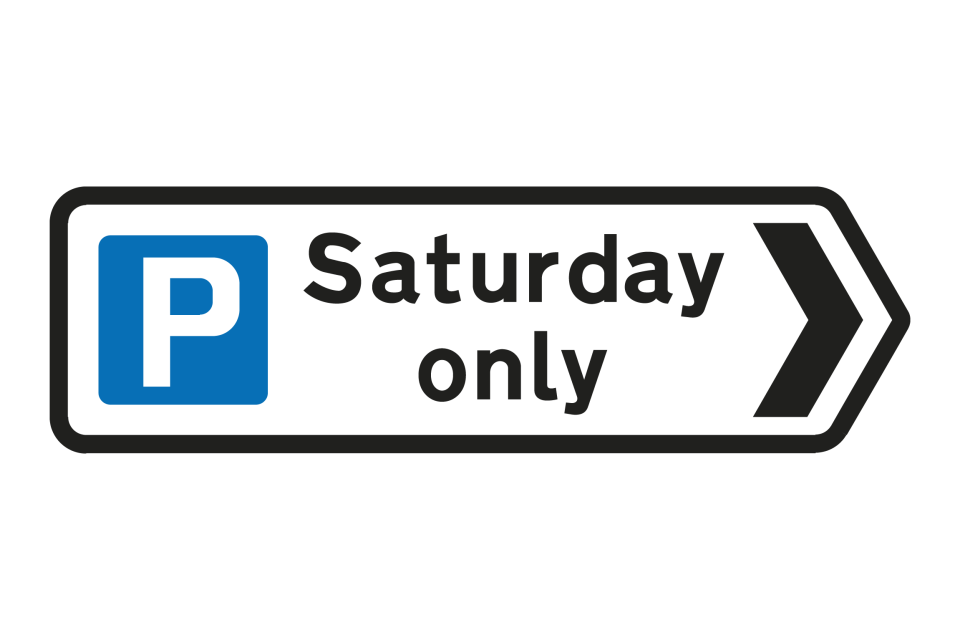
Direction to a parking place that is available on certain days only
A variable message sign may indicate the availability of spaces at each parking place
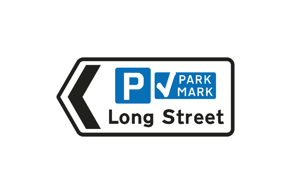
Direction to a parking place that has been approved by the police under the Safer Parking Scheme
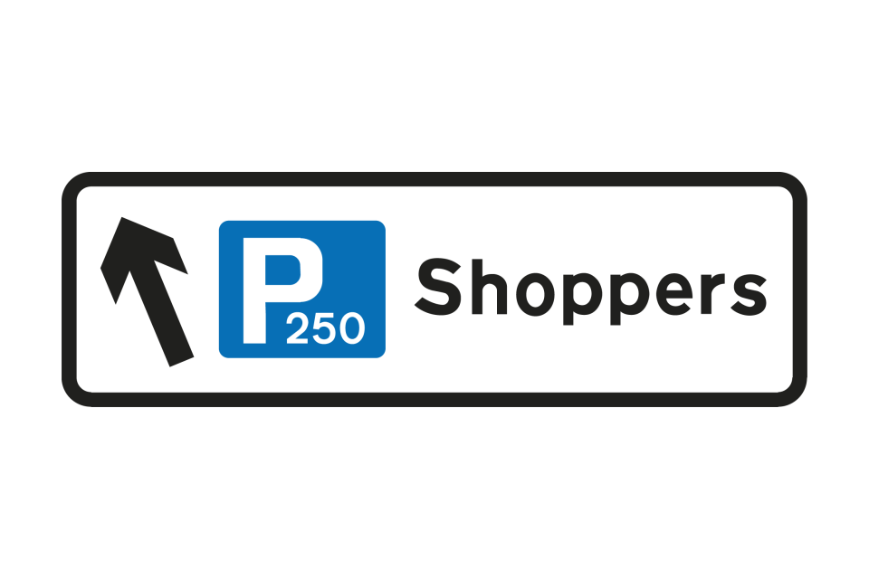
Direction to a parking place showing the total number of spaces
Sign showing the facilities available at a parking place ahead
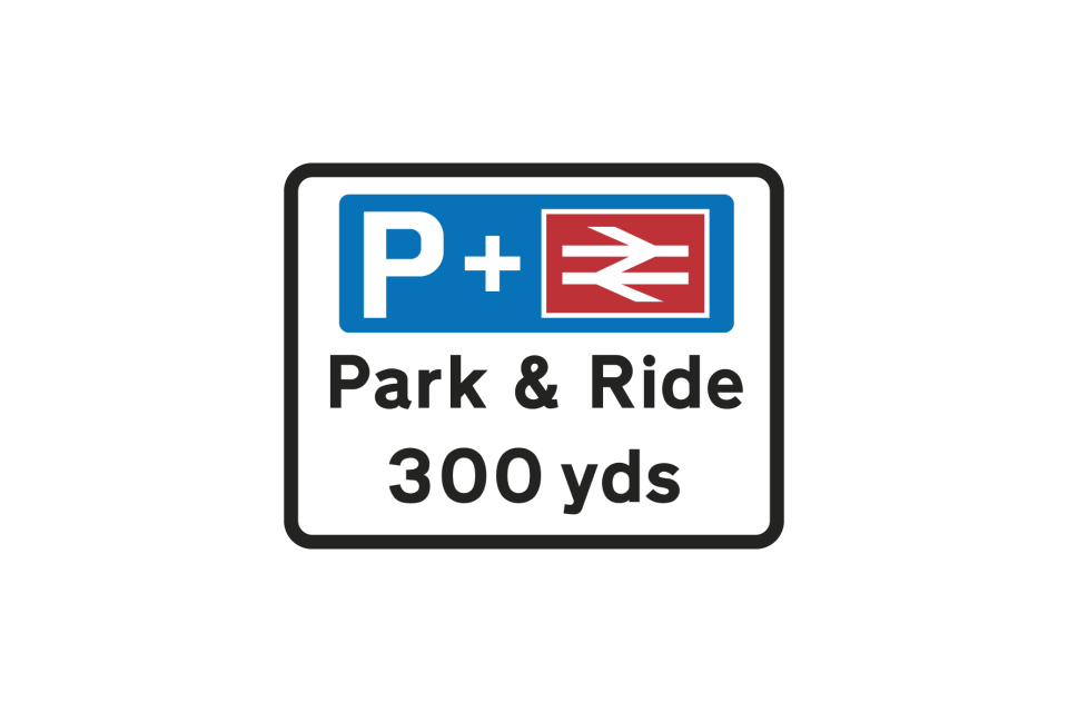
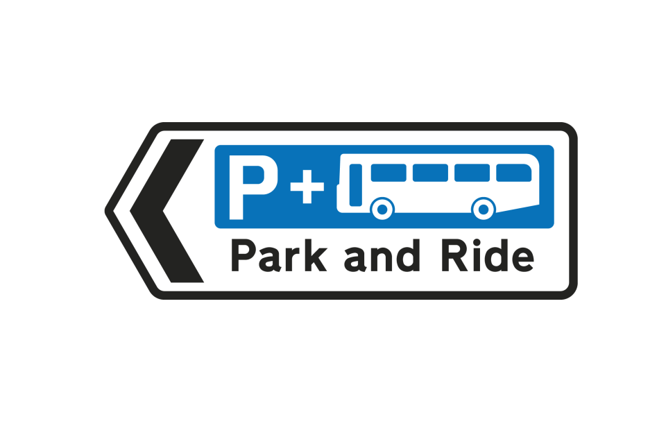
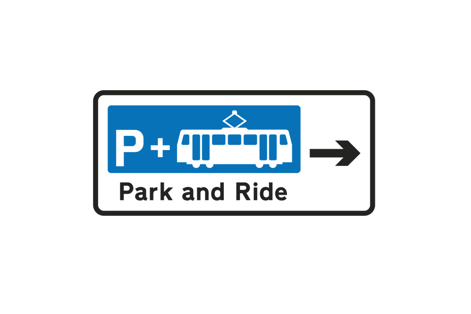
Signs may indicate the location of parking places associated with ‘Park and Ride’ schemes
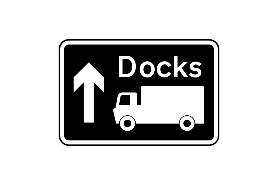
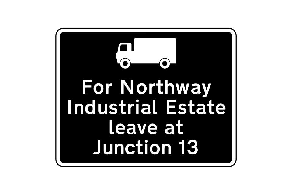
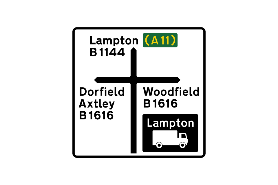
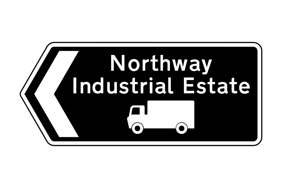
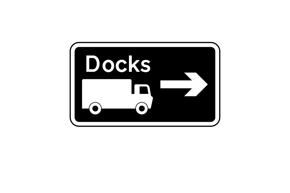
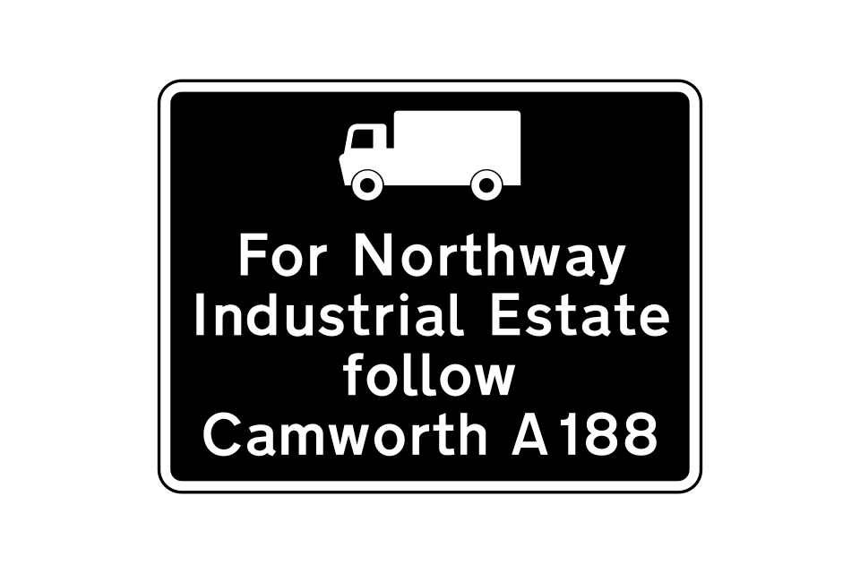
Routes recommended for goods vehicles have black signs with a white lorry symbol
Direction sign at a junction
Direction signs on the approach to a junction
This sign is used in advance of a junction, advising drivers of goods vehicles of the route to be followed where it is not practicable to sign the route at the junction itself
The symbol on this sign may be replaced by route numbers
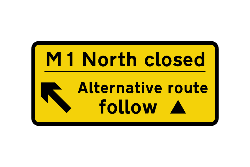
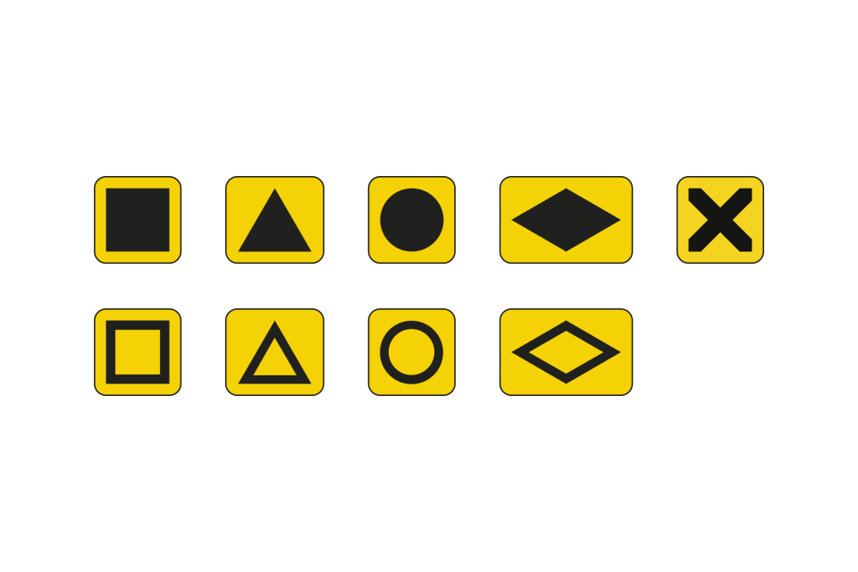
Symbols that may be used to indicate a diversion route
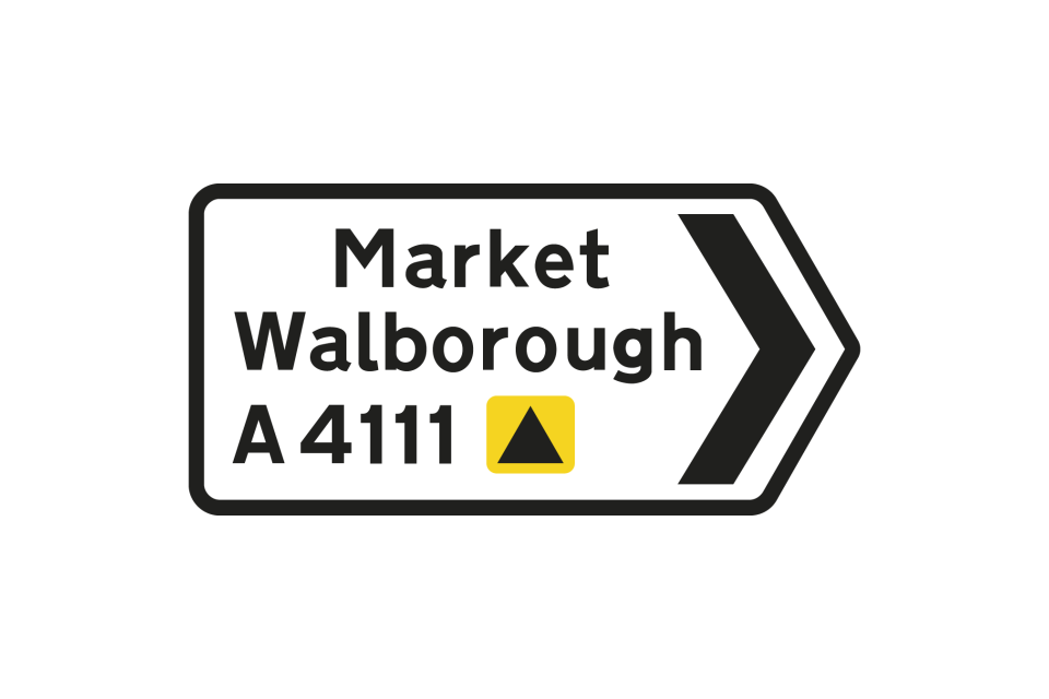
Signs incorporating a diversion route symbol that is shown alongside the road number of the route that drivers should follow
Separate signs indicating a diversion route (may be permanently displayed)
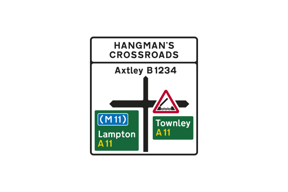
Direction signs at the junction may incorporate warning triangles or prohibitory roundels
The name of the junction ahead may be shown at the top of the sign
Signs may incorporate hazard warning triangles
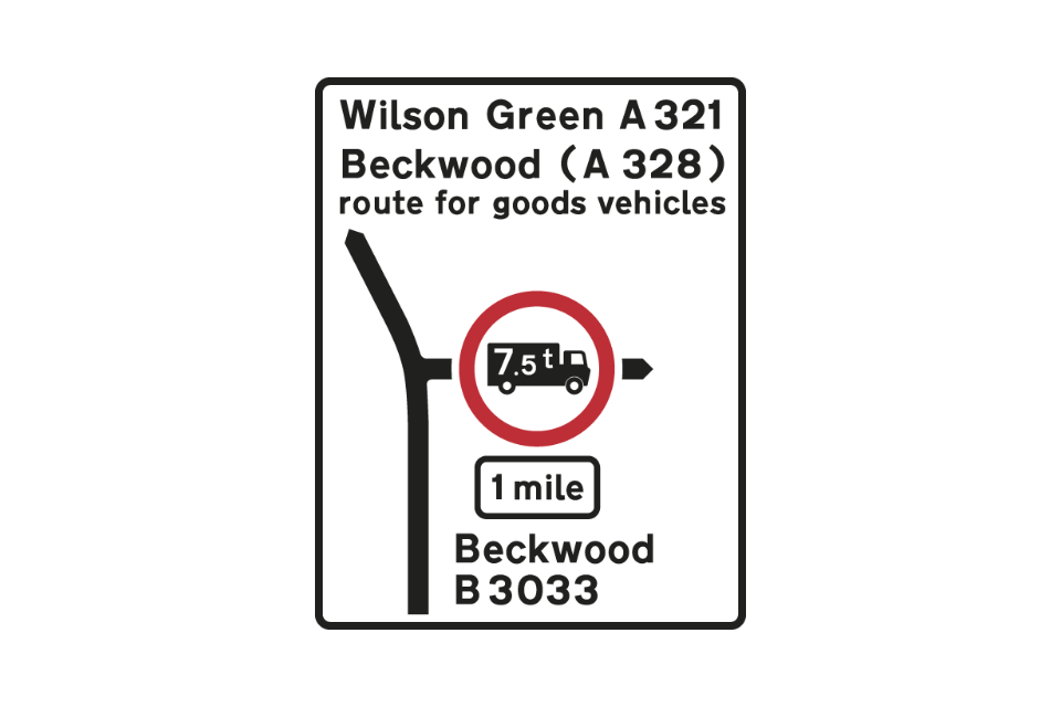
Signs may incorporate prohibitory roundels and indicate alternative routes
Direction signs at the junction may incorporate warning triangles or prohibitory roundels
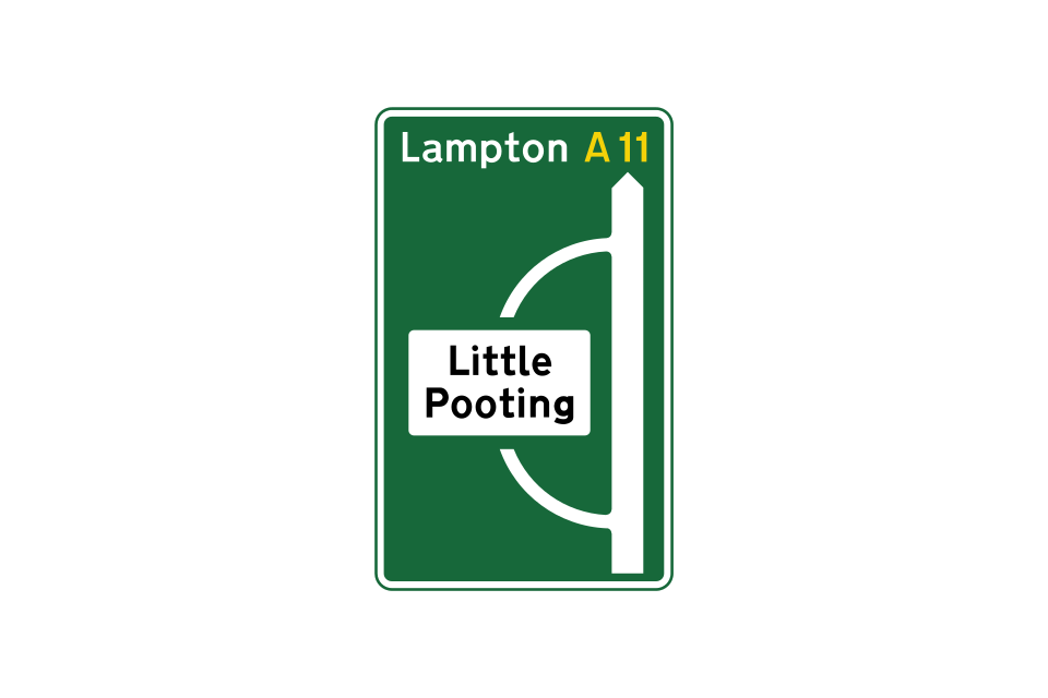
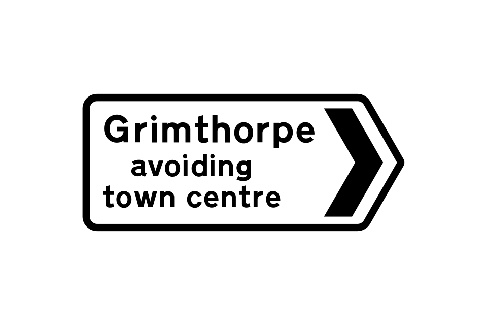
A road through a by-passed town or village leads back to the main route
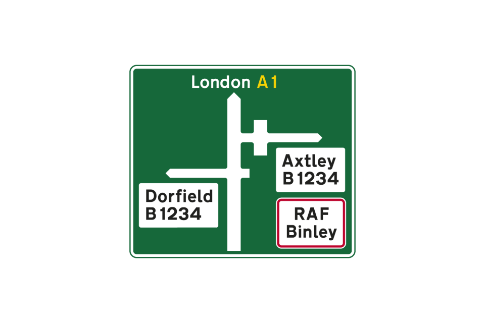
Staggered crossroads on a dual carriageway road: the white panel with the red border indicates a Ministry of Defence establishment
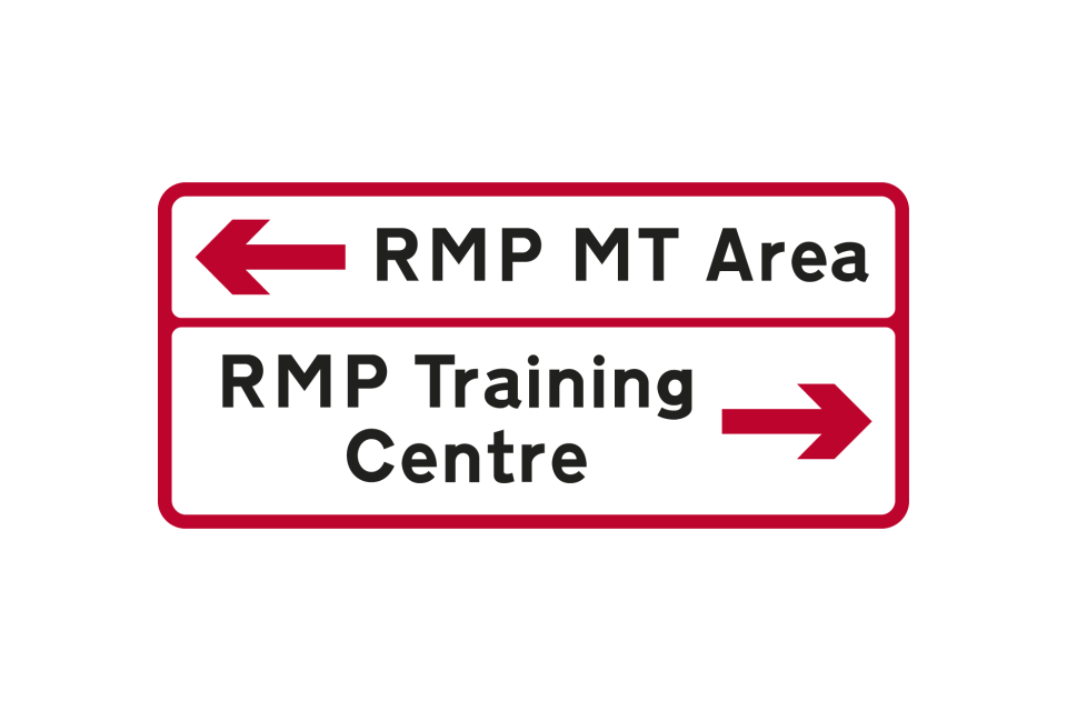
Ministry of Defence establishments may also be shown on separate signs with red borders, arrows and chevrons
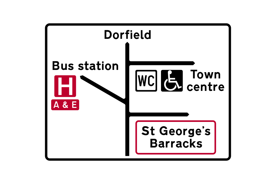
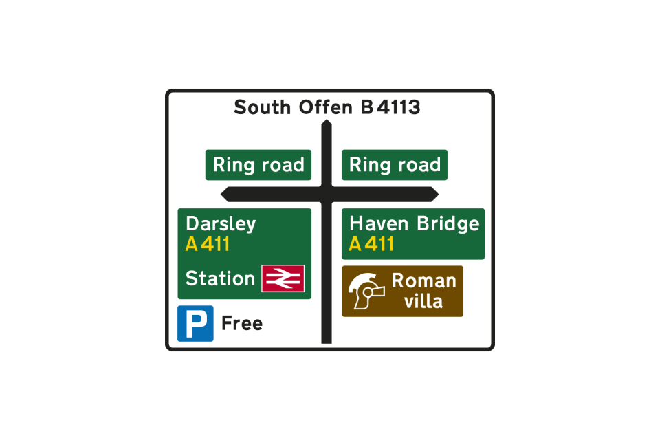
This sign shows a local road with three junctions ahead in close proximity
These signs are used where there are more destinations than can be accommodated on the signs at a junction
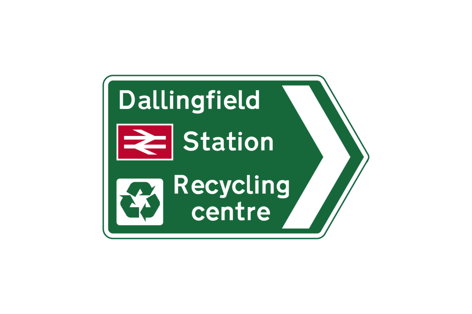
Local destinations, including a railway station and recycling centre, reached along a primary route
This sign shows both primary and local destinations that are reached along a primary route at a junction ahead
These signs are used where there are more destinations than can be accommodated on the signs at a junction
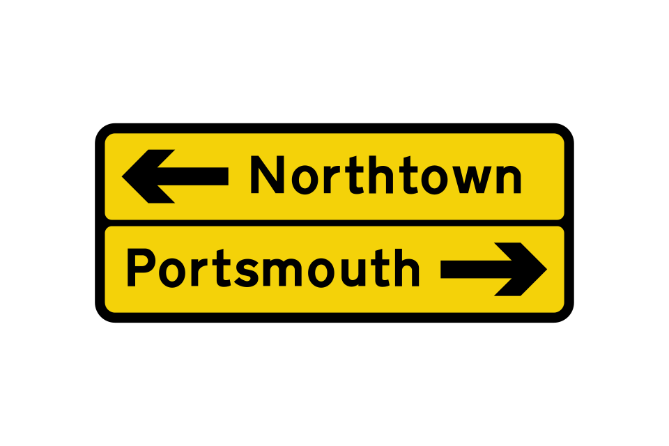
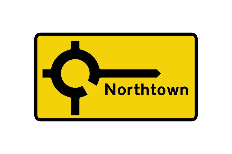
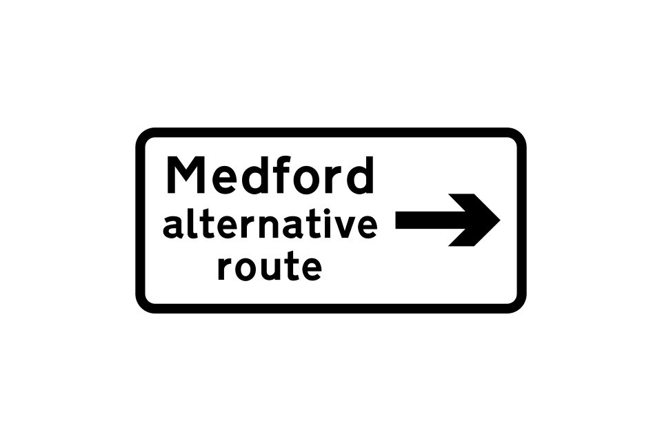
Signs may indicate an alternative route
Direction to an airport
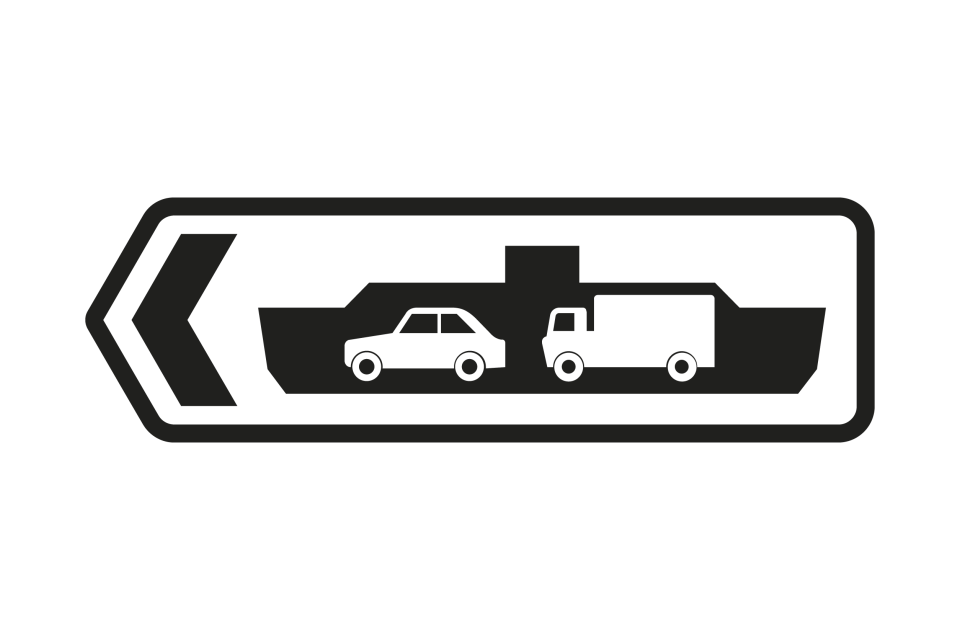
Direction to a car ferry
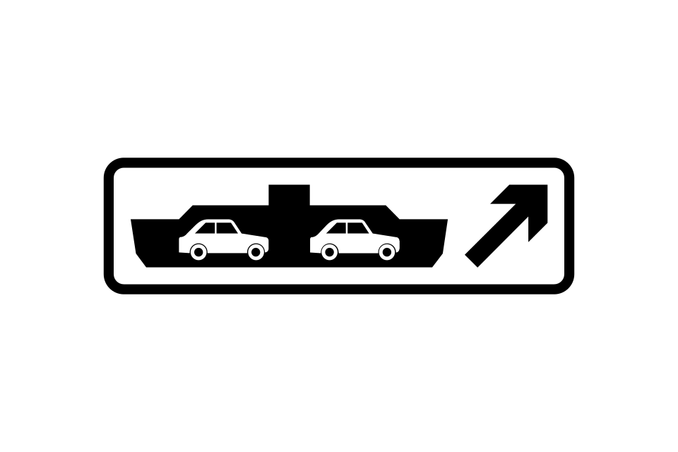
Direction to a vehicle ferry
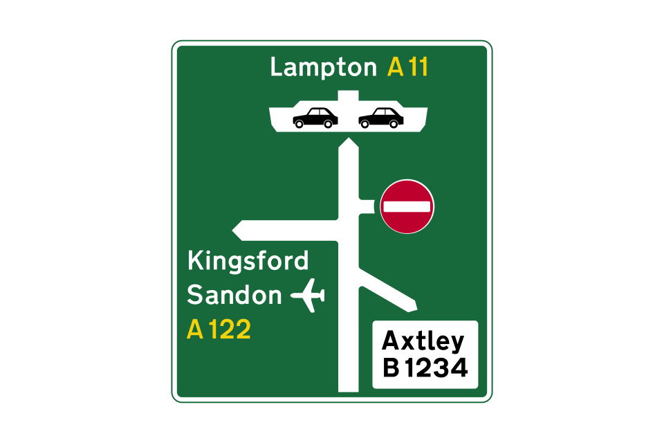
This primary route sign indicates the directions to a ferry and an airport
The route to the left has a priority lane that avoids the roundabout
Direction to a London Underground station
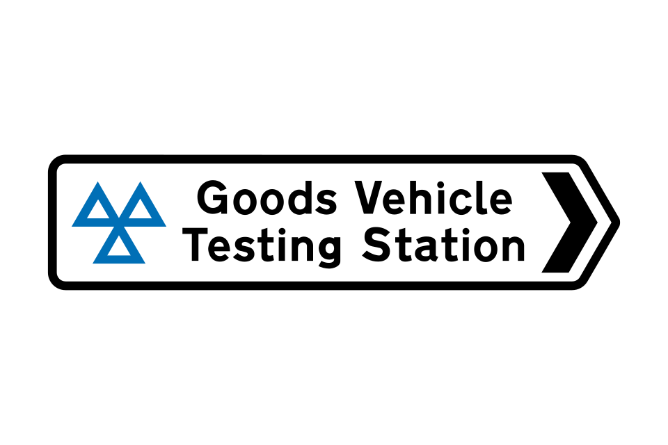
Direction to a Driver and Vehicle Standards Agency (DVSA) testing station for goods vehicles
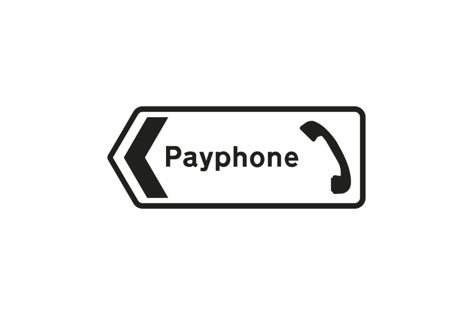
Direction to a public telephone
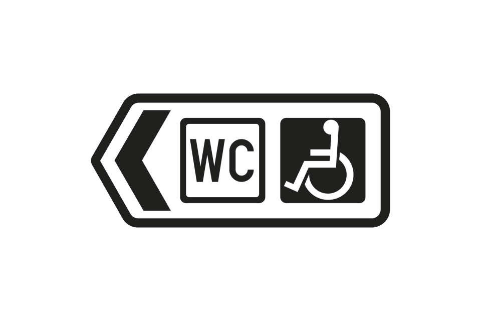
Direction to public toilets with facilities for disabled people
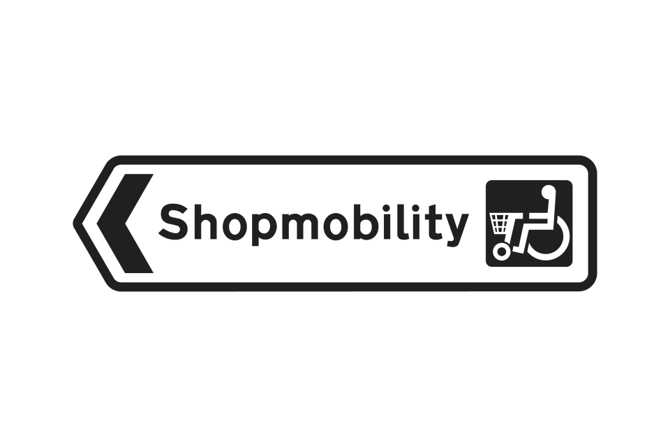
Direction to a ‘Shopmobility’ service for disabled people
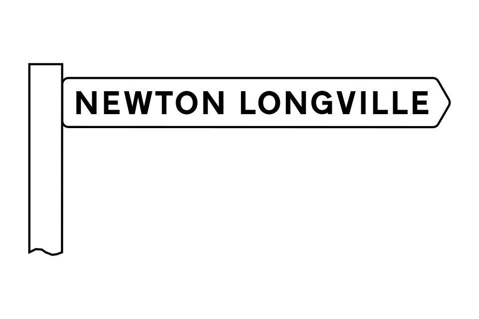
A modern version of the traditional fingerpost may be used at some junctions on minor rural roads
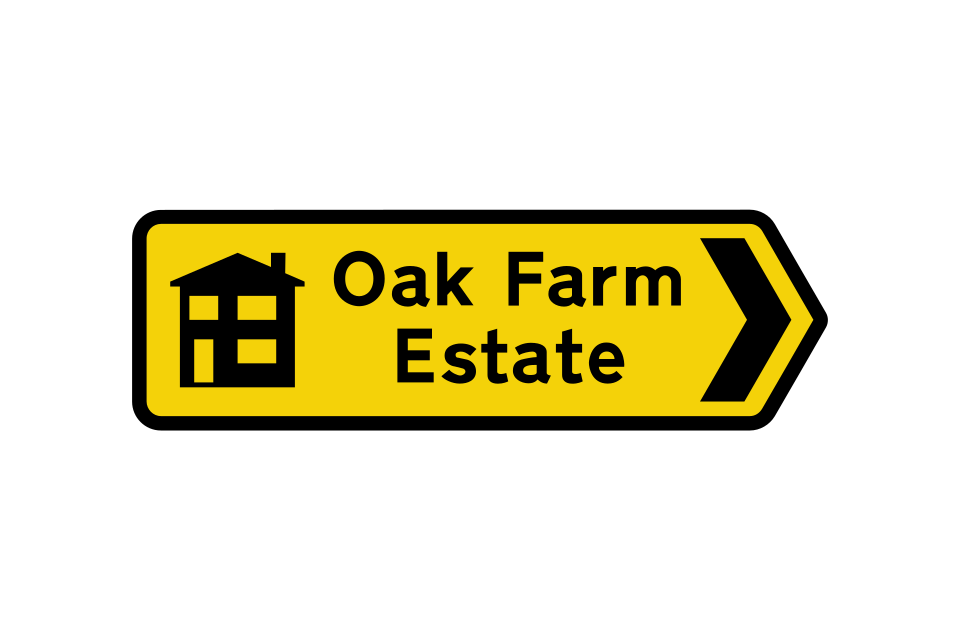
Signs indicating the direction to a new housing development may be left in place for up to six months after completion of the development
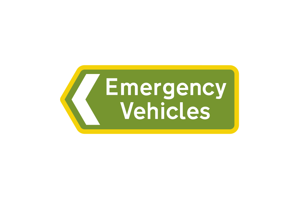
Signs with a light green background and yellow border are used to indicate the route for emergency vehicles to a permanent incident control point
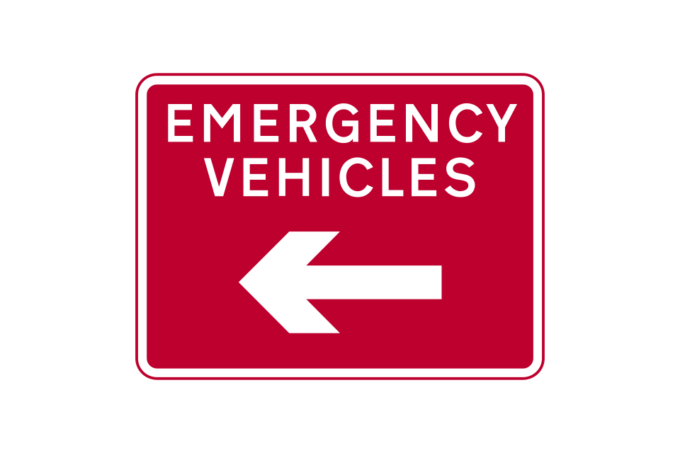
Signs with a red background are used to indicate the route for emergency vehicles to a temporary incident control point
Signs that indicate the appropriate traffic lanes for turning movements at a junction ahead may be used alone or in addition to map-type or stack-type advance direction signs
Sign for drivers on slip road
Sign for drivers on main carriageway
Sign for drivers on slip road
Sign for drivers on main carriageway
Primary route direction sign, in advance of a junction, indicating a route for cyclists
Non-primary route direction sign, in advance of a junction, indicating a route for cyclists
Number of a national cycle route
Number of a regional cycle route
Sign showing the direction and distances (in miles) to destinations along a named cycle route forming part of the National Cycle Network
Sign showing the direction and estimated journey times to destinations along a named cycle route forming part of the National Cycle Network
Sign indicating 2 different cycle routes leading from a junction ahead
Map-type signs may indicate the route through a junction
Direction of a national cycle route
This sign informs you that you are following a national cycle route with the number shown
Signs indicating the direction to a parking place for pedal cycles
Direction signs for pedestrians generally have a blue background with white lettering and include the walking figure symbol
Pedestrian and cycle route to a railway station
A public footpath may be indicated by a yellow waymarker
Distance to the beginning of a dual carriageway road ahead
A section of dual carriageway road begins directly ahead
A short length of dual carriageway road begins directly ahead
Motorway
Primary route
Non-primary route
No through road for vehicular traffic
‘No through road’ sign incorporated in a street nameplate
No through road for vehicular traffic in the direction indicated from junction ahead
Route unsuitable for heavy goods vehicles
Narrow road ahead with passing places at intervals
Passing place on a narrow road
Route unsuitable for type of vehicle indicated
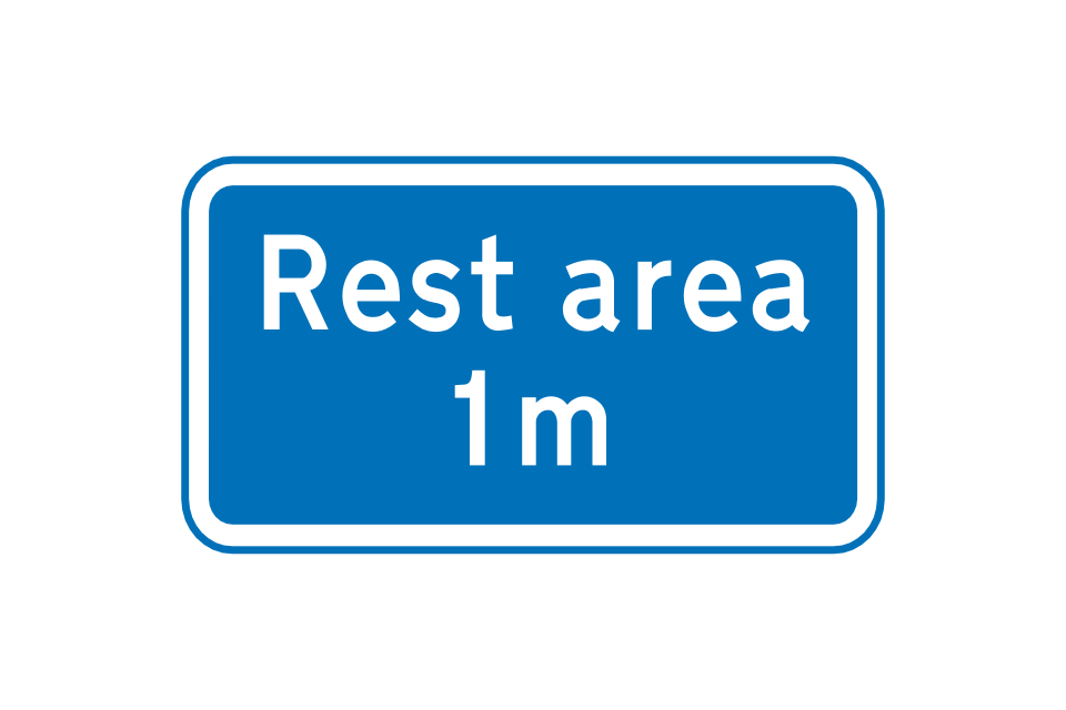
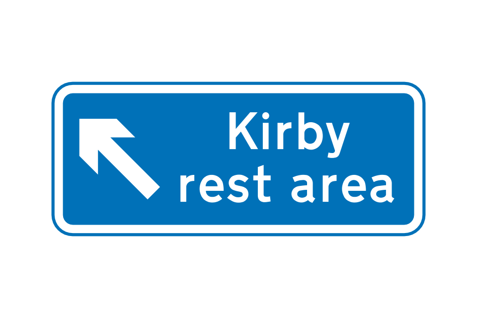
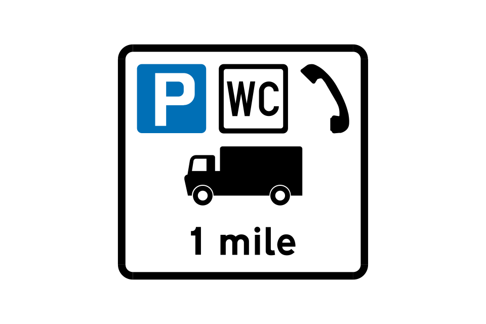
Distance ahead to a parking place
Location of parking place (may include an arrow to indicate the entrance to a parking area)
Distance ahead to a parking place with an emergency telephone
Location of parking place with an emergency telephone (may include an arrow)
Distance ahead to a parking place for emergency use only
Location of parking place for emergency use only (may include an arrow)
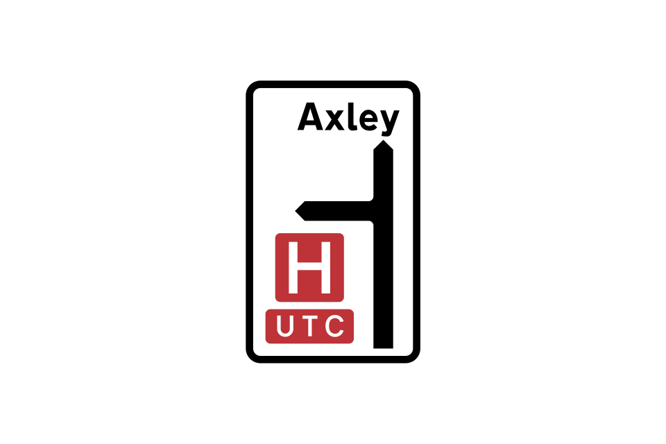
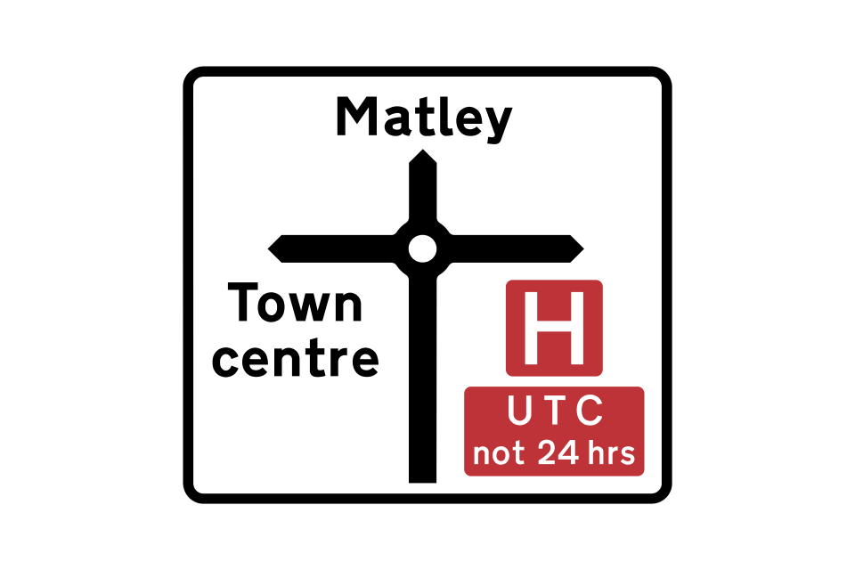
Hospitals with accident and emergency departments or urgent treatment centres are indicated by red signs
Blue signs indicate hospitals without accident and emergency facilities
Stepped entrance to a subway
Ramped entrance to a subway
Ramped approach to a footbridge
Stepped approach to a footbridge
Direction and distance to an emergency exit from a road tunnel
This sign advises pedestrians crossing the road that traffic is one-way in the direction shown information signs
The type of vehicle indicated may be varied to a bus, or lorry and bus together
Leave motorway at next exit
The type of vehicle indicated may be varied to a bus, or lorry and bus together
These temporary signs are put out by the police to warn of potential danger or an accident ahead and the need to proceed with caution
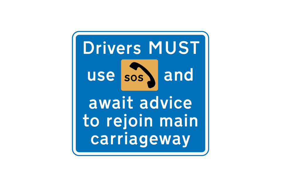
In an emergency, drivers maybe diverted onto the hard shoulder and told when to rejoin the main carriageway
Parking area reserved for police vehicles (the sign might say ‘Police vehicles only’) or additionally, when varied to ‘Authorised vehicles only’, vehicles such as those of National Highways traffic officers
Area where, from time to time, police carry out checks on the speed of vehicles
These temporary signs are used when traffic surveys are taking place
The depth of water at a ford may be shown in both metric and imperial units, or in imperial units only
Signs for drivers leaving the public road
Signs for drivers joining the public road
Where a road is physically closed part-way along its length to prevent its use by through traffic, this sign may be erected at the closure point
A temporary sign may be provided for up to three months following a permanent change to the road layout ahead
RED means STOP
RED and AMBER also means STOP
GREEN means go IF THE WAY IS CLEAR
AMBER means STOP
Although you may turn right on a full green signal, a right-turn GREEN ARROW showing at the same time indicates that turning right should be easier
Signs may be placed with signals to qualify the meaning of the full green signal where movements through a junction are restricted
If a green arrow is shown with a red signal and the way is clear, you may go, but only in the direction shown by the arrow
Light signals for the control of pedal cycles (alternative types)
Low-level cycle signal may be used as a repeater or as an early release function mounted on the same post as a traffic signal or full-size cycle signal
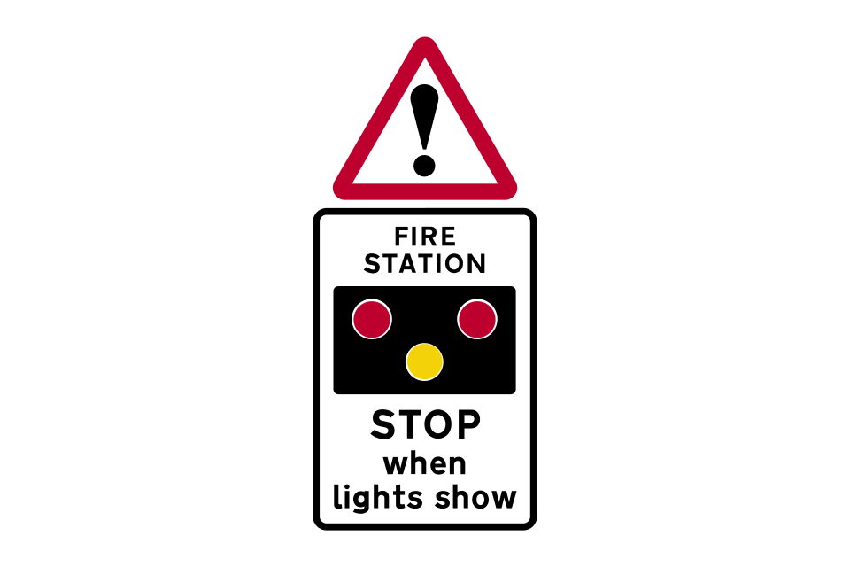
In addition to level crossings, these signals may be used at other locations, such as lifting bridges, airfields or fire stations
Lane control on road leading from a junction ahead in the direction shown
Lane control on road ahead
Special sign: Lane control on main road ahead
Special sign: Lane control signals ahead
The lane control signals are displayed above the road to indicate the availability of the various lanes
Alternative design of green arrow
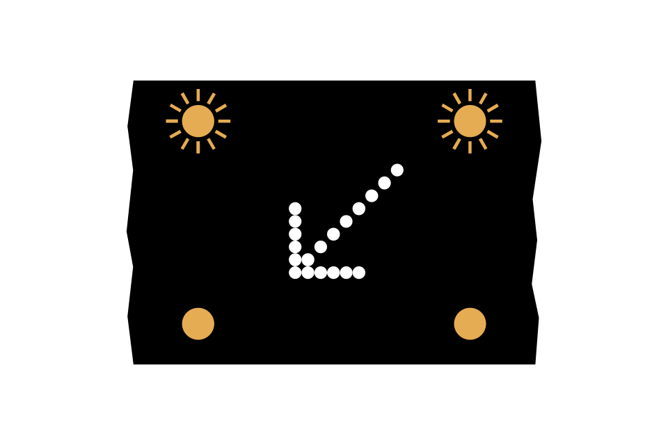
Alternative design of white diagonal arrow
Alternative design of red cross
End of controlled section
The puffin is a type of pedestrian crossing controlled by signals that can detect the movement of pedestrians, so that it can give them enough time to cross safely and keep any delay to drivers to a minimum
Near-side pedestrian signals with push button
Near-side signals for toucan crossing
Far-side signals for toucan crossing
Push-button unit for far-side signals
Pelican crossings are no longer being installed, but many existing ones remain
Far-side signals for equestrian crossing
Near-side signals for equestrian crossing
Push-button unit for far-side signals
Push-button unit
Far-side signals for pelican crossing
Road junctions controlled by traffic signals may include crossing facilities for pedestrians, cyclists and equestrians
Pedestrians should never cross the road within the zig-zag area
Parallel crossings are similar to zebra crossings, but include a cycle route alongside the black and white stripes
Pedestrian countdown system
This sign, indicating road works or an obstruction in the carriageway ahead, may be used for any type of works, ranging from large construction schemes to minor maintenance
The ‘road works’ sign may have a plate that indicates the distance to, the location of, or the nature of the works
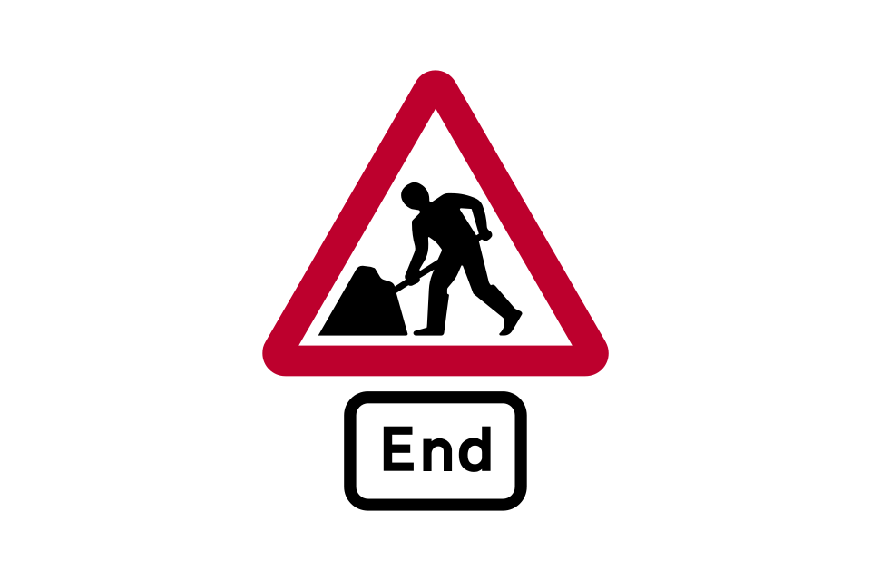
End of road works and any associated temporary restrictions, including speed limits
Barriers are used to mark the boundaries of an area of the highway closed to vehicular and pedestrian traffic
Traffic cones may be used to mark the edge of the route for vehicular or pedestrian traffic through or past a temporary obstruction
At night or in poor daytime visibility, road danger lights may additionally be used to indicate the limits of a temporary obstruction of the carriageway
Signs may provide information about the location of current or future road works where delays or road closures are expected
On the approach to major road works, especially on motorways and dual carriageway roads, signs may indicate the nature and duration of the works
The traffic lanes that remain open are available to all traffic
Some traffic lanes that remain open may have restrictions
Traffic leaving at the next junction should use the near-side lane
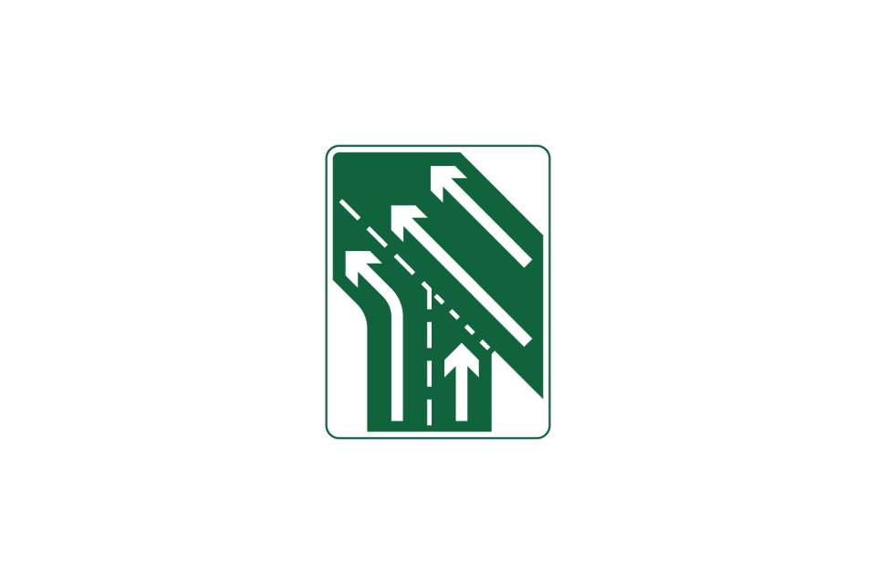
Traffic lanes divide ahead
Traffic lanes move across to the left, making use of the hard shoulder
These signs show the distance over which the reduced number of lanes continue through the road works
Junctions may be accessible from within the road works area
These repeater signs through the works are used where at least one lane has restricted use
Where a contraflow system operates, traffic cylinders are used to separate opposing flows of traffic in adjacent lanes
Junctions may be accessible from within the road works area
The hard shoulder is used as an exit lane at a junction
These signs are located where the exit route leaves the main through route
These signs indicate that use of the hard shoulder as a traffic lane has come to an end
Narrow traffic lanes revert to their normal width
Where delays are likely to occur at road works, the end sign may include a message of apology
This sign may follow the ‘end of road works’ sign to provide a telephone contact number for the traffic authority responsible for the road works
Sign for drivers on slip road
Sign for drivers on main carriageway
This sign indicates a lane drop where the left-hand lane becomes the exit slip road
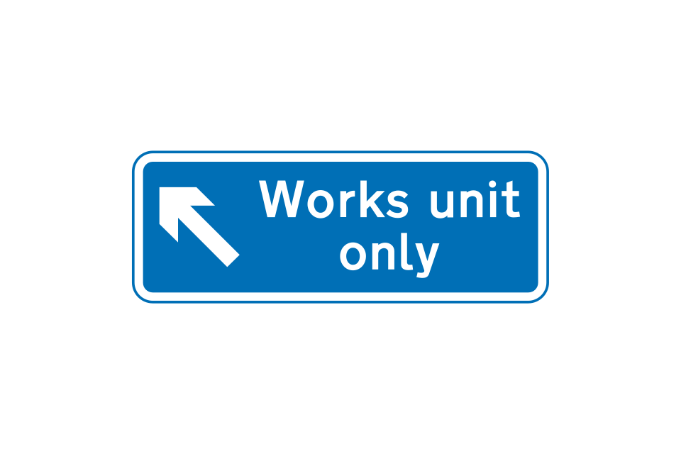
Route to be used only by works traffic
Temporary access to a construction or road works site
Exit from a works site 200 yards ahead
Location of temporary exit from a construction or road works site
Works access on the left, 100 yards ahead
Sign to direct works traffic in advance of a road junction or works entrance
Sign to direct works traffic at a road junction or works entrance
Traffic signals ahead where convoy working is in operation
Advance warning may be given when delays are expected during overnight convoy working
Vehicles to be escorted in convoys through road works ahead
Reason for convoy working
Point beyond which vehicles should not proceed when temporary traffic signals show a red light
When the green light shows at temporary traffic signals, vehicular traffic must follow the vehicle escorting the traffic through the road works
Sign on convoy vehicle (‘NO OVERTAKING’ may be omitted)
On single carriageway roads with a speed limit of 40 mph or more, the ‘keep right’ sign on the back of the works vehicle or the vehicle protecting the works includes flashing amber lights
On motorways and dual carriageway roads, mobile lane closures may be introduced on either the left-hand or right-hand side of the carriageway
On the approach to mobile works on a motorway or dual carriageway road, vehicles with signs indicating the lanes that are closed will be on the hard shoulder or at the side of the carriageway
Mobile carriageway closures may be used to convoy traffic when it is necessary to hold traffic back while cones and signs are moved to change a temporary contraflow system, or perhaps to remove an overhead cable
At some road works sites on single carriageway roads where two-way traffic flow is not possible, it is necessary to alternate the direction of flow by traffic control
Portable traffic light signals for the control of vehicular traffic
Temporary signals control a junction
Signs for an uncontrolled junction on a road with shuttle working
Details of a new road scheme under construction
Information about street works, with an emergency telephone number (sign for pedestrians)
Risk of skidding and maximum speed of 20 mph advised on a road that has loose chippings
Maximum speed advised, in miles per hour, through road works
Temporary sudden change in level of carriageway
Sharp deviation of route to the left (right if chevrons reversed) at road works or other temporary obstruction
The end of a temporary mandatory speed limit is indicated by the ‘end of road works’ sign
In the event of a breakdown within a road works site, await rescue by free recovery service
Instructions to drivers of wide loads on action to be taken before reaching road works ahead (instructions may vary)
Location of telephone to be used by drivers of wide loads to seek assistance
Additional traffic lane available ahead as part of a temporary traffic management scheme
Sharp bends ahead where traffic is diverted onto a temporary road for a short distance: the number of traffic lanes remains the same
This sign is used on a single carriageway road with more than 2 lanes, to indicate that a lane in the centre of the road is temporarily closed
Variable message sign ahead not in use or being tested
Traffic signals not in use
Zebra, parallel or signalled crossing facility temporarily out of use (sign for pedestrians, cyclists or equestrians)
Temporary sign used at road works to indicate the direction in which pedestrians should look for approaching traffic
Temporary route for pedestrians
Temporary sign used at road works to instruct cyclists to dismount and use the adjacent footway
Temporary hazard: vehicular traffic should proceed slowly
Vehicular traffic should proceed slowly, owing to workforce in the road ahead
Vehicular traffic must not proceed beyond the sign when it is displayed for a short period during works on or near a road (hand-held sign)
Hard shoulder temporarily closed for the distance shown
Temporary absence of road markings for the distance shown
Sign on a vehicle being used in connection with highway maintenance works (flashing amber lights are normally mounted on the roof of the vehicle)
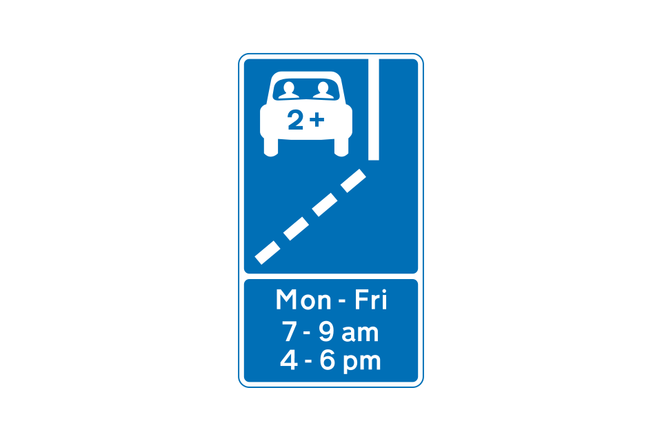
This sign gives advance warning of a HOV lane ahead
A separate sign gives the times of operation of a HOV lane ahead
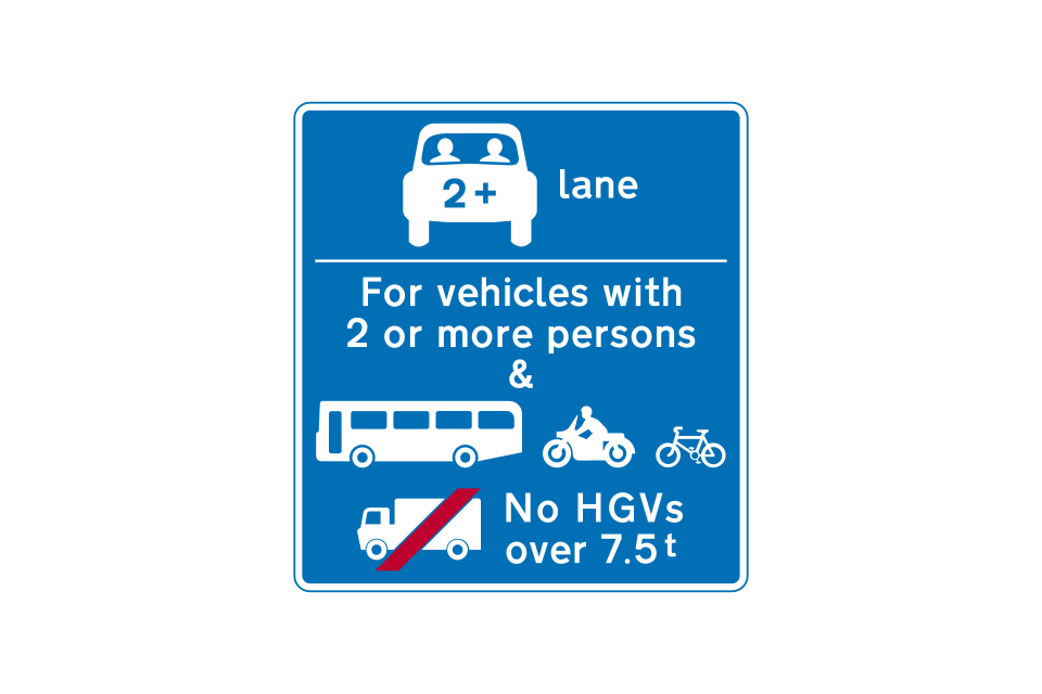
Another sign indicates which vehicles may use the HOV lane ahead
Start of HOV lane (near-side)
HOV lane (near-side)
HOV lane road marking
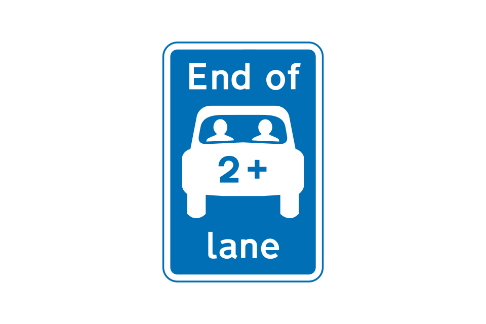
End of HOV lane
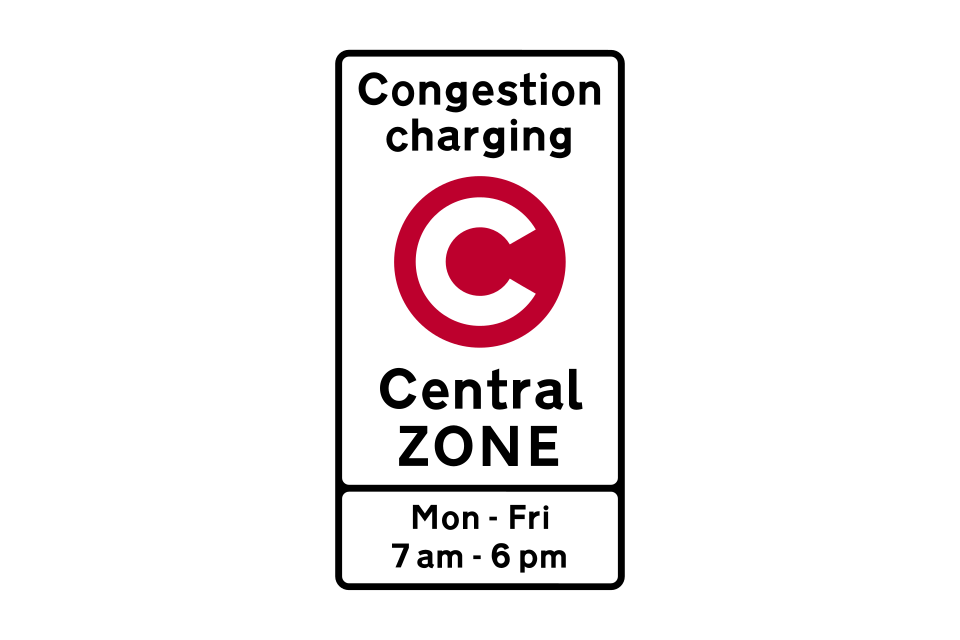
This example shows a typical zone entry sign
This information sign for a tolled crossing shows the distance to the crossing in the top panel, the charging period and charge in the middle panel and the method of payment in the bottom panel
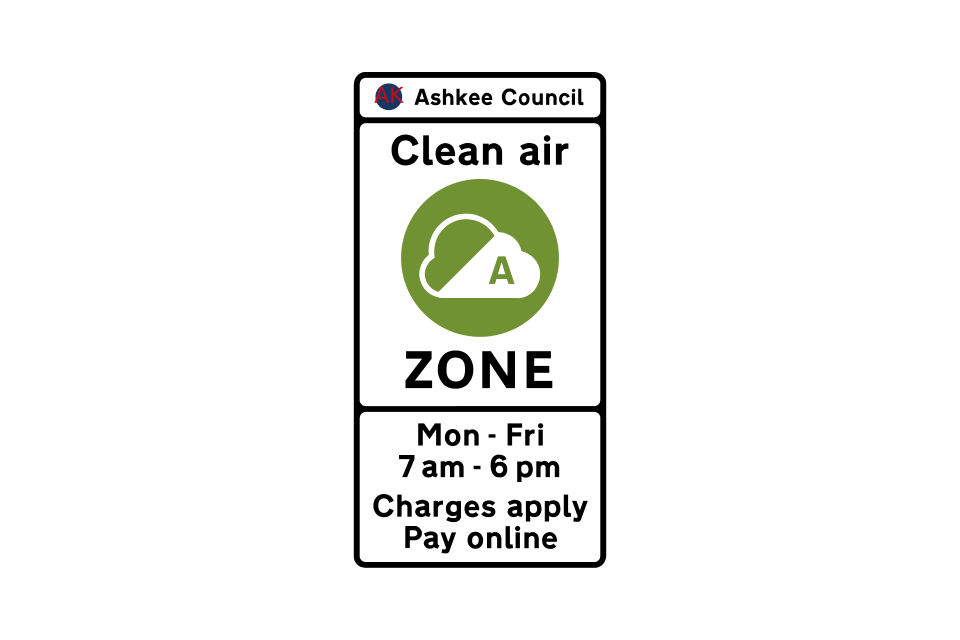
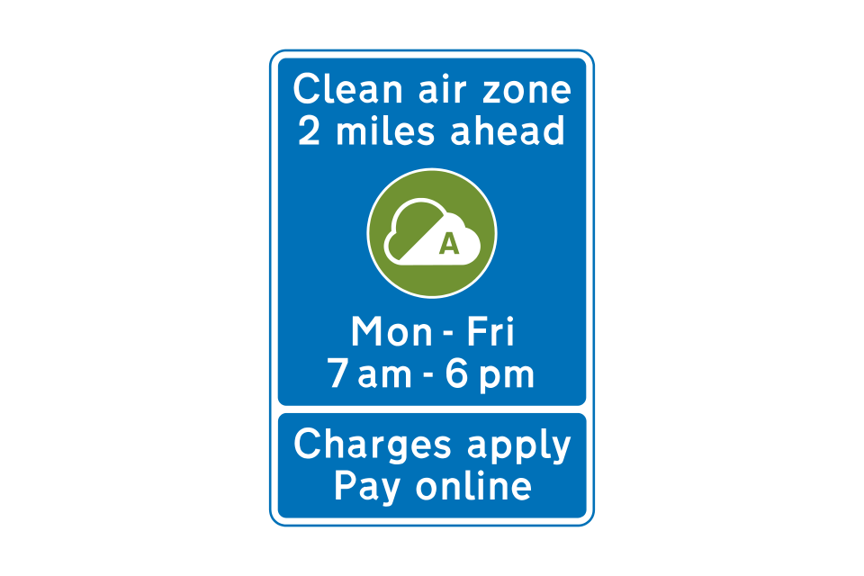
Clean air zone 1
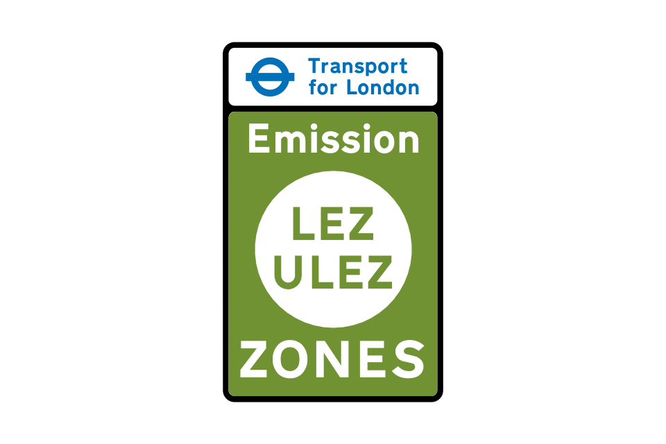
The Ultra Low Emission Zone (ULEZ) was introduced in London and aims to improve air quality by reducing the number of vehicles in London that do not meet emissions standards
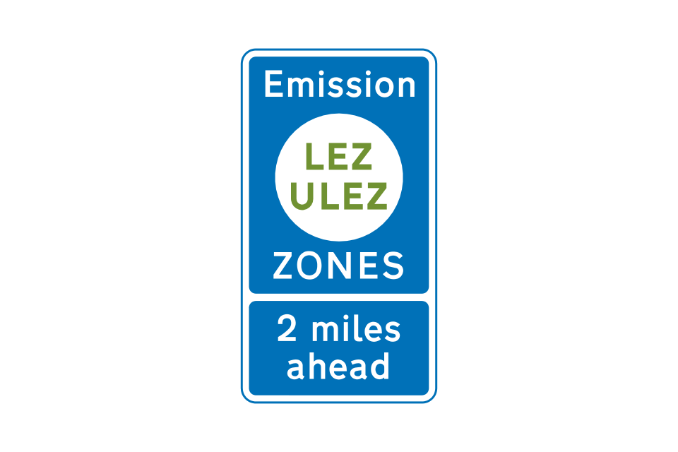
Emission zone 1
Low Emission Zones (LEZ) have been introduced in several Scottish cities to contribute to a reduction in harmful air pollution
Entrance to a Low Emission Zone in Scotland
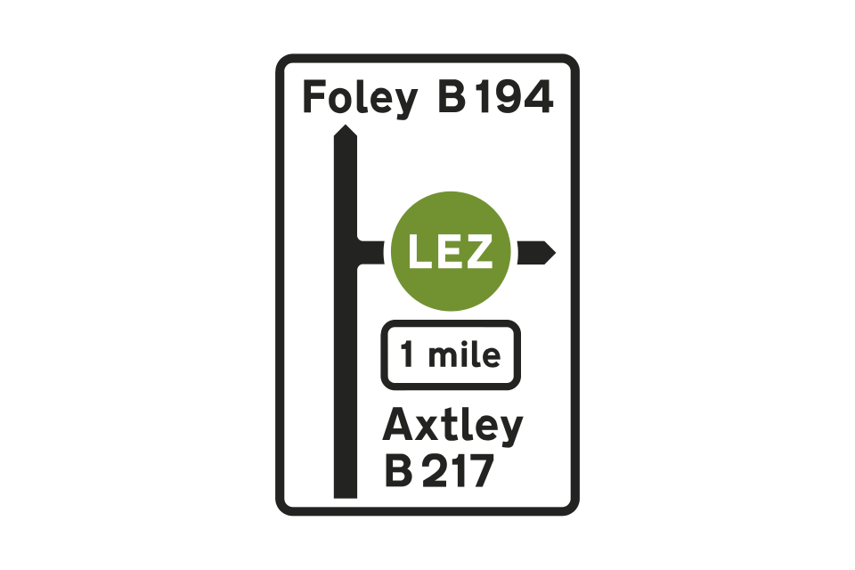
Direction sign showing the distance to the start of a Low Emission Zone in Scotland
Road marking indicating the commencement of a Low Emission Zone in Scotland
Advance notification sign showing the distance to the start of a Low Emission Zone in Scotland
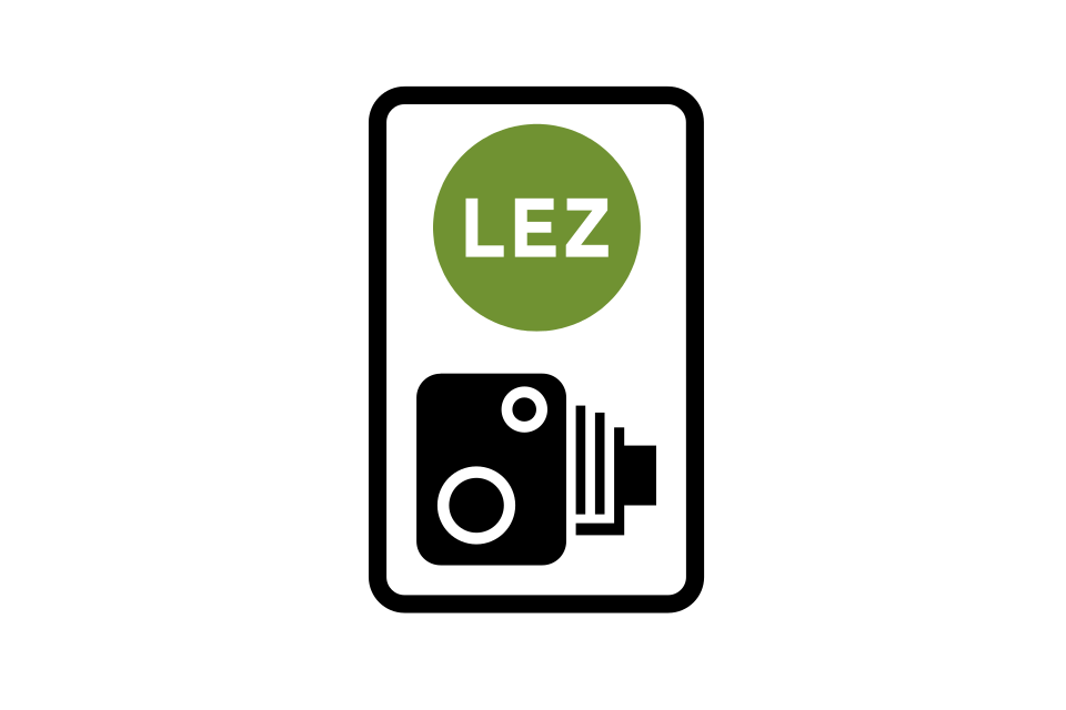
Reminder to drivers within a Low Emission Zone in Scotland in which cameras are used to enforce traffic regulations
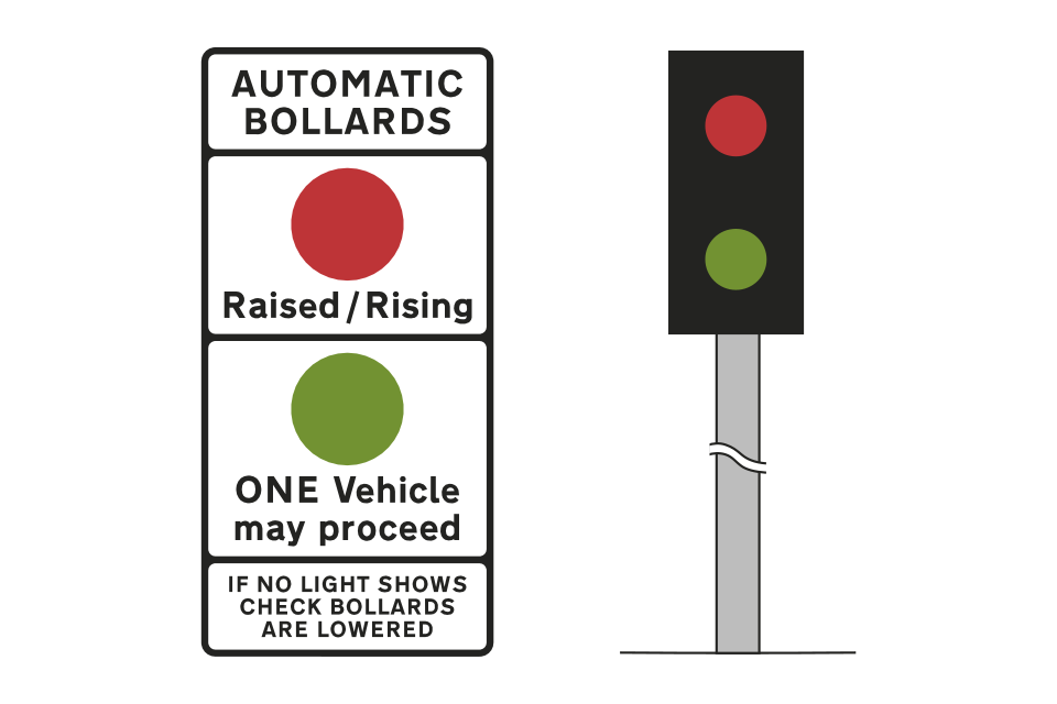
Rising bollards
Automatic bollards
Driver location sign
The Department for Transport’s Traffic Signs Manual provides detailed guidance for those responsible for designing and installing traffic signs